




Hollywood Hills asks 91% more than Los Angeles as a whole.
Los Angeles, California · Neighborhood guide
Hollywood Hills
The canyons and ridges above Sunset, from Laurel Canyon across the Cahuenga Pass to the Hollywood Sign, where every view comes with fire-zone fine print

Median askingHollywood Hills$2.29M197 for sale
See homesHollywood Hills, in short.
The Hollywood Hills are the hillside neighborhoods of the City of Los Angeles above Hollywood, from Laurel Canyon east across the Cahuenga Pass (745 feet, the lowest crossing of the Santa Monica Mountains) to Beachwood Canyon and the Hollywood Sign. The houses came in waves: 1920s tracts like Whitley Heights, Outpost Estates and Hollywoodland, then mid-century houses on stilts, then glass rebuilds. As of September 2026 most houses asked about $1.8 million to $3.9 million. Runyon Canyon's 160 acres and the 3.5-mile Lake Hollywood loop are the daily outdoors. The whole area is a Very High fire hazard zone; the Sunset Fire burned 43 acres beside Runyon Canyon on January 8, 2025.
Hollywood Hills by the numbers.
- 21,308Population
- 54%Homeowner-occupiedoccupied homes
- 67%Bachelor's degree or higherage 25+
- $9,750/moMedian asking rentCurrent MLS listings
- $133,156Median household income
- 44.0Median age
Sources: U.S. Census Bureau, ACS 5-year 2019–2023; neighborhood facts compiled by The Slava House.
The hills between Laurel Canyon and the Hollywood Sign
A string of canyon neighborhoods above Hollywood, split by the 101 through the Cahuenga Pass.
The Hollywood Hills aren't one neighborhood but a string of them along the south face of the Santa Monica Mountains above Sunset and Hollywood boulevards. From west to east they run Laurel Canyon, Nichols Canyon, Outpost Estates, Hollywood Heights, Whitley Heights, the Cahuenga Pass, Hollywood Dell, Lake Hollywood, and Beachwood Canyon with Hollywoodland at its top. The Los Angeles Times' Mapping L.A. project draws the line between Hollywood Hills West, which touches Studio City and ends at the Beverly Hills city line, and Hollywood Hills proper to the east.
The Cahuenga Pass is the seam. At 745 feet it is the lowest pass through the mountains, which is why the Hollywood Freeway runs through it. The first stretch opened on June 15, 1940 as the Cahuenga Pass Freeway, with Pacific Electric trolleys in the median until 1952. The full freeway from the Valley to downtown opened on April 16, 1954, and within a year carried 183,000 vehicles a day, nearly double its design. Building it took 49 houses out of Whitley Heights.
Visitors come for what sits above the traffic: the sign on Mount Lee, Runyon Canyon's trails, the Hollywood Bowl, Mulholland Drive's overlooks, and the reservoir at Lake Hollywood. If you live here, they're just up the street. You pay for that in hillside terms. Streets are narrow, the whole area sits in a Very High fire hazard zone, and parking is regulated block by block. This guide covers the hills from Laurel Canyon Boulevard east to Bronson Canyon; the Bird Streets and Sunset Plaza lie further west.
Live from the MLS
Hollywood Hills compared with all of Los Angeles.
A square foot in Hollywood Hills costs 24% more than across Los Angeles.
Hollywood Hills$818
All of Los Angeles$660
Listings in Hollywood Hills have been on the market about as long as across Los Angeles.
What’s for sale
79% of the homes for sale in Hollywood Hills are single-family houses.
- Single-family79%156 homes
- Condo13%25 homes
- Multi-unit8%15 homes
- Townhouse1%1 home
Homes for sale in Hollywood Hills are 49% bigger than across Los Angeles.
Hollywood Hills2,765 sq ft
All of Los Angeles1,856 sq ft
Each card sets the median in Hollywood Hills against all of Los Angeles. The arrow on a card lists every Los Angeles neighborhood we cover. Asking prices for homes on the market right now inside each mapped area, not sale prices. Updated October 4, 2026, 1:00 AM PT
Homes for sale in Hollywood Hills
197 active listings in the mapped area
$3,750,000
Single-Family3 bd4 ba3,101 sqft
8050 Willow Glen Road
$1,200,000
Single-Family3 bd3 ba2,200 sqft
2228 Laurel Canyon Boulevard
$2,995,000
Single-Family4 bd5 ba4,428 sqft
8755 Skyline Drive
$3,749,500
Single-Family6 bd6 ba4,416 sqft
3001 Passmore Drive
$799,000
Condo3 bd3 ba1,667 sqft
7218 Hillside Avenue 202
$950,000
Multi-Family3 bd3 ba3,100 sqft
2652 N Beachwood Drive
$2,395,000
Single-Family4 bd5 ba4,730 sqft
8041 Bulwer Drive
$3,975,000
Single-Family5 bd6 ba4,955 sqft
8171 Tianna Road
$625,000
Condo2 bd2 ba1,257 sqft
1942 Grace Avenue 122
$1,599,000
Single-Family3 bd2 ba1,718 sqft
2118 Woodland Way
$579,000
Condo2 bd2 ba1,002 sqft
2700 Cahuenga Boulevard 4220
$1,995,000
Single-Family5 bd5 ba4,241 sqft
2001 Holly Hill Terrace
$3,699,000
Single-Family4 bd5 ba3,450 sqft
2229 Castilian Drive
$4,795,000
Single-Family4 bd5 ba3,449 sqft
7139 Macapa Drive
$2,299,000
Single-Family4 bd5 ba2,810 sqft
1967 Carmen Avenue
$1,295,000
Multi-Family4 bd4 ba2,331 sqft
6143 Glen Holly Street

Still deciding? Ask me.
I’m a Realtor based in Long Beach, and Los Angeles is one of the cities I work most. Tell me what you’re after in Hollywood Hills and I’ll help you get there.
Slava Ploshkin · DRE #02323623English and Russian · How I work in Los Angeles
Where to eat, shop, and explore in Hollywood Hills
The restaurants, cafes, shops, parks, and landmarks that give Hollywood Hills its everyday character, most within a short walk.
11 places
Pick one and I’ll show you where it is.
Recreation10 min walk
160 acres of canyon bought by the Santa Monica Mountains Conservancy and the city in 1984, with gates at Fuller and Vista on the south side and Mulholland on the north. Dogs run off-leash on 90 of the acres. It closed after the January 2025 fire and reopened in stages from late February 2025.
Street parking near the Fuller and Vista gates is permit-restricted; the Mulholland gate has a small free lot.
Landmark45 min walk
Dedicated July 13, 1923 as a real-estate ad for Hollywoodland, cut to HOLLYWOOD in 1949, and rebuilt in steel with 45-foot letters in 1978. It sits on the south slope of Mount Lee, 1,708 feet up.
The Beachwood Drive gate to the sign trail closed to the public in April 2017; hikers now go in from Canyon Drive or Griffith Park.
Recreation25 min walk
The reservoir behind Mulholland Dam, built in 1924. A 3.5-mile paved loop crosses the dam under pines, with the sign on the ridge above. Lake Hollywood Park on the east side is the flat lawn everyone photographs the sign from.
Landmark15 min walk
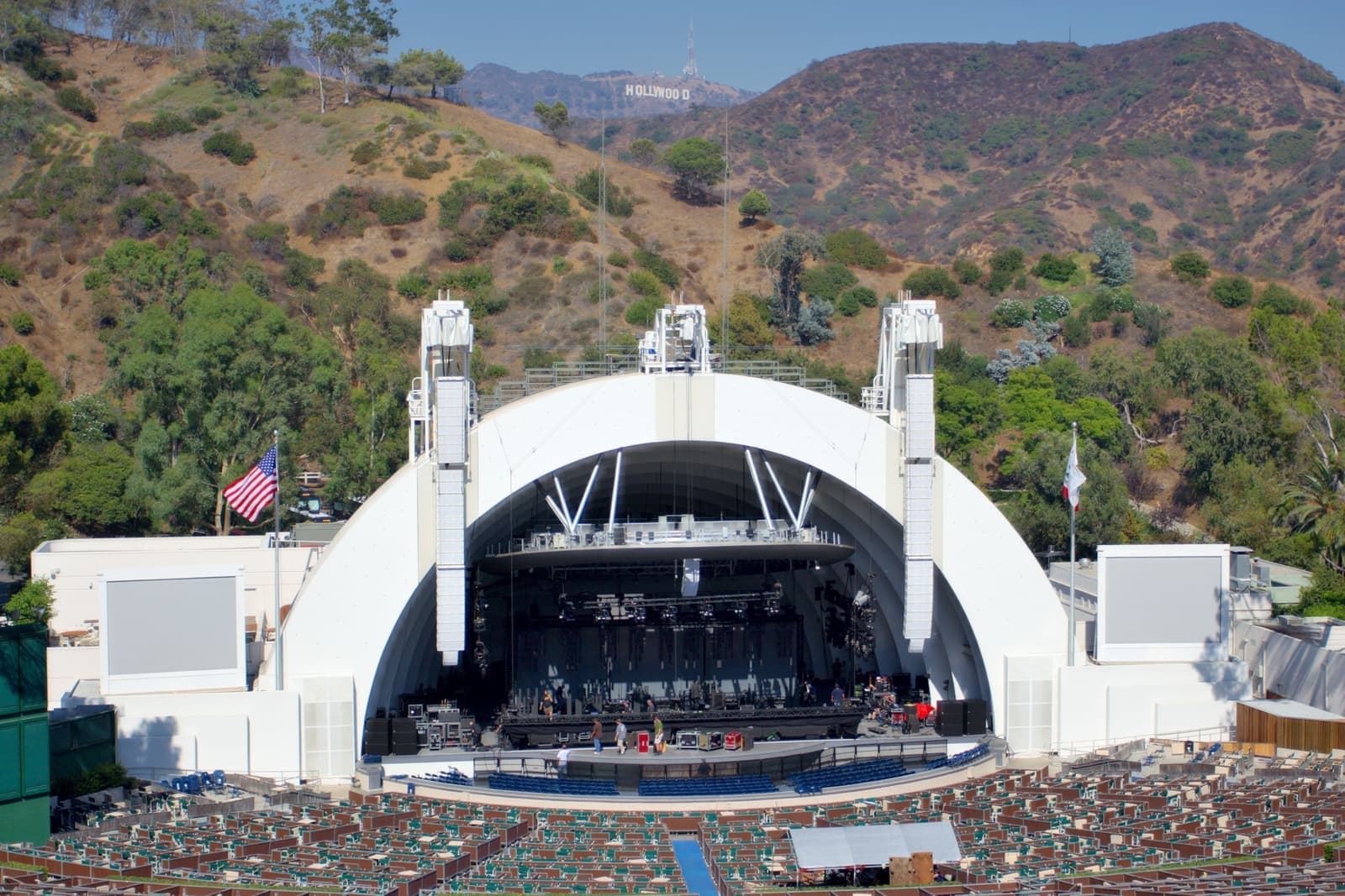
The county-owned amphitheater in the Cahuenga Pass, open since July 11, 1922, seating 17,500. Summer concert nights fill the pass with traffic; the Bowl cut on-site parking in 2024 and leans on shuttles.
Hillside residents near Highland learn the concert calendar; the streets around the Bowl are permit-only on show nights.
Park10 min walk
The Mulholland Drive overlook above the Bowl, looking over the pass to the basin and downtown. Mulholland opened in 1924 as Mulholland Highway and runs 21 miles along the ridge.
Restaurant35 min walk
The corner cafe in Beachwood Village, the small cluster of market, cafe, and shops that serves Hollywoodland, just below the 1923 stone gates.
Shopping30 min walk
Laurel Canyon's market since 1924 at 2108 Laurel Canyon Boulevard, the corner Jim Morrison watched when he wrote Love Street. It's scheduled to go before the city's Cultural Heritage Commission on October 15, 2026 for landmark consideration.
Restaurant45 min walk
The long-running French bistro on Franklin Avenue, in the Franklin Village strip at the foot of Beachwood and Bronson canyons.
Coffee45 min walk
Coffee, sandwiches, and a wine wall at Franklin and Bronson, the everyday stop for the east side of the hills.
Park45 min walk
The Griffith Park canyon at the top of Canyon Drive, with the old quarry caves and the trail that now carries most of the foot traffic to the sign.
Park20 min walk
The estate garden at the foot of the hills on Curson Avenue, with a footpath that climbs into Runyon Canyon. The January 2025 Sunset Fire started on Solar Drive between here and Runyon.
How the Hollywood Hills were built
Three 1920s tracts set the look, and one of them left its ad on the mountain.
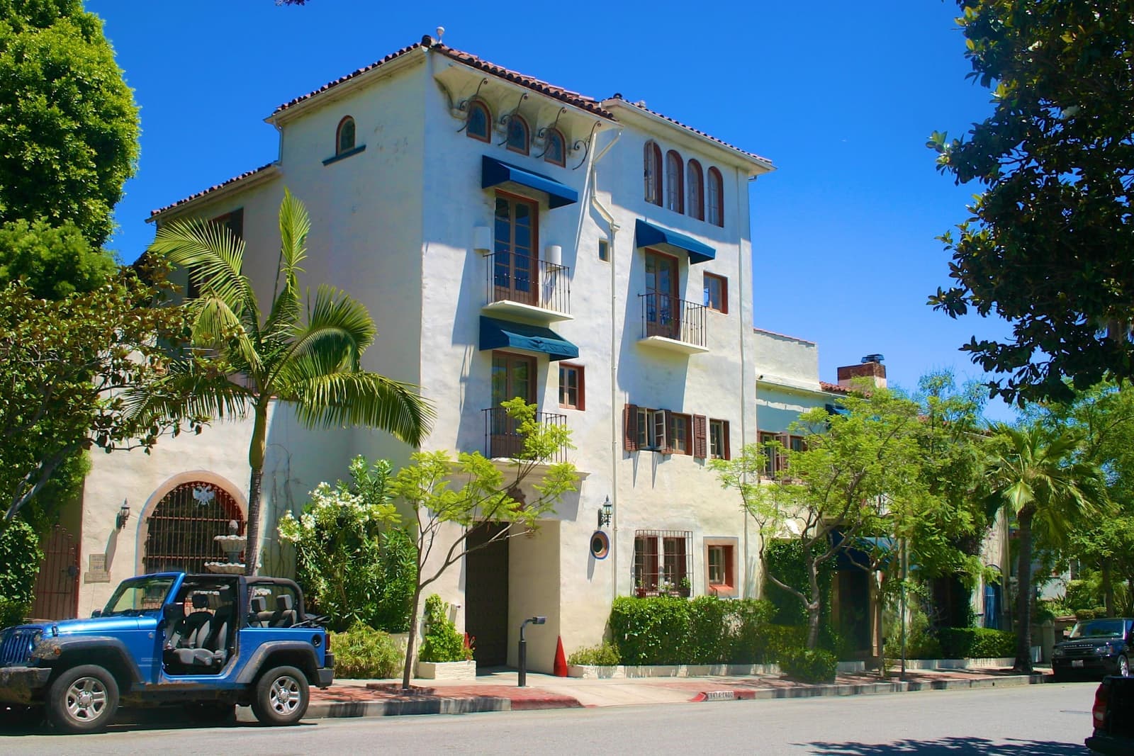
The hills were subdivided in the 1920s by developers selling views. H.J. Whitley had bought the slopes above Highland in 1901 and 1903, and in 1918 hired architect A.S. Barnes to lay out Whitley Heights as a Mediterranean village. Most of its houses went up between 1918 and 1928, and it became the first hillside colony of film people. The district entered the National Register of Historic Places on August 19, 1982 and became a city Historic Preservation Overlay Zone in 2004.
Charles E. Toberman bought the land for Outpost Estates in 1924 and required Spanish, Mediterranean, or California modern houses with red tile roofs, approved by an architectural committee. A 30-foot neon OUTPOST sign stood above it until the war. The tract has about 450 homes and a homeowners association formed in 1967, and Lower Outpost still looks much as it did in the 1920s.
Hollywoodland came the same year. Developers S.H. Woodruff and Tracy Shoults opened Beachwood Canyon's upper slopes in 1923, marked the entrance with two stone gates at Beachwood, Belden, and Westshire, and had European stonemasons build granite retaining walls and six public stairways up the hillside. The gates are Historic-Cultural Monument No. 20, designated in 1963; the walls and stairs are No. 535, designated in 1991. The tract's advertisement was the sign: 50-foot letters spelling HOLLYWOODLAND, dedicated July 13, 1923 at a cost of $21,000 and meant to last eighteen months. The Chamber of Commerce removed LAND in 1949, and in 1978 nine donors paid $27,778 each to rebuild it in steel with 45-foot letters, unveiled November 11 of that year.
Laurel Canyon is older and looser. A dirt road went through in 1907, a trackless trolley began carrying passengers up it on September 11, 1910, and a fire on October 26, 1918 burned about 200 acres and the Lookout Mountain Inn. The canyon's 1960s music colony grew around the Canyon Country Store, built in 1924 at 2108 Laurel Canyon Boulevard. Mulholland Drive, tying all of it together along the ridge, opened in 1924 as Mulholland Highway, the same year the dam that made Lake Hollywood was finished.
- Whitley Heights (1918-1928): National Register 1982, HPOZ 2004
- Outpost Estates (1924) and Hollywoodland (1923): 1920s tracts with design rules from the start
- The sign was a 1923 real-estate ad; LAND came off in 1949; rebuilt 1978
From canyon cottages to houses on stilts
A century of hillside building, from tile-roofed 1920s villas to glass rebuilds.
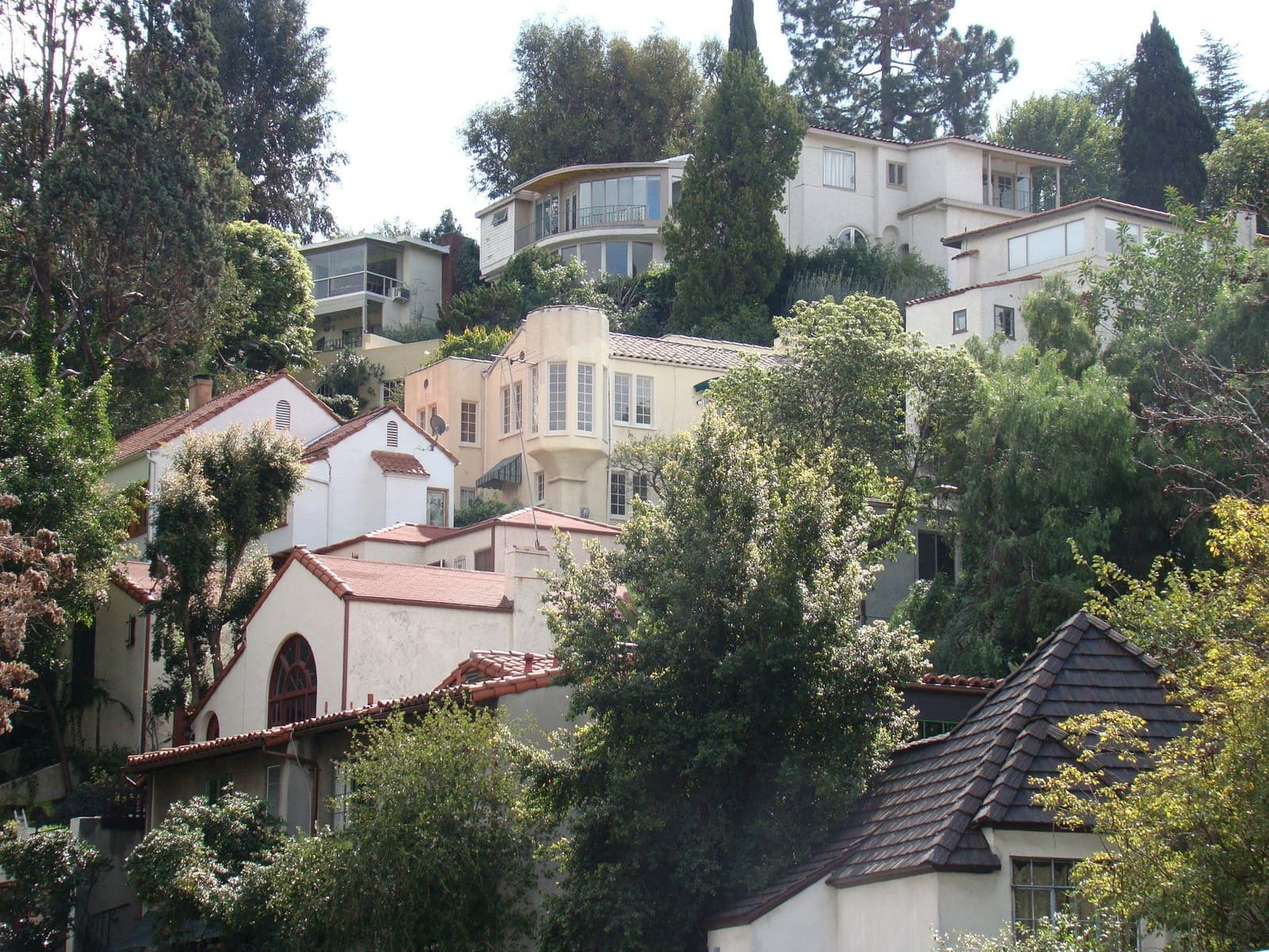
There is no single Hollywood Hills house. The 1920s tracts hold Spanish Colonial and Mediterranean villas in Whitley Heights and Outpost, and Hollywoodland's mix of storybook, Norman, and Spanish styles on the walls and stairs of Beachwood Canyon. Laurel Canyon and Nichols Canyon are looser: cottages and cabins on small canyon lots, expanded over the decades, alongside mid-century houses and new builds. The ridges and the streets off Mulholland carry the post-war houses on stilts and the contemporary rebuilds that trade on the view.
Views set the price more than square footage. A basin view, a Valley view from the north slope of the pass, or a sightline to the sign each carries its own premium, and a lot that loses its view to a neighbor's rebuild loses value with it. Lots are irregular and driveways steep, and the garage is often below the house or across the street. Condos and small apartment buildings sit along the lower roads, Franklin Avenue, and the Cahuenga Pass. They're the cheapest way into the hills.
Building here is governed by the city's Baseline Hillside Ordinance, Ordinance 181,624, in effect since May 9, 2011 and amended in 2017. It applies to single-family zones in the mapped Hillside Area and limits floor area and height by the slope of the lot, caps grading, and restricts hauling on narrow streets. Within a half mile of Mulholland, the 1992 Mulholland Scenic Parkway Specific Plan adds a second layer. Its Inner Corridor is the right-of-way plus 500 feet. Projects that add 900 square feet or need a grading permit go to the Mulholland Design Review Board. Whitley Heights adds HPOZ review on top. Any remodel plan should start with those three checks.
- 1920s tracts, mid-century stilt houses, and contemporary rebuilds; views drive price
- Baseline Hillside Ordinance (2011) limits floor area, height, grading, and hauling
- Mulholland Specific Plan (1992) within a half mile of the ridge; HPOZ in Whitley Heights
Where to hike in the hills
Trailheads inside the neighborhood, and the crowds that come with them.
Runyon Canyon is the neighborhood's front yard and its busiest public space. The Santa Monica Mountains Conservancy and the city bought the 160-acre canyon in 1984. Gates open from Fuller Avenue and Vista Street on the south, Mulholland Drive on the north, Solar Drive on the northwest, and a footpath from Wattles Garden. Dogs go off-leash on 90 of the 160 acres, and the high point, Indian Rock, stands at 1,320 feet. The park closed after the January 2025 fire and reopened in stages from the end of February 2025; check Recreation and Parks for any trail still closed before you plan a hike.
East of the pass, Lake Hollywood is the calmer walk. The Mulholland Dam was finished in 1924, and after the St. Francis Dam failed in 1928 the city permanently lowered the reservoir, which it now keeps around 2,800 acre-feet against a design of 7,900. A 3.5-mile paved loop circles the water and crosses the dam. Beyond it lies Griffith Park, 4,310 acres in all, with Bronson Canyon's caves at the top of Canyon Drive and the sign on Mount Lee at 1,708 feet.
The sign is also the neighborhood's hardest problem. A 2013 report counted more than 40 tour companies running buses and vans up Beachwood Canyon, and residents pushed the city to stop pedestrians using the Beachwood Drive gate. Sunset Ranch, the stables at the top of the street, won a court ruling that the city was routing thousands of hikers a month across its road. The city closed the Beachwood gate on April 18, 2017, and hikers shifted to Canyon Drive. Mulholland Drive's overlooks draw the same weekend traffic in smaller doses.

- Runyon Canyon: 160 acres, five entrances, 90 acres off-leash
- Lake Hollywood: 1924 dam, 3.5-mile loop, kept low since 1928
- Sign tourism: Beachwood gate closed 2017; Canyon Drive carries the hikers now
Fire rules and parking rules
The hillside rules that decide your insurance bill and where your guests can park.
Every street sampled across the hills, from Laurel Canyon to Beachwood, falls in a Very High fire hazard zone on CAL FIRE's 2025 map, the version the Los Angeles Fire Department publishes. The Sunset Fire made the point on January 8, 2025, the day after the Palisades and Eaton fires started. It began at 5:34 p.m. on Solar Drive between Runyon Canyon and Wattles Park and burned 43 acres. A mandatory evacuation order covered everything between Laurel Canyon Boulevard and the 101, from Mulholland down to Hollywood Boulevard. Firefighters had it contained the next day and the orders were lifted that afternoon. Fire insurance in this zone is a line item to price before an offer, not after. Many hillside owners now insure through the California FAIR Plan, the state's insurer of last resort, which covered 663,000 properties statewide by March 2026, up from 124,000 in 2019. It covers fire only, caps a house at $3 million, and needs a second policy for liability, water and theft.
The fire zone brings standing obligations. The LAFD's brush clearance rules under LAMC 57.4906.5.2 require grass cut to three inches and native brush thinned within 200 feet of any structure. They also require ten feet of clearance from combustible fences and driveways, and trees limbed six feet off the ground. A Red Flag warning means winds of 25 miles per hour or more and humidity of 15 percent or less. When one is issued, parking is banned on posted streets in the zone: the narrow roads, sharp curves, hairpin turns, and key intersections marked by more than 1,700 signs. Cars are towed. A 2020 state law, AB 3074, also created a five-foot ember-resistant zone around structures in Very High zones, with the details left to the state Board of Forestry and a phase-in for existing houses; check where those rules stand when you buy, because they can mean removing wood fences, bark mulch and plants against the house.
Ordinary parking is regulated too. Streets around Runyon Canyon's Vista gate sit in a preferential parking district. The City Council renewed and expanded it on February 8, 2024 by a 14-0 vote, with two-hour limits from 8 a.m. to 6 p.m. and permits for residents. Beachwood Canyon's temporary sign-tourist districts were consolidated into Preferential Parking District 320 in October 2020, and the streets around the Bowl are permit-restricted on concert nights. Flood maps are mostly a non-issue on the slopes, which FEMA rates Zone X, minimal hazard. The floor of Laurel Canyon at the Country Store is mapped Zone AO, shallow flooding, and the lower Runyon slope is Zone D, undetermined. So look at the FEMA map for the exact parcel.

- CAL FIRE 2025: Very High fire hazard at every sampled street; price insurance first; watch the Zone 0 rules
- Brush clearance to 200 feet; Red Flag no-parking on posted narrow streets
- Permit-parking districts near Runyon, Beachwood, and the Bowl; FEMA AO on the Laurel Canyon floor
What homes in the Hollywood Hills cost
The view and the tract matter more than the square footage.
As of September 2026 the middle half of Hollywood Hills house listings asked about $1.8 million to $3.9 million, with a median near $2.5 million, and a handful of estates asked far more; condos on the lower roads asked mostly $560,000 to $725,000. The spread inside the hills is wide. A condo on Franklin or in the Cahuenga Pass, a 1920s cottage in Laurel Canyon, a Hollywoodland villa on the stairs, and a rebuilt view house off Mulholland are four different markets that happen to share a name. Within each, the view, the lot's usable flat area, the parking, and the condition of the retaining walls and foundation move the number.
Historic status cuts both ways. Whitley Heights' HPOZ protects the streetscape a buyer pays for and limits what a buyer can change. Hollywoodland's monument walls and stairs are the same trade. In the canyons, an original-condition house and a permitted, engineered rebuild on the same street can be far apart, because the hillside ordinance makes the second one hard to reproduce.
On any listing up here I want a fire insurance quote, permits for the additions and decks, the geotechnical reports and the parking setup. And I want to know whether the lots below could build into the view.
- Houses mostly $1.8M to $3.9M, condos $560K to $725K, asking, as of September 2026
- View, flat area, parking, walls, and foundation set the price
- Underwrite insurance, permits, and geotechnical reports on every hillside house
Getting around the hills
A car neighborhood with one rail station at its foot.
The hills are a driving place. The 101 runs through the Cahuenga Pass with ramps at Highland, Cahuenga, and Barham, and Laurel Canyon Boulevard is the other route over the mountains, from Hollywood Boulevard to Ventura Boulevard in Studio City. Mulholland Drive connects the ridge, but stretches of it have closed for mudslides after big storms, including in 2024. Canyon streets are narrow, and many were built before two-way traffic was the norm.
Transit is at the bottom of the hill. The Hollywood/Highland B Line station sits about a mile from the Hollywood Bowl, and the Bowl has run shuttles and park-and-ride buses with Metro since 1953. In 2024 the Bowl reduced on-site parking, added a rideshare lot, and raised parking fees, which pushes more concert traffic onto Highland and the pass on summer nights. Residents near the Bowl plan around the calendar.
- 101 through the pass; Laurel Canyon Boulevard over the mountain to Studio City
- Mulholland closes after storms; canyon streets are narrow
- B Line at Hollywood/Highland; Bowl shuttles since 1953, less on-site parking since 2024
More Hollywood Hills facts
- 1923Hollywood SignBuilt as the Hollywoodland ad; rebuilt 1978
- 160 acresRunyon CanyonPublic since 1984; 90 acres off-leash
- 745 ftCahuenga PassLowest pass through the Santa Monica Mountains
- Very HighFire hazard zoneCAL FIRE 2025 map at every sampled street
- 1924Mulholland DriveOpened as Mulholland Highway; 21 miles
- 90068 / 90046ZIP codesEast of Nichols Canyon / west of it





Rentals in Hollywood Hills
107 active rentals in the mapped area
$4,095/mo
Condo2 bd2 ba1,295 sqft
1940 N Highland Avenue Ph76
$8,695/mo
Condo3 bd3 ba2,100 sqft
2819 Pacific View Trail A+B
$4,000/mo
Duplex1 bd1 ba800 sqft
8148 1/2 Gould Avenue
$15,000/mo
Single-Family3 bd4 ba3,348 sqft
8148 Gould Avenue
$6,950/mo
Single-Family2 bd2 ba1,333 sqft
6051 Scenic Avenue
$10,000/mo
Single-Family3 bd4 ba
6470 Ivarene Avenue
$6,500/mo
Single-Family3 bd4 ba2,169 sqft
6325 Primrose Avenue
$2,750/mo
Condo2 bd1 ba
2107 Vine Street
$14,950/mo
Single-Family4 bd5 ba3,255 sqft
3475 N Knoll Drive
$11,800/mo
Single-Family4 bd4 ba2,857 sqft
3223 Tareco Drive
$3,980/mo
Condo2 bd2 ba1,005 sqft
6665 Franklin Avenue 6
$5,250/mo
Condo2 bd2 ba1,200 sqft
2060 High Tower Drive
$15,999/mo
Single-Family5 bd4 ba2,950 sqft
3331 Bennett Drive
$6,995/mo
Single-Family1 bd2 ba1,494 sqft
2880 Nichols Canyon Road
$35,000/mo
Single-Family5 bd5 ba7,957 sqft
7681 Willow Glen Road
$12,750/mo
Single-Family3 bd4 ba1,926 sqft
2753 La Cuesta Drive

Questions & answers
Yes, if you want views and trails inside the city and can live with fire-zone insurance, narrow streets and parking rules. The hills hold Runyon Canyon's 160 acres, the 3.5-mile loop at Lake Hollywood, Mulholland's overlooks, and the Hollywood Bowl, with 1920s tracts like Whitley Heights and Hollywoodland alongside mid-century and new houses. Fire is the big one. Every sampled street sits in a Very High fire hazard zone, and the Sunset Fire burned 43 acres beside Runyon in January 2025. Red Flag no-parking rules apply on posted streets, and permit districts govern parking near the trailheads. Price insurance and inspections before the offer.
Explore near Hollywood Hills
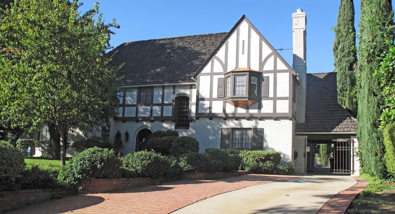
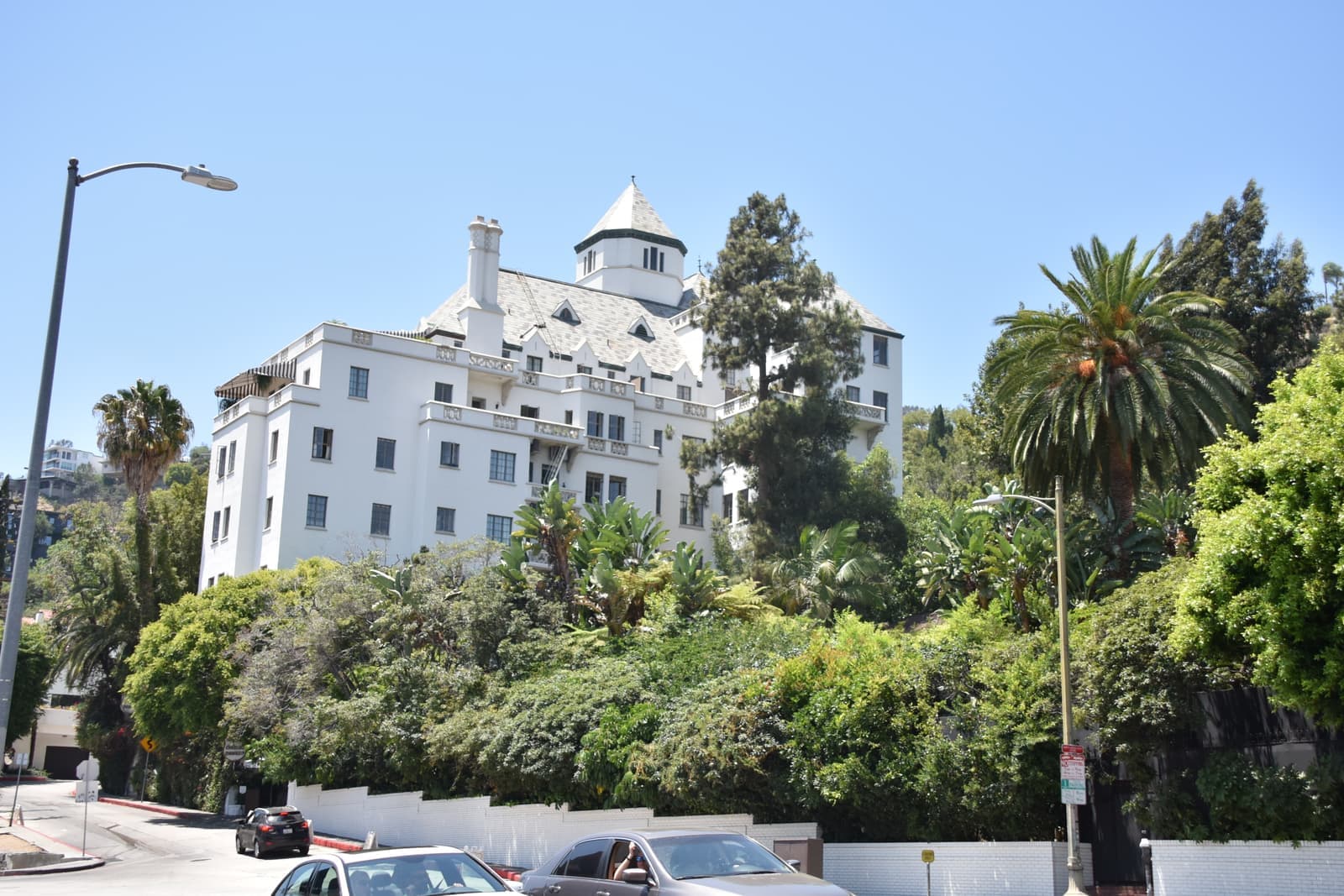
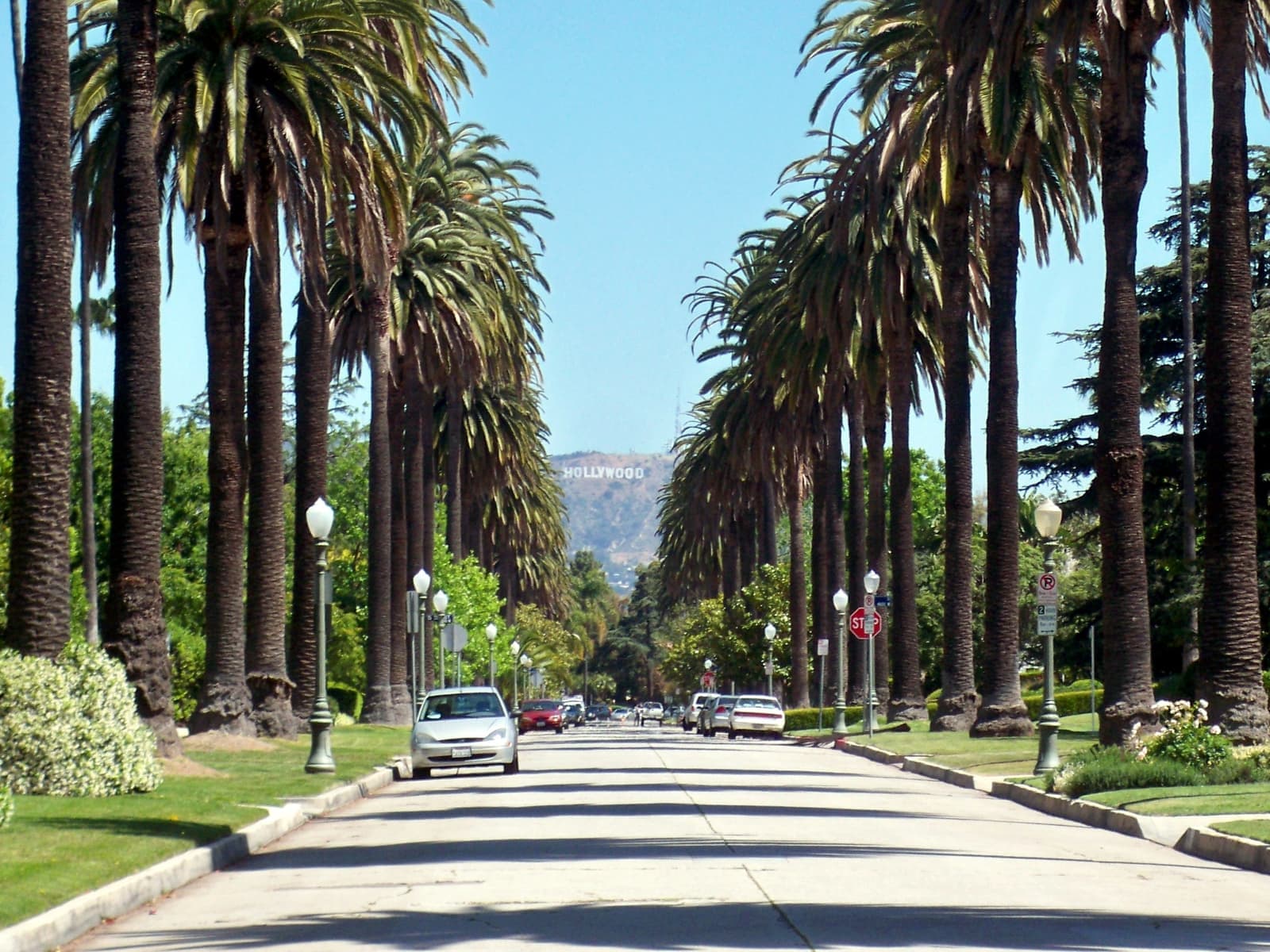
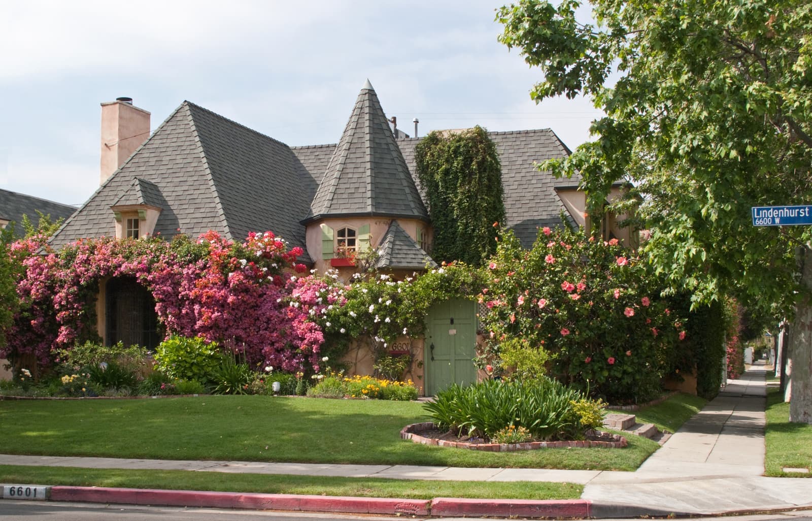
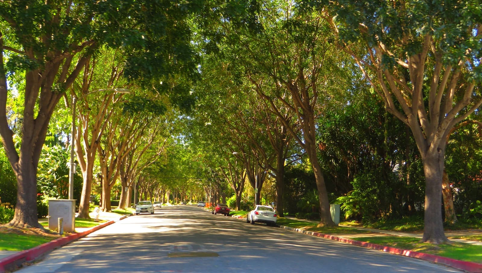
2.4 mi away · West HollywoodWest HollywoodA 1.89-square-mile city since 1984, wedged between Beverly Hills and Hollywood, where buyers mostly find condos and the east side around Plummer Park is Russian-speakingRead the guide ›2.8 mi away · Beverly HillsTrousdale EstatesMidcentury houses on graded hillside pads above Sunset, held to 14 feet so the views stay openRead the guide ›3.4 mi awayHancock ParkThe 1920s neighborhood laid out around the Wilshire Country Club, where Revival houses sit 50 feet back from the street and the HPOZ keeps them that wayRead the guide ›3.5 mi awayBeverly GroveThe flat Los Angeles blocks between the Beverly Hills line and Fairfax Avenue, where most of what sells is a boulevard condo or a 1920s duplexRead the guide ›3.7 mi awayLos FelizThe 1920s hills and flats under Griffith Park, where Frank Lloyd Wright and Richard Neutra built on the slope and the village streets sit belowRead the guide ›4.3 mi away · Beverly HillsThe Beverly Hills FlatsCurving 1906 streets between Santa Monica Boulevard and Sunset, each planted with its own kind of treeRead the guide ›

Where we check the facts
The facts in this guide (districts, zones, rules) come from the official records below. We re-check them before property tours.
- Los Angeles Fire Department: Brush Clearance Requirementslafd.orgVery High Fire Hazard Severity Zone clearance rules
- California Legislature: AB 3074 (2020), ember-resistant zonesleginfo.legislature.ca.govfive-foot ember-resistant zone in Very High zones
- Wikipedia: California FAIR Planen.wikipedia.orgpolicy counts, $3 million cap, coverage limits
- Los Angeles Fire Department: Red Flag Parking Restrictionslafd.orgRed Flag criteria, posted streets, towing
- LAFD alert: Sunset Fire evacuation order, January 8, 2025lafd.orgfire origin and evacuation boundaries
- CAL FIRE Fire Hazard Severity Zones (LRA 2025), LAFD map servicefiregis.lafd.orgfire hazard zone by parcel
Show all 10 sourcesShow fewer
- City of Los Angeles Ordinance 181,624 (Baseline Hillside Ordinance)cityclerk.lacity.orghillside floor area, height, grading, and hauling limits
- Los Angeles City Planning: Mulholland Scenic Parkway Specific Planplanning.lacity.govInner Corridor and design review along Mulholland
- Los Angeles Unified School Districtlausd.orgschool assignments and attendance boundaries
- FEMA Flood Map Service Centermsc.fema.govflood zones by address
Photo credits (8)
- Sunset light on Mount Lee and the Hollywood Sign, seen from Mulholland DriveGabe Shore, CC BY 2.0
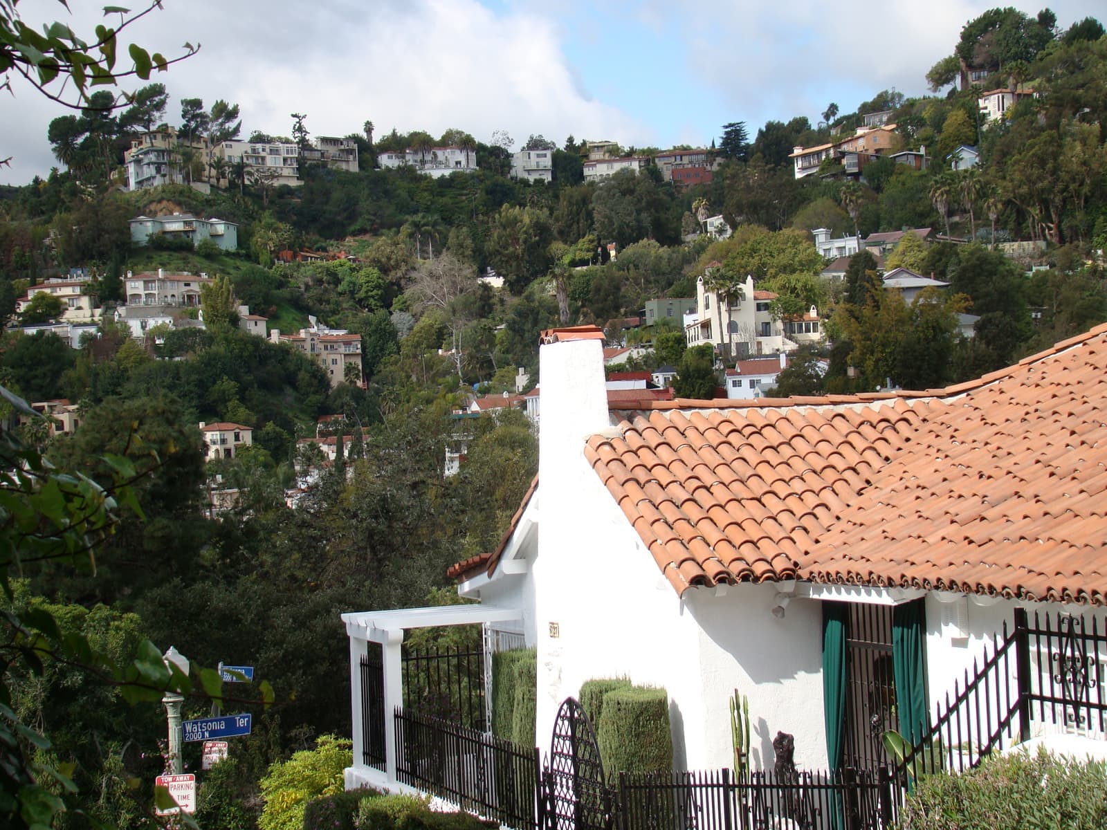
- A white Spanish cottage below the hillside homes of Whitley Heightsvmiramontes, CC BY 2.0
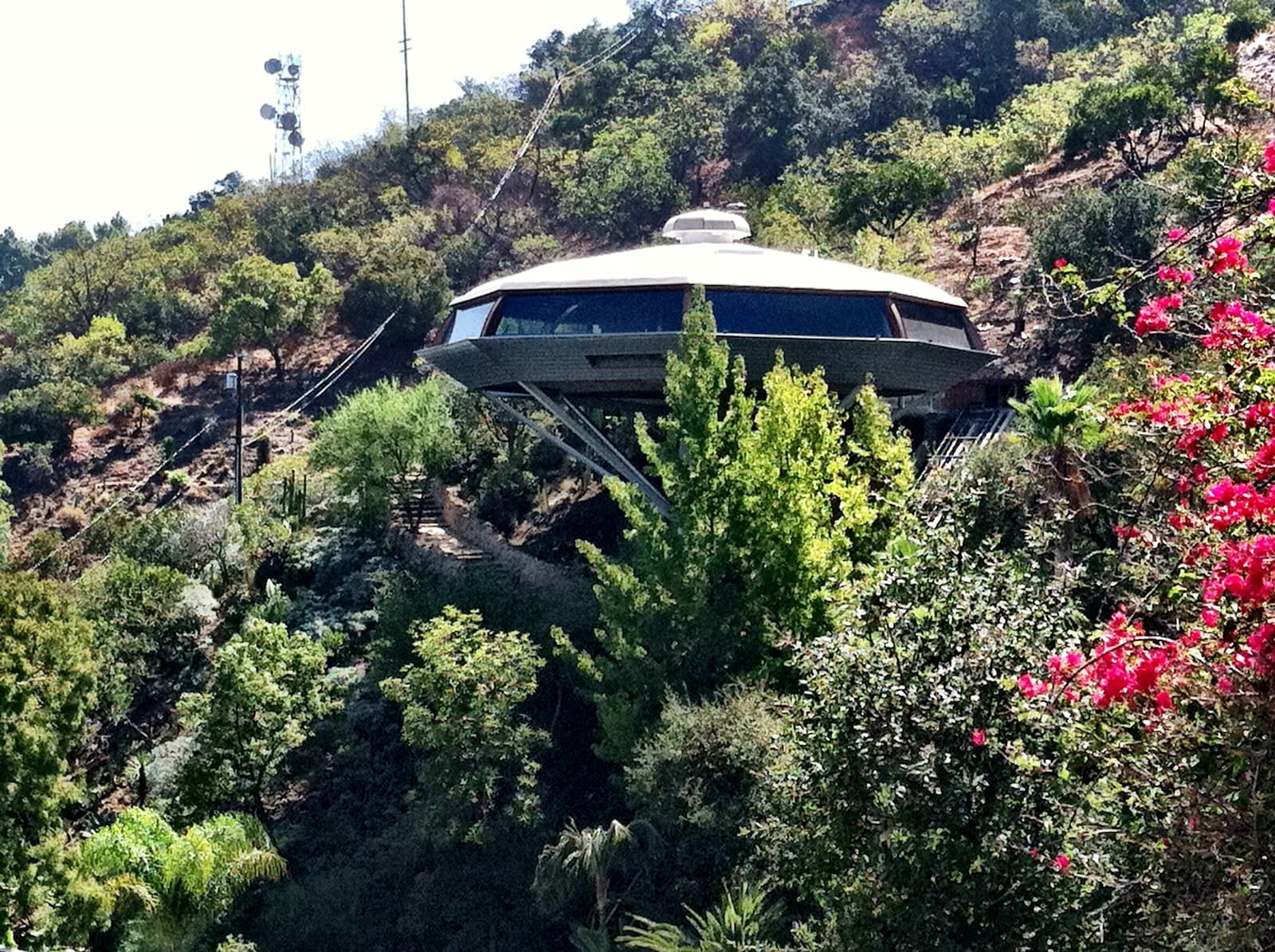
- John Lautner's 1960 Chemosphere, perched on one column above Torreyson Driveevdropkick, CC BY 2.0
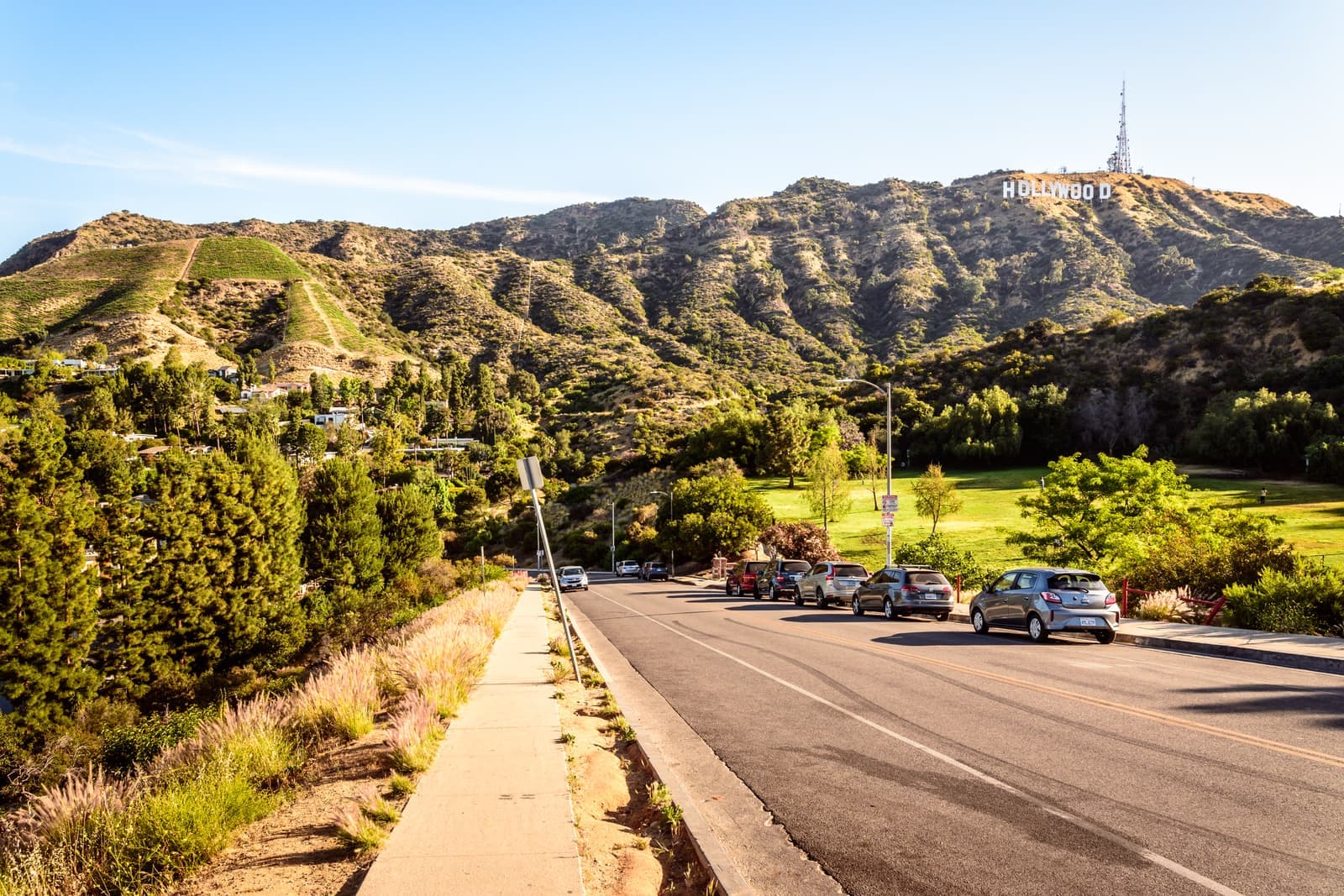
- Late sun on a hillside road by Lake Hollywood Park, with the Sign abovedconvertini, CC BY-SA 2.0
- Late afternoon on the palm-lined trail in Runyon CanyonJulien Barrier, CC BY-SA 2.0
- Arched windows and a cactus garden behind a stucco wall in Whitley Heightsvmiramontes, CC BY 2.0
- Tile roofs and stucco houses stacked up the hillside in Whitley Heightsvmiramontes, CC BY 2.0
- The Hollywood Bowl, about a mile up Highland Avenue from the Metro stationMatthew Field, CC BY-SA 2.5