





Portuguese Bend asks 32% more than Rancho Palos Verdes as a whole.
Rancho Palos Verdes, California · Neighborhood guide
Portuguese Bend
Rancho Palos Verdes' wild south coast, on land that won't hold still
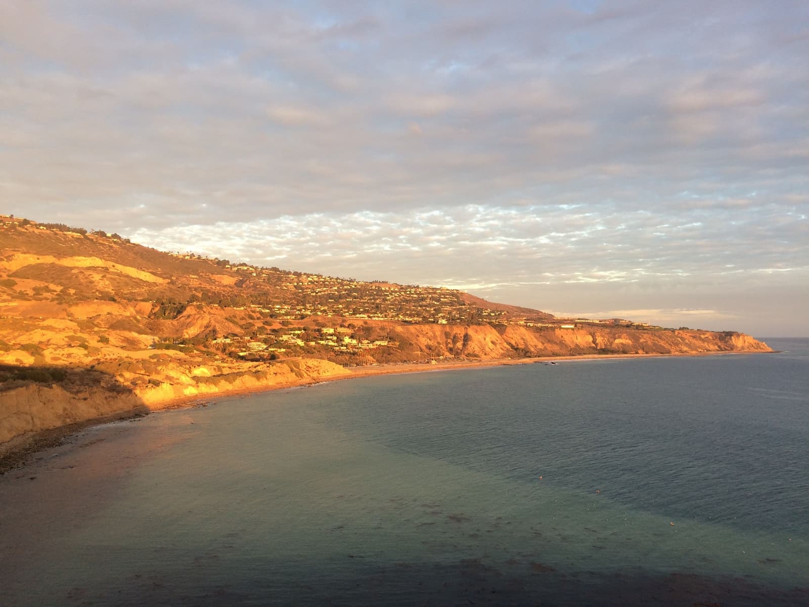
Median askingPortuguese Bend$2.9M3 for sale
See homesPortuguese Bend, in short.
Portuguese Bend is the rural south coast of Rancho Palos Verdes along Palos Verdes Drive South, just east of Abalone Cove: open hillside, horse trails, the gated Portuguese Bend community and Beach Club, and the coves around Portuguese Point. It sits on one of the largest continuously active landslides in the U.S., reactivated in 1956. After the 2023 rains, parts of it moved about a foot a week in fall 2024; by the city's August 2026 survey the average was 0.99 inches a week. About 140 homes in the gated community have been off the gas and power grids since 2024. As of September 2026, two homes were listed, asking about $2.9M and $3.5M.
Portuguese Bend by the numbers.
- 4,953Population
- 89%Homeowner-occupiedoccupied homes
- 74%Bachelor's degree or higherage 25+
- $175,972Median household income
- 53Median age
- 1956Slide reactivatedAfter the county extended Crenshaw Blvd
Sources: U.S. Census Bureau, ACS 5-year 2019–2023; neighborhood facts compiled by The Slava House.
The rural south coast of Rancho Palos Verdes
Named for 1800s whalers, and still half ranch country.
Portuguese Bend is the open sweep of Rancho Palos Verdes' south coast along Palos Verdes Drive South, from Abalone Cove east toward the Trump National golf course. The name comes from Azorean whalers who ran a shore station here on and off from the 1860s to the 1880s, chasing gray whales in small boats; the last known hunts were in early 1885. The station site is California Historical Landmark No. 381, at the Portuguese Bend Beach Club.
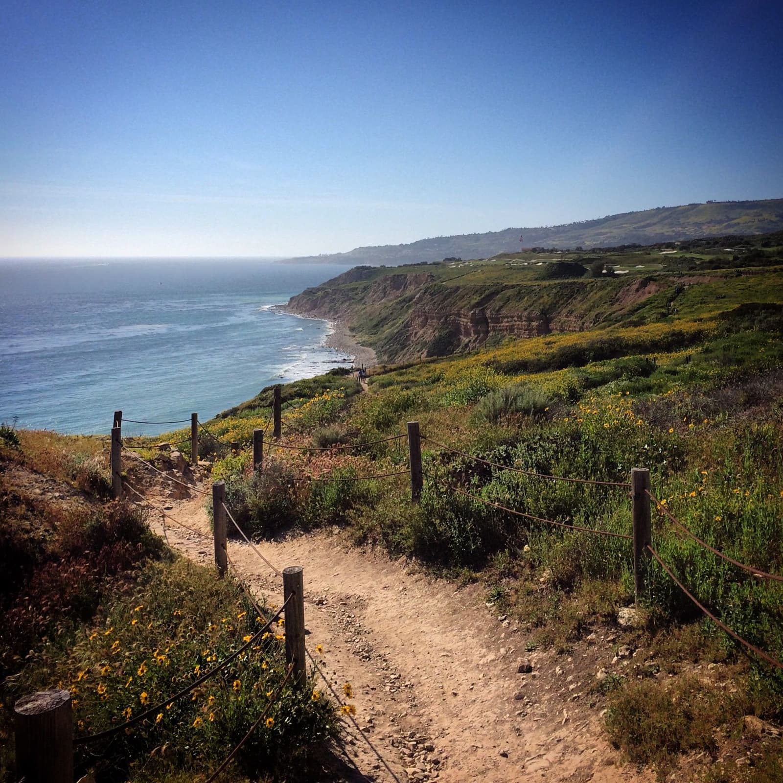
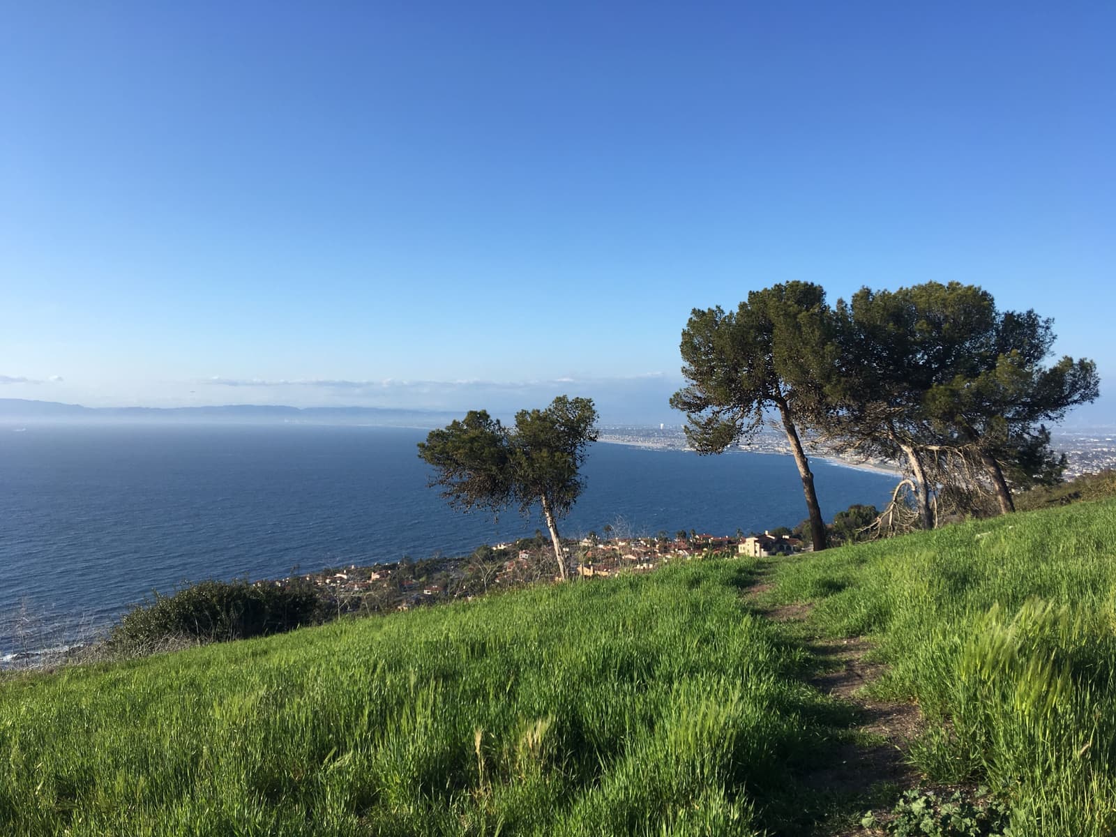
Most of what you see from the road is open land. The roughly 1,500-acre Palos Verdes Nature Preserve covers much of the Peninsula's hillside, and its biggest unit, the 424-acre Portuguese Bend Reserve, climbs from the coast road toward Del Cerro Park at the top of Crenshaw. There are no commercial strips and hardly a sidewalk, just coastal sage, eucalyptus and pepper trees, dirt trails, and rocky coves below the bluffs.
The people who live here chose rural life on purpose. The gated Portuguese Bend Community Association sits behind the Narcissa and Peppertree gates on private roads, the Portuguese Bend Beach Club has its own gate down on the sand, and the riding club keeps a real horse culture going.
Then there's the ground. The Bend sits on part of an ancient landslide complex, and what that ground has done since 1956, and most of all since 2023, is the first thing I go over with anyone thinking about living here.

Live from the MLS
Portuguese Bend compared with all of Rancho Palos Verdes.
A square foot in Portuguese Bend costs 43% more than across Rancho Palos Verdes.
Portuguese Bend$1,125
All of Rancho Palos Verdes$787
Listings in Portuguese Bend have been on the market 109 days longer than across Rancho Palos Verdes.
Homes for sale in Portuguese Bend are 8% smaller than across Rancho Palos Verdes.
Portuguese Bend2,291 sq ft
All of Rancho Palos Verdes2,499 sq ft
Each card sets the median in Portuguese Bend against all of Rancho Palos Verdes. The arrow on a card lists every Rancho Palos Verdes neighborhood we cover. Asking prices for homes on the market right now inside each mapped area, not sale prices. Updated October 17, 2026, 10:00 AM PT
Homes for sale in Portuguese Bend
3 active listings in the mapped area

Still deciding? Ask me.
I’m a Realtor based in Long Beach, and Rancho Palos Verdes is one of the cities I work most. Tell me what you’re after in Portuguese Bend and I’ll help you get there.
Slava Ploshkin · DRE #02323623English and Russian · How I work in Rancho Palos Verdes
Where to eat, shop, and explore in Portuguese Bend
The restaurants, cafes, shops, parks, and landmarks that give Portuguese Bend its everyday character, most within a short walk.
3 places
Pick one and I’ll show you where it is.
Beach20 min walk
The 109-acre shoreline reserve on the Portuguese Bend coast, inside a State Marine Conservation Area. The bluff-top park and lot are open; Abalone Cove Beach, Sacred Cove Beach and all beach-access trails have been closed since July 9, 2024 because of land movement.
The first 30 minutes of parking are free. Check the city's page for the beach and trail status before you plan a tidepool day.
Recreation15 min walk
The stables on Narcissa Drive at the center of the Bend's horse life, older than the city around it. The club turns up in Roman Polanski's 1974 film Chinatown.
Restaurant20 min walk
A 25-acre private estate above Palos Verdes Drive South with vineyard rows and the island it's named for on the horizon. It stopped booking events in late 2024 and has no public access.
The landslide since 1956
From 1956 to the 2024 peak, and where it stands in September 2026.
Modern movement started in September 1956, after Los Angeles County extended Crenshaw Boulevard south of Crest Road over the top of the old slide. By the next spring the land had moved about 22 feet, and homes were cracking and creeping toward the sea. Lawsuits against the county followed, and the Bend settled into decades of slow creep: houses on adjustable foundations, utilities run above ground so they could flex, and, from 1978, a city moratorium on new building in the slide area.
The wet winters of 2023 and 2024 changed the pace. By fall 2024 parts of the slide were moving about a foot a week, buckling Palos Verdes Drive South and pulling apart water, gas and sewer lines. SoCalGas shut off gas to 135 homes in the Portuguese Bend Community Association on July 29, 2024. Southern California Edison cut power to about 140 homes there on September 1, and to 105 homes in Seaview the next day. Governor Newsom declared a state of emergency on September 3, 2024, and the city's own local emergency, declared in October 2023, is still in effect.
The city then drilled deep dewatering wells at the toe of the slide in fall 2024, and they've pumped out more than half a billion gallons of groundwater since. In the city's early-August 2026 survey, the moving parts of the slide averaged 0.99 inches a week, the first reading under an inch since October 2023. Portuguese Bend itself was at 0.81 inches a week, down 92% from just before the deep wells went in, and Klondike Canyon showed no measurable movement. Power is back in Seaview and the Beach Club, and gas returned to Seaview in 2025, but the gated Portuguese Bend community still runs on solar, generators and propane. Edison has said movement near its lines has to stay under an inch a week before it will consider turning the power back on, and the city was meeting with Edison about it in September 2026.
The long-term fix is expensive. The city puts a full remediation program at about $150 million, and FEMA's April 2025 cancellation of its BRIC grant program put in doubt the $23.3 million the city was awarded in 2023 for the first phase. California and other states sued over that cancellation.
Two rules now shape ownership. The voluntary buyout, announced October 28, 2024 with $42 million from FEMA through Cal OES, pays eligible owners 75% of their home's pre-disaster value, and the land becomes permanent open space. The city took 85 applications and picked 22 homes in round one and 5 in round two, but as of its July 2026 update it was still waiting on formal FEMA grant awards, so no purchase had closed. And on August 19, 2025 the city council permanently banned new homes and additions in the landslide area, effective September 18, 2025; owners can still repair, restore or replace what's there within the existing footprint.
For a buyer this cuts both ways. Inside the mapped slide you're buying open-ended geology, no conventional financing, and a house you can't add onto. Outside it, including much of the south coast around the Bend, the ground has behaved for decades. Which side of the line a property sits on is knowable before you write an offer, from the city's landslide maps, its movement surveys, and a geologist's report on the lot.

- Reactivated in 1956 by county road work; slow creep for decades after
- About a foot a week at the fall 2024 peak; 0.99 inches a week by August 2026
- Seaview and the Beach Club have power again; the gated community is still off-grid
- 27 homes picked for FEMA buyouts, none closed as of July 2026; no new homes or additions since September 2025
What happened to Wayfarers Chapel
A glass chapel in the redwoods, taken apart to save it.
For seventy years the Bend's best-known building was Wayfarers Chapel, the glass-and-redwood Swedenborgian chapel that Lloyd Wright, Frank Lloyd Wright's son, completed above the coast in 1951. The walls were glass, so the redwoods outside did the work of walls. Generations of Angelenos got married there, and it was named a National Historic Landmark in December 2023.
The same ground that broke the road reached the chapel within weeks. Cracked glass and a shifting foundation closed it in February 2024, and that summer crews documented it piece by piece and took it apart, storing the glass, redwood and stone for a rebuild on stable ground.
The chapel has picked its new site: the old Battery Barnes military land next to Rancho Palos Verdes City Hall, on the hilltop above Point Vicente, about a mile west of the original. The land is federal, and Rep. Ted Lieu has introduced a bill to transfer it to the city for the rebuild, which is estimated at $20 million to $30 million. As of September 2026 there's no reopening date, and Sunday services meet at St. Francis Episcopal Church in Palos Verdes Estates.
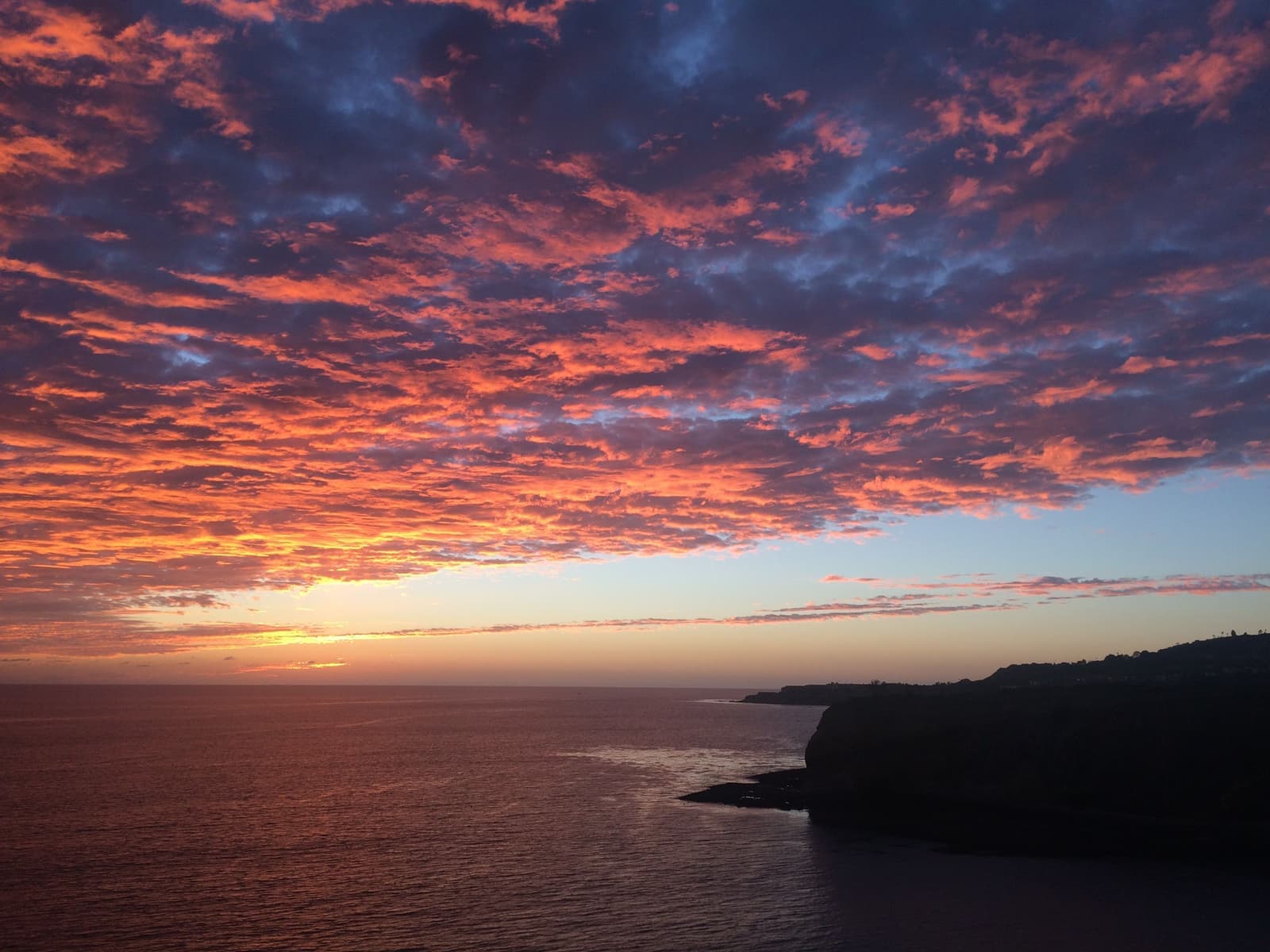
- Lloyd Wright's glass chapel, completed 1951, National Historic Landmark December 2023
- Closed February 2024; taken apart and stored that summer
- Proposed new site at Battery Barnes by City Hall; land transfer and fundraising still pending
The coves and the nature preserve above them
Abalone Cove and Portuguese Point have tidepools and sea caves, but the beaches are closed for now.
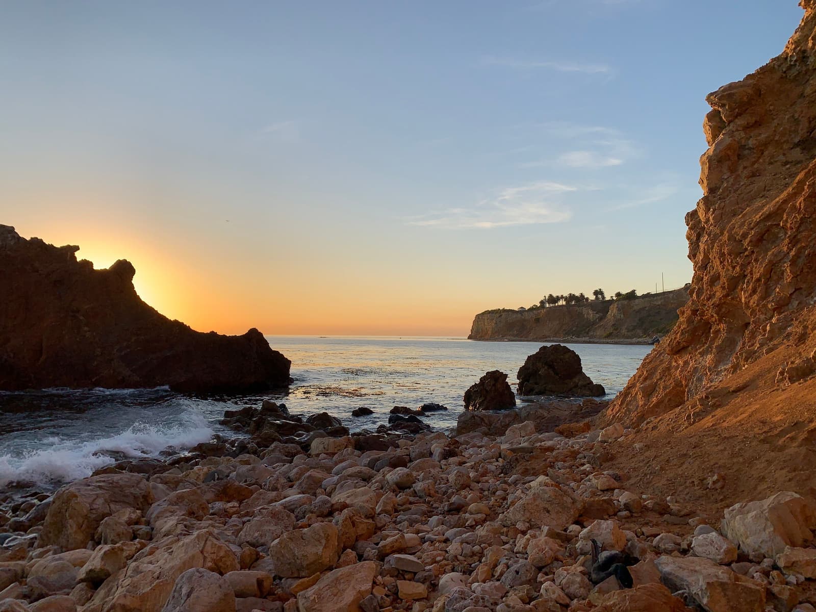
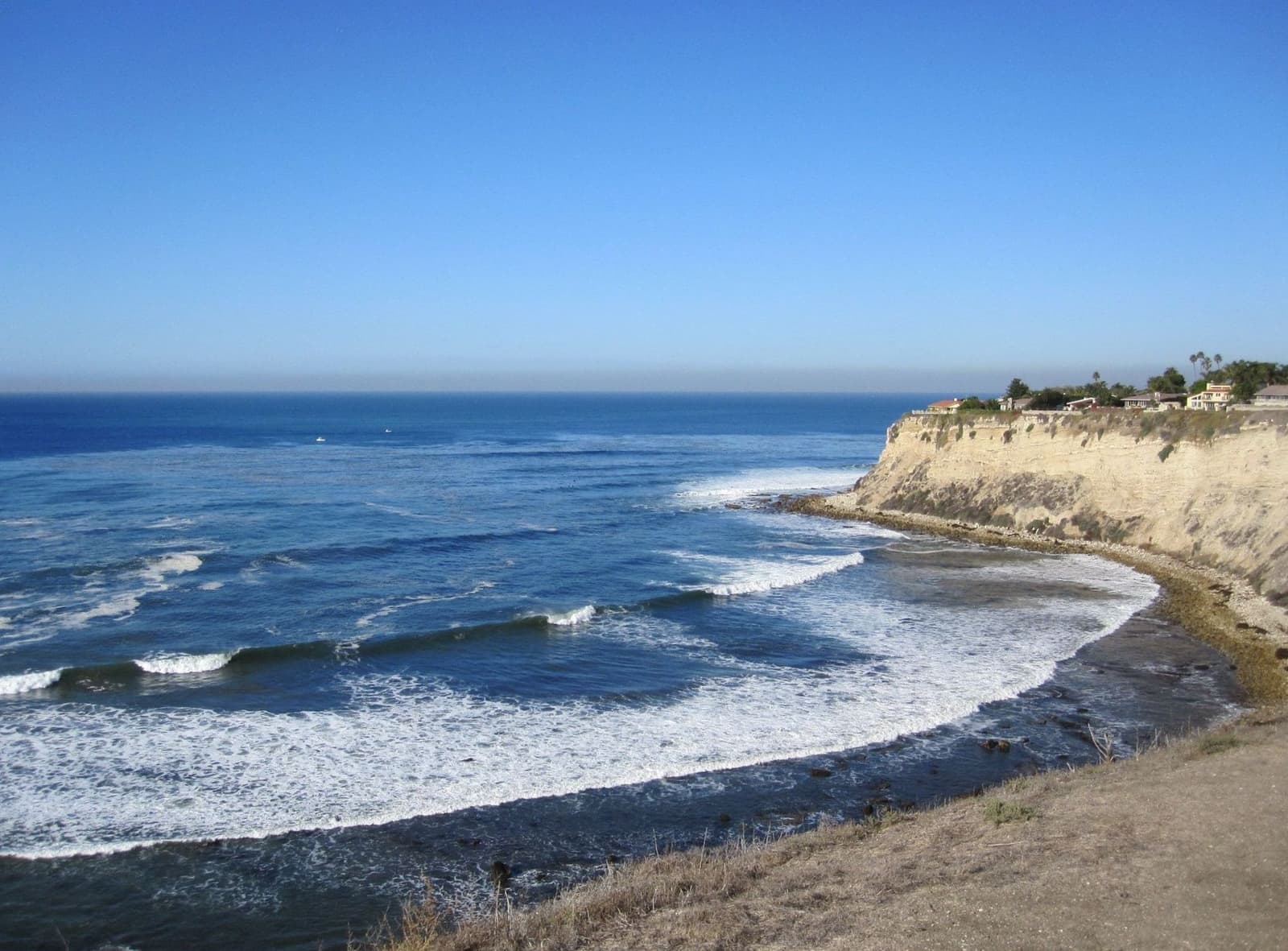
The city's Abalone Cove Reserve covers 109 acres of bluff, beach and tidepools inside a State Marine Conservation Area. Portuguese Point, the small headland just east of Abalone Cove, and Inspiration Point beyond it frame Sacred Cove, with its tidepools and sea caves. On a minus tide with Catalina sharp on the horizon, it's hard to believe you're inside a city.
Here's what's open right now. The city closed Abalone Cove Beach, Sacred Cove Beach and every beach-access trail in the reserve on July 9, 2024 because of land movement, and they were still closed in September 2026. The bluff-top park and its parking lot are open. About 8 miles of preserve trails in the Portuguese Bend, Abalone Cove, Filiorum and Forrestal reserves are closed too, so check the city's trail page before a hike or a ride.
Above the water, the Portuguese Bend Reserve's trails climb toward Del Cerro Park, shared by hikers, mountain bikers and riders. The moving ground is exactly why this land never filled with houses, and the preserve makes that permanent.
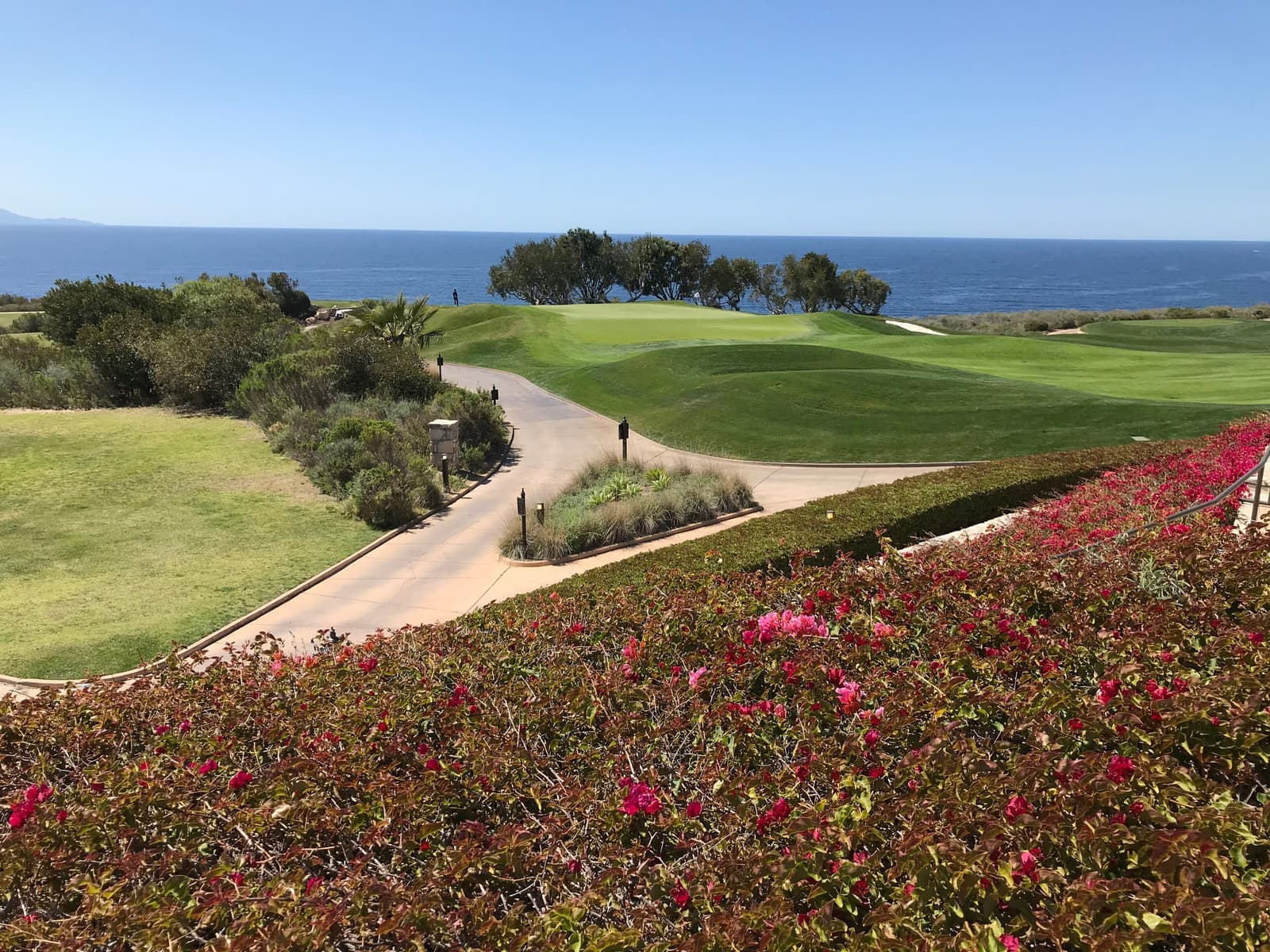
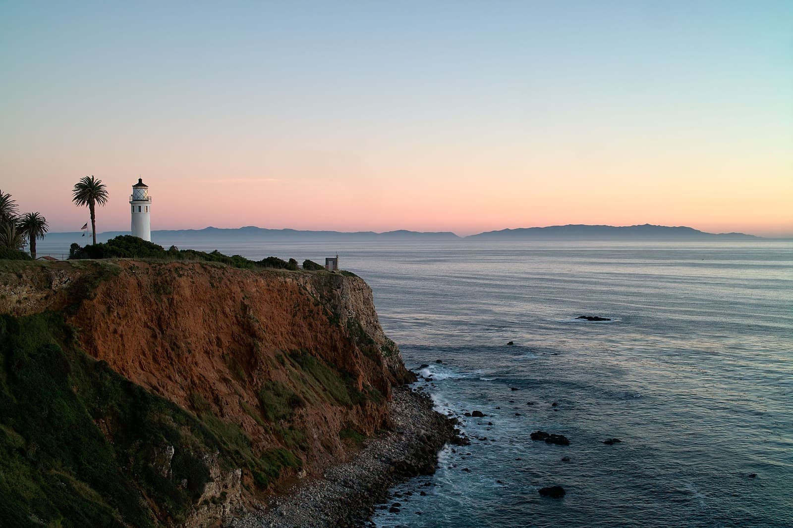
West along Palos Verdes Drive South the coast gets tamer: Pelican Cove's tidepools, the whale-watching lawns and 1926 lighthouse at Point Vicente, and Terranea's 102 oceanfront acres on the site where Marineland of the Pacific ran from 1954 to 1987. East, the bluff trails of Ocean Trails Reserve pass the golf course, whose 18th hole slid toward the sea in June 1999 and was rebuilt, on the way to San Pedro.
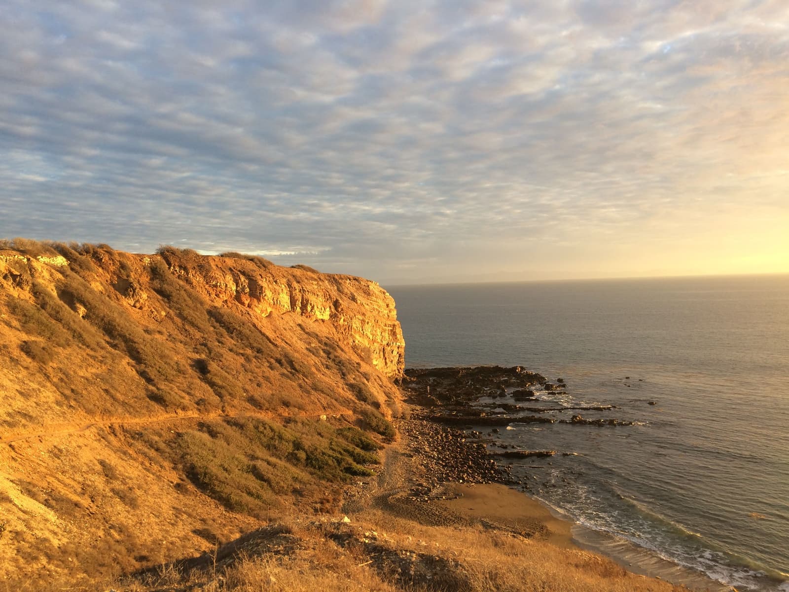
- Abalone Cove and Sacred Cove beaches closed since July 2024; the bluff-top park is open
- Portuguese Point and Inspiration Point frame Sacred Cove
- Terranea, Point Vicente and Ocean Trails bracket the Bend west and east
Living out here day to day
Golden Cove for groceries, and a drive for everything else.
It's rural out here. You see horses on the morning trails, coyotes, and peacocks in the driveways, and at night it gets properly dark. The Peninsula's peacocks trace back to birds given to Frank Vanderlip in the 1920s, and the first flock lived at the Vanderlip estate right here in Portuguese Bend. Neighbors love them and curse them in about equal measure.
Errands mean a drive. Golden Cove, at Hawthorne and Palos Verdes Drive West, has a Trader Joe's, a pharmacy and coffee. Terranea is the nice dinner out, and anything bigger is over the hill or down in San Pedro. Palos Verdes Drive South carries about 16,000 trips a day across the slide, the city spends around $1 million a year resurfacing it, and a 2-mile stretch has been closed to bicycles and motorcycles under a temporary order. Expect patches, dips and the occasional lane closure.
Schools are in the Palos Verdes Peninsula Unified School District, one of the Peninsula's big draws. Boundaries change, so ask the district which schools the house is assigned to, and plan on driving the kids there.

- Daily life here is rural, peacocks included
- Golden Cove for errands, Terranea for occasions; PV Drive South is patched often
- PVPUSD schools; verify assignments per address with the district
How land that moves gets priced
Two markets share one name, and the line between them is geological.
Portuguese Bend is really two markets. Inside the mapped slide, homes trade on land value and nerve: cash buyers, no insurance for land movement, the gated community off-grid since 2024, and no additions allowed since September 2025. Twenty-seven homes are in the buyout pipeline, and some owners wouldn't leave at any price.
On the stable edges and the rest of the south coast it's a different trade: the same trails, coves and views on ground that's behaved for decades, with normal financing, though fire insurance still takes work because nearly every home here is in a Very High fire zone. In my experience the Bend's name keeps some buyers away from those streets entirely, which is where an eyes-open buyer can find value.
As of September 2026, our map area had two single-family homes for sale, asking about $2.9 million and $3.5 million. With two listings there's no real median to speak of. For each one, ask where exactly the lot sits and what that ground has done.

- Inside the slide: land value, cash, off-grid, no additions
- Stable edges: the same scenery, financeable and insurable
- Underwrite geology first: maps, movement data, site report, insurance, lender
Three questions for any Bend listing
What has to be answered, in writing, before an offer means anything.
Start with where the lot sits. Have it located precisely against the city's current landslide boundary, which the 2025 ordinance expanded to seven more Seaview lots and one more in the Beach Club, and check the latest movement survey. Then commission a geologist's report on the specific lot. In this neighborhood that report is the purchase decision.
Next, the house itself. Find out which utilities the exact address has, since the gated community has run on solar, generators and trucked propane since 2024. Ask what foundation system the house has, when it was last leveled, and what that has cost per year. And ask the city what you'd be allowed to build: inside the landslide area you can repair or replace within the existing footprint, and that's it.
Money comes last. Standard homeowners policies exclude earth movement, and in August 2026 the city council was only starting to look at a landslide insurance pool. Inside the slide, expect cash and no coverage for movement. Stable-edge streets generally finance normally, but get real insurance quotes and a lender's letter during your contingency period. Price in fire as well: on CAL FIRE's 2025 map, which the city adopted without changes, nearly every home in our Portuguese Bend map is in a Very High Fire Hazard Severity Zone, and that goes on the natural hazard disclosure. If the calendar allows, walk a hillside lot after rain with your inspector; water drives everything on this land.
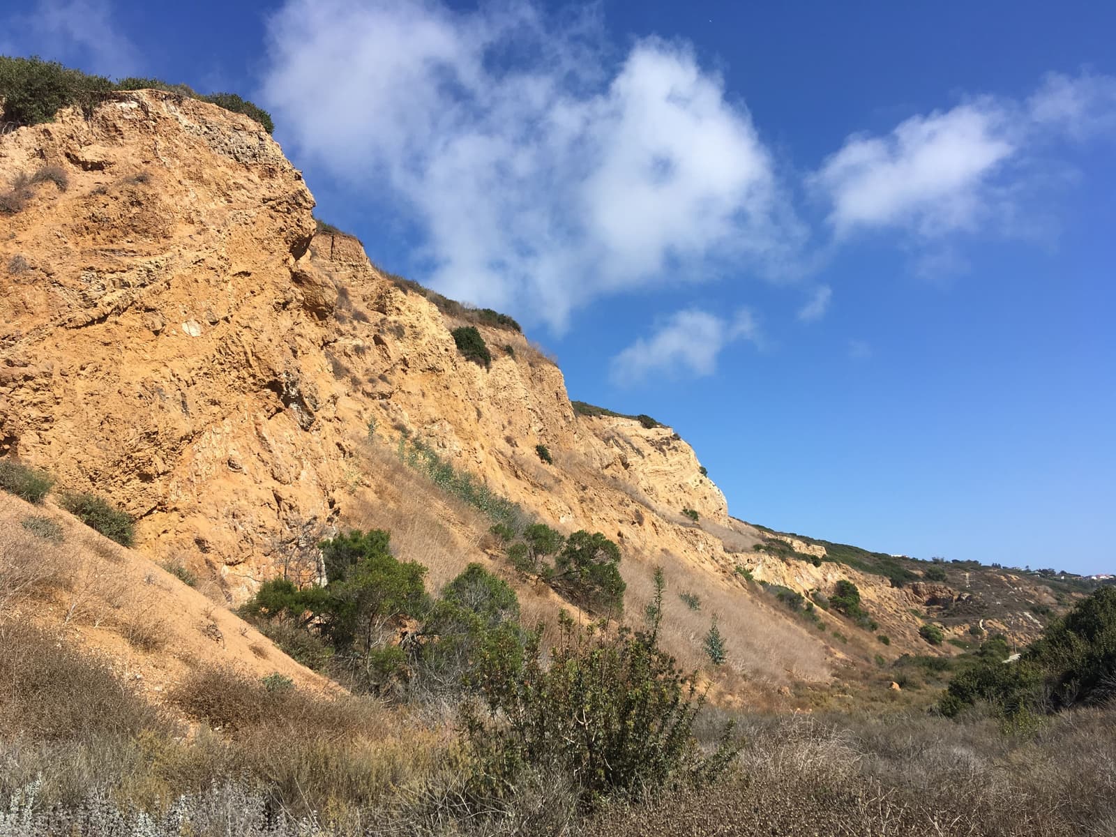
- Locate the lot on the city's landslide maps and get a site-specific geology report
- Confirm utilities, the foundation system and its leveling history, and what the city lets you build
- Get insurance quotes and lender confirmation in writing during diligence
More Portuguese Bend facts
- ~1 ft/weekPeak speedParts of the slide, fall 2024
- 0.99 in/weekSpeed nowAverage of moving areas, city survey Aug 2026
- ~140 homesOff the gridGated Portuguese Bend community, since 2024
- 27Buyout homesSelected in rounds 1-2; none closed as of July 2026
- BannedNew homesAlso additions, in the slide area since Sept 2025




Questions & answers
Yes, but far more slowly than at its 2024 peak. In the city's early-August 2026 survey, the moving parts of the slide averaged 0.99 inches a week, the first reading under an inch since October 2023, and Portuguese Bend itself was at 0.81 inches a week, down 92% since deep dewatering wells went in during fall 2024. At the peak in fall 2024, parts of the slide moved about a foot a week. The slide reactivated in 1956, when county road work on Crenshaw Boulevard disturbed an ancient landslide, and it has never fully stopped.
Explore near Portuguese Bend
1.6 mi awaySeaview & Ocean TrailsCatalina-view streets next to a clifftop golf course whose coast anyone can walkRead the guide ›2.3 mi awayPoint VicenteThe lighthouse corner of the Peninsula, with whales off the bluff and Trader Joe's up the roadRead the guide ›2.6 mi awayMiralesteThe Peninsula's 1920s east slope, under old pines, with the harbor lit up belowRead the guide ›3.6 mi away · Palos Verdes EstatesLunada BayMidcentury view streets on 150-foot bluffs above the Peninsula's best-known winter waveRead the guide ›3.7 mi away · Palos Verdes EstatesMontemalagaBig midcentury lots 800 to 1,000 feet up the Palos Verdes Estates hillside, with the Queen's Necklace below at nightRead the guide ›4.1 mi away · TorranceWalteriaSouthwest Torrance's 1950s and 1970s streets under the Palos Verdes hills, with an 1880s name and the airport across the highwayRead the guide ›
Where we check the facts
The facts in this guide (districts, zones, rules) come from the official records below. We re-check them before property tours.
- City of Rancho Palos Verdes: Land Movement Updatesrpvca.govmovement surveys, utilities, emergency status, PV Drive South
- City of Rancho Palos Verdes: Voluntary Property Buyout Programrpvca.govbuyout rounds, funding and status
- City of Rancho Palos Verdes: Portuguese Bend landslide arearpvca.gov2025 ban on new homes and additions, expanded boundary
- City of Rancho Palos Verdes: Abalone Cove Park and Reserverpvca.govreserve size, marine conservation area, parking
- City of Rancho Palos Verdes: Abalone Cove and Sacred Cove closure (July 9, 2024)rpvca.govbeach and trail closure
- City of Rancho Palos Verdes: Palos Verdes Nature Preserverpvca.govpreserve and Portuguese Bend Reserve acreage
Show all 15 sourcesShow fewer
- Office of the Governor: state of emergency, September 3, 2024gov.ca.govstate emergency proclamation
- SoCalGas: Palos Verdes Peninsula land movementsocalgas.comgas shutoffs and restorations
- Random Lengths News: re-energization update (Aug 27, 2026)randomlengthsnews.compower status, $150M remediation estimate, insurance pool
- LAist: why the Portuguese Bend slide started (history explainer)laist.com1956 Crenshaw extension, early movement
- Wayfarers Chapelwayfarerschapel.orgclosure, disassembly, Battery Barnes site, services
- California State Parks: Historical Landmark No. 381parks.ca.govwhaling station site
- Palos Verdes Library District: Portuguese Bend whaling stationpvld.orgwhaling history, 1860s to 1885
- City of Rancho Palos Verdes: Fire Hazard Severity Zone Updatesrpvca.gov2025 map approved with no changes (Ordinance 691), in effect January 1, 2026
- CAL FIRE / OSFM: 2025 LRA Fire Hazard Severity Zones map service (map dated March 24, 2025)utility.arcgis.comzone levels checked against Assessor parcels, September 2026
Photo credits (8)
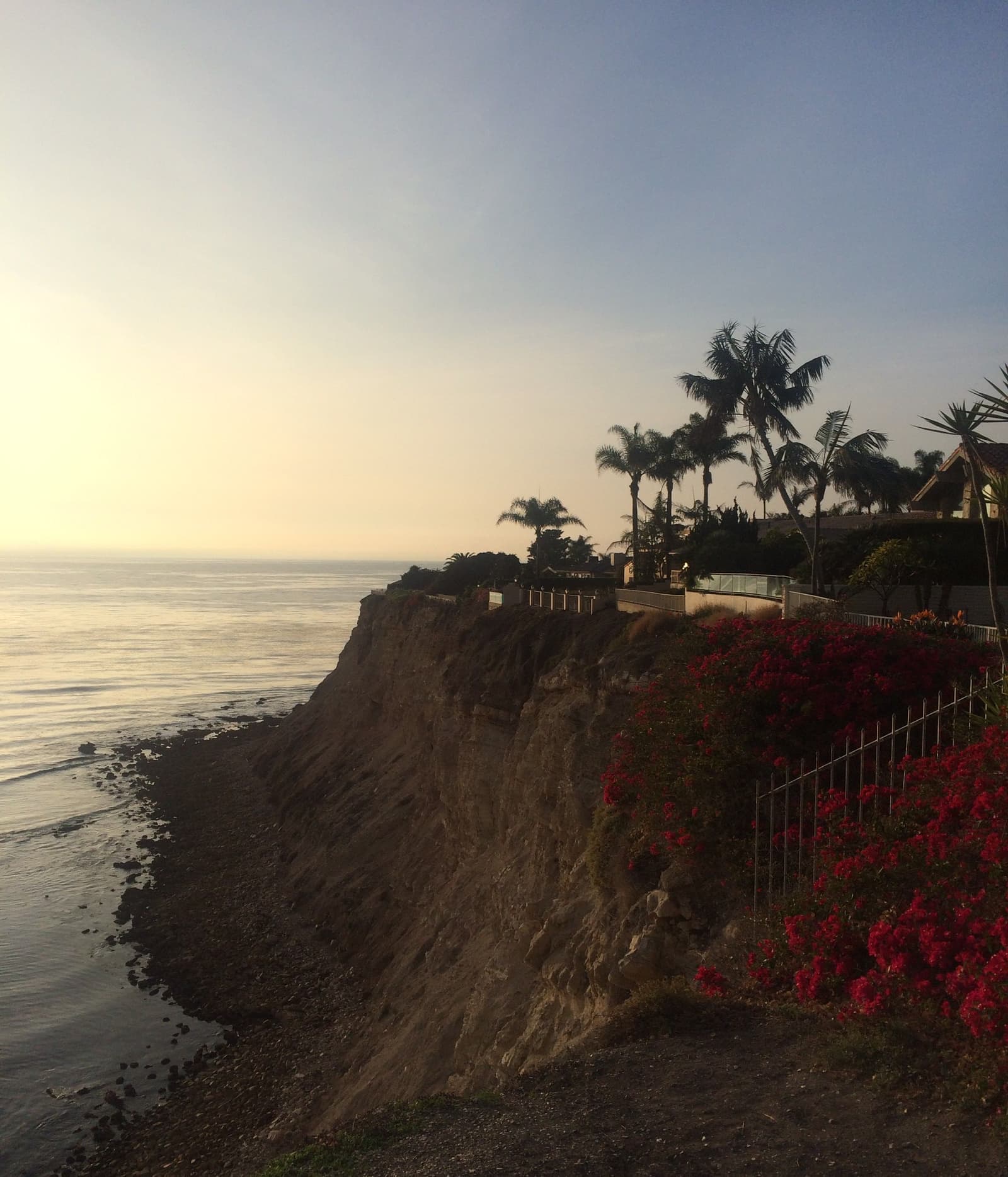
- Late sun on the Portuguese Bend shore and the homes on the hill above itSergei Gussev, CC BY 2.0
- Sunset glow on the broken slide hills and a cove in Portuguese BendSergei Gussev, CC BY 2.0
- Winter surf rolling into Abalone Cove below Portuguese Pointmatt evans, CC BY 2.0
- Sunset clouds over the ocean from Inspiration Point in Portuguese BendSergei Gussev, CC BY 2.0
- Late sun on the cliffs above Sacred Cove in Portuguese BendSergei Gussev, CC BY 2.0
- A dirt trail to a lone pine in the Portuguese Bend Reserve above the neighborhoodSergei Gussev, CC BY 2.0
- A preserve trail in Portuguese Bend above the homes on the south coastSergei Gussev, CC BY 2.0
- An eroded bluff in the nature preserve at the east end of Portuguese BendSergei Gussev, CC BY 2.0