



Verdugo Woodlands asks 27% more than Glendale as a whole.
Verdugo Woodlands$1.65M
All of Glendale$1.3M
The canyon between the Verdugo Mountains and the San Rafael Hills: oak-shaded streets along Cañada Boulevard from Verdugo Park to Oakmont, built from the 1910s to the 1960s
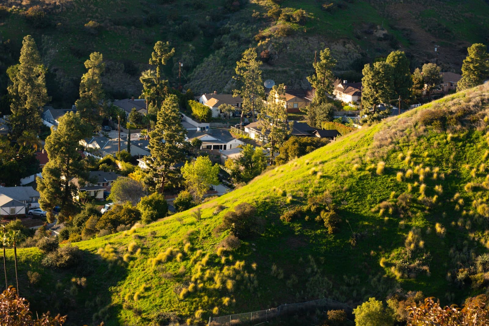
Verdugo Woodlands is the canyon neighborhood in northeast Glendale where Cañada Boulevard and Verdugo Road run up the Verdugo Wash, from Verdugo Park and Glendale Community College up to Oakmont Country Club. Subdivided from 1909 on the Verdugo family's old Rancho San Rafael, it filled in from the 1910s to the mid-1960s with Craftsman, Period Revival, Ranch and Modern houses on sizable lots under oaks and sycamores. As of September 2026 most listed houses asked about $1.65 million to $2.3 million. The canyon has its own Glendale Unified elementary school and the 1820s Catalina Verdugo Adobe. The state's 2025 fire map puts it in the Very High zone.
Sources: U.S. Census Bureau, ACS 5-year 2019–2023; neighborhood facts compiled by The Slava House.
From Verdugo Park to the Oakmont fairways, along the wash between two ranges.
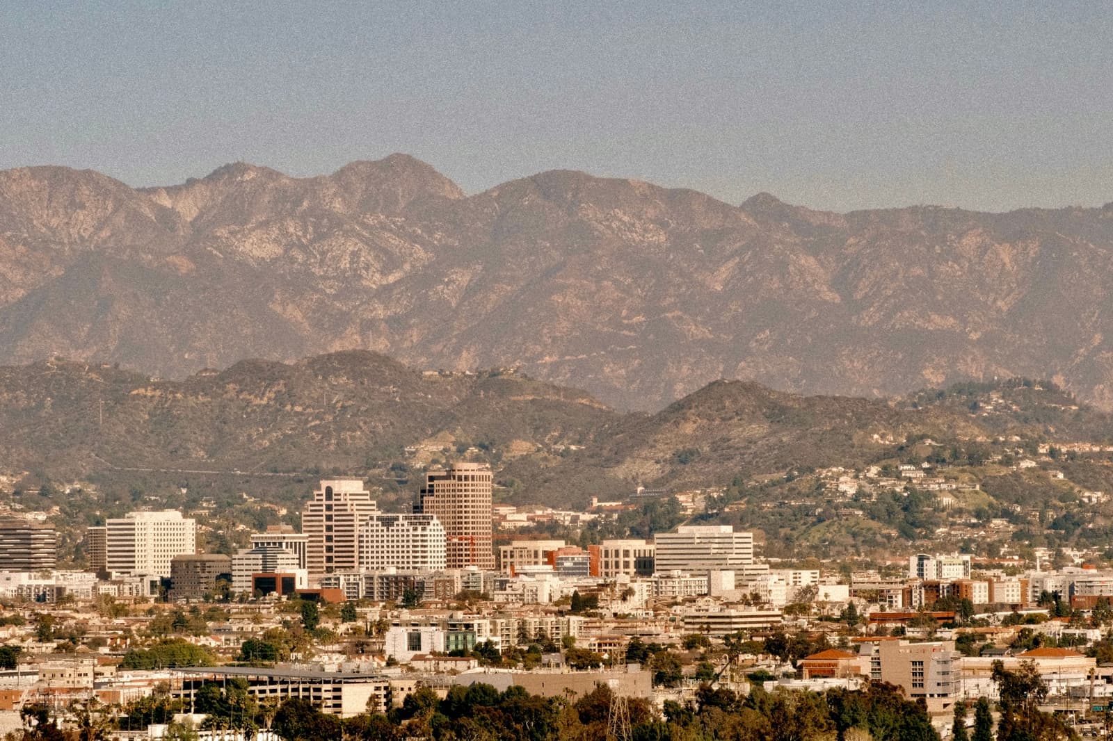
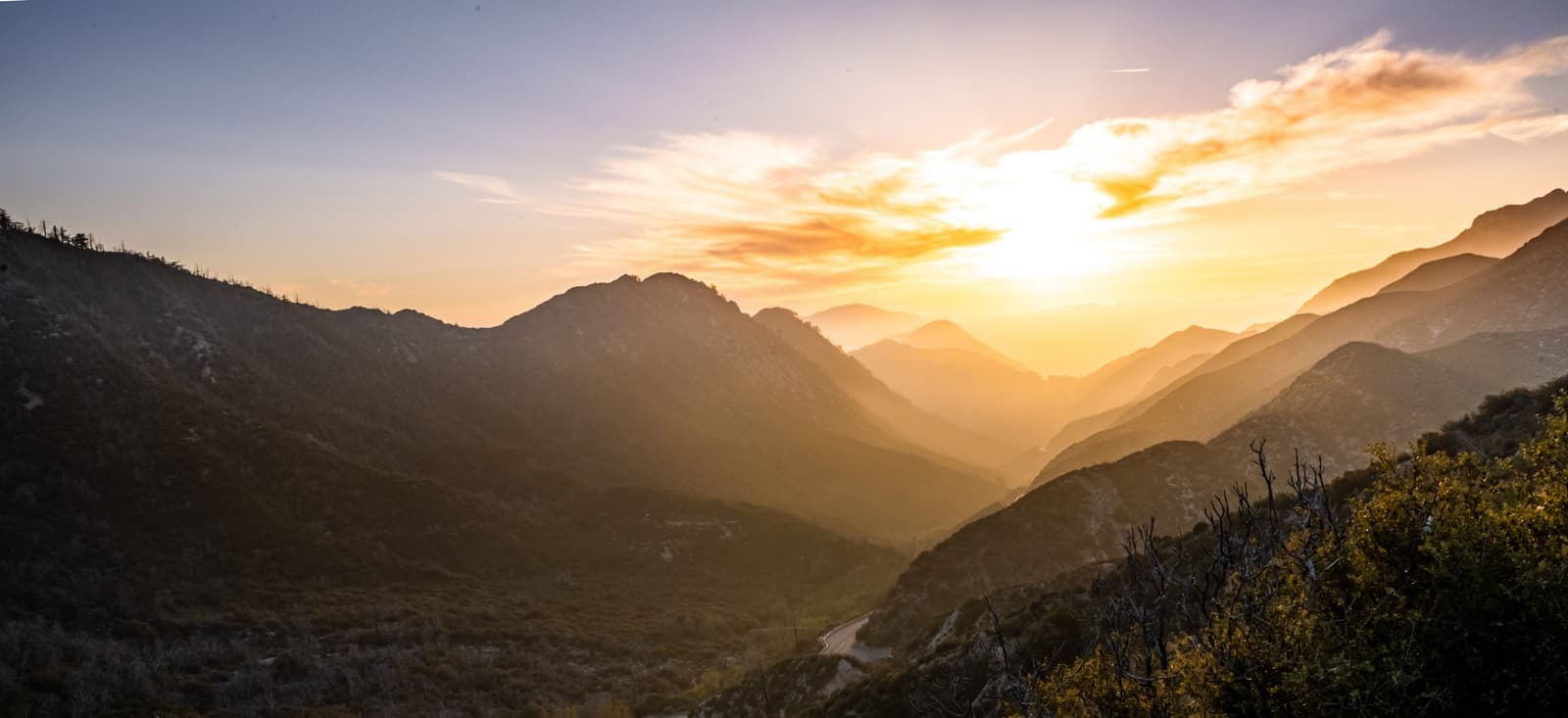
Verdugo Woodlands fills the canyon in northeast Glendale where Cañada Boulevard and Verdugo Road run north up the Verdugo Wash. The Verdugo Mountains rise on the west and the San Rafael Hills on the east. The neighborhood begins where the two roads split in front of Glendale Community College, takes in Verdugo Park, and ends at the Oakmont Country Club fairways.
The name is literal. The city's own survey report notes the number of mature trees on private and public land, including many oaks and sycamores, that dominate the streetscape. Houses went up over five decades, from Craftsman in the 1910s to Ranch and Modern in the 1950s, and the area was largely built out by the mid-1960s. Lots are sizable, and most houses are one or two stories.
History comes with the address. The Catalina Verdugo Adobe and the site of the Oak of Peace sit on Bonita Drive, and the city has one designated historic district, on Niodrara Drive, with a much larger one proposed. So does fire risk. The state's 2025 fire map puts the canyon in the Very High zone, and that brings rules and inspections flat Glendale doesn't have.
Verdugo Woodlands asks 27% more than Glendale as a whole.
A square foot in Verdugo Woodlands costs 6% more than across Glendale.
Listings in Verdugo Woodlands have been on the market 8 fewer days than across Glendale.
65% of the homes for sale in Verdugo Woodlands are single-family houses.
Homes for sale in Verdugo Woodlands are 46% bigger than across Glendale.
Each card sets the median in Verdugo Woodlands against all of Glendale. The arrow on a card lists every Glendale neighborhood we cover. Asking prices for homes on the market right now inside each mapped area, not sale prices. Updated October 4, 2026, 5:00 AM PT
17 active listings in the mapped area
I’m a Long Beach Realtor and I work Glendale too. Tell me what you’re after in Verdugo Woodlands and I’ll help you get there.
Slava Ploshkin · DRE #02323623English and Russian · How I work in Glendale
The restaurants, cafes, shops, parks, and landmarks that give Verdugo Woodlands its everyday character, most within a short walk.
8 places
Pick one and I’ll show you where it is.
Park15 min walk
A 38-acre city regional park at 1621 Cañada Boulevard with picnic grounds, a ball field, basketball courts, a skate park and a community garden. A picnic destination since the 1880s.
Picnic tables are first come, first served, with a permit system for the larger groups.
Landmark5 min walk
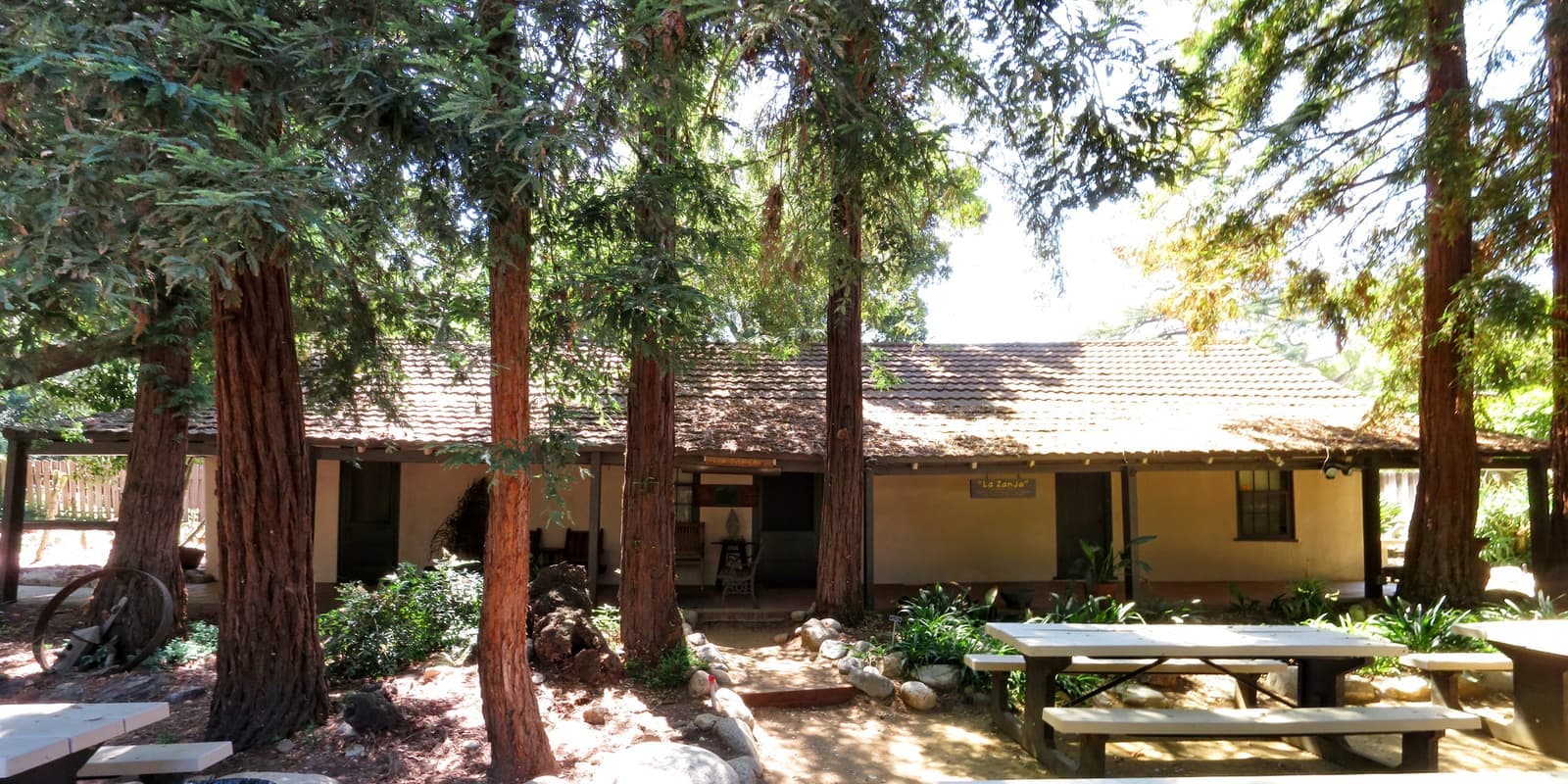
The adobe at 2211 Bonita Drive, most likely built between 1828 and the 1830s, now a city historic park. California Historical Landmark 637 and the first entry on the Glendale Register.
The Oak of Peace stood here; the 1847 talks under it led to the Treaty of Cahuenga.
Landmark5 min walk
Thirty-two houses from 1912 to 1962 along a former stream bed with its bridges, designated a Glendale historic district in 2016.
Landmark10 min walk
The neighborhood's Glendale Unified elementary school on North Verdugo Road, just north of the park.
Landmark20 min walk
The community college founded in 1927 and on this San Rafael Hills campus since 1937, at the point where Cañada Boulevard and Verdugo Road divide.
Park15 min walk
The neighborhood park at 2801 North Verdugo Road in the upper canyon, with a ball field permitted through the city's sports office.
Recreation25 min walk
The private club at the head of the canyon, opened in 1922 with a course by Max Behr. Its fairways are the neighborhood's northern boundary.
Recreation · Nearby25 min walk
A 27-acre city sports park opened in April 1999 in the San Rafael Hills above the canyon. It has turf soccer and baseball fields and the trailhead of the Catalina Verdugo Trail.
The city bought the canyon in 1922, sold it within a year, and didn't get its park until 1944.
The canyon was part of Rancho San Rafael, the 36,403-acre grant Corporal José María Verdugo received provisionally in 1784 and had confirmed in 1798. The 1871 court decision known as the Great Partition dissolved the rancho, and this land went to Teodoro Verdugo and to Catalina Verdugo, the ranchero's daughter. The adobe on Bonita Drive was most likely built between 1828 and the 1830s, though some accounts put it in the 1860s. Under the oak beside it, on January 11, 1847, Californio leaders met an envoy of the American forces before the surrender that became the Treaty of Cahuenga.
By 1887 the canyon bottom was a picnic ground for Los Angeles residents, who came out on an excursion steam train running on tracks down the middle of Glendale Avenue. In 1907 the Forest Grove Land Company planned homes in the upper canyon with fifty acres kept as parkland, but the project failed in a financial downturn. In 1910 Glendale developers paid the Glendale-Eagle Rock trolley a 25,000-dollar bonus to reach the park by the Fourth of July, and the line made it.
The subdivisions came in stages. The Verdugo Canyon Land Company began in 1909, and the F.P. Newport Company took over in 1917; John Pirtle, the Woodlands' initial developer, built his own house in 1912. In 1922 the city bought the picnic ground and many acres of the canyon above it, then sold the land to a developer within a year, and houses began going up in the upper canyon while the picnic ground stayed private. The city finally bought 36 and a half acres for Verdugo Park in 1944 and hired landscape architects Ruth Shellhorn and Ralph Cornell to design it; Shellhorn later worked on Disneyland. Lots were subdivided again after World War II, and the last open sites filled in the 1950s and 1960s.
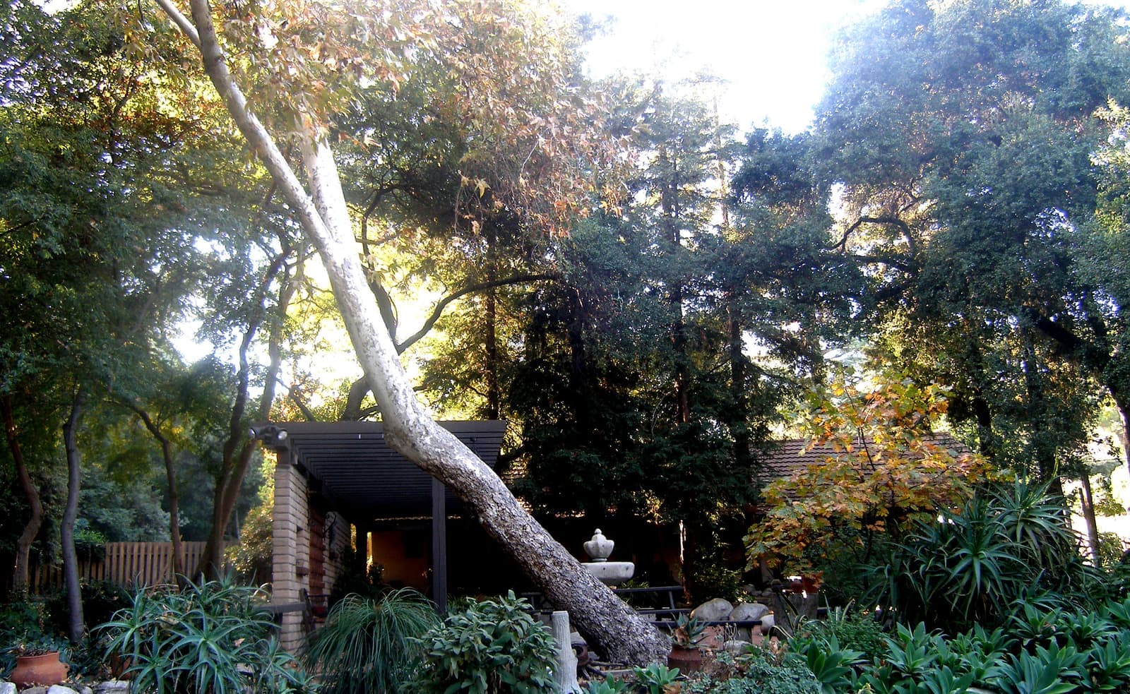
A 1910s Craftsman can sit next to a 1950s Ranch here, and the lots are sizable.
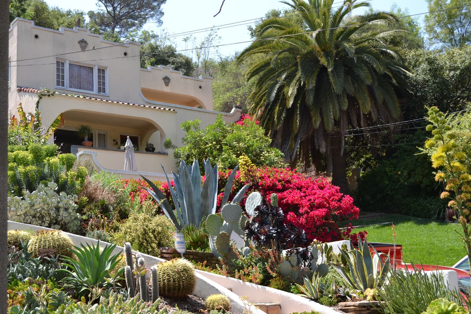
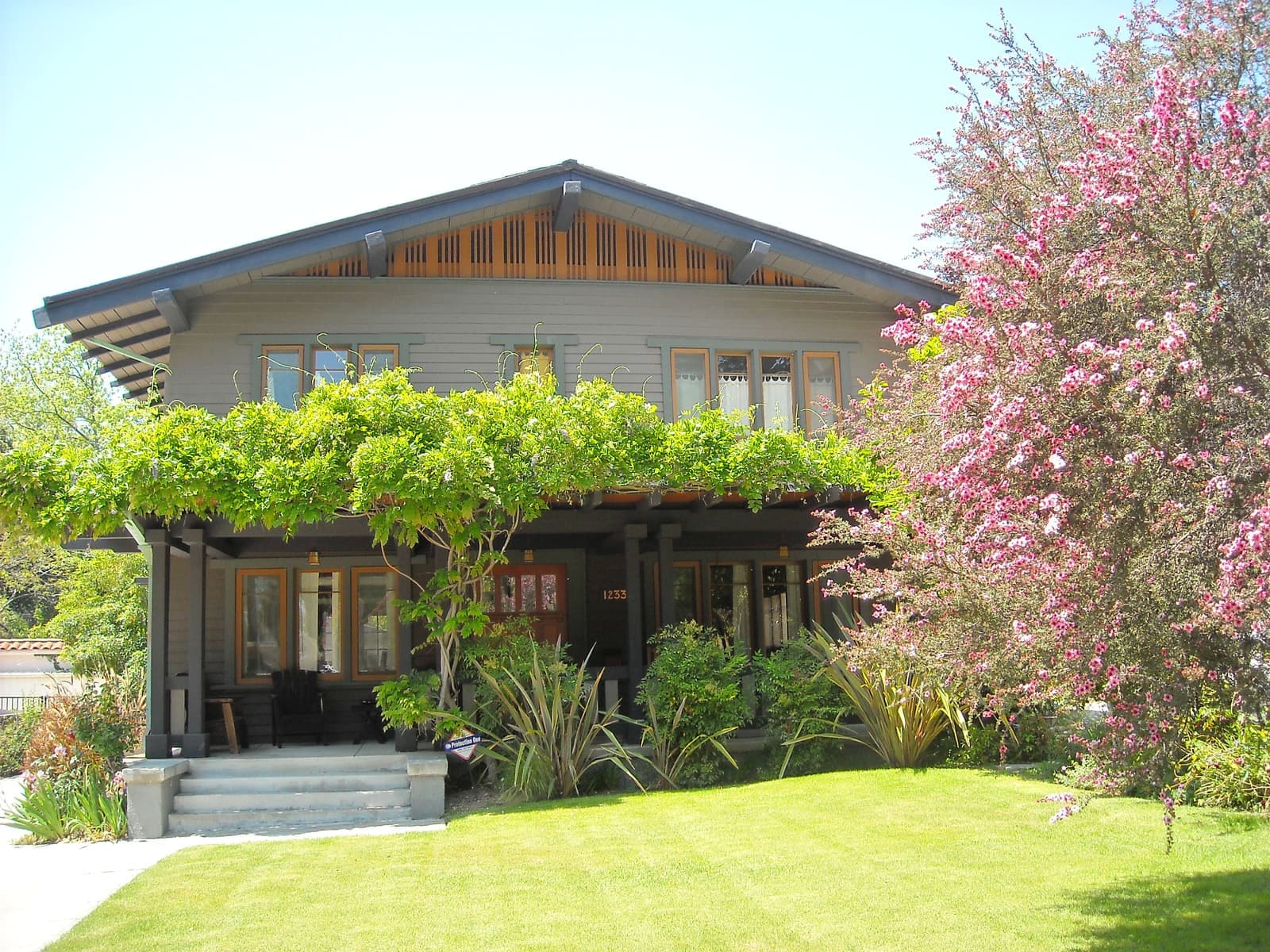
Unlike a single-developer tract, Verdugo Woodlands shows every style its decades favored. Several Craftsman houses from the 1910s and 1920s remain. Most of the older stock is Period Revival from the 1920s and 1930s, Spanish and Tudor among them, followed by the Minimal Traditional houses built just before World War II. Ranch and Modern houses filled the remaining lots in the 1940s and 1950s. On Niodrara Drive alone the 32 houses span 1912 to 1962.
The west side association counts more than 1,100 single-family houses, almost fifty multi-family buildings and about fifteen commercial buildings in its area. Houses are mostly one or two stories on sizable lots, and the trees are what you notice: coast live oak, jacaranda and sycamore shade the streets and the yards. Streets on the west side climb the Verdugo slopes; on the east side they climb the San Rafael Hills toward the Sports Complex.
The Niodrara Drive Historic District, created in 2016, is the one place where exterior work goes to the Historic Preservation Commission. In 2024 residents applied to make most of the west side a district too, 788 properties between Cañada Boulevard, San Gabriel Avenue and Verdugo Park. The commission held its first hearing on August 15, 2024. Ask the city where that process stands before you plan a remodel.
The rules that come with living between two mountain ranges.
Fire hazard is the first check. CAL FIRE released Glendale's updated Fire Hazard Severity Zone map on March 24, 2025, and the City Council adopted it for the city's Local Responsibility Area on July 29, 2025. Points we checked on both sides of the canyon, from Verdugo Park and Cañada Boulevard to Bonita Drive, all come back Very High on that map. The city's map shades the canyon and the slopes above it the same way. Owners in the Very High zone keep 100 feet of defensible space and face annual inspections. New construction follows wildland-urban interface codes, and sellers must provide AB 38 defensible-space documentation before closing.
Water is the second. The Verdugo Wash runs down the middle of the canyon as a concrete flood-control channel on its way to the Los Angeles River. FEMA maps the sampled streets as Zone X, minimal flood hazard. Hillside lots still need a look at drainage, retaining walls and slope stability, more so where a 1920s house has been added to over the decades. Past that it's the usual list for an older house: foundation, sewer lateral, roof, systems and permits.
Then the paperwork of place. Find out whether the house sits inside the Niodrara Drive district or the proposed larger one, because that decides who reviews exterior work. Ask Glendale Unified which schools the address feeds. And know that the Verdugo Road frontage carries the canyon's through traffic; the interior streets don't. On one of the canyon's few apartment buildings, Glendale's Rental Rights Program applies: no local rent cap beyond the state's 8.7 percent from August 1, 2026, but just-cause eviction rules for buildings of three or more units and relocation money when an increase tops 7 percent.
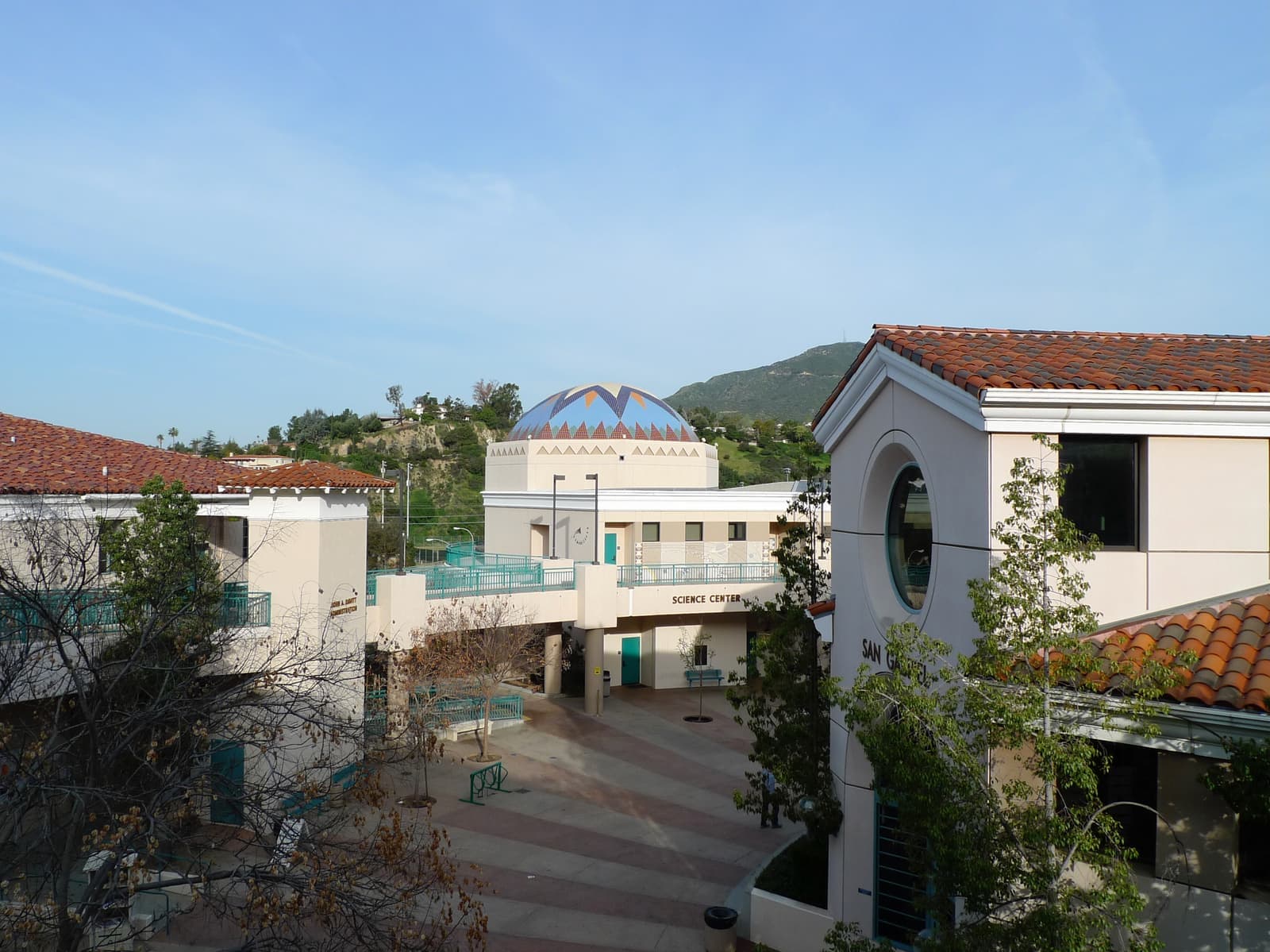
The lot and the trees come first.
Verdugo Woodlands prices on its setting. As of September 2026 the ten houses listed asked about $1.2 million to $3 million, the middle half $1.65 million to $2.3 million, and a few condos and townhouses near the canyon mouth asked $440,000 to $1 million. Buyers pay for a sizable lot under mature trees, a canyon street with no through traffic, and a school assignment that keeps children inside the neighborhood through fifth grade. Because the houses span the 1910s to the 1960s, the spread between an original Craftsman, a remodeled Period Revival house and a 1950s Ranch is wide. Condition moves price more than style.
Within the canyon, the west side streets around Bonita Drive and Niodrara Drive and the hillside lots with views sit at the top. Houses along the Verdugo Road and Cañada Boulevard frontage, and the few multi-family buildings there, set the entry point. A house inside the Niodrara district trades on its protection; one in the proposed district trades with a question mark until the city decides.
Every listing here gets the same questions from me before anything else: fire zone, slope engineering, district status, and how old the roof and systems are.
Verdugo Road and Cañada Boulevard carry everything; Montrose is at the top, downtown at the bottom.
Everyday life runs along the two canyon roads. Verdugo Park, the elementary school and Glendale Community College sit at the bottom, and Glorietta Park serves the upper canyon. For errands and dinner, Montrose Shopping Park on Honolulu Avenue is the closest village street, north past Sparr Heights, with Berolina Bakery on Ocean View Boulevard on the way. Downtown Glendale and the 134 are south down Verdugo Road.
For the freeways, the 2 Glendale Freeway runs along the San Rafael Hills just east of the canyon, with an exit at Verdugo Road. Its last segment from the 134 to the 210 opened in 1975. The 210 is a short drive north through Montrose. Inside the neighborhood, Verdugo Road carries the through traffic while Cañada Boulevard and the side streets stay quieter. The Catalina Verdugo Trail at the Sports Complex gives hikers a route into the San Rafael Hills.
10 active rentals in the mapped area
Yes, if you want a sizable lot under old trees on a canyon street inside Glendale, and you can live with Very High fire-zone rules. The neighborhood runs along Cañada Boulevard and Verdugo Road between the Verdugo Mountains and the San Rafael Hills, with houses from the 1910s to the 1960s under mature oaks and sycamores. Verdugo Park sits at the bottom, Oakmont Country Club at the top, and the canyon has its own Glendale Unified elementary school. Besides the state-mapped fire zone, with its defensible-space rules and disclosure at sale, you sign up for hillside upkeep and through traffic on Verdugo Road.
The facts in this guide (districts, zones, rules) come from the official records below. We re-check them before property tours.