



Asking price
Linda Vista-Annandale asks 2.6 times as much as Pasadena does as a whole.
Linda Vista-Annandale$3.2M
All of Pasadena$1.25M
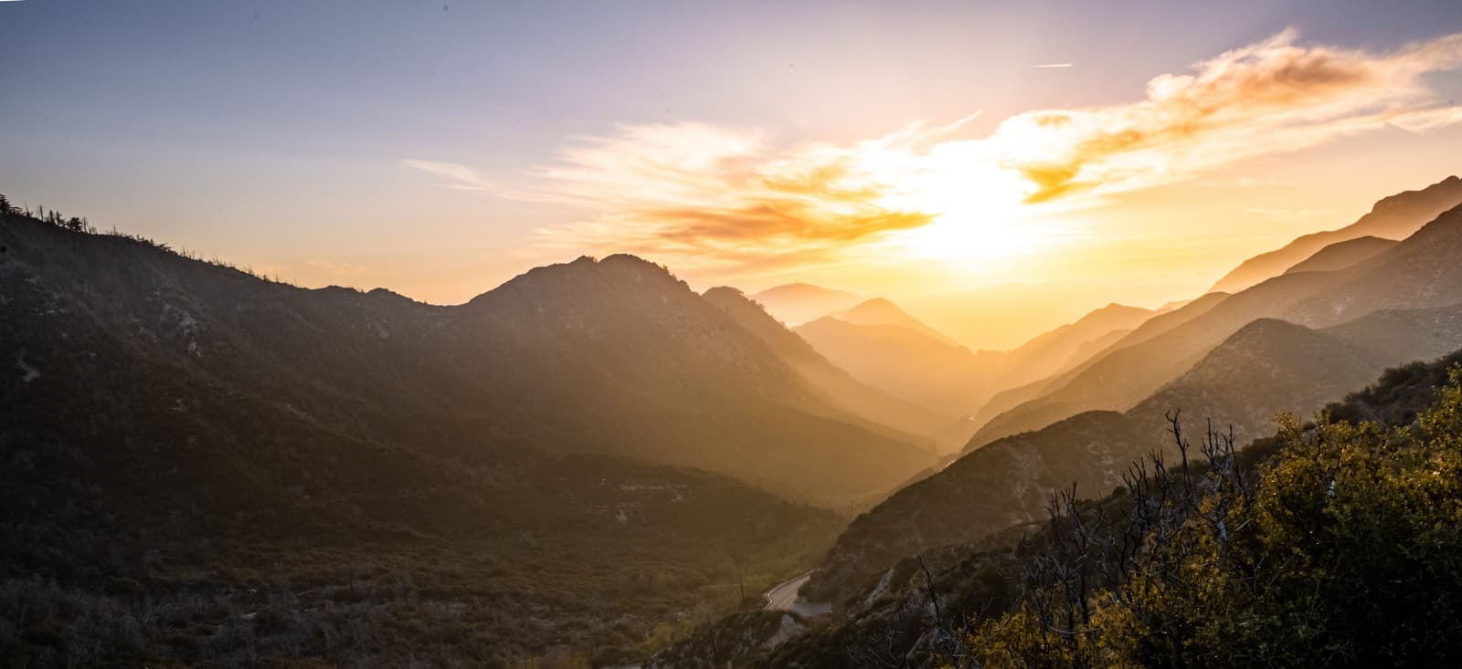
Pasadena's hills west of the Arroyo Seco, from the Rose Bowl up to the 210

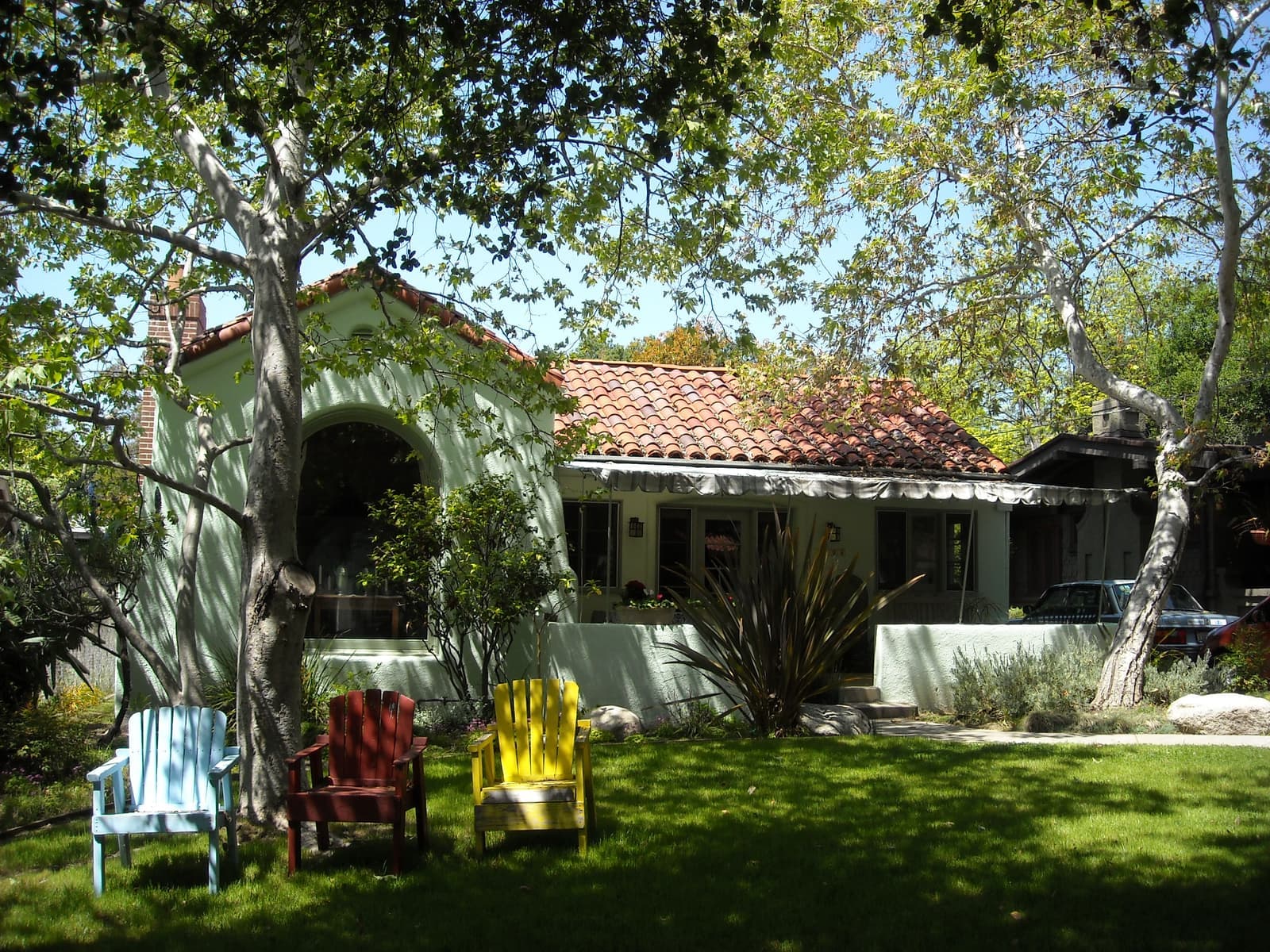
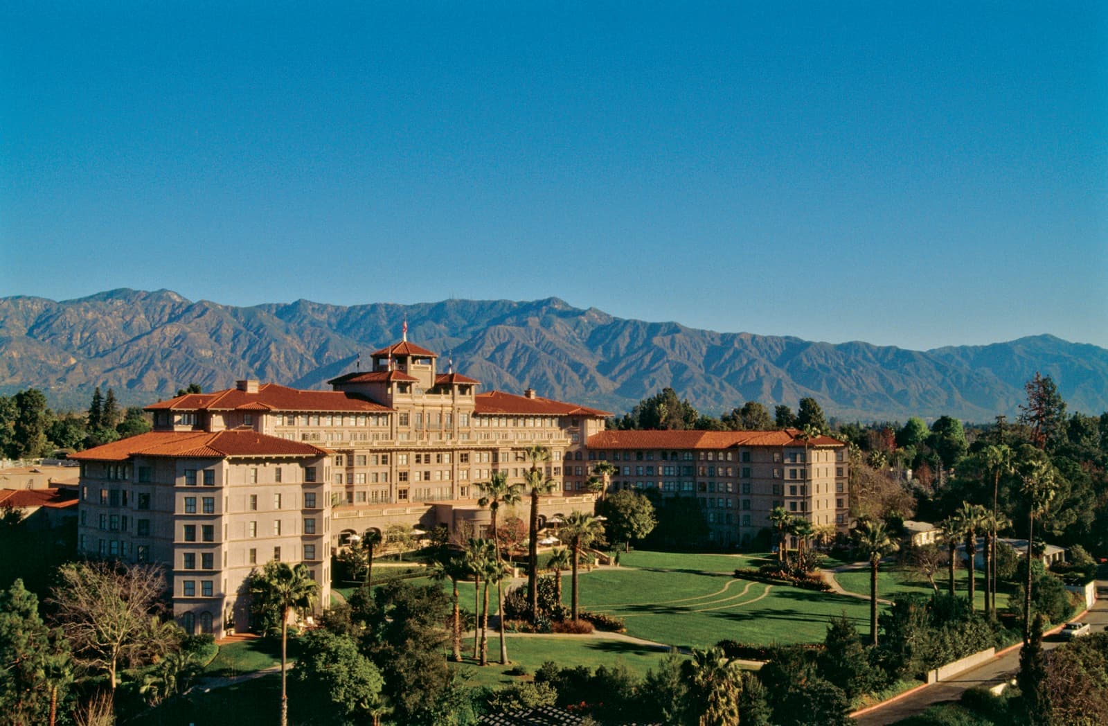
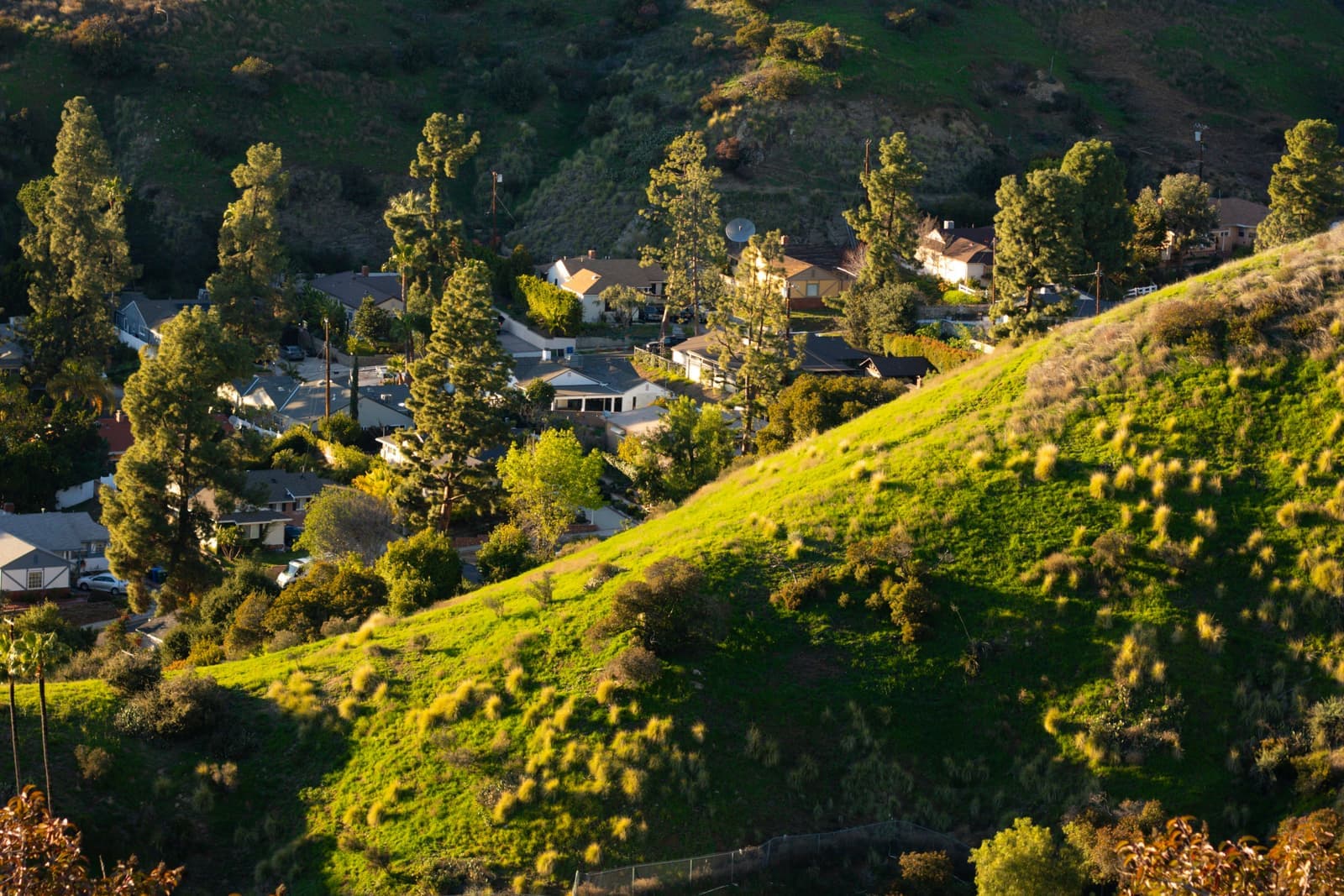
Linda Vista-Annandale is the hillside part of Pasadena west of the Arroyo Seco, between the 210 Freeway on the north and the 134 on the south, out to the Glendale and Los Angeles city lines. It takes in the Rose Bowl, the Brookside Golf Club and the private Annandale Golf Club, which dates to 1906, along with winding streets of 1920s, mid-century and newer houses. The hills are in CAL FIRE's Very High fire hazard zone and under Pasadena's hillside building rules. In late September 2026 the 13 houses for sale asked about $1.9 million to $20 million, most of them between $2.4 million and $3.8 million.
Sources: U.S. Census Bureau, ACS 5-year 2019–2023; neighborhood facts compiled by The Slava House.
What this part of town is, and why its name is confusing.
This guide covers the part of Pasadena west of the Arroyo Seco between the 210 Freeway and the 134 Freeway, out to the city lines with Glendale and Los Angeles. The City of Pasadena maps it as the area of the Linda Vista/Annandale Association, with the center of the Arroyo as the eastern edge, so the Rose Bowl and the Brookside Golf Club are inside and the museums and houses on the east rim are next door.
People use several names here. Linda Vista comes from Linda Vista Avenue, the main road through the hills, though some sources draw Linda Vista smaller, from Oak Grove Drive to Colorado Boulevard and west of Linda Vista Avenue. Annandale comes from the Annandale Golf Club in the canyon just north of Colorado, though the old Annandale community also took in land south of Colorado that's now split between Pasadena and Los Angeles. You'll also see San Rafael, but Pasadena uses that name for several different places, which is why this guide doesn't.
In the city's zoning code, the San Rafael hillside neighborhood is a separate overlay south of Colorado Boulevard. San Rafael Elementary is on Nithsdale Road, also south of Colorado. The Alta San Rafael Association is a small area near Linda Vista Avenue, north of the 134. And the San Rafael Hills run on into Glendale; they share their name with the old Rancho San Rafael, a Spanish land grant given to José María Verdugo in 1784. If a listing says San Rafael, ask which one.
Linda Vista-Annandale asks 2.6 times as much as Pasadena does as a whole.
A square foot in Linda Vista-Annandale costs 34% more than across Pasadena.
Listings in Linda Vista-Annandale have been on the market 11 fewer days than across Pasadena.
Homes for sale in Linda Vista-Annandale are 2.4 times the size of those across Pasadena.
Each card sets the median in Linda Vista-Annandale against all of Pasadena. Asking prices for homes on the market right now inside each mapped area, not sale prices. Linda Vista-Annandale: houses only. Updated October 3, 2026, 7:00 PM PT
15 active listings in the mapped area
I’m a Long Beach Realtor and I work Pasadena too. Tell me what you’re after in Linda Vista-Annandale and I’ll help you get there.
Slava Ploshkin · DRE #02323623English and Russian
The restaurants, cafes, shops, parks, and landmarks that give Linda Vista-Annandale its everyday character, most within a short walk.
8 places
Pick one and I’ll show you where it is.
Recreation15 min walk
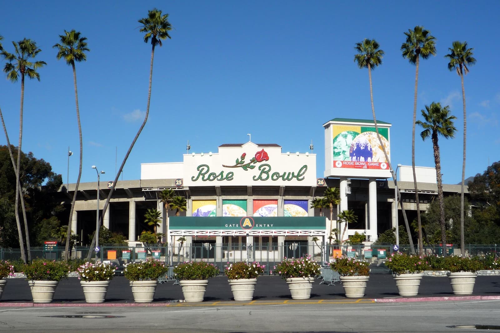
The stadium in the Arroyo, opened in October 1922 to a design by Myron Hunt and a National Historic Landmark since 1987. UCLA has played home games here since 1982, and the flea market fills the grounds on the second Sunday of every month.
The city's Rose Bowl Loop around the stadium and golf course is open to walkers and runners, and cyclists use the paved roads.
Recreation15 min walk
The City of Pasadena's 36-hole public course next to the Rose Bowl, with the C.W. Koiner and E.O. Nay courses designed by William P. Bell.
Recreation25 min walk
A private club at 1 N. San Rafael Ave., in the canyon north of Colorado Boulevard, that traces its history to 1906.
Members only; you'll see the fairways from the roads above it.
Landmark10 min walk
The design school's hilltop campus at 1700 Lida St., opened in 1976. Craig Ellwood's bridge building spans a small arroyo and a road.
Landmark15 min walk
A small tract on Pegfair Estates Drive and Carnarvon Drive listed on the National Register of Historic Places as a district in January 2010.
Recreation5 min walk
The main road through the hills, running from Colorado Boulevard up the west side of the Arroyo toward the 210. Most side streets climb off it.
Landmark · Nearby25 min walk
The children's museum next to the Rose Bowl, on the east side of the Arroyo, in the old Fannie E. Morrison Horticultural Center.
Park · Nearby30 min walk
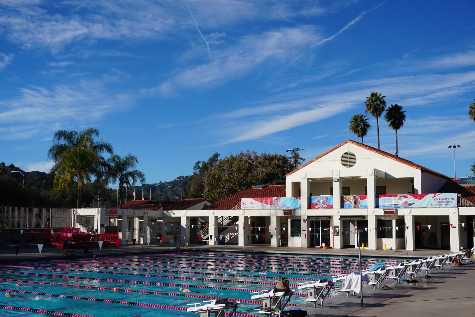
Pasadena's largest fully maintained park, 61.1 acres just south of the stadium, with Jackie Robinson Stadium (4,200 seats), lighted softball diamonds and a big multi-use field. The Rose Bowl Aquatics Center is next door.
What's for sale up here, and what the lots are like.
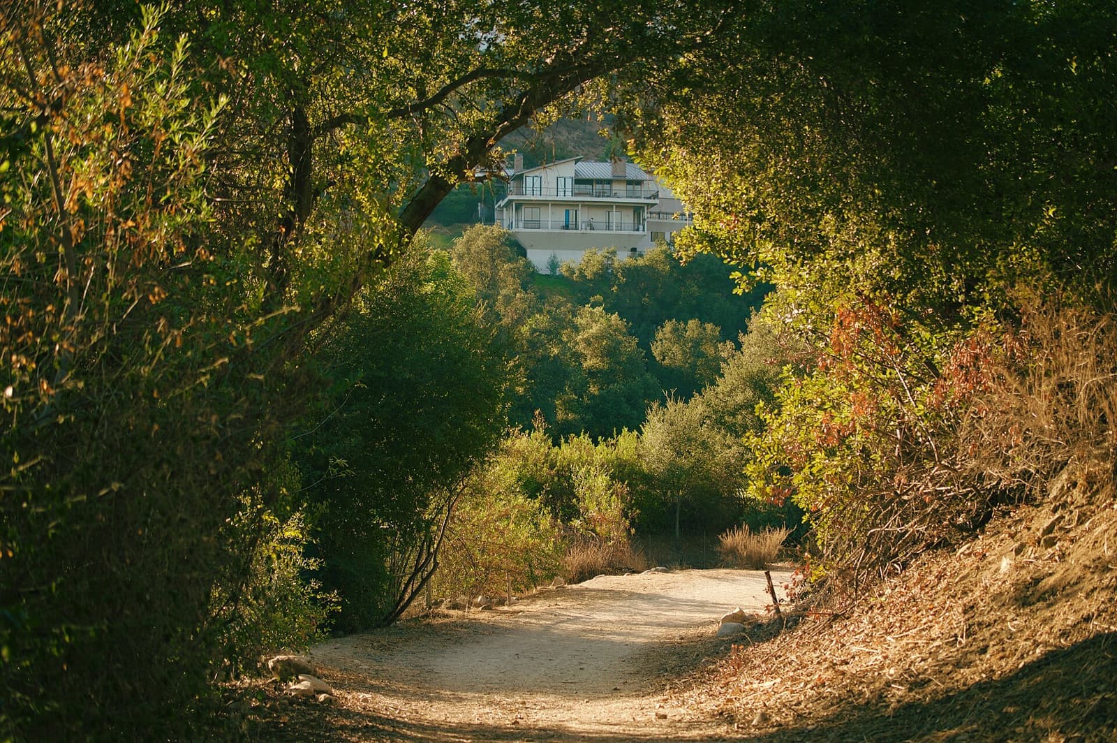
Nearly all of it is single-family houses, and the residential lots I checked on the city's zoning map are RS-2 or RS-4, both with the hillside overlay. For new lots, RS-2 requires 20,000 square feet and RS-4 requires 12,000. The streets follow the ridges and canyons rather than a grid, so views, sun and privacy can change a lot from one side of a street to the other.
On September 25, 2026, 13 houses were for sale, all single-family. They asked from about $1.9 million to $20 million; nine of the 13 asked between $2.4 million and $3.8 million, and one estate of about 3.4 acres asked eight figures. The houses were built between 1924 and 1997, and their lots ran from about 7,500 square feet to that 3.4-acre parcel. Three houses were for rent at $11,900 to $25,000 a month.
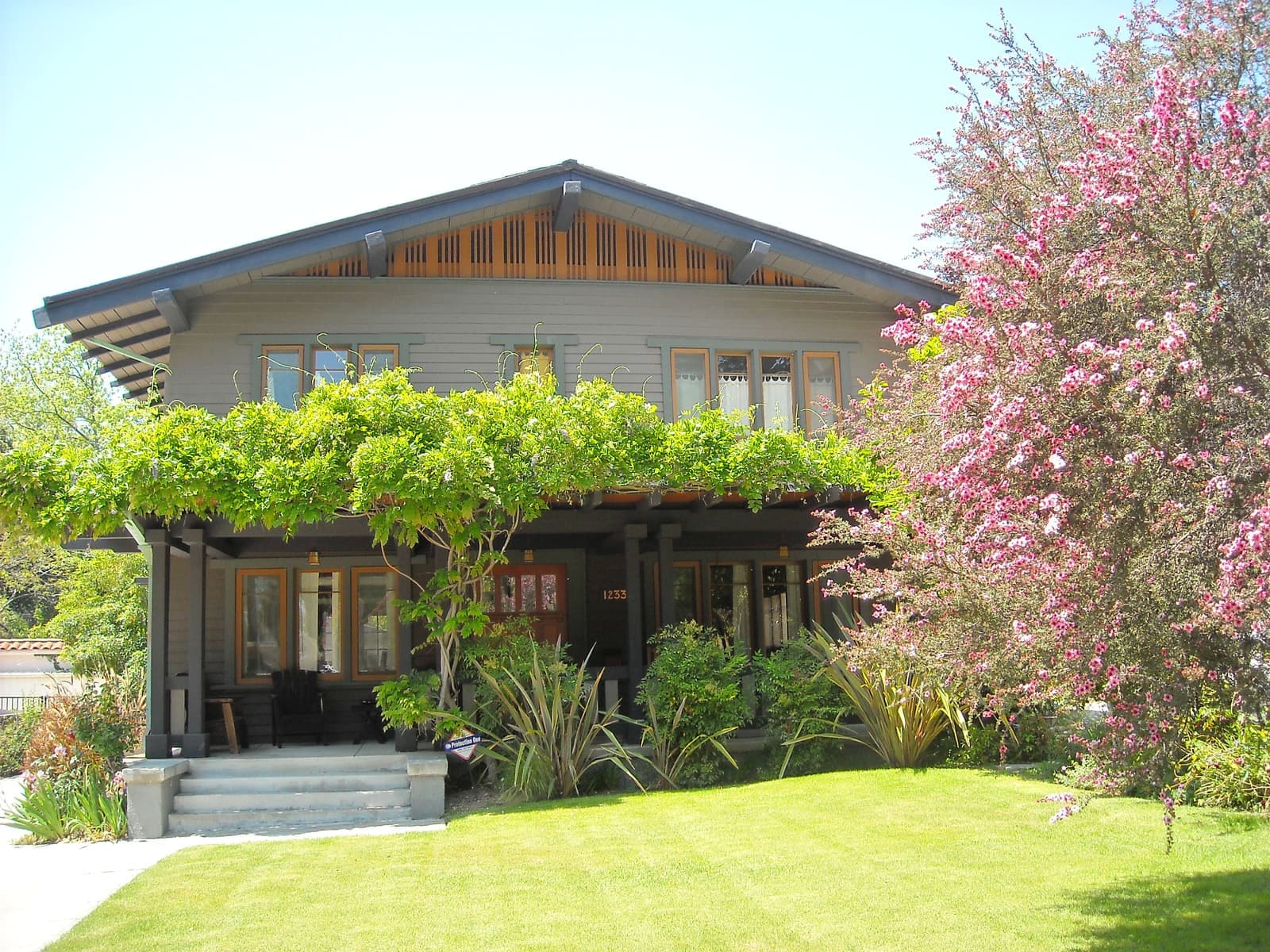
Some of the history is on the city's list. Pegfair Estates, a small tract on Pegfair Estates Drive and Carnarvon Drive, has been on the National Register as a district since January 2010, and the Wotkyns-Richland landmark district near the Rose Bowl was designated in 2014. The city's GIS also lists eight small areas here as eligible for historic or landmark district status but not designated, including Inverness Drive, Rancheros Road and Lancashire/Knollwood.
What Pasadena's hillside overlay allows, and when you need a permit hearing.
The hills are in Pasadena's Hillside Development overlay, Chapter 17.29 of the zoning code. A new house, any new square footage above the first floor, or a first-floor addition of 500 square feet or more needs a Hillside Development Permit. Houses can't exceed 28 feet above the slope at any point or 35 feet from the lowest point to the top of the roof, lot coverage tops out at 35%, and the top of a house has to sit at least 30 feet below the nearest ridge.
Floor area is capped by formula. On an RS-2 hillside lot the base is 22.5% of the lot plus 500 square feet, it shrinks as the average slope climbs past 15%, and on lots of 10,000 square feet or more, any part steeper than 50% doesn't count toward the lot area. On rim lots shown on the city's Arroyo Seco slope bank map, nothing can be built over the top edge of the slope, and anything within 20 feet of it needs a hillside permit.
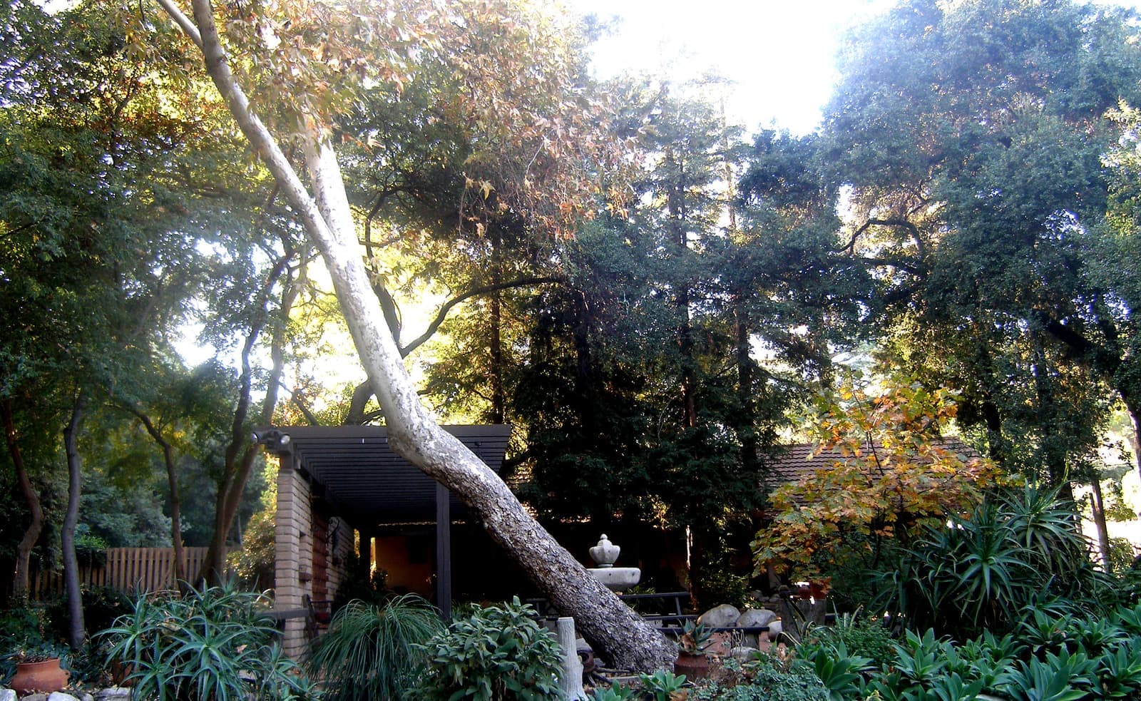
Trees are the other constraint. Pasadena protects native trees, including coast live oaks, California sycamores and California bay, once the trunk is more than 8 inches across at 4½ feet above the ground. And SB 9's lot-split and duplex rules come with extra conditions in very high fire hazard zones, so check with the city before you count on them.
Very High means rules for your yard, and on fire days, for where you park.
Every hillside point I checked sits in the Very High fire hazard severity zone on CAL FIRE's 2025 map for local responsibility areas, which state law required Pasadena to adopt; only the Rose Bowl, Brookside and the east-bank streets along Rosemont Avenue drop to High, Moderate or no zone. In a very high zone, state law requires 100 feet of defensible space around a house, or to the property line if that's closer, and it calls for an ember-resistant zone within 5 feet of the house under rules from the state Board of Forestry. When you sell, state law requires documentation that the property complies, or a written agreement that the buyer will get it, a rule in effect since July 1, 2021.
Pasadena adds its own rule for fire days. Since 2009, streets in the wildland interface that are posted with Red Flag signs lose their street parking when a Red Flag warning is declared, and cars left there get ticketed and towed. The fire department estimated 10 to 15 restricted days in an average year. If your house has no garage or driveway parking, that's a real inconvenience.
The January 2025 Eaton Fire burned 14,021 acres on the other side of the Arroyo and above Altadena. On CAL FIRE's mapped perimeter, its closest edge was about six-tenths of a mile from the north end of this area. The practical question is insurance, and I'd have written quotes on the exact address before any offer. The California FAIR Plan covers fire only, caps a home at $3 million per location, and is raising rates 29.1% on average starting October 15, 2026.
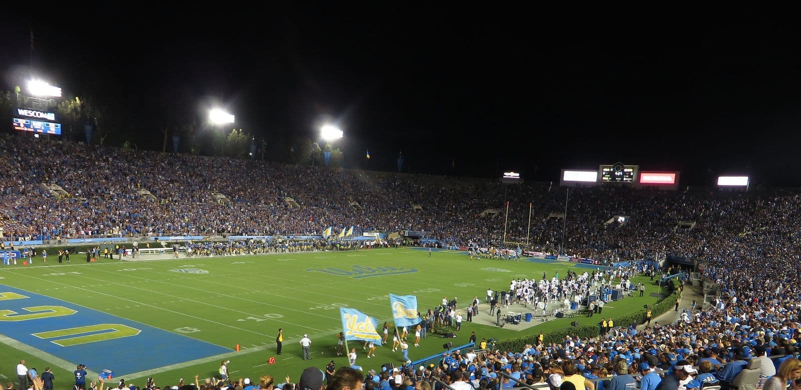
The stadium and the parks in the canyon below the hills.
The Rose Bowl opened in October 1922, designed by Myron Hunt, and has been a National Historic Landmark since 1987. It seats 89,702, UCLA has played home games here since 1982, and it's scheduled to host the soccer gold medal matches at the 2028 Olympics. The flea market takes over the grounds on the second Sunday of every month, as it has since 1967.
Around it, the city's Brookside Golf Club has two 18-hole courses, the C.W. Koiner and E.O. Nay, designed by William P. Bell. Brookside Park, just south, covers 61.1 acres with Jackie Robinson Stadium, lighted softball diamonds and a big multi-use field, and the Rose Bowl Aquatics Center and Kidspace Children's Museum sit next to it. The city's Rose Bowl Loop circles the stadium and golf course, part of the 22 miles of trails in Pasadena's Arroyo Seco, open sunrise to sunset.
Big events bring crowds and traffic into the Arroyo and onto the roads around it. Before you buy near the Rose Bowl, drive your route on a game day or a flea market Sunday. The Colorado Street Bridge, opened in December 1913 and 1,467.5 feet long, crosses the Arroyo just south of the 134 at the southern edge of the area.
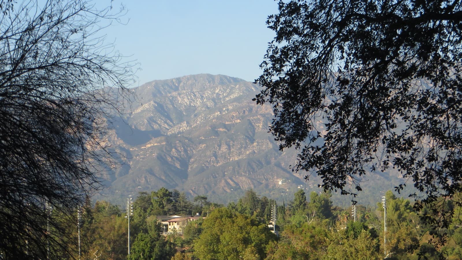
Linda Vista Avenue is the way in and out, and PUSD assigns schools by street.
Linda Vista Avenue is the spine. It runs from Colorado Boulevard up the west side of the Arroyo, the 134 is at the south end and the 210 at the north end, and Old Pasadena is a few minutes east across the bridges. ArtCenter College of Design's Hillside Campus, opened in 1976, sits on the ridge at 1700 Lida St., and NASA's Jet Propulsion Laboratory is just north of the 210 in La Cañada Flintridge.
This part of Pasadena is in the Pasadena Unified School District. When I ran three addresses through PUSD's School Finder in September 2026, two on Linda Vista Avenue came back Washington Accelerated Elementary, Octavia E. Butler Magnet for middle school and John Muir High School, and one near the Annandale Golf Club came back Madison Elementary, Butler and Muir. Because it varies street to street, run the exact address through the finder yourself.
Pasadena's overnight street parking ban, 2 a.m. to 6 a.m. without a permit, applies here too, and hillside streets are narrow, so plan for guests. The hillside code already asks new houses for extra off-street guest parking, two or four spaces depending on whether the street allows parking.
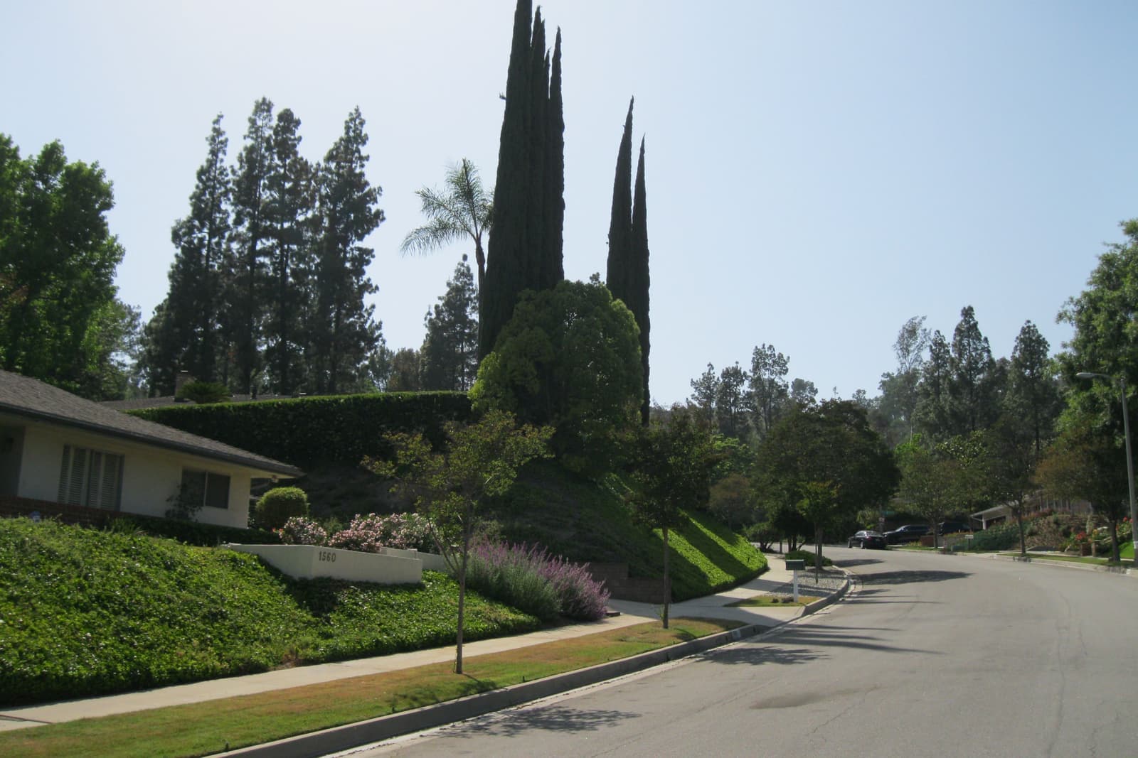
The reports that decide whether a view lot works for you.
Insurance first. I ask for written quotes on the exact address during the first days of escrow, and I ask the seller for the defensible space documentation state law requires in this zone. Then the permit history: hillside permits, additions, retaining walls and any grading, compared against what's actually built and what the assessor has on record.
Pasadena's presale program also applies. Before escrow closes, the seller needs a Presale Certificate of Completion, which requires certifying there's no unpermitted construction over 120 square feet and that the living space isn't 10% or more over the assessor's record, or a city inspection certificate. If the inspection finds problems, the seller can transfer them to you in writing, so read that document.
Then the ground. On a slope I want a geotechnical opinion on the retaining walls, drainage and any cracking, and a look at the flood map: two of the three points I checked are FEMA Zone X, but the third, on a hillside, came back Zone D, meaning the flood risk hasn't been determined. I walk the house and the slope with you before we write the offer.
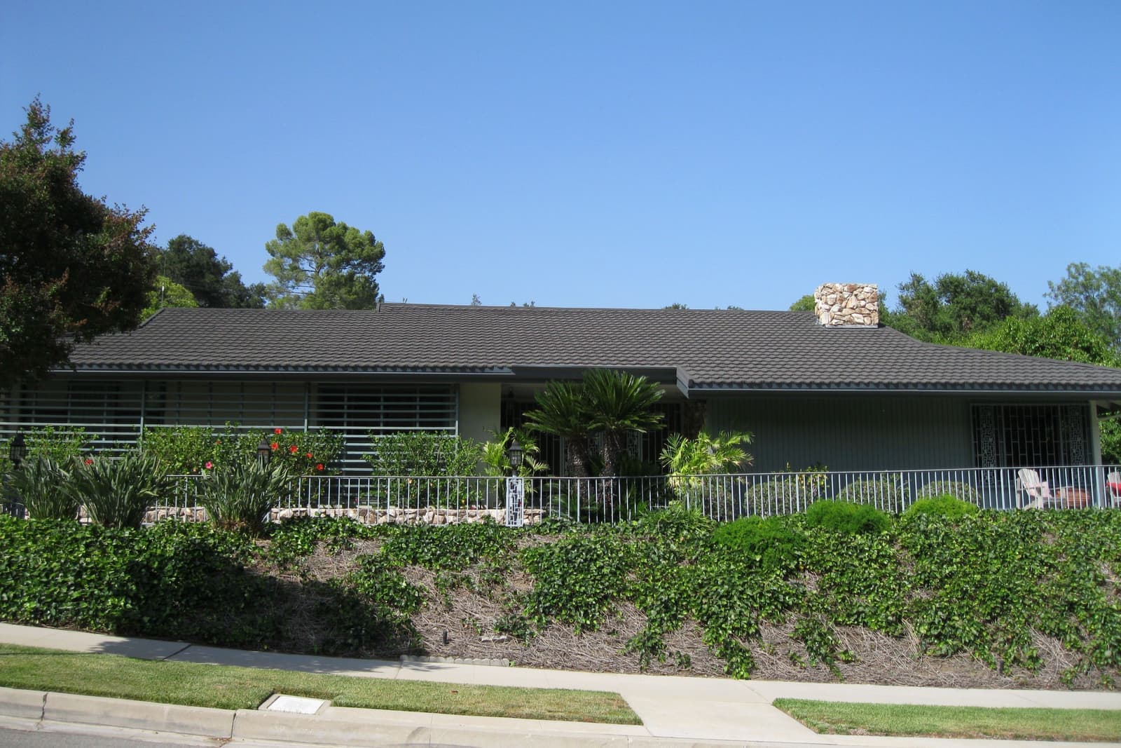
2 active rentals in the mapped area
Linda Vista is the hillside part of Pasadena west of the Arroyo Seco, named for Linda Vista Avenue. The City of Pasadena maps the Linda Vista/Annandale Association as running from the 210 Freeway south to the 134 Freeway, and from the center of the Arroyo west to the city line with Glendale and Los Angeles. Some sources draw Linda Vista smaller, west of Linda Vista Avenue.
The facts in this guide (districts, zones, rules) come from the official records below. We re-check them before property tours.