










$2,700/mo
Quadruplex1 bd1 ba650 sqft
3529 Market Street
The Crescenta Valley's village street: three blocks of Honolulu Avenue in a 1913 townsite, with a city line running right through it
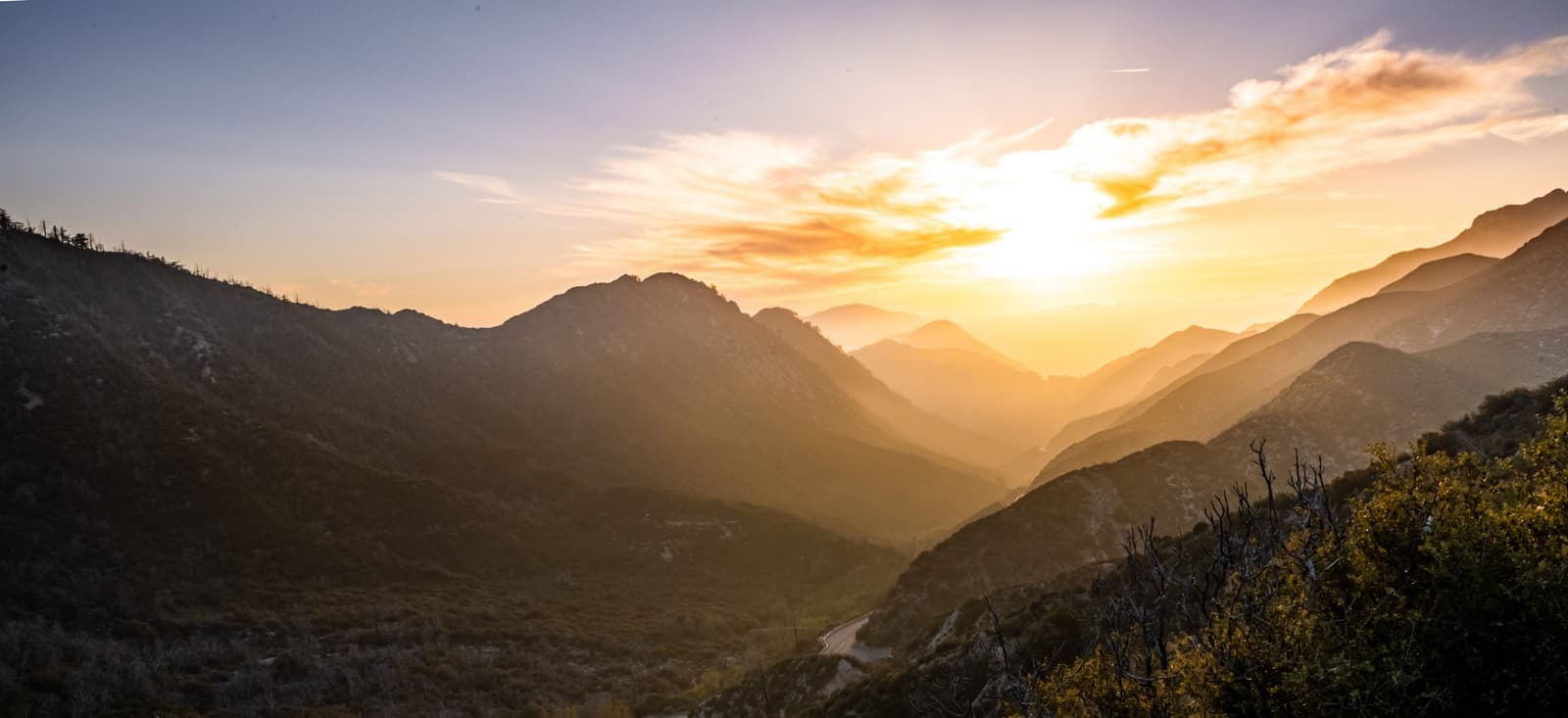
Montrose is the village center of the Crescenta Valley, a 1913 townsite built around Honolulu Avenue between Ocean View Boulevard and Verdugo Road, where the Montrose Shopping Park holds nearly 200 businesses and a Sunday farmers market. Glendale annexed most of the Shopping Park and the blocks south of it between 1951 and 1955. The streets north of Honolulu, from Florencita and Montrose avenues up to Foothill Boulevard, are unincorporated La Crescenta-Montrose under Los Angeles County. Both sides share ZIP 91020 and Glendale Unified schools. On January 1, 1934 a debris flow killed at least 45 people in the valley. As of September 2026 the few houses listed near the village asked about $950,000 to $2.1 million.
Sources: U.S. Census Bureau, ACS 5-year 2019–2023; neighborhood facts compiled by The Slava House.
A 1913 main street, with the Glendale line running along the backs of its shops.
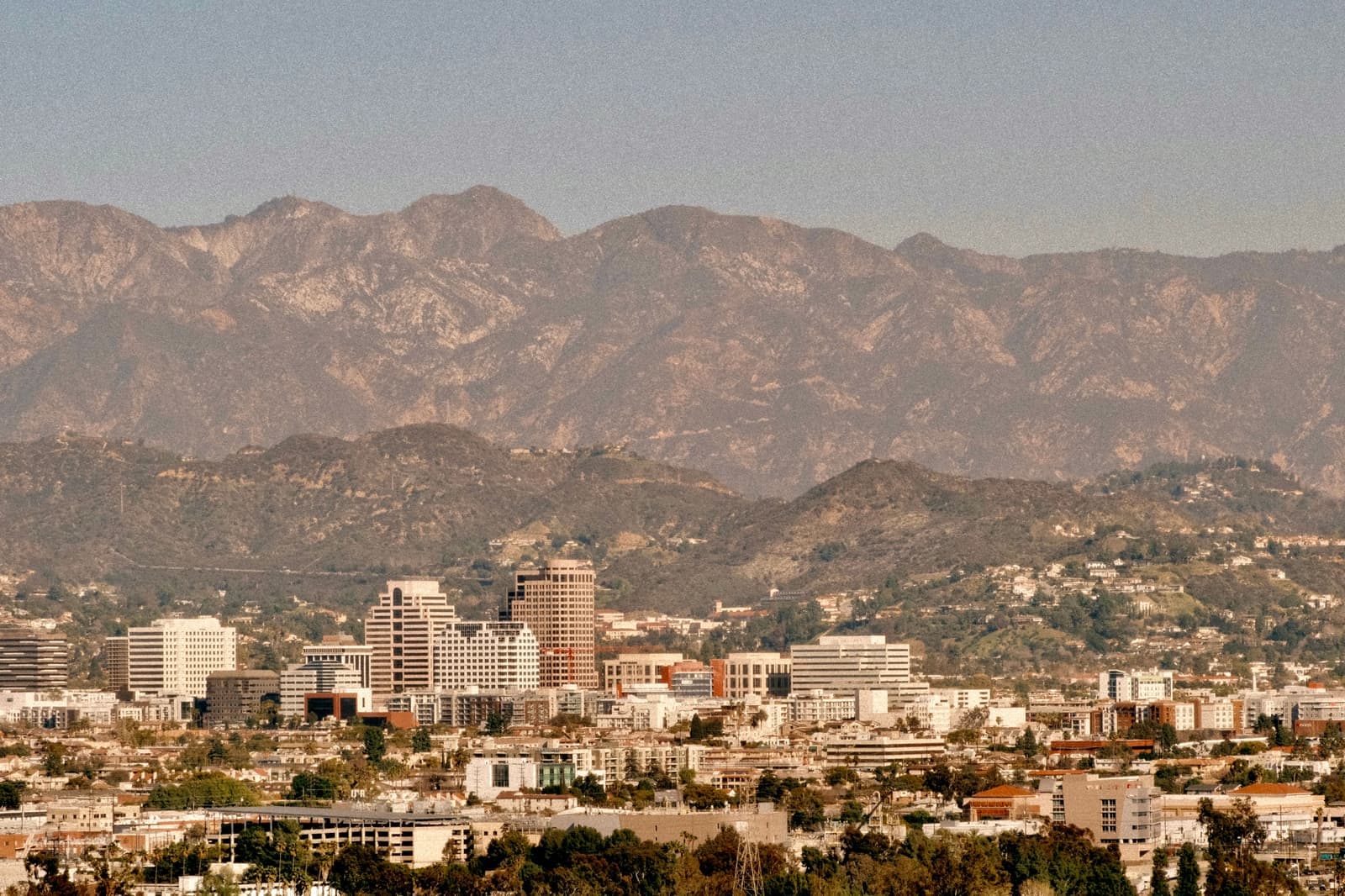
Montrose is the commercial and social center of the Crescenta Valley, the flat between the San Gabriel Mountains and the Verdugo Mountains in the north of Glendale. The center is Honolulu Avenue between Ocean View Boulevard and Verdugo Road, the three blocks the merchants rebuilt in 1967 as the Montrose Shopping Park. Around it are early 1900s to mid-century houses, apartment buildings on the side streets, and Sparr Heights and Verdugo Woodlands to the south.
The name is a townsite name. Robert A. Walton, a real estate agent, and J. Frank Walters, an investor, bought almost 300 acres of scrub in the southeastern corner of La Crescenta in late 1910. They picked the name by contest in December 1912 and opened lot sales with a barbecue on February 22, 1913. The first commercial building, a one-story shop at the southwest corner of Honolulu Avenue and Verdugo Road, opened in early 1914. The curving streets were graded months before the name was picked, and from the air they look like a flower, which is why locals repeat the story that Montrose means "mountain rose." The chamber of commerce says that's a myth; the likelier source is Montrose, Scotland, and the builders never said.
One fact shapes everything else here. Glendale annexed Montrose block by block between 1951 and 1955, and the line stopped roughly at the rear of the lots on the north side of Honolulu Avenue. Most, though not all, of the Shopping Park and the streets south of it are in the City of Glendale. The blocks north of it, from Montrose Avenue up to Foothill Boulevard and the 210, are unincorporated La Crescenta-Montrose, governed by Los Angeles County. Both sides share the 91020 ZIP code and Glendale Unified schools.
Each card sets the median in Montrose against all of Glendale. Asking prices for homes on the market right now inside each mapped area, not sale prices. Updated October 3, 2026, 5:00 PM PT
No active listings in mapped area right now
I’m a Long Beach Realtor and I work Glendale too. Tell me what you’re after in Montrose and I’ll help you get there.
Slava Ploshkin · DRE #02323623English and Russian · How I work in Glendale
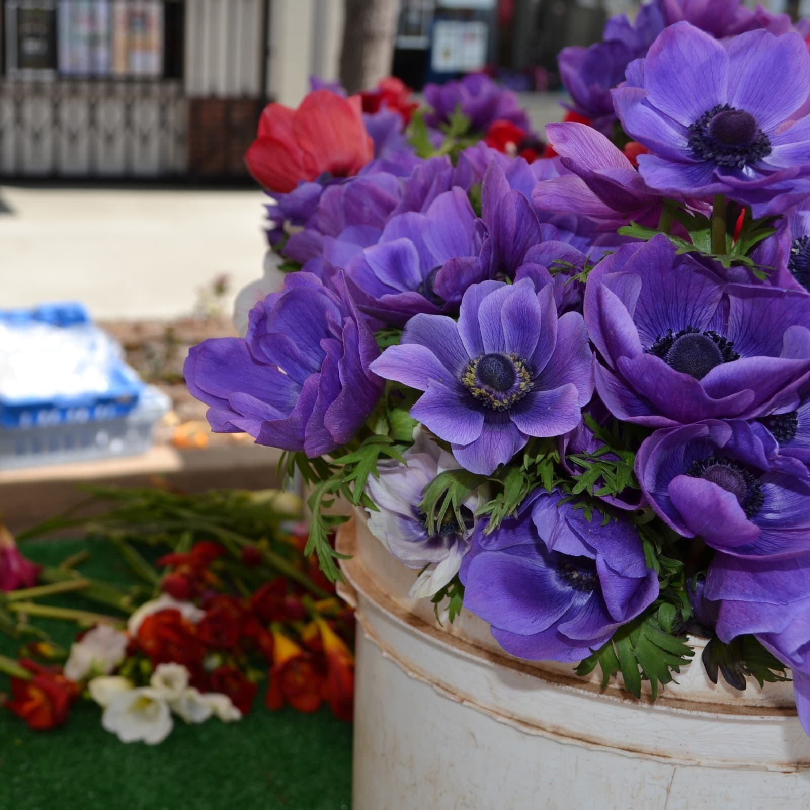
The restaurants, cafes, shops, parks, and landmarks that give Montrose its everyday character, most within a short walk.
9 places
Pick one and I’ll show you where it is.
Shopping5 min walk
The 2200 to 2400 blocks of Honolulu Avenue, rebuilt in 1967 with curb-outs, benches and landscaping, and run since 1973 as a business improvement district of nearly 200 businesses.
The city bought the lots behind Honolulu for parking when the street was narrowed.
Shopping5 min walk
The Sunday farmers market on Honolulu Avenue, open 8 a.m. to 1 p.m. with certified growers and prepared food, run by the Shopping Park Association.
It closes only for Christmas and Easter.
Shopping5 min walk
The children's bookstore at 2207 Honolulu Avenue, founded in 1966 by Jane Humphrey and named the nation's oldest children's bookstore by Publishers Weekly in 2008.
Nightlife5 min walk
An eight-lane bowling alley at 2334 Honolulu Avenue, open since 1936 and run by the Berger family since 1981, with the 1950s decor left from the 1998 filming of Pleasantville.
It works mostly as a private-event venue; check the calendar before showing up to bowl.
Restaurant5 min walk
A Spanish tapas and paella restaurant with a garden and wine bar at 2331 Honolulu Avenue, opened in 2013, with guitarists on weekends.
Landmark5 min walk
The City of Glendale's branch library at the west end of the Shopping Park, one sign that this stretch of Honolulu Avenue is inside the city.
Landmark10 min walk
The Glendale Unified elementary school assigned to Montrose's Glendale streets, on Las Palmas Avenue south of Broadview Drive.
Landmark · Nearby15 min walk
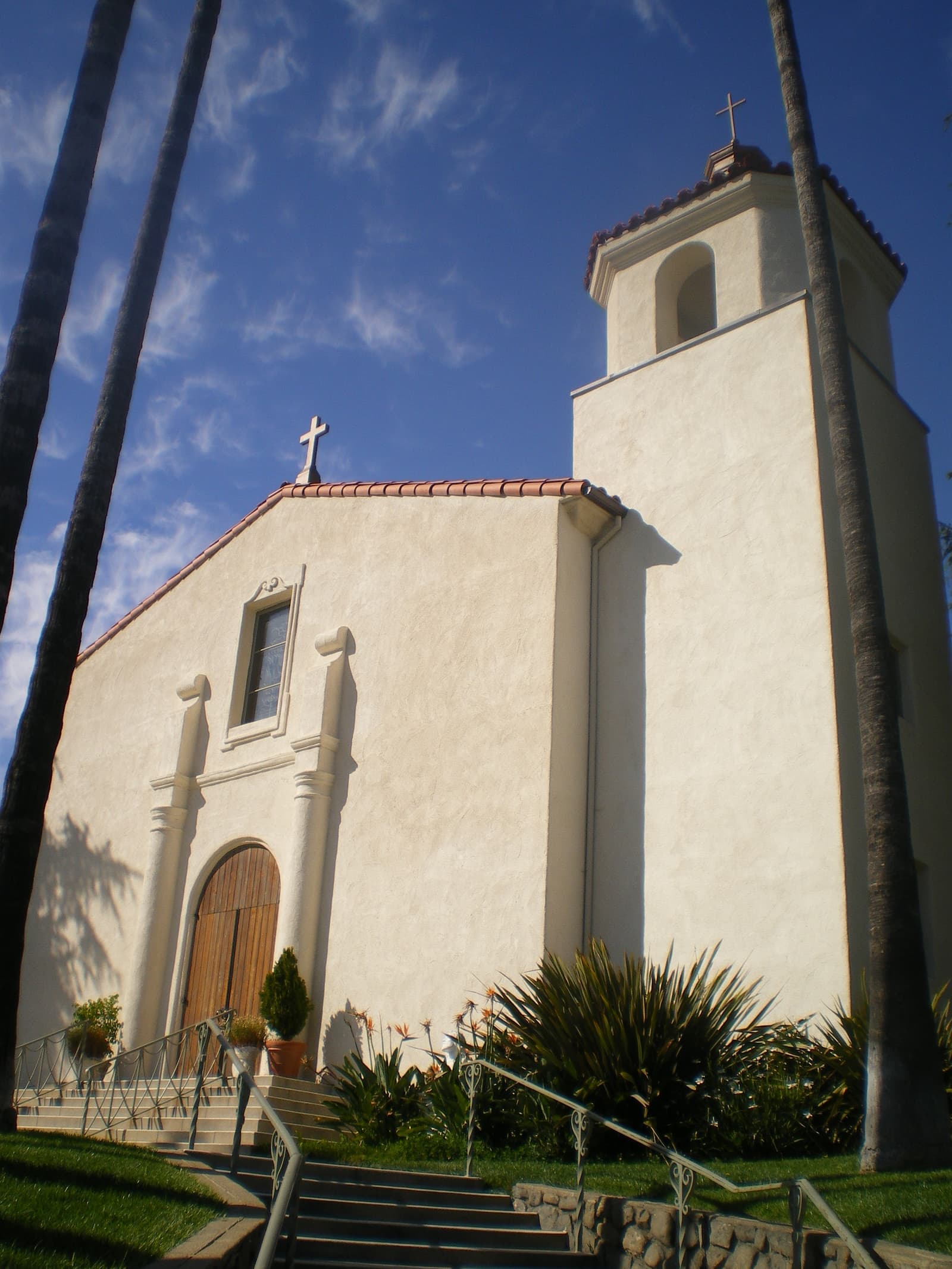
The marker at Rosemont and Fairway avenues, dedicated January 1, 2004, at the site of the American Legion hall where twelve people died on New Year's Day 1934.
Park · Nearby25 min walk
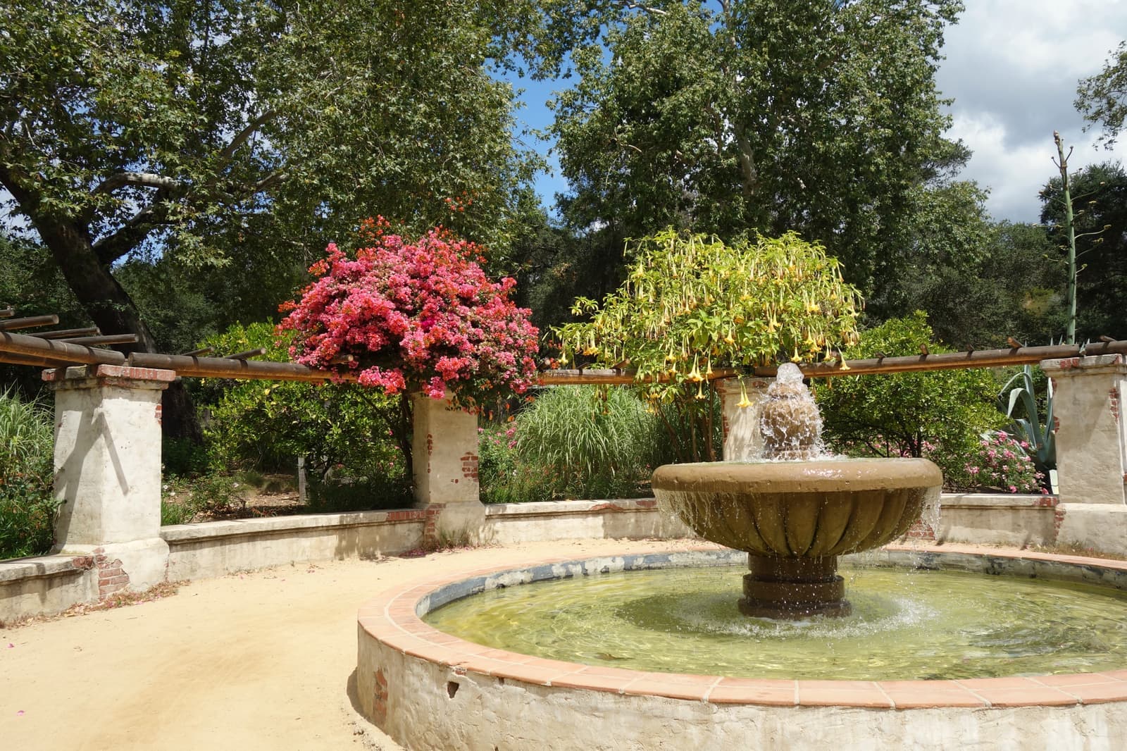
The 150-acre botanical garden in La Cañada Flintridge, a short drive east, sold to Los Angeles County in 1953, with a camellia forest growing under its oaks.
The New Year's flood of 1934 is the part of the story the valley still remembers.
Walton and Walters sold Montrose as a country townsite with a rail link. They bought the Eagle Rock trolley, renamed it the Glendale and Montrose Railway, and extended it through Montrose to La Crescenta; the line ran until 1930. By the 1920s a two-block business district had grown on Honolulu Avenue with a bank, a hardware store, a cafe, a men's clothier, a drugstore and a newspaper. Montrose Bowl opened on the avenue in 1936.
The valley's defining disaster came on New Year's Eve 1933. Wildfires in November had stripped the San Gabriel slopes above the valley, and a series of storms in the last week of December dropped about 12 inches of rain. Just after midnight on January 1, 1934, mud and debris poured down the canyons. More than 400 homes were destroyed in La Cañada, La Crescenta, Montrose and Tujunga, and at least 45 people died. Twelve of them had taken shelter in the American Legion hall on Rosemont Avenue, which was swept away. Parts of Foothill Boulevard lay under 12 feet of mud.
The response rebuilt the valley's plumbing. The Army Corps of Engineers and Los Angeles County built the system of debris basins and concrete channels that still carries the mountain runoff. The channels behind the Legion site were added in 1938. A monument at Rosemont and Fairway avenues was dedicated on the flood's seventieth anniversary, January 1, 2004. Then came annexation. The valley kept running short of water after the war, and Glendale offered its own unrationed supply to bring La Crescenta into the city. Voters turned the whole-valley annexation down, so Glendale canvassed Montrose block by block from 1951 to 1955 under Mayor George Wickham, whose name is on Wickham Way in the Shopping Park. In 1967 the merchants narrowed Honolulu Avenue with curb-outs, benches, decorative walls and landscaping, and the city bought the lots behind the shops for parking. The Montrose Shopping Park Association formed in 1968 and has run the business improvement district since 1973.
Small flat lots on the Glendale side, and apartments on the streets off the avenue.
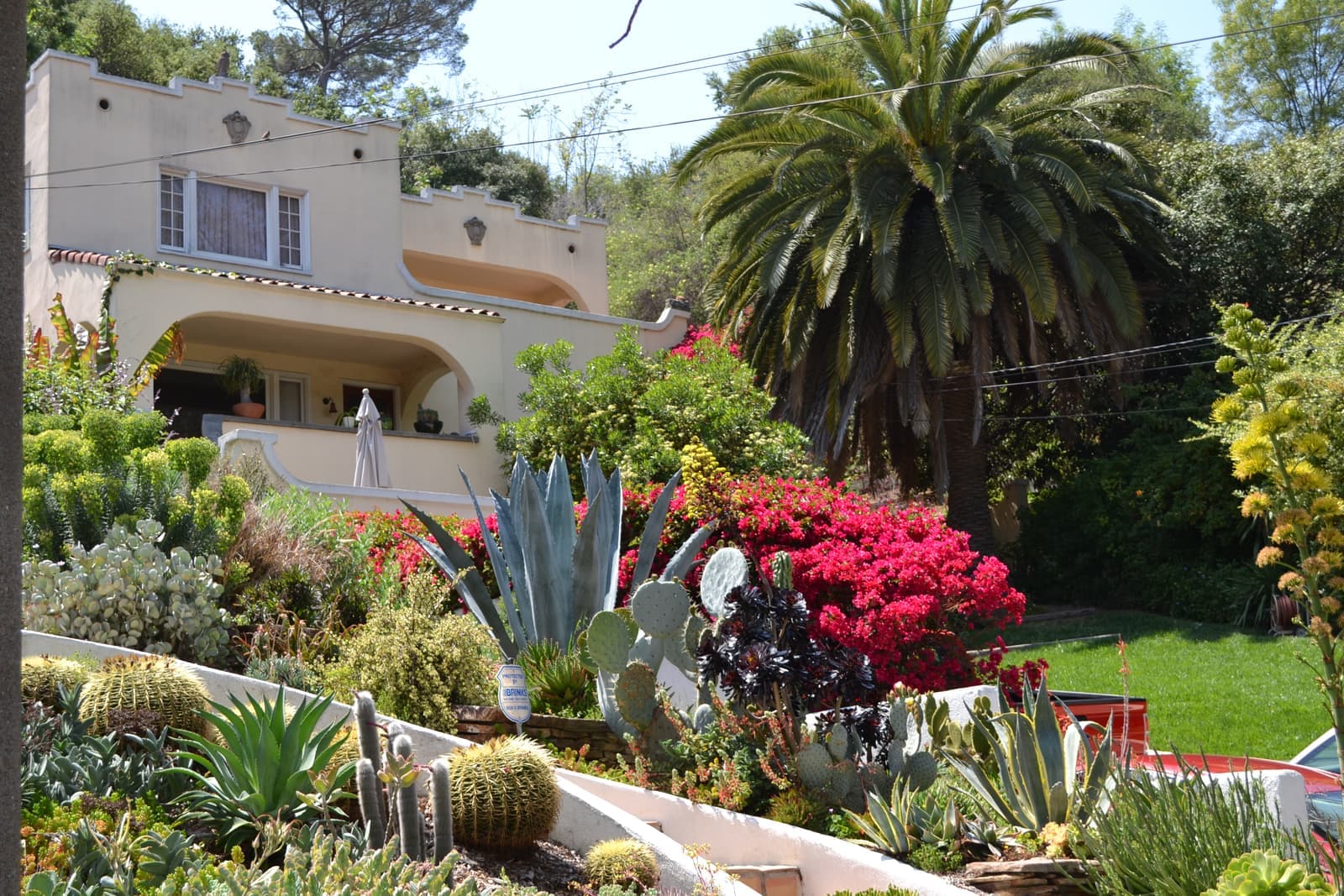
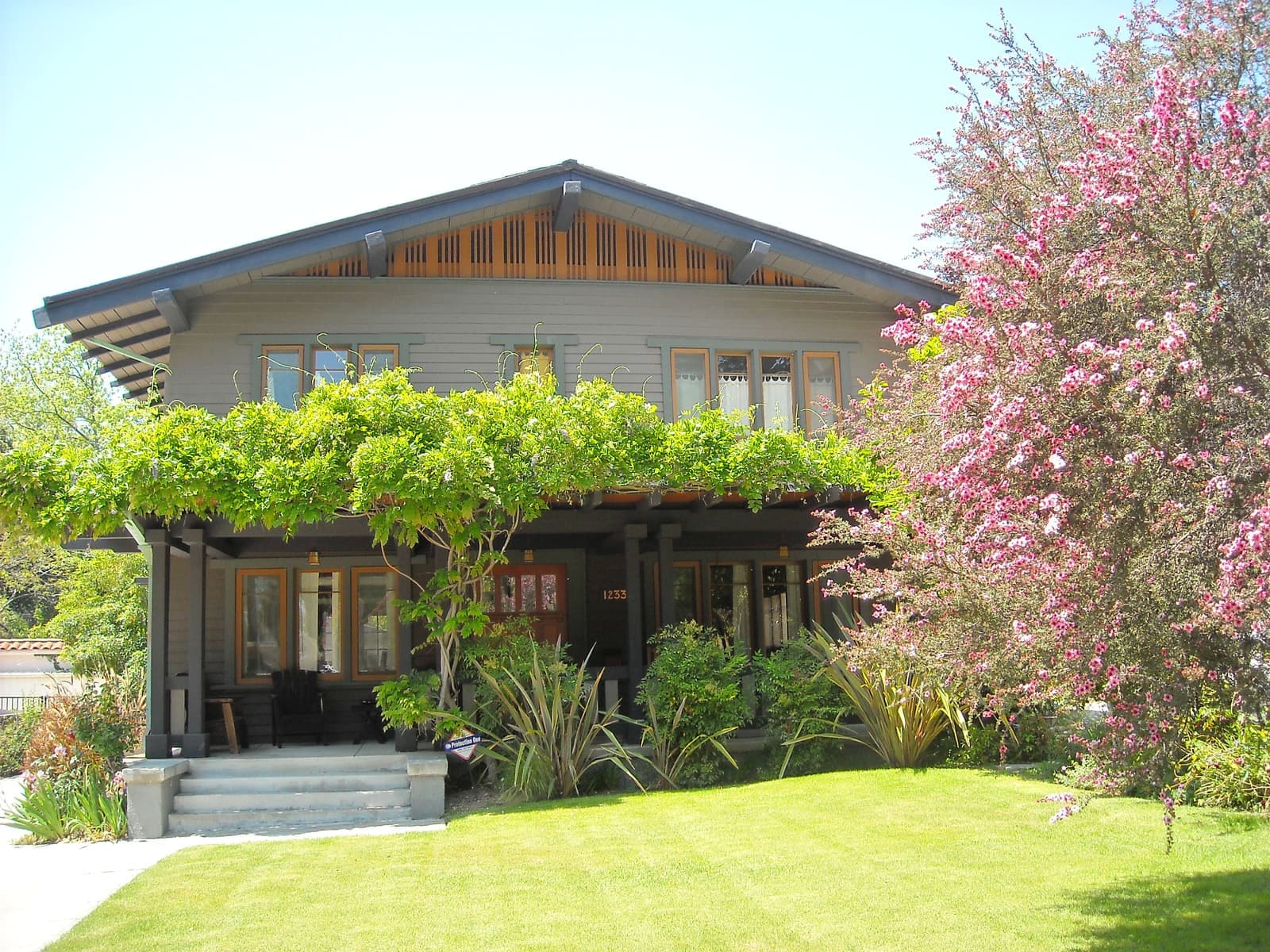
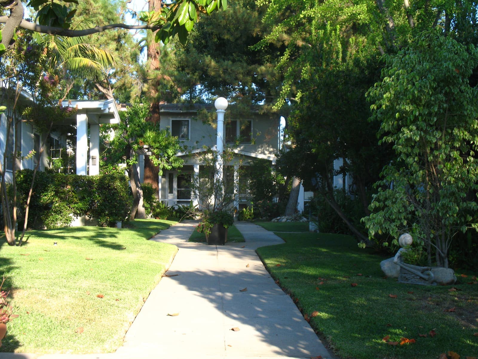
The Glendale side of Montrose is a grid of flat blocks between Honolulu Avenue and Broadview Drive, running east past Sparr Boulevard and Clifton Place to Verdugo Road. Houses date from the townsite's early decades through the post-war years. There are bungalows and cottages from the 1910s and 1920s and Period Revival houses from the 1920s and 1930s. Ranch and Minimal Traditional houses filled the remaining lots after World War II. Lots are level and modest, and garages often sit at the back off an alley or driveway.
Multi-family buildings cluster on the avenues that meet Honolulu, on Broadview Drive, and across the line on Florencita Avenue; a few units sit above or behind the shops. That mix gives Montrose more rental depth than the hillside neighborhoods to the south. South of Broadview, Sparr Heights continues the pattern; its community building was donated to the city by William S. Sparr on December 24, 1922, when it was the only building in the area.
Across the line in unincorporated La Crescenta-Montrose the houses look the same, but the rules do not. Building permits, code enforcement and road maintenance come from Los Angeles County, the Sheriff's Crescenta Valley station handles policing, and the county's fire hazard map governs. Rent rules split too: on the county side most apartments in older buildings fall under Los Angeles County's rent stabilization ordinance, which caps increases at 1.919 percent through June 30, 2027. On the Glendale side there's no local cap; state law (AB 1482) allows up to 8.7 percent from August 1, 2026, and Glendale's Rental Rights Program adds just-cause eviction and relocation money when an increase tops 7 percent in buildings of three or more units. Buyers comparing a house on Montrose Avenue with one on Broadview Drive are comparing two jurisdictions.

Start with which side of the city line the parcel is on, then look at the fire and flood maps.
First, the address. Ask which jurisdiction the parcel is in and confirm it with the county assessor's map, because the annexation line zigzags along Honolulu Avenue and around Verdugo Road. East of Verdugo Road north of Honolulu the city is La Cañada Flintridge. Schools do not change with the line. Glendale Unified assigns the streets around the Shopping Park on both sides of it to Fremont Elementary, Rosemont Middle and Crescenta Valley High, including the 2200 to 2599 blocks of Honolulu Avenue, Florencita Avenue, Glencoe Way, Sparr Boulevard, Broadview Drive and the lower blocks of Ocean View Boulevard.
Second, fire. CAL FIRE released Glendale's updated Fire Hazard Severity Zone map on March 24, 2025. The map is patchier than people expect. Points we checked on the Shopping Park blocks of Honolulu Avenue and on Broadview Drive west of Ocean View came back unzoned or Moderate, but Broadview east of Ocean View, the lowest blocks of Ocean View Boulevard and Sparr Heights came back Very High, and the county side north of Honolulu mixed Moderate and unzoned. The San Gabriel foothills above La Crescenta and the Verdugo slopes to the south are Very High. Unincorporated blocks follow the state's map for county land, not Glendale's. A Very High parcel carries 100 feet of defensible space, annual inspections and AB 38 disclosure at sale.
Third, water. The 1934 flood is why the valley is laced with debris basins and concrete channels, and FEMA now maps the sampled Montrose streets as Zone X, minimal flood hazard. Still, look at where the nearest channel runs and how the lot drains. The houses are 1910s to 1950s, so the inspection is the usual one: foundation, plumbing, electrical, roof, permits.

Lots here are flat and modest, so most of what you pay for is the walk to Honolulu Avenue.
In Montrose you pay for the walk to Honolulu Avenue. As of September 2026 only a handful of houses were listed near the village, asking about $950,000 to $2.1 million, with townhouses and condos under $1 million. A house within a few blocks of Honolulu Avenue trades on the Sunday market, the bookstore, the restaurants and the Christmas parade as much as on square footage. Because the lots are flat and modest, the spread within the Glendale side is narrower than in the hillside neighborhoods, and condition and updates move price more than views do.
The blocks between Honolulu and Broadview and the streets around Sparr Boulevard sit at the top of the Glendale side. Apartments and condos on the side avenues set the entry point and give the area its rental market. Across the line, unincorporated La Crescenta-Montrose runs on the same schools and the same ZIP code, so buyers often shop both sides and let jurisdiction, not price, decide.
The listings on this page cover only the mapped Glendale side. On any house, on either side, I check the jurisdiction first, then the fire zone, the nearest flood channel and the age of the systems.
The 210 and the 2 meet just east of the village.
Daily life happens on Honolulu Avenue. The Harvest Market runs every Sunday, and Once Upon A Time has sold children's books since 1966. Casa Córdoba and Montrose Bowl share a block, and the Glendale branch library is at the west end. The association's calendar adds the Arts and Crafts Festival, a car show, a film festival, Halloween on the avenue, and the Montrose-Glendale Christmas Parade on the first Saturday of December.
For the region, the 210 Foothill Freeway runs along the north side of the valley, with exits at Ocean View Boulevard and at Pennsylvania and La Crescenta avenues. Its first section opened between Ocean View and Lowell Avenue in July 1972. The 2 Glendale Freeway ends at the 210 just east of Montrose, and its last segment from the 134 opened in 1975, so downtown Glendale is a straight run south. USC Verdugo Hills Hospital is on Verdugo Boulevard at the east end of the avenue, and Descanso Gardens is a short drive into La Cañada Flintridge.
3 active rentals in the mapped area
Partly. Glendale annexed Montrose block by block between 1951 and 1955, and the line stopped roughly at the rear of the lots on the north side of Honolulu Avenue. Most of the Montrose Shopping Park, the branch library and the streets south to Broadview Drive are in the City of Glendale. Montrose Avenue, Florencita Avenue and the blocks north to Foothill Boulevard are unincorporated La Crescenta-Montrose. The Census Bureau defines that community as the parts of the valley not inside Glendale or La Cañada Flintridge. Both sides share the 91020 ZIP code, the Montrose-Verdugo City Chamber of Commerce and Glendale Unified schools.
The facts in this guide (districts, zones, rules) come from the official records below. We re-check them before property tours.