





Huntington Harbour asks 23% less than Huntington Beach as a whole.
Huntington Beach, California · Neighborhood guide
Huntington Harbour
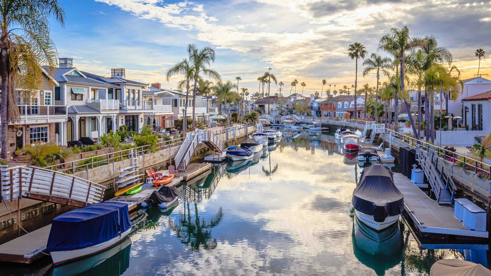
Five dredged islands at the north end of Huntington Beach, with the boat tied up behind the house
Median askingHuntington Harbour$1000K3 for sale
See homesHuntington Harbour, in short.
Huntington Harbour is the boating neighborhood in the northwest corner of Huntington Beach, dredged out of the Sunset Bay estuary starting in 1963. It covers 1.4 square miles, with five man-made islands (Admiralty, Davenport, Gilbert, Humboldt and Trinidad), more than 500 bayfront homes and over 3,000 private boat slips. Boats reach the ocean through Anaheim Bay, past the Seal Beach naval weapons station. Most houses date from the mid-1960s to about 1980. As of September 2026, houses were listed from about $1 million to $11 million and condos from about $350,000 to $1 million. The water comes with FEMA flood zones and aging seawalls, and the city is already planning for sea-level rise.
Huntington Harbour by the numbers.
- 12,305Population
- 49%Bachelor's degree or higherage 25+
- $124,642Median household income
- 50.7Median age
- 1963Construction beganAbout $200 million to build
- 5Man-made islandsPlus natural Sunset Island
Sources: U.S. Census Bureau, ACS 5-year 2019–2023; neighborhood facts compiled by The Slava House.
A harbor built from an estuary
Five man-made islands at the north end of Huntington Beach, dug out of an estuary in the 1960s.
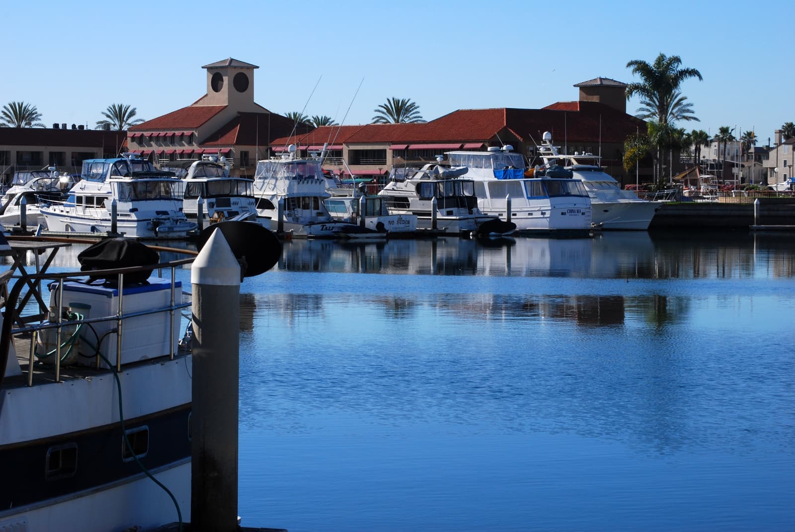
Huntington Harbour sits in the northwest corner of Huntington Beach, between Pacific Coast Highway, Warner Avenue, Bolsa Chica Street, and the Seal Beach naval weapons station. It was built in the 1960s by dredging the Sunset Bay estuary into channels and islands. The city calls it one of the largest residential harbors in California. About 7,000 people live here across 1.4 square miles.
The layout is simple once you see it from above. Five man-made islands, Admiralty, Davenport, Gilbert, Humboldt, and Trinidad, sit in a grid of channels, with natural Sunset Island and mainland waterfront streets around them. More than 500 homes front the water, and there are over 3,000 private boat slips. The channels run 15 to 20 feet deep, calm enough for kayaks and paddleboards most of the year.
There's no main street. Life runs around the water. The Huntington Harbour Mall on Algonquin Street covers groceries and dinner, and Peter's Landing on PCH adds restaurants by the marina. The yacht club on Warner Avenue has run sailing programs since 1965. The catch is exposure: the harbor sits at sea level behind seawalls, so flood maps and sea-level planning are part of any purchase here.
Live from the MLS
Huntington Harbour compared with all of Huntington Beach.
A square foot costs about the same in Huntington Harbour as across Huntington Beach.
Huntington Harbour$747
All of Huntington Beach$752
Listings in Huntington Harbour have been on the market 37 fewer days than across Huntington Beach.
What’s for sale
67% of the homes for sale in Huntington Harbour are townhouses.
- Townhouse67%2 homes
- Condo33%1 home
Homes for sale in Huntington Harbour are 19% smaller than across Huntington Beach.
Huntington Harbour1,312 sq ft
All of Huntington Beach1,629 sq ft
Each card sets the median in Huntington Harbour against all of Huntington Beach. The arrow on a card lists every Huntington Beach neighborhood we cover. Asking prices for homes on the market right now inside each mapped area, not sale prices. Updated October 3, 2026, 7:00 PM PT
Homes for sale in Huntington Harbour
3 active listings in the mapped area

Still deciding? Ask me.
I’m a Realtor based in Long Beach, and Huntington Beach is one of the cities I work most. Tell me what you’re after in Huntington Harbour and I’ll help you get there.
Slava Ploshkin · DRE #02323623English and Russian · How I work in Huntington Beach
Where to eat, shop, and explore in Huntington Harbour
The restaurants, cafes, shops, parks, and landmarks that give Huntington Harbour its everyday character, most within a short walk.
11 places
Pick one and I’ll show you where it is.
Shopping35 min walk
The shopping center on Algonquin Street, with the grocery store and restaurants the islands and the mainland use every day.
Shopping5 min walk
The waterfront center and marina at 16400 Pacific Coast Highway, with restaurants and a market beside the guest docks.
Recreation25 min walk
The club on Warner Avenue, incorporated in 1965, which has run a community sailing program and youth classes since the harbor opened.
Recreation10 min walk
The public launch ramp and marina at the harbor's northwest corner, the put-in for trailered boats and kayaks.
One of two public launch ramps in the harbor.
Park30 min walk
The mainland park on Saybrook Lane next to Harbour View Elementary. The neighborhood's fields and playground are here.
Park5 min walk
A waterfront park on Countess Drive at the north edge of the harbor, with lawn and a small beach on the channel.
Coffee35 min walk
The specialty-coffee counter at the Harbour Mall, the neighborhood's morning stop before the drive to the 405.
Restaurant35 min walk
A neighborhood restaurant and bar at the Harbour Mall, the dinner default for residents who don't want to drive.
Restaurant · Nearby10 min walk
The old-school seafood and steak house on PCH in Sunset Beach, across the highway from the harbor's south islands.
Beach · Nearby25 min walk
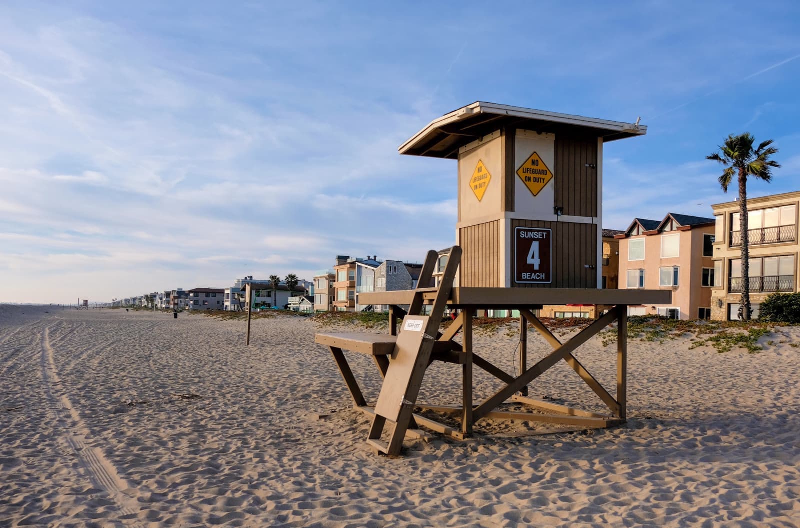
The ocean beach on the far side of PCH, a strip of sand and beach houses founded in 1904 and part of Huntington Beach since 2011.
Harbor residents cross PCH on foot for the surf; the sand is wide and rarely crowded.
Landmark · Nearby5 min walk
The converted water tower at the north end of Sunset Beach, the landmark beside the bridge where the harbor channel meets Anaheim Bay.
What it's like to live on the islands
Each island is a small tract with one or two bridges and water on every side.
The islands are connected to the mainland by bridges, so each one works like a cul-de-sac neighborhood surrounded by water. Admiralty holds about 90 single-family homes. Davenport was laid out with 227 home sites and Gilbert with 100. Humboldt, the largest, has around 335 homes. Trinidad sits at the north end, near Seabridge Park.
On every island the waterfront homes ring the outside and the interior streets sit a short walk from the docks. That makes the price ladder easy to read. A home with a slip behind it prices on the water; an interior home on the same island prices on the neighborhood. Coral Cay, a gated enclave on the mainland side, works the same way behind a gate.
December belongs to the boat parade. The Huntington Harbour Boat Parade, run entirely by volunteers of the Huntington Harbour Philharmonic Committee, holds its 64th edition on December 12 and 13, 2026. The committee's Cruise of Lights takes visitors by boat past the decorated waterfront homes, and it is the committee's main fundraiser.
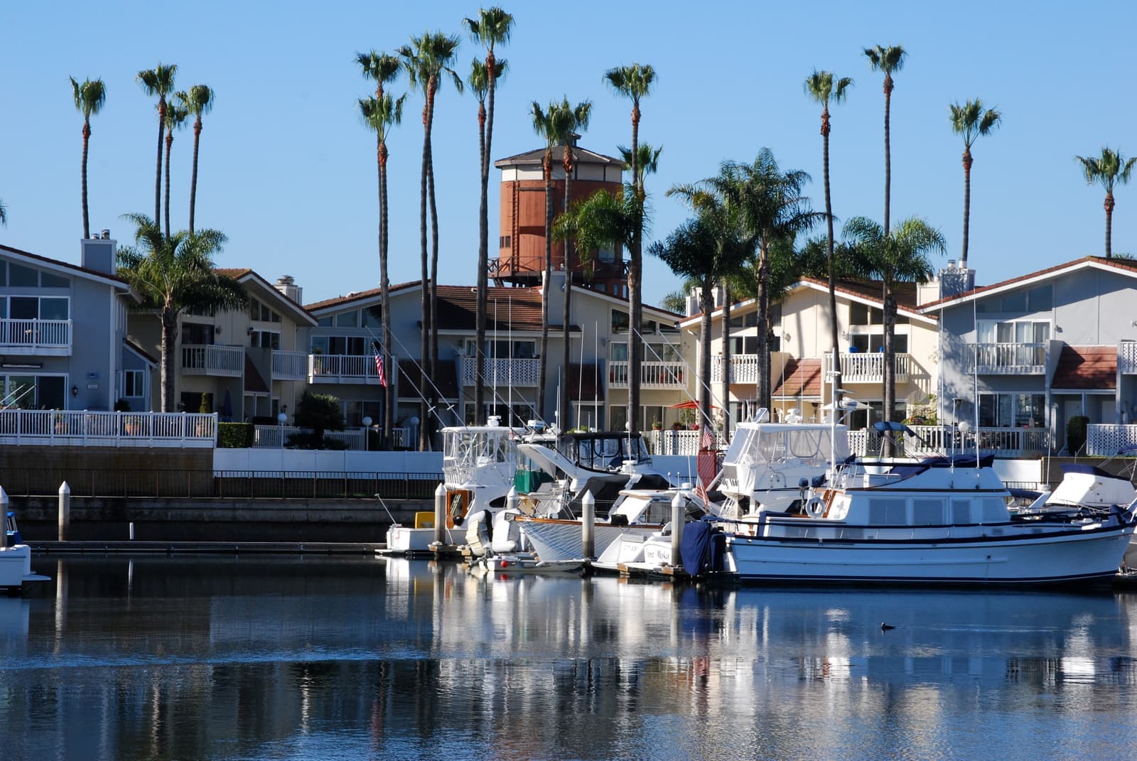
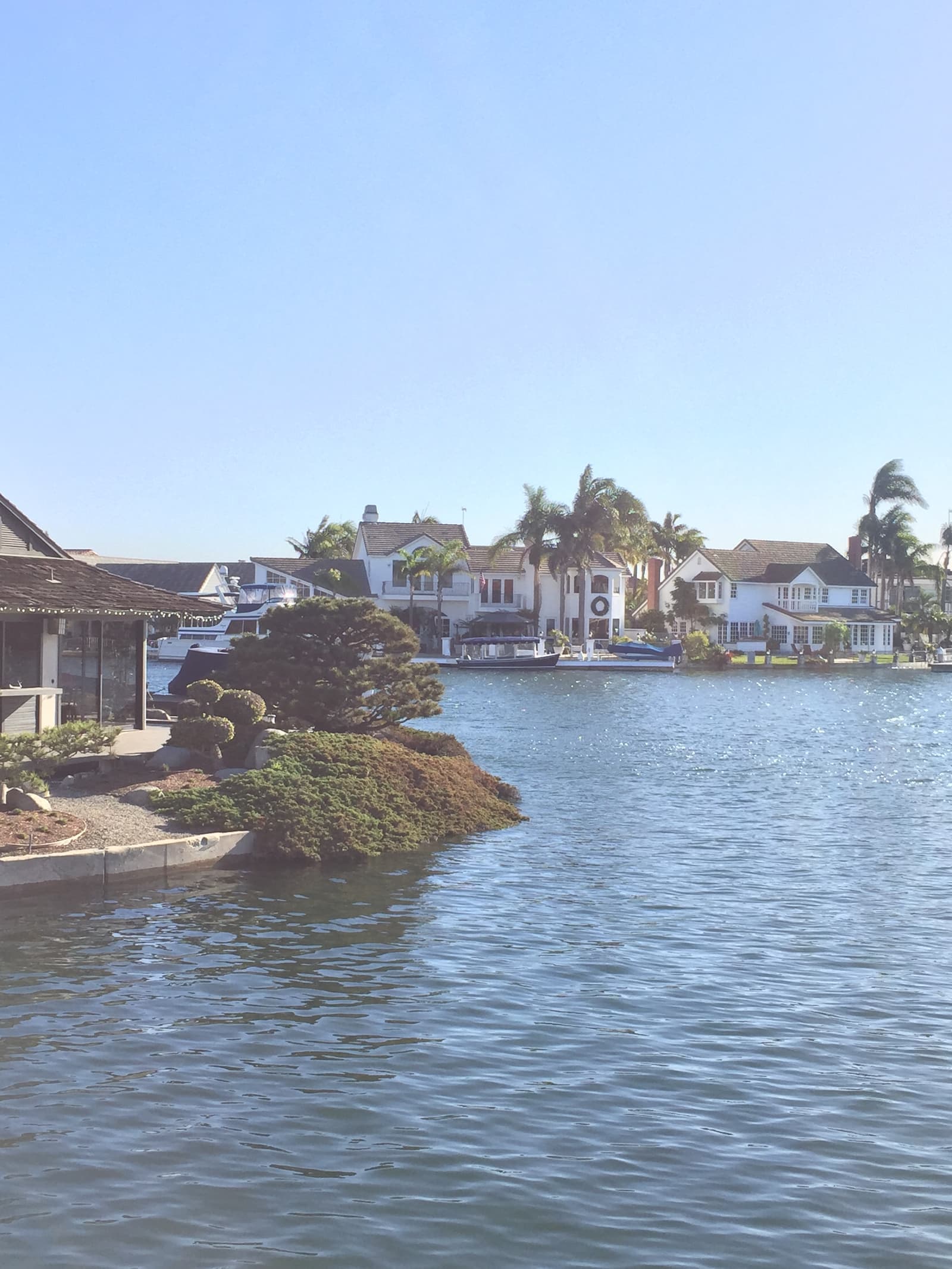
- Five bridged islands, each a small tract with waterfront and interior streets
- Admiralty about 90 homes, Gilbert 100 sites, Davenport 227 sites, Humboldt about 335 homes
- The December boat parade and Cruise of Lights run past the waterfront homes
From Sunset Bay to a dredged harbor
A 1960s development on a former estuary, with a naval base for a neighbor.
Before the harbor there was Sunset Bay, a tidal estuary behind the barrier beach that became Sunset Beach, a town founded in 1904. Construction of Huntington Harbour began in 1963 and cost about $200 million. The developer was Christiana Oil Corporation under Lewis 'Pete' Douglas Jr., who named Davenport Island after his residential college at Yale. Douglas stepped down in 1964, and later islands, including Trinidad, were built by other developers.
The harbor's water connection was shaped by the Navy. Boats leave through Anaheim Bay, whose entrance the Navy widened in 1944 for the Seal Beach station. The channel into the harbor is 164 feet wide and 13 feet deep. Every trip to the ocean still passes the weapons station and the national wildlife refuge inside it.
The community's institutions date from the first years. The Huntington Harbour Yacht Club was incorporated in 1965, and the boat parade has run every December since the harbor's earliest years. Sunset Beach stayed a county pocket until Huntington Beach annexed it in August 2011. The city created a Harbour Commission in December 2018, the first formal body to advise the council on the harbor's seawalls, safety, and water quality.
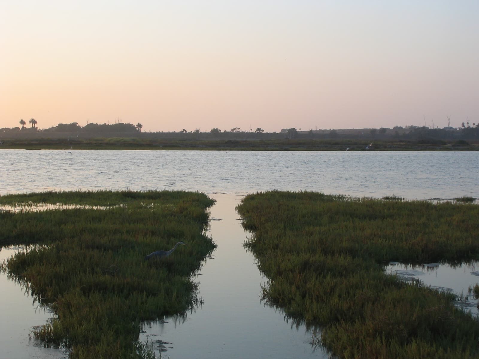
- Sunset Beach founded 1904; the harbor dredged from the Sunset Bay estuary from 1963
- Ocean access through Anaheim Bay, widened by the Navy in 1944
- Yacht club 1965; Sunset Beach annexed 2011; Harbour Commission created 2018
The channels and the run to the ocean
Flat water at home, and a naval channel between you and the open ocean.
Inside the harbor the water is flat and shallow, 15 to 20 feet deep. The city notes that keeps it a few degrees warmer than the ocean in summer. On a normal evening you'll see kayaks, paddleboards, sailboats and sunset cruises out. The harbor has four public beaches and two public launch ramps, including the Sunset Aquatic Marina ramp at the northwest corner. It also has its own fire station and a marine safety rescue-boat station.
Getting to open water takes planning. The route runs under the PCH bridge at the north end of Sunset Beach and into Anaheim Bay. From there it passes the Seal Beach naval weapons station and exits between the breakwaters. The channels need maintenance dredging. In 2015 the County of Orange and the city jointly permitted dredging of up to 248,000 cubic yards from the navigation channels, with eelgrass mitigation as a condition.
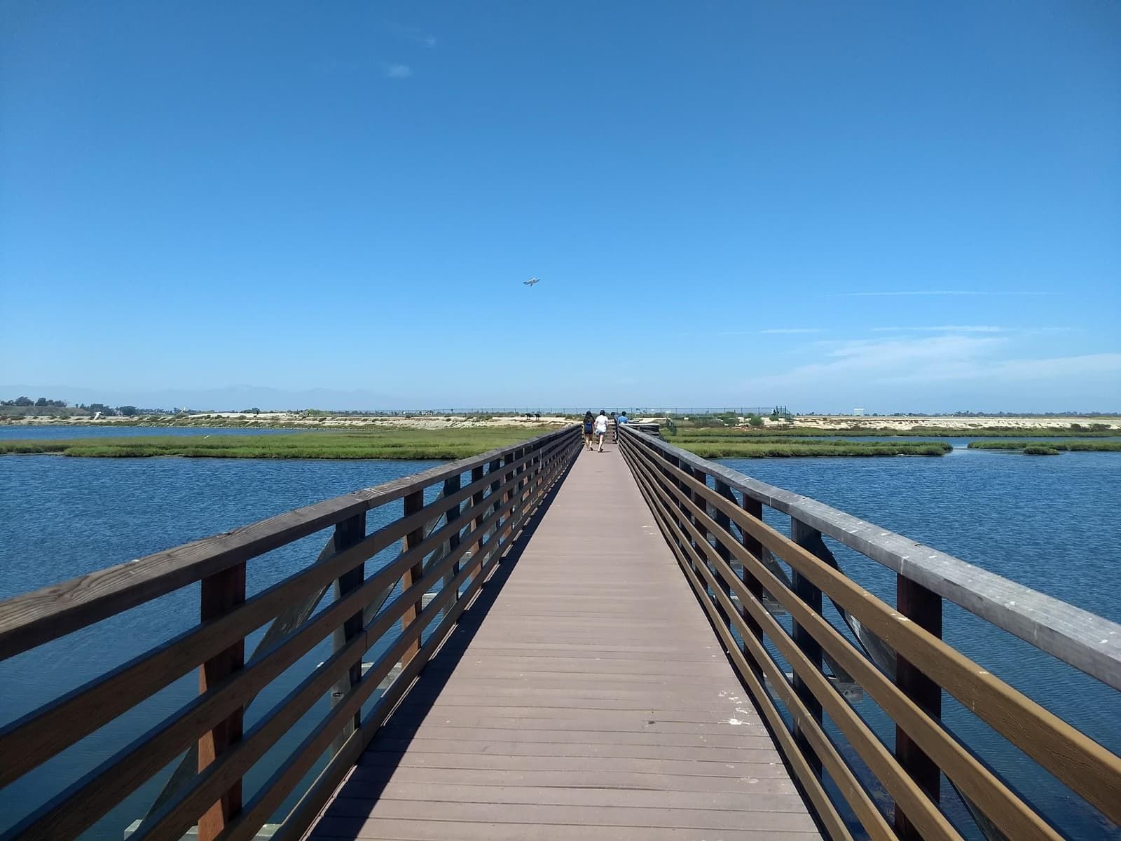
The ocean itself is a walk away. Sunset Beach, the strip of sand and beach houses across PCH, is the harbor's ocean beach. South of Warner Avenue is the Bolsa Chica Ecological Reserve, restored in a $110 million project finished in 2006. That's where people here go for a flat walk and the birds.

- Calm 15-to-20-foot channels; four public beaches and two launch ramps
- Ocean access through Anaheim Bay past the naval weapons station
- Sunset Beach across PCH; Bolsa Chica wetlands south of Warner
Houses on the water, and the ones a block back
1960s-and-later homes, priced by what sits behind them.
The typical harbor house is a single-family home on an island or a mainland channel with a private dock at the back. Most of the houses for sale in September 2026 were built between 1964 and 1980, and many have been rebuilt or expanded since. The streets mix original ranch houses with newer two-story homes. The waterfront ring on each island is where the largest homes and the docks are.
Interior homes on the islands and in the mainland tracts get the same streets, schools and bridges, just no dock. That's where the value is. On the mainland side there are also condos and townhomes in channel-front complexes with shared docks and pools, the usual way into the harbor without a house budget. The cheapest way in is a manufactured home in the park on Monterey Lane near Edinger Avenue, where homes were listed from about $156,000 to $349,000 in September 2026; they sit on park land, so read the space rent and park rules before you compare them with a condo.
Any waterfront lot here comes with two headaches of its own. The seawall or bulkhead that holds the lot is the owner's asset and the owner's problem, and the city's Harbour Commission exists partly because seawalls are aging. And dock work is regulated work. The city issues permits for building and repairing docks inside the harbor limits, and in-water construction on tidelands falls under the California Coastal Commission.

- Waterfront single-family homes with private docks are the main draw
- Interior homes and mainland condos are the lower entry points
- Seawalls and docks carry their own inspections and permits
What sets prices in the harbor
Water frontage first, then the island, then everything else.
Frontage decides the top of the market. As of late September 2026, houses in the mapped harbor were asking from about $1 million for small-lot homes in association tracts to about $11 million on the water. A house with a dock on an open channel or a main-channel view sits above a house on a narrow side channel, and both sit above an interior home on the same island. The gated streets of Coral Cay trade on privacy.
Below that come interior single-family homes on the islands and mainland, then condos and townhomes on the channels. Dock capacity matters to price even when the buyer doesn't own a boat, because the next buyer might. A slip that fits a larger boat is worth more than one that only takes a skiff.
Compare by frontage type, never by the neighborhood average. A waterfront home and an interior home a block away can be several million dollars apart.
- Open-channel frontage and big docks sit at the top
- Interior homes and channel condos are the entry tiers
- Compare by frontage type; dock size moves price
Flood maps and seawalls
The fine print that matters more here than anywhere else in the city.
The FEMA map comes first. A 2010 letter of map revision put the harbor's channels in flood zone AE and the non-submerged waterfront lots in shaded zone X. The March 21, 2019 coastal flood maps then revised the Huntington Harbour and Sunset Beach boundaries again. Affected properties went into a Special Flood Hazard Area designated AE or VE. Properties in those zones need flood insurance with any federally backed mortgage, so pull the current map for the exact parcel.
Then read what the city says about the future. Its Coastal Resiliency Program, built on a 2014 vulnerability assessment, used 0.4 to 2.0 feet of sea-level rise by 2050 to map hazards. It found that 2050 projections 'would likely overtop long reaches of the seawalls and bulkheads lining Huntington Harbour'. It expects tidal flooding of homes around the harbor and Sunset Beach during king tides, and it lists numerous residential streets here as vulnerable. The city's Local Coastal Program update proposes adding sea-level-rise standards to its floodplain ordinance.
Last come the structures. I'd have the seawall, dock and pilings inspected the way you'd inspect a roof, pull the permits for any dock work, and on a condo find out exactly what the HOA covers. The harbor is in the Coastal Zone, so additions and rebuilds can need a coastal development permit, and in-water work goes to the Coastal Commission. If you plan to rent, the harbor is outside Sunset Beach, so the city only permits hosted short-term rentals here (owner on site). Whole-home vacation rentals across PCH in Sunset Beach run only on permits issued before March 1, 2022.
Getting around from the harbor
Close to the 405 and Long Beach, farther from the rest of Huntington Beach.
Huntington Harbour is the part of Huntington Beach that looks toward Long Beach and the 405 rather than toward downtown. Bolsa Chica Street reaches the 405 in about four miles, and downtown Long Beach is roughly ten miles. John Wayne Airport is about twelve miles and half an hour in light traffic. LAX is a little over thirty miles. The Huntington Beach pier is about five miles down PCH.
Inside the neighborhood, most errands happen at the Harbour Mall or across PCH in Sunset Beach. Plenty of people get around on a bike or on foot along the channels, and some by boat. OCTA's Route 1 bus runs the length of Pacific Coast Highway past the harbor between Long Beach and San Clemente.
More Huntington Harbour facts
- 3,000+Private boat slipsBehind more than 500 bayfront homes
- 1.4 sq miHarbor areaChannels 15 to 20 feet deep
- 64th in 2026Boat paradeDecember 12-13, with the Cruise of Lights
- 92649ZIP codeHuntington Beach





Questions & answers
Yes, if you want a boat, or at least the water, at the back door. The channels are calm, the islands are quiet bridged tracts, and the yacht club has run sailing programs since 1965. The December boat parade, run by volunteers since the harbor's first years, holds its 64th edition in 2026. What comes with a dredged harbor: FEMA flood zones, aging seawalls that owners maintain, and coastal permits for dock work. City planning also finds that 2050 sea-level projections would overtop long stretches of the bulkheads, so price the seawall into any waterfront offer.
Explore near Huntington Harbour
0.4 mi awaySunset BeachA mile of beach houses on PCH that stayed a county town until Huntington Beach annexed it in 2011Read the guide ›3.4 mi away · Long BeachThe PeninsulaA mile-long sandspit between the ocean and Alamitos Bay, where front doors open onto a 1920s boardwalk instead of a streetRead the guide ›3.5 mi away · Long BeachNaplesThree canal islands in Alamitos Bay, built from 1905, and some of the priciest homes in Long BeachRead the guide ›4.3 mi away · Long BeachBelmont ShoreSmall old houses around Second Street, a few minutes' walk from flat waterRead the guide ›4.4 mi awaySeacliffLate-1980s and 1990s tracts around a golf course, built on the old oil field above the beachRead the guide ›5.0 mi away · Long BeachBelmont HeightsCraftsman bungalows on the rise above Belmont Shore, with a local main street on BroadwayRead the guide ›

Where we check the facts
The facts in this guide (districts, zones, rules) come from the official records below. We re-check them before property tours.
- Flood Information (City of Huntington Beach)huntingtonbeachca.gov2010 Huntington Harbour map revision, 2019 coastal FIRMs, flood-insurance rule
- Local Coastal Program Update (City of Huntington Beach)huntingtonbeachca.govsea-level-rise vulnerability assessment and floodplain standards
- Harbour Commission (City of Huntington Beach)huntingtonbeachca.govseawalls, water quality, and harbor history
- Public Works Development Services (City of Huntington Beach)huntingtonbeachca.govdock construction and repair permits
- Short-Term Rentals (City of Huntington Beach)huntingtonbeachca.govhosted-only rentals in the harbor; Sunset Beach un-hosted permits closed March 1, 2022
- Huntington Harbour Boat Paradehhboatparade.org64th parade, December 12-13, 2026
Show all 15 sourcesShow fewer
- California Coastal Commissioncoastal.ca.govpermits for in-water work and channel dredging
- Ocean View School Districtovsd.orgTK-8 schools and attendance boundaries
- Huntington Beach Union High School Districthbuhsd.eduhigh schools, including Marina High
- FEMA Flood Map Service Centermsc.fema.govflood zones by address
- California State Lands Commission staff report 51 (October 24, 2019)slcprdwordpressstorage.blob.core.windows.netMain Channel dock lease: sovereign land, 10-year term, annual rent, pierhead line 60 feet into a 400-foot channel
- California Coastal Commission staff report 5-23-0543 (December 2023)documents.coastal.ca.govdocks over public waters, pierhead lines on tract maps, no city dock lease program
- Harbor Application / Permit (City of Huntington Beach, PDF)cms3.revize.comMunicipal Code 13.36.080, mooring and the pierhead line
- Short-Term Rentals FAQ (City of Huntington Beach, PDF)cms3.revize.comhosted stays at a primary residence, CC&Rs rule
- CRMLSgo.crmls.orgactive listings and HOA dues, September 2026
Photo credits (7)
- Homes with their own boat docks on a Huntington Harbour channelTracie Hall, CC BY-SA 2.0
- Waterfront homes and palms across a calm Huntington Harbour channelakf2006, Public Domain Mark 1.0
- Yachts moored under red tile roofs at the north end of Huntington HarbourTracie Hall, CC BY-SA 2.0
- The Bolsa Chica salt marsh next door, like the estuary the harbor was dredged fromDHN, CC BY-SA 3.0
- The Bolsa Chica lagoon, across Warner Avenue from the harborWolfgang Sauber, CC BY-SA 3.0
- A waterfront home with its own dock and seawall on a Huntington Harbour channelakf2006, Public Domain Mark 1.0
- The footbridge across the Bolsa Chica wetlands, a flat walk just south of the harborCENtury101%, CC BY-SA 4.0