





Sunset Beach asks 2.5 times as much as Huntington Beach does as a whole.
Huntington Beach, California · Neighborhood guide
Sunset Beach
A mile of beach houses on PCH that stayed a county town until Huntington Beach annexed it in 2011
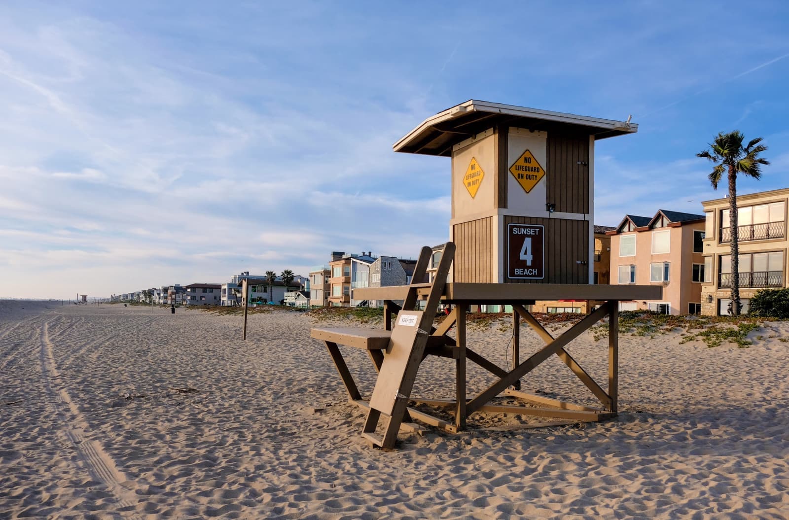
Median askingSunset Beach$3.2M5 for sale
See homesSunset Beach, in short.
Sunset Beach is a narrow beach town on Pacific Coast Highway at the northwest edge of Huntington Beach, a little over a mile long between Surfside and Warner Avenue, with the ocean on one side and Huntington Harbour on the other. It dates to 1904 and stayed an unincorporated county area until Huntington Beach annexed it in 2011. The 2010 census counted 971 residents and 641 housing units. Houses sit on small lots near the sand, a 14-acre greenbelt runs the length of town, and there's no home mail delivery. In late September 2026, three homes were listed, asking about $2.1 million to $7.2 million.
Sunset Beach by the numbers.
- 863Population
- 46%Homeowner-occupiedoccupied homes
- 63%Bachelor's degree or higherage 25+
- $6,450/moMedian asking rentCurrent MLS listings
- $124,934Median household income
- 52.5Median age
Sources: U.S. Census Bureau, ACS 5-year 2019–2023; neighborhood facts compiled by The Slava House.
A beach town squeezed between the ocean and the harbor
Where Sunset Beach starts and stops, and how it's laid out.
Sunset Beach is the thin strip of Huntington Beach along Pacific Coast Highway between Surfside, the gated colony at the edge of Seal Beach, and Warner Avenue, where Bolsa Chica State Beach begins. It's a little over a mile long. The ocean and a very wide beach are on one side, Huntington Harbour is on the other, and PCH runs down the middle.
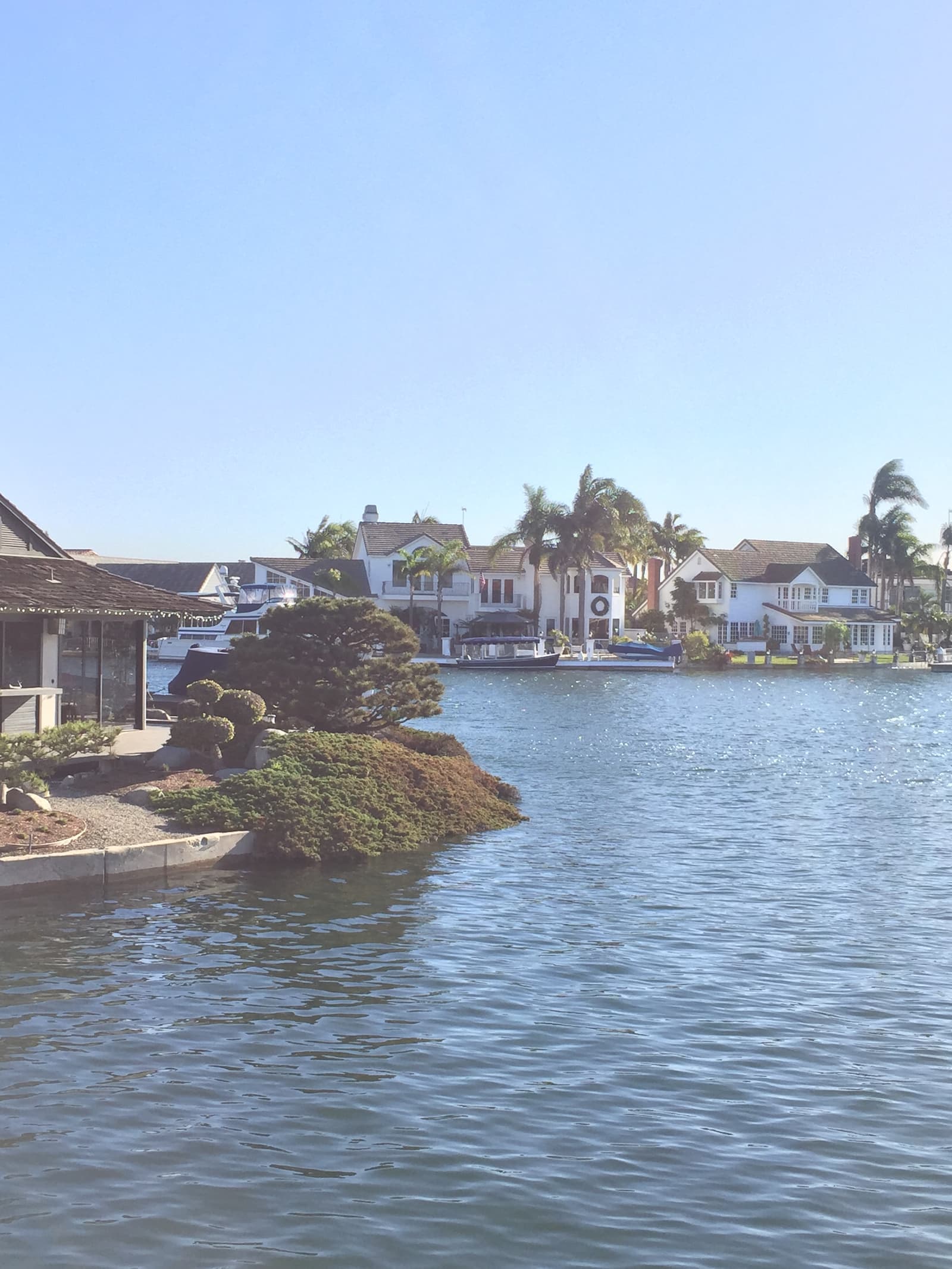
Start at the sand and walk inland. A row of houses faces the beach along Pacific Avenue, short numbered streets run back from it, and a greenbelt park runs the length of town. PCH carries the restaurants, bars, and motels. On the harbor side of the highway, the old census boundary also takes in a strip of houses on the water facing Huntington Harbour's islands.
It's small. The 2010 census, the last count before annexation, found 971 residents and 641 housing units on about 0.19 square miles of land, and of the occupied homes 41 percent were owner-occupied. Mail doesn't come to the door. Residents use post office boxes, a quirk the Los Angeles Times noted when the town was annexed.

Live from the MLS
Sunset Beach compared with all of Huntington Beach.
A square foot in Sunset Beach costs 2.5 times as much as across Huntington Beach.
Sunset Beach$1,857
All of Huntington Beach$752
Listings in Sunset Beach have been on the market 7 fewer days than across Huntington Beach.
What’s for sale
60% of the homes for sale in Sunset Beach are multi-unit buildings.
- Multi-unit60%3 homes
- Single-family40%2 homes
Homes for sale in Sunset Beach are 40% bigger than across Huntington Beach.
Sunset Beach2,280 sq ft
All of Huntington Beach1,629 sq ft
Each card sets the median in Sunset Beach against all of Huntington Beach. The arrow on a card lists every Huntington Beach neighborhood we cover. Asking prices for homes on the market right now inside each mapped area, not sale prices. Updated October 3, 2026, 11:00 PM PT
Homes for sale in Sunset Beach
5 active listings in the mapped area
$3,198,000
Apartment
17094 5th Street
$1,950,000
Duplex
17101 4th A & B
$2,100,000
Multi-Family1 bd1 ba1,131 sqft
16732 Pacific Coast Highway
$3,595,000
Single-Family2,280 sqft
17025 S Pacific Avenue
$7,249,000
Single-Family4 bd4 ba3,795 sqft
17027 S Pacific Avenue

Still deciding? Ask me.
I’m a Realtor based in Long Beach, and Huntington Beach is one of the cities I work most. Tell me what you’re after in Sunset Beach and I’ll help you get there.
Slava Ploshkin · DRE #02323623English and Russian · How I work in Huntington Beach
Where to eat, shop, and explore in Sunset Beach
The restaurants, cafes, shops, parks, and landmarks that give Sunset Beach its everyday character, most within a short walk.
9 places
Pick one and I’ll show you where it is.
Beach5 min walk
The middle of the beach, in front of the houses along Pacific Avenue. The sand here is some of the widest in Southern California.
Beach15 min walk
The south end of town at Warner Avenue, where the sand runs on into Bolsa Chica State Beach.
Restaurant15 min walk
The diner on Pacific Coast Highway at the north end of town, near Anderson Street.
Restaurant15 min walk
A second diner a few doors down PCH, on the ocean side at the north end.
Restaurant5 min walk
The seafood and steak house on PCH founded by surfer Jack Haley Sr.
Landmark · Nearby15 min walk
The water tower turned house at 1 Anderson Street, the landmark at the north end of town.
Recreation · Nearby20 min walk
The public launch ramp on the harbor just north of town, the closest place to put a boat in the water.
Coffee · Nearby25 min walk
A coffee shop on Algonquin Street, across the harbor in the Huntington Harbour shops.
Beach · Nearby15 min walk
The north end of the state beach that picks up where Sunset Beach ends, just south of Warner Avenue.
The Bolsa Chica wetlands are across PCH a little farther south, with trails and a lot of shorebirds.
How Sunset Beach became part of Huntington Beach
Founded in 1904, it held out as a county beach town for more than a century, until 2011.
Sunset Beach was established in 1904 and grew after oil was found in the Huntington Beach field in 1920. For more than a hundred years it was unincorporated Orange County land, with its own community association and, since 1982, a county-created board to review how its specific plan was carried out.
The town tried to become its own city, but the county's Local Agency Formation Commission found it didn't have the tax base, and Seal Beach turned down annexing it. Huntington Beach's council voted 5 to 2 in August 2010 to annex Sunset Beach, and LAFCO approved it that December. A group of residents sued over the city taxes that would come with annexation, including a 5 percent utility users tax, but the annexation went through in August 2011.
The deal came with promises. Huntington Beach agreed to let Sunset Beach keep its name and its own parking and beach rules and to leave the greenbelt alone. The review board still exists: the city says it continues to advise on the Sunset Beach Specific Plan and meets at the Nobles Family Community Center on 12th Street.
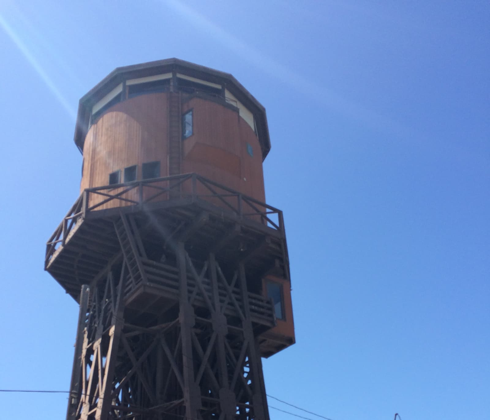
- 1904: Sunset Beach established
- August 2010: Huntington Beach votes 5-2 to annex; LAFCO approves in December
- August 2011: annexation complete
Houses on small lots that rarely come up for sale
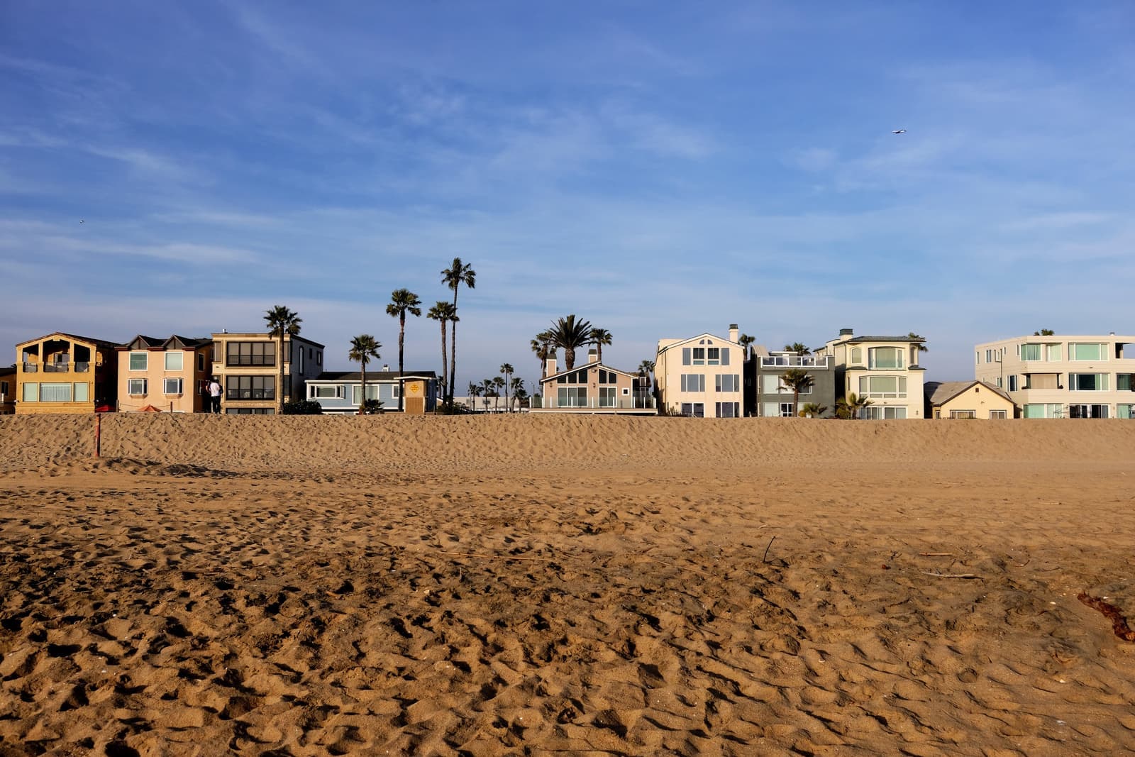
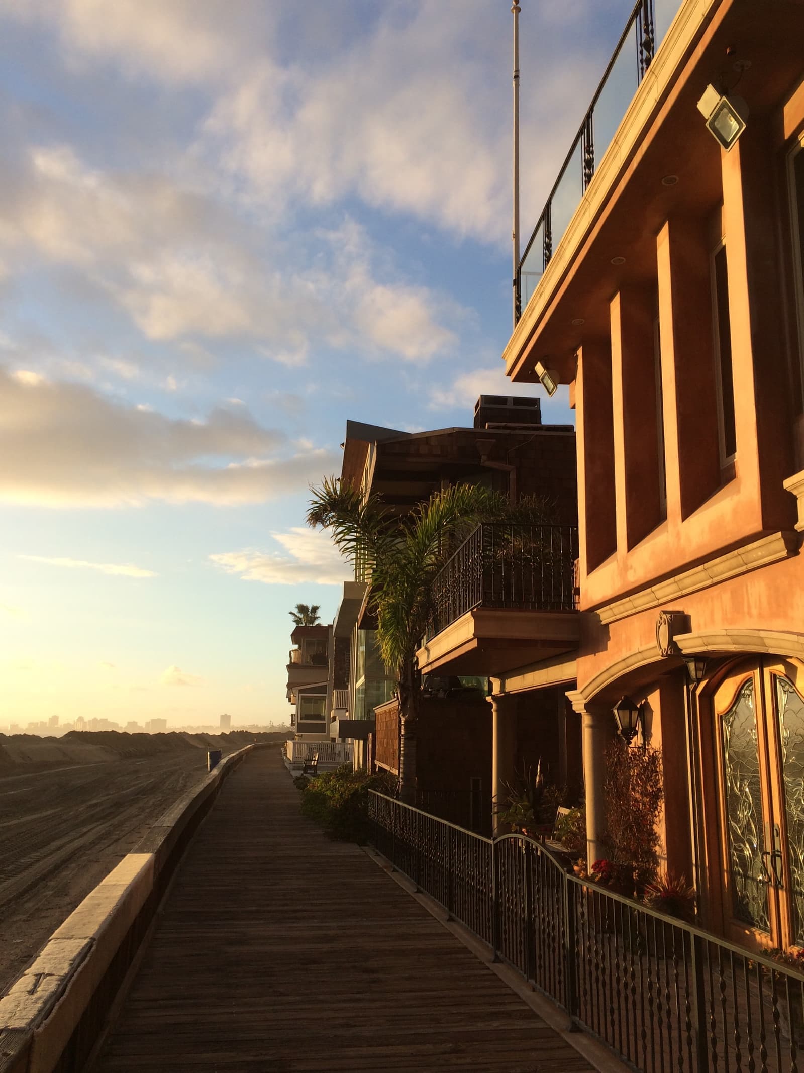
A row of houses faces the sand, and cottages and rebuilds fill the blocks behind it.
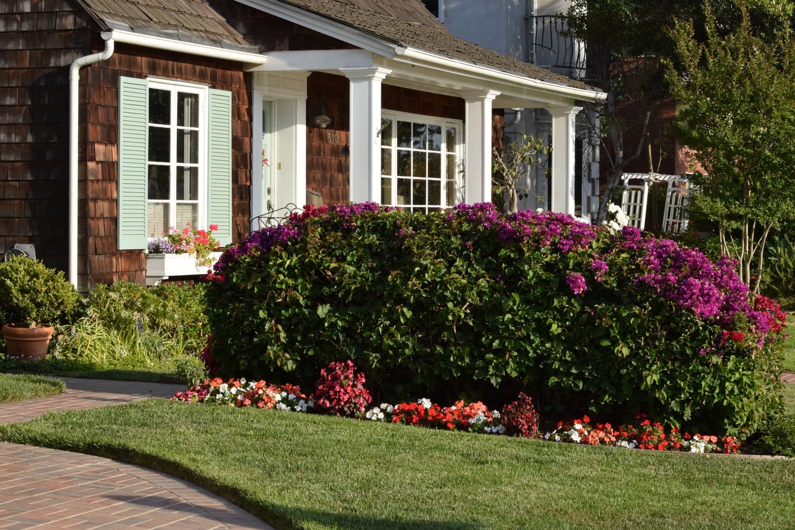
Houses here are close together on small lots. The front row faces the beach along Pacific Avenue, the inside blocks mix older cottages with newer two- and three-story rebuilds, and a few houses sit on the harbor side of PCH with the water behind them.
Not much sells in a given month. When I pulled listings for our mapped area in late September 2026, there were three: a 1938 cottage listed as income property at about $2.1 million, a house built in 2026 at about $3.6 million, and a larger 2007 house at about $7.2 million. Lots ran from about 2,250 to 3,400 square feet. With so few listings, one home coming or going swings the numbers, so price off recent sales instead.
Renters are a big part of town. In the 2010 census, 59 percent of occupied homes were rented, so expect rentals and small multi-unit buildings on most blocks.
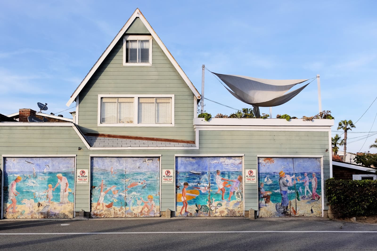
- One row of houses on the sand; cottages and rebuilds behind it
- Three active listings in late September 2026, about $2.1M to $7.2M
- Most occupied homes were rentals in the 2010 census
The greenbelt and the beach
What a normal week looks like in a town of about a thousand people.
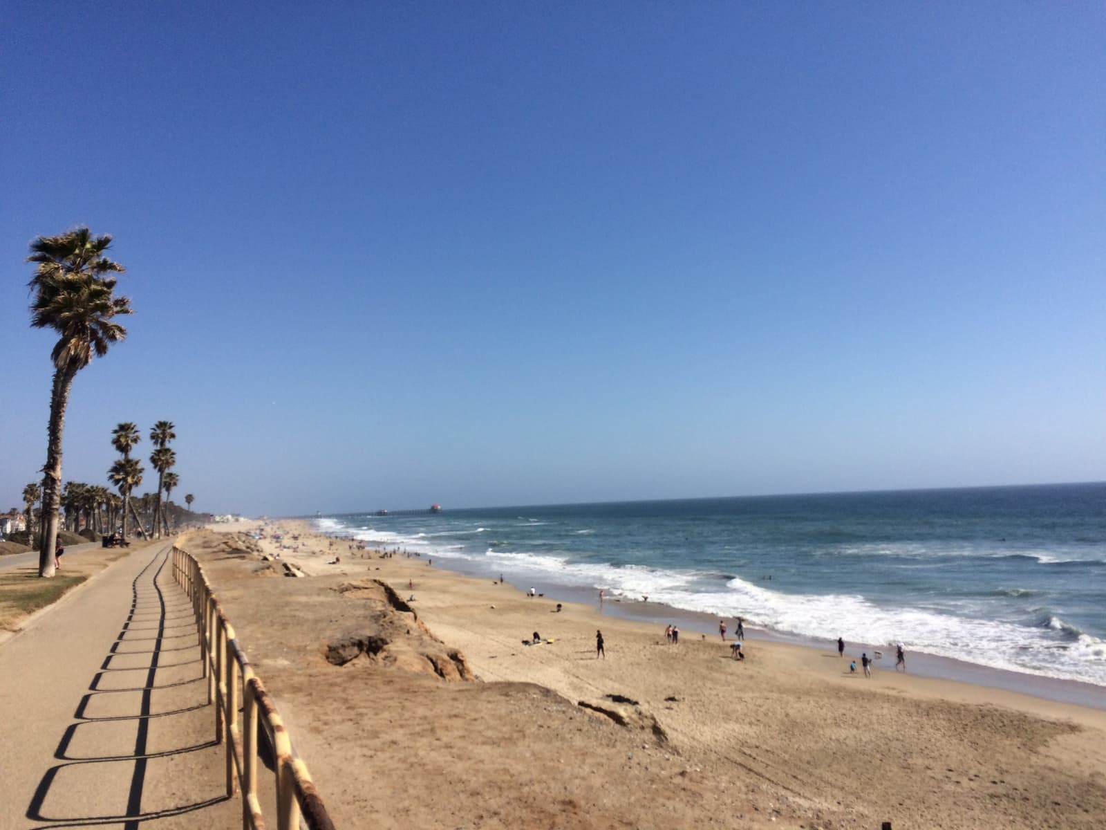
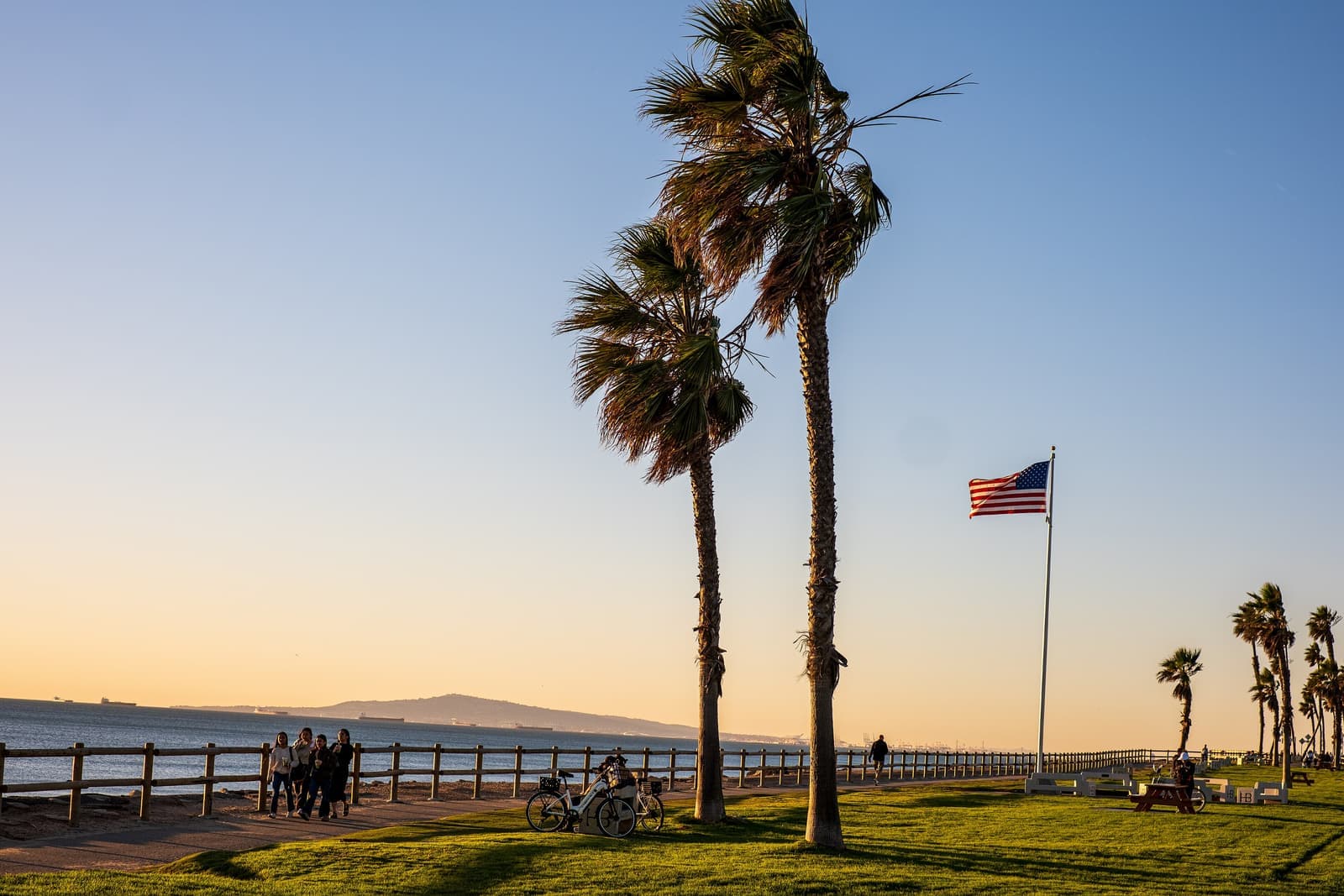
The beach is the reason people live here. It's one of the widest in Southern California, and when the Los Angeles Times profiled the town in 2011 it described the beach as uncrowded. Surfers use it too.
The greenbelt is the town square, a 14-acre park that runs parallel to the beach from one end of town to the other, and community events happen there. The Sunset Beach Art Festival, held every Mother's Day weekend, started in 1948 as the Beachcomber's Carnival and gives its proceeds to charity.
Food is PCH food. Harbor House Café and Woody's Diner sit near Anderson Street at the north end, and Captain Jack's, founded by surfer Jack Haley Sr., is in the middle of town. Bigger errands mean crossing PCH to the Huntington Harbour shopping centers.
Parking works differently than in the rest of the city, at least on paper: the annexation deal kept Sunset Beach's own parking rules, and in 2011 the Los Angeles Times described street parking here as free. I couldn't confirm today's rules online, so read the signs on the block before you count on a space for guests.
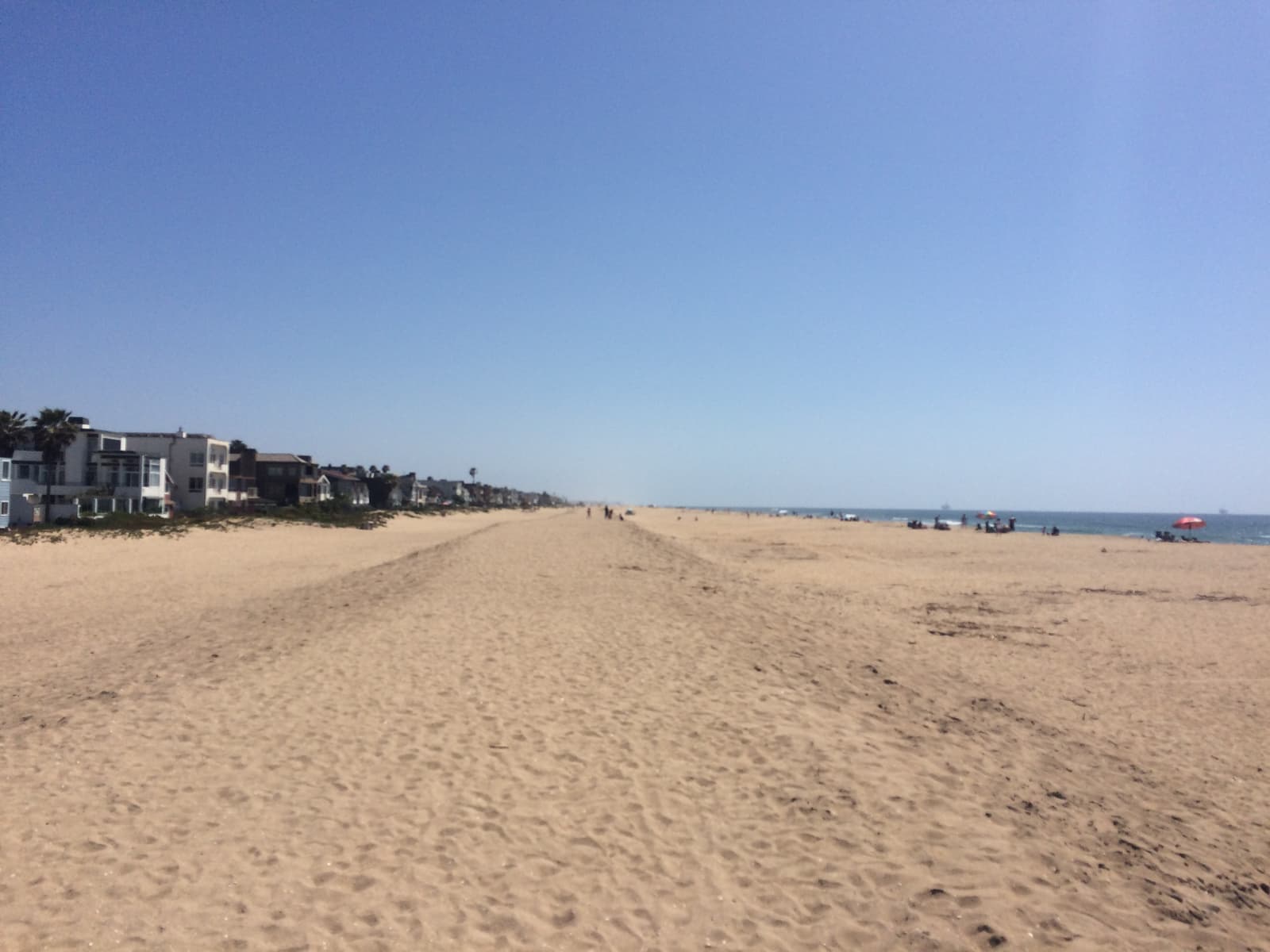
- A wide beach that's quieter than the pier area
- The 14-acre greenbelt and the art festival every Mother's Day weekend
- No home mail delivery; everyone uses post office boxes
Getting around from Sunset Beach
What's within a few minutes in each direction.
Every trip starts on Pacific Coast Highway. North, the road passes Surfside and the Seal Beach naval weapons station into Seal Beach. South, it runs past Bolsa Chica State Beach and the Bolsa Chica wetlands toward downtown Huntington Beach and the pier.
Across the highway is Huntington Harbour, where the marinas and the shopping centers are. Boaters use the Sunset Aquatic Marina ramp, just north of town, to get onto the water, and from there the harbor reaches the ocean through Anaheim Bay.
- PCH north to Seal Beach, south to Bolsa Chica and downtown HB
- Huntington Harbour and its marinas across the highway
- Public boat ramp at Sunset Aquatic Marina
King tides and the tsunami zone
Low ground on both sides, and the city's own planning says so.
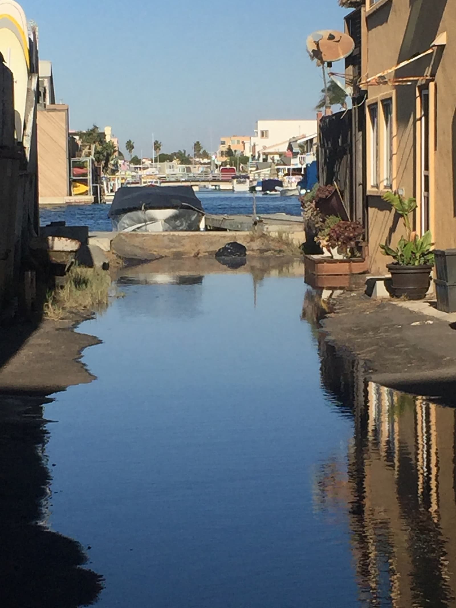
Sunset Beach sits a few feet above sea level with water on both sides. FEMA's March 21, 2019 map revision redrew the flood zones for Sunset Beach and Huntington Harbour and placed affected properties in AE or VE zones, where a federally backed mortgage requires flood insurance. When I checked points across town, the sand was zone VE, homes near the middle of town on both sides of Pacific Avenue and on the harbor side were AE with a base flood elevation of 8 feet, the highway itself was shaded zone X, and the north and south ends were zone X. Get the zone for the exact parcel.
The city's own coastal resiliency work, drafted in 2016 for its general plan, expects significant tidal flooding in and around Huntington Harbour and Sunset Beach during king tides and seasonally high water. It lists numerous residential streets in both communities as vulnerable. For this shoreline, one of the tools it names is seasonal sand berm building in Sunset Beach.
Every point I checked in Sunset Beach, from the beach to the harbor side, is inside California's tsunami hazard area. Know the route inland across PCH before you need it.
- FEMA zones AE and VE on some blocks since the 2019 map revision
- City planning expects king-tide flooding in Sunset Beach
- Every point I checked is in the state tsunami hazard area
What I check before you buy in Sunset Beach
Schools come from two districts, and rebuilds run through their own plan.
Schools are split between two districts. The Ocean View School District covers the lower grades, and its boundary maps put the district's northwest corner, along the harbor and the coast, in the Harbour View Elementary and Marine View Middle School areas. High school is the Huntington Beach Union High School District. The maps are drawn loosely, so confirm the address with each district's school locator.
Development here runs through the Sunset Beach Specific Plan, which the county wrote with heavy input from residents and which Huntington Beach now carries out with the local review board. If you're buying to remodel or rebuild, read the plan and talk to the city before you write an offer, and remember that the whole town is in the coastal zone.
On a Sunset Beach house I pull the flood zone and an elevation certificate, a private and a federal flood quote, and the permit history on any rebuild. I check where the lot line sits on the beach side and what the plan allows for height. And because so many homes here are rentals or second homes, I look closely at leases and at who's actually living in a house before a sale. I do all of this in English or Russian.
More Sunset Beach facts
- 1904FoundedAn unincorporated town until 2011
- 971Residents, 2010 censusIn 641 housing units
- ~1.2 milesLength along PCHSurfside to Warner Avenue
- 14 acresGreenbelt parkRuns the length of town
- 1948Art festival sinceHeld on Mother's Day weekend
- YesTsunami hazard areaEvery point I checked on the state map





Rentals in Sunset Beach
5 active rentals in the mapped area
$5,500/mo
Apartment2 bd1 ba900 sqft
16693 S Pacific
$3,550/mo
Apartment2 bd1 ba1,000 sqft
16862 12th St 1
$12,000/mo
Single-Family5 bd3 ba2,200 sqft
17075 S Pacific Avenue
$6,450/mo
Single-Family4 bd3 ba1,800 sqft
16741 Pacific Coast 201
$20,000/mo
Single-Family4 bd2 ba1,440 sqft
17016 7th Street
Questions & answers
Sunset Beach is a beach community in Orange County at the northwest edge of Huntington Beach, on Pacific Coast Highway between Surfside in Seal Beach and Warner Avenue. It's a little over a mile long, with the ocean on one side and Huntington Harbour on the other. Its ZIP code is 90742.
Explore near Sunset Beach
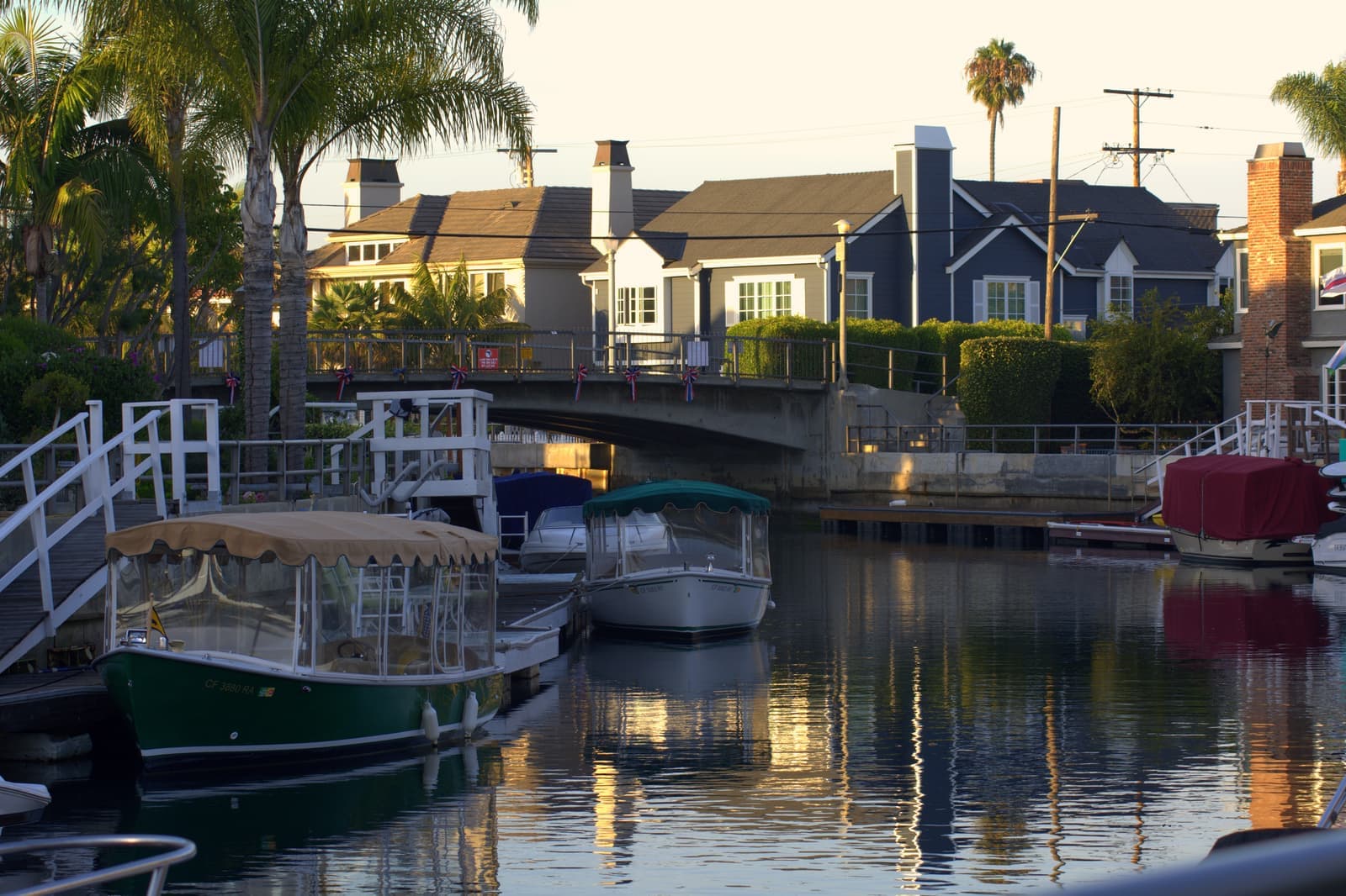
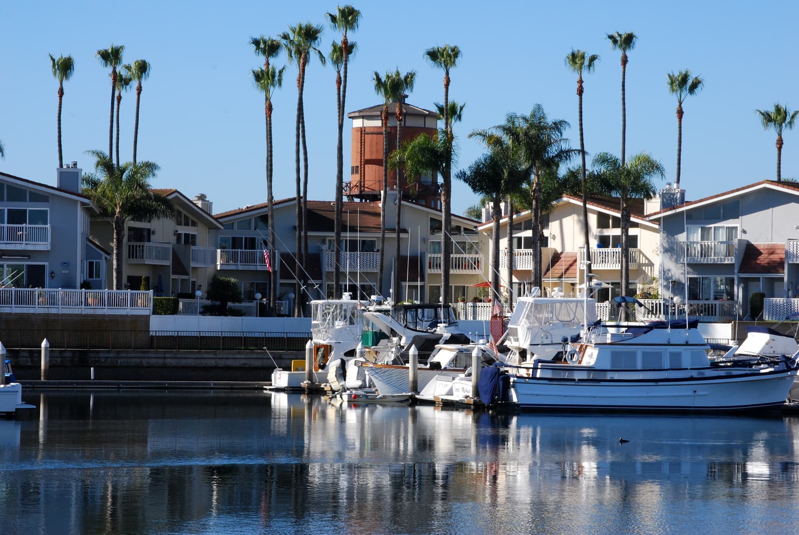
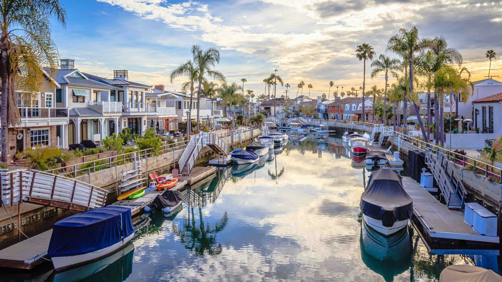
0.7 mi awayHuntington HarbourFive dredged islands at the north end of Huntington Beach, with the boat tied up behind the houseRead the guide ›3.8 mi away · Long BeachThe PeninsulaA mile-long sandspit between the ocean and Alamitos Bay, where front doors open onto a 1920s boardwalk instead of a streetRead the guide ›3.9 mi away · Long BeachNaplesThree canal islands in Alamitos Bay, built from 1905, and some of the priciest homes in Long BeachRead the guide ›4.0 mi awaySeacliffLate-1980s and 1990s tracts around a golf course, built on the old oil field above the beachRead the guide ›4.7 mi away · Long BeachBelmont ShoreSmall old houses around Second Street, a few minutes' walk from flat waterRead the guide ›5.4 mi away · Long BeachBelmont HeightsCraftsman bungalows on the rise above Belmont Shore, with a local main street on BroadwayRead the guide ›

Where we check the facts
The facts in this guide (districts, zones, rules) come from the official records below. We re-check them before property tours.
- Los Angeles Times: Lawsuit gives Sunset Beach a reprieve in annexation battle (Jan 2011)latimes.comannexation terms, taxes, greenbelt, mail, parking
- City of Huntington Beach: Sunset Beach Local Coastal Program Review Boardhuntingtonbeachca.gov1982 board, specific plan, meeting place
- City of Huntington Beach: flood informationhuntingtonbeachca.gov2019 FEMA map revision for Sunset Beach
- City of Huntington Beach: Coastal Resiliency Program (2016 draft)cms3.revize.comking-tide flooding, vulnerable streets, sand berms
- U.S. Census Bureau: 2010 Sunset Beach CDP (TIGERweb)tigerweb.geo.census.govpopulation, housing units, land area, boundary
- Wikipedia: Sunset Beach, Californiaen.wikipedia.orgfounding, annexation vote, tenure, greenbelt, art festival
Show all 11 sourcesShow fewer
- FEMA Flood Map Service Centermsc.fema.govflood zones by address
- California Geological Survey: tsunami hazard area mapsconservation.ca.govtsunami hazard area
- Ocean View School District: boundary mapsovsd.orgHarbour View and Marine View attendance areas
- Huntington Beach Union High School Districthbuhsd.eduhigh school district
- CRMLSgo.crmls.orgactive listings
Photo credits (7)
- Lifeguard tower 4 on Sunset Beach, with the beach houses behind itLars Plougmann, CC BY-SA 2.0
- Lifeguard station 10 and the row of homes along Sunset BeachRegular Daddy, CC BY-SA 3.0
- The old water tower at the north end of Sunset Beach, now a homeSergei Gussev, CC BY 2.0
- A gabled Sunset Beach house with beach scenes painted on its garage doorsLars Plougmann, CC BY-SA 2.0
- The wide, quiet sand of Sunset Beach on a clear afternoonSergei Gussev, CC BY 2.0
- A king tide floods a walkway between houses on the harbor side of Sunset Beachakf2006, Public Domain Mark 1.0
- The front row of Sunset Beach houses in warm evening light, seen from the sandLars Plougmann, CC BY-SA 2.0