



Miraleste asks 7% more than Rancho Palos Verdes as a whole.
Miraleste$2.35M
All of Rancho Palos Verdes$2.2M
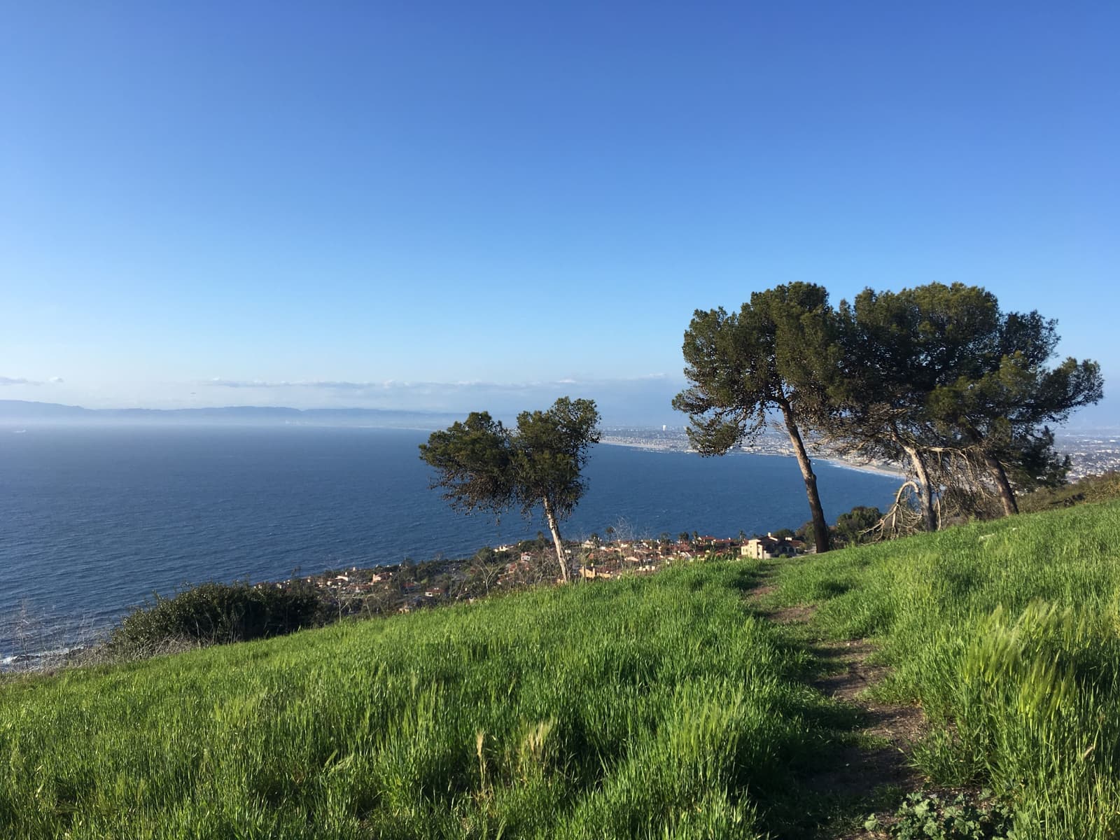
The Peninsula's 1920s east slope, under old pines, with the harbor lit up below
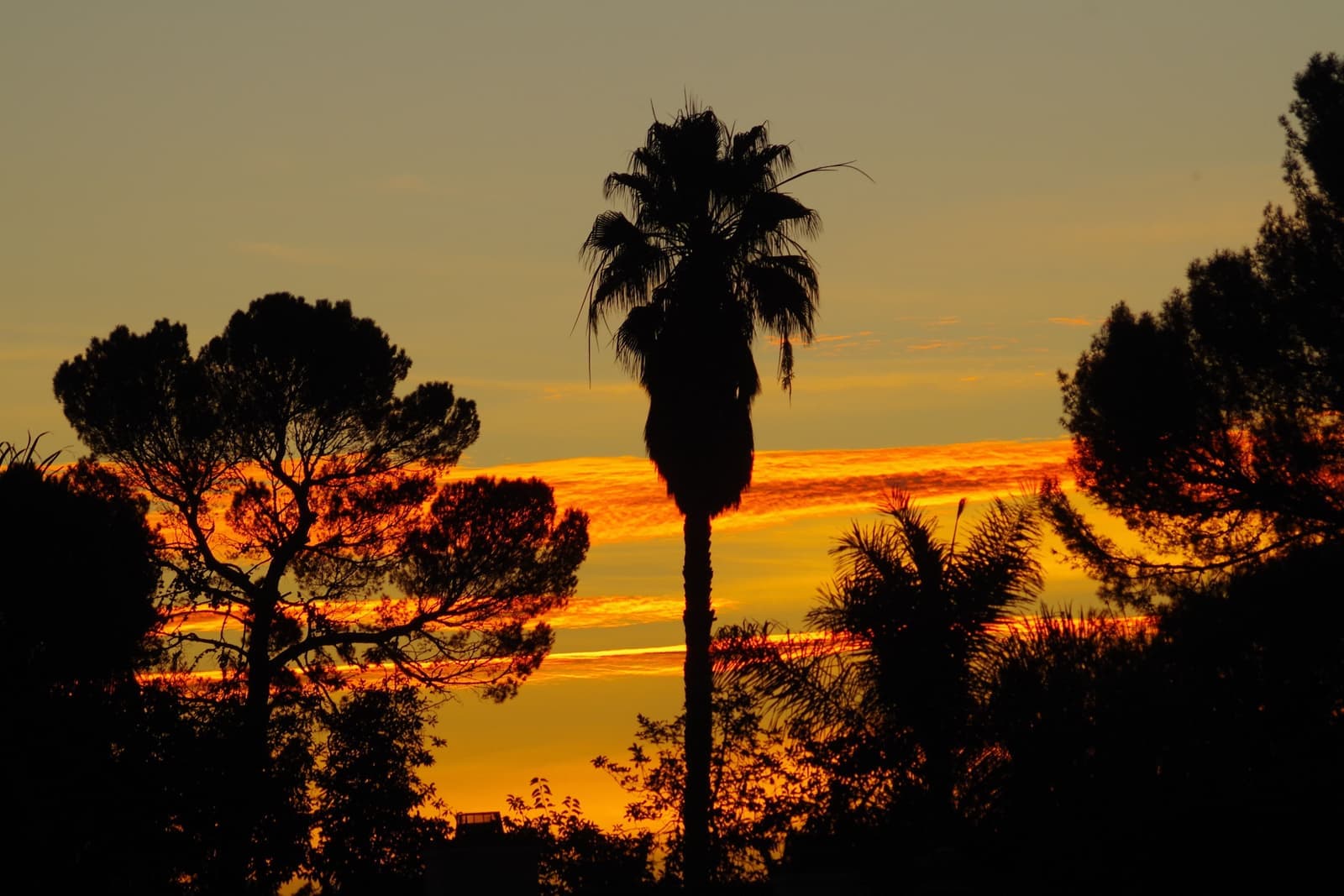
Miraleste is the east-facing slope of the Palos Verdes Peninsula in Rancho Palos Verdes, laid out in the 1920s as part of the original Palos Verdes Project, the same plan that produced Malaga Cove. It looks over Los Angeles Harbor and the Vincent Thomas Bridge, opened in 1963, instead of the open ocean. Streets wind under mature pines, with a small plaza and library branch on Palos Verdes Drive East and Miraleste Intermediate School in the neighborhood. As of September 2026, nine houses were listed in our map area, asking about $1.1 million to $3 million, most between $1.9 million and $3 million, well under the ocean side.
Sources: U.S. Census Bureau, ACS 5-year 2019–2023; neighborhood facts compiled by The Slava House.
Malaga Cove's east-facing sibling, grown into a pine forest.
Miraleste is the eastern face of the Peninsula and one of the original districts of the 1920s Palos Verdes Project, drawn under the same planning that produced Malaga Cove, with Mediterranean architecture, protective restrictions, open space, and a small village plaza of its own on Palos Verdes Drive East. Miraleste School opened here in 1929, the Peninsula's second school after Malaga Cove's.
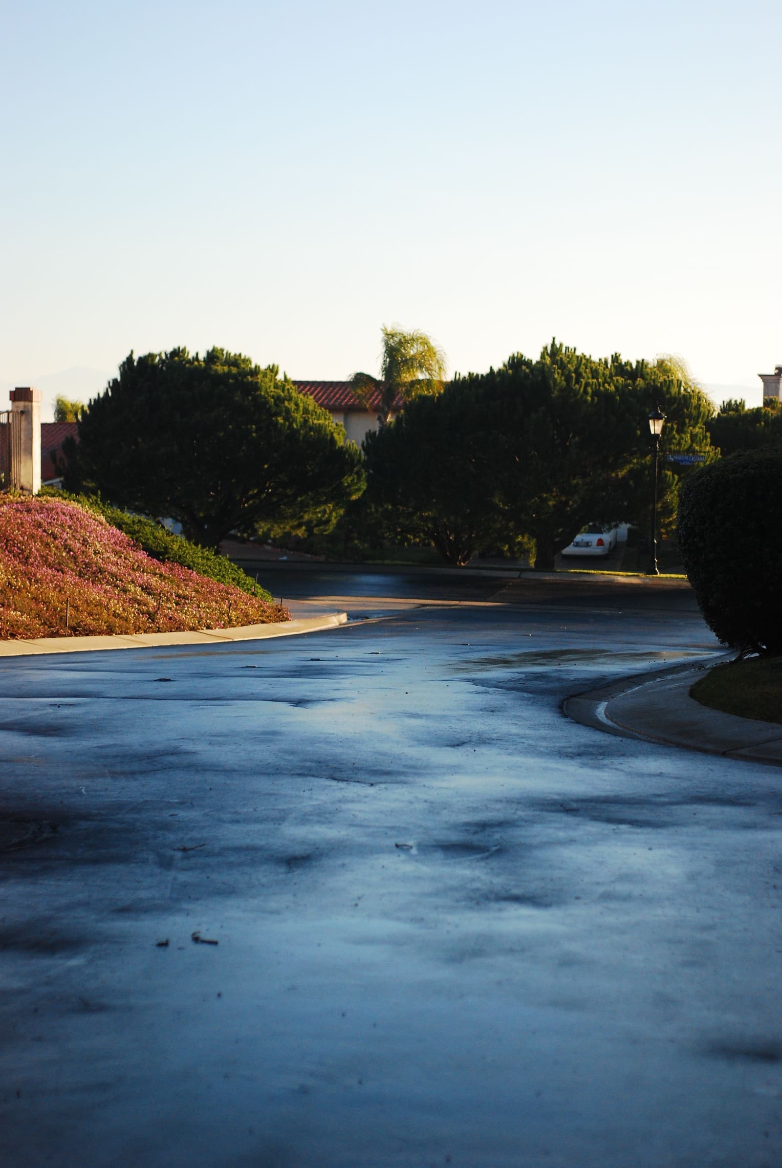
A century later, what you notice first is the trees. The ones planted with the district have grown into a canopy that makes Miraleste the shadiest neighborhood on the hill, and the winding streets feel more like a mountain town than coastal Los Angeles.
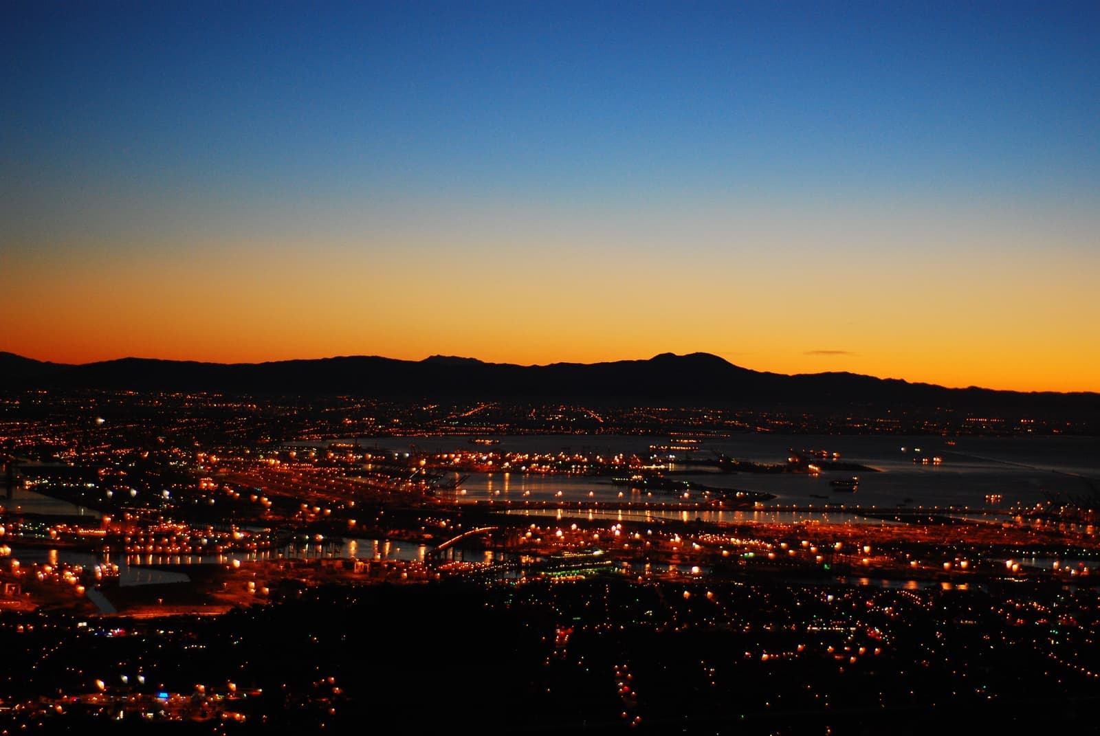
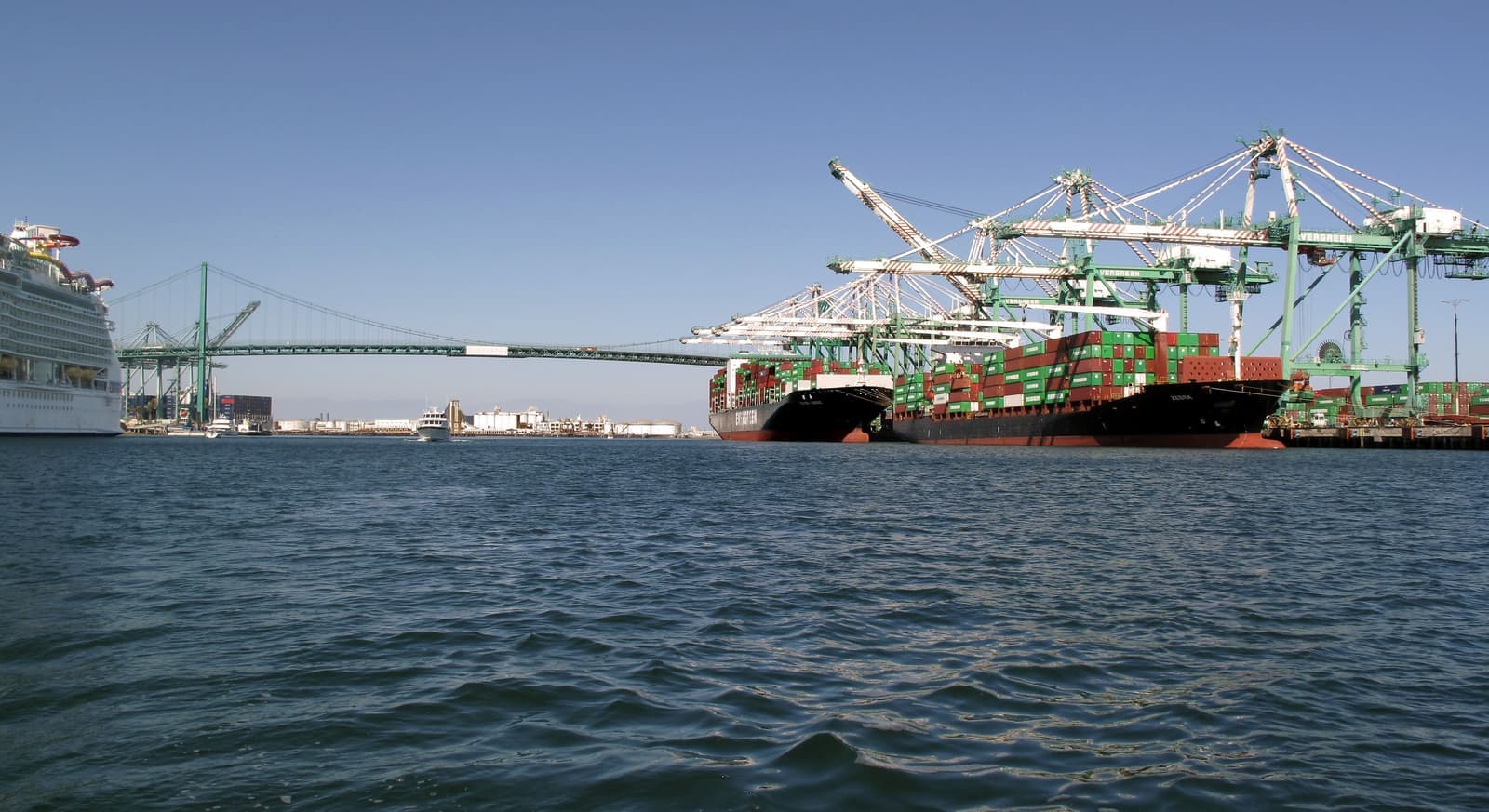
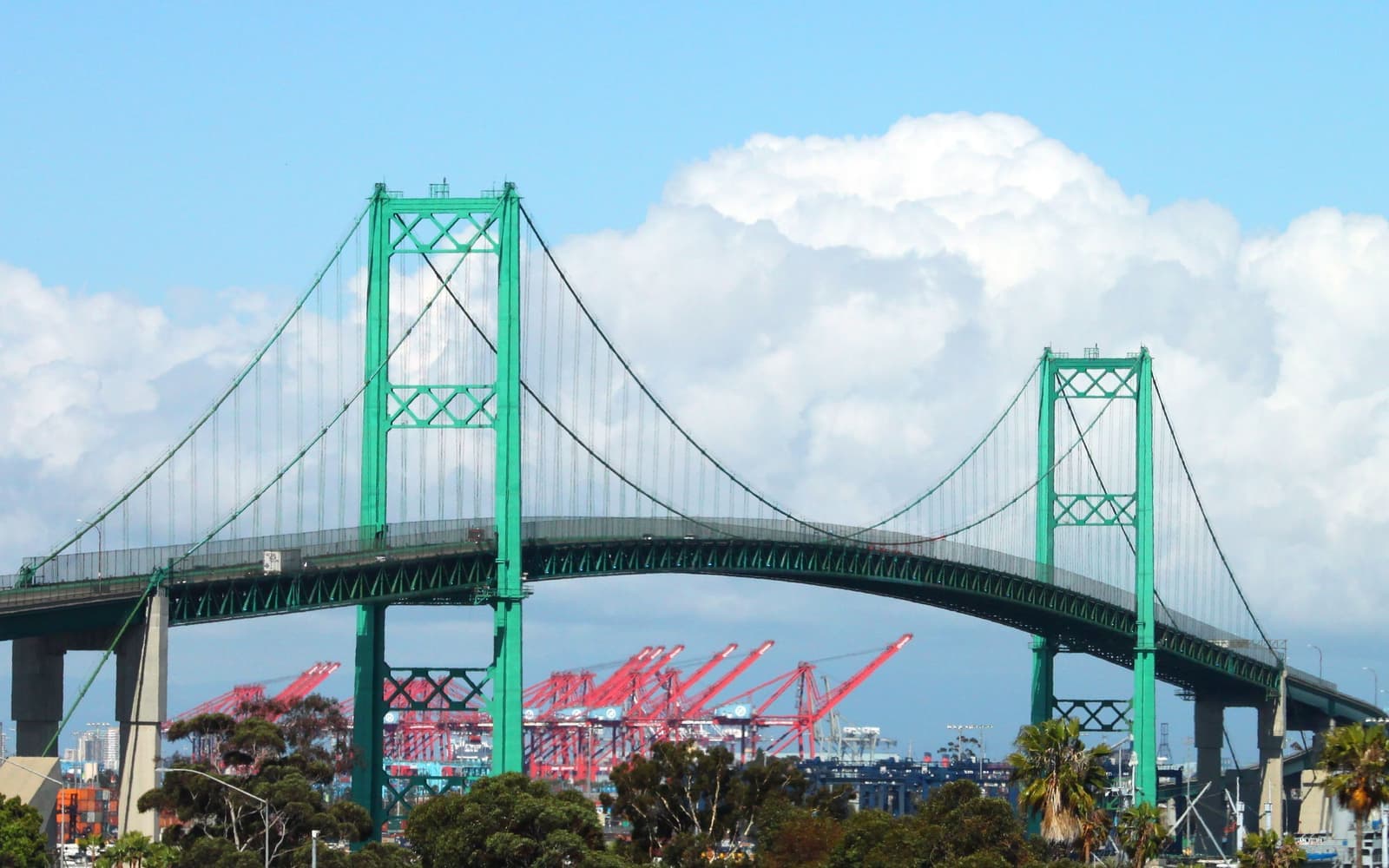
The big difference is which way it faces. The west side looks at open ocean. Miraleste looks over Los Angeles Harbor, at the cranes and lights of the port and the green span of the Vincent Thomas Bridge, opened in 1963, with the San Gabriel Mountains behind. At night it's one of the most underrated views in Southern California.
Miraleste wasn't part of Palos Verdes Estates when that city incorporated in 1939, and it joined Rancho Palos Verdes when the new city incorporated in 1973. It still feels like the older plan. The plaza and the canyon trails are there, and the street names match the 1920s maps.
Miraleste asks 7% more than Rancho Palos Verdes as a whole.
A square foot in Miraleste costs 4% less than across Rancho Palos Verdes.
Listings in Miraleste have been on the market 20 fewer days than across Rancho Palos Verdes.
Homes for sale in Miraleste are 21% bigger than across Rancho Palos Verdes.
Each card sets the median in Miraleste against all of Rancho Palos Verdes. The arrow on a card lists every Rancho Palos Verdes neighborhood we cover. Asking prices for homes on the market right now inside each mapped area, not sale prices. Updated October 17, 2026, 10:00 AM PT
13 active listings in the mapped area
I’m a Realtor based in Long Beach, and Rancho Palos Verdes is one of the cities I work most. Tell me what you’re after in Miraleste and I’ll help you get there.
Slava Ploshkin · DRE #02323623English and Russian · How I work in Rancho Palos Verdes
The restaurants, cafes, shops, parks, and landmarks that give Miraleste its everyday character, most within a short walk.
5 places
Pick one and I’ll show you where it is.
Shopping5 min walk
The small plaza on Palos Verdes Drive East, the east slope's village center, with a library branch and a handful of local storefronts.
It's small and shaded, more a corner than a town center.
Restaurant5 min walk
A small Italian-Persian cafe in Miraleste Plaza with pizza, kabobs and baguette sandwiches.
Shopping5 min walk
An old-school deli and wine shop with outdoor seats, where hikers grab water before the trails.
Landmark5 min walk
A branch of the Palos Verdes Library District at the plaza; check the district's site for hours.
Recreation15 min walk
A wooded canyon trail network kept by the Miraleste Recreation and Park District.
Mostly postwar family homes, with a few 1920s originals near the plaza.
The oldest streets near the plaza and the Drive East carry the district's heritage stock: Spanish and Mediterranean homes from the project's early decades, some carefully preserved, others quietly modernized behind original facades.
Most of the neighborhood filled in after the war, and the 1950s-70s family homes that dominate today sit on generous lots under the pines, many with harbor views framed through the trees. The upper streets are the premium tier, with nothing between you and the port, the bridge and the mountains.
Two things to check here. The first is the trees. The canopy is what makes Miraleste, and it's also what blocks views, since pines grow and view protection runs through city processes, not guarantees. The second is the hillside: like any Peninsula slope, put grading, drainage and retaining-wall history on the inspection list, though Miraleste's east slope is well away from the Portuguese Bend landslide on the south coast. On fire, about 87% of the homes in our Miraleste map sit outside the zones on CAL FIRE's 2025 map, which Rancho Palos Verdes adopted without changes, and most of the rest are Moderate or High on streets like Crownview Drive, Newridge Drive and Starline Drive, so check the exact parcel.
Instead of surf, you look down on the ships and cranes of the Port of Los Angeles.
Nothing on the ocean side looks like this. The Port of Los Angeles, the busiest container port in the country, is spread out below, with ships waiting on the water, cranes working the terminals, and the Vincent Thomas Bridge over the main channel. Something down there is always moving.
Night is the payoff. The port lights come up in clusters, the bridge lights up over the channel, and on clear winter evenings the San Gabriels can hold snow above the glow. The buyers I've seen choose Miraleste over the ocean side usually mention the night view first.
Mornings are better too. The east slope faces the sunrise, and it often clears earlier than the ocean side, which can sit under the marine layer until late morning.
Quiet streets, with the freeway right below.
Miraleste Plaza's storefronts and library branch cover the small stuff. Western Avenue, a few minutes down, has the supermarkets and small local spots like Granny's Yogurt, and San Pedro and the harbor towns are right below for bigger runs.
Wooded canyon trails kept by the Miraleste Recreation and Park District run through the neighborhood, and the Forrestal Reserve's quarry trails open the wider preserve a few minutes south, though some of those have been closed since 2024 because of land movement on the south coast. Founders Park on the Trump National coast is the closest ocean lawn.
Most addresses are in the Palos Verdes Peninsula Unified School District, with Miraleste Intermediate inside the neighborhood. Some eastern Rancho Palos Verdes addresses near Western Avenue, the Eastview area, have had an option between PVPUSD and the Los Angeles Unified School District under a 1999 agreement, so ask the district about the exact address. Commuting is the big plus. The Harbor Freeway on-ramps are right below, which makes this the Peninsula's easiest address for driving north or downtown.
The market pays most for ocean views, so heritage and harbor views are priced lower here.
Miraleste sells for less than the Peninsula's ocean-facing neighborhoods, and it isn't about quality. The market pays first for open-ocean views, and the east side's everyday surroundings look less glamorous than the resort coast. That leaves good value on the hill: 1920s planning, shaded streets, real views and Peninsula schools.
As of September 2026, nine houses were for sale in our Miraleste map area, asking about $1.1 million to $3 million, with most between $1.9 million and $3 million. Within the neighborhood, the ladder runs from the harbor-view upper tier, through the mid-slope family streets, to homes where the canopy has closed over the view, and heritage originals have their own following in every tier.
Comp within the view tier, like anywhere on the hill. If the ocean side is out of your budget and you still want Peninsula planning and schools, Miraleste is where I'd look first.
3 active rentals in the mapped area
Yes, if you want Peninsula schools and a harbor view for less than the ocean side costs. Miraleste is an original 1920s Palos Verdes Project district with heritage homes, a small plaza and library branch, canyon trails and streets under a mature pine canopy, all facing Los Angeles Harbor. It has the Peninsula's best freeway access and night views of the port and the Vincent Thomas Bridge. In return you look at a working harbor instead of surf, and the amenities are village-sized.
The facts in this guide (districts, zones, rules) come from the official records below. We re-check them before property tours.