





Walteria asks 87% more than Torrance as a whole.
Torrance, California · Neighborhood guide
Walteria
Southwest Torrance's 1950s and 1970s streets under the Palos Verdes hills, with an 1880s name and the airport across the highway
Median askingWalteria$1.67M10 for sale
See homesWalteria, in short.
Walteria is a neighborhood of single-family houses in southwest Torrance, south of Pacific Coast Highway between Anza Avenue and Crenshaw Boulevard, running up to the Palos Verdes hills. The name comes from Captain A. Richard Walters's 1880s stagecoach stop, and Torrance annexed the townsite on March 12, 1928. County assessor records count about 1,670 houses: roughly four in ten built in the 1950s on the flats and about as many in the 1970s near the hills, on lots that mostly run 5,400 to 6,900 square feet. As of September 2026, most houses for sale asked about $1.4 million to $1.75 million. Zamperini Field, the city airport, sits across the highway.
Walteria by the numbers.
- 5,451Population
- 64%Bachelor's degree or higherage 25+
- $102,056Median household income
- 41.2Median age
- 1880sNamedWalters's stage stop; lots advertised in 1888
- 1928AnnexedMarch 12; 0.39 square miles
Sources: U.S. Census Bureau, ACS 5-year 2019–2023; neighborhood facts compiled by The Slava House.
The tract neighborhood under the hills
An 1880s name on 1950s and 1970s streets, with the airport a few blocks away.
Walteria is the quiet, mostly single-family piece of southwest Torrance south of Pacific Coast Highway. We map it from Anza Avenue on the west to Crenshaw Boulevard on the east, and from the highway south to the city line, where the Palos Verdes hills start to climb. Some local definitions stop at Vista Montana on the west.
The name is older than the houses. Captain A. Richard Walters built a stagecoach stop here in the 1880s, developers advertised Walteria lots in 1888, and Torrance annexed the townsite in 1928. Oil, a library, and a school followed, but most of the streets filled with houses only after the war.
What a buyer finds now is two kinds of house. County assessor records count about 1,670 houses: roughly 630 from the 1950s on the flats, and about 650 from the 1970s, most of them on the streets nearest the hills. The civic center is one block of 242nd Street with Walteria Park, the library branch, and a short row of restaurants, and Walteria Elementary is a few blocks southeast on Madison Street.
Zamperini Field, the city airport, sits directly across Pacific Coast Highway, with Robinson Helicopter's factory on its southeast side. The airport is the first thing to check here. Drainage and the slope near the city line come after it.
Prices sit below the Hollywood Riviera next door and well below the Palos Verdes cities on the hill above. As of September 2026, most houses for sale asked about $1.4 million to $1.75 million, and the district's School Locator sends most of Walteria to Walteria Elementary, Richardson Middle, and South High.
Live from the MLS
Walteria compared with all of Torrance.
A square foot in Walteria costs 43% more than across Torrance.
Walteria$878
All of Torrance$615
Listings in Walteria have been on the market 11 fewer days than across Torrance.
What’s for sale
80% of the homes for sale in Walteria are single-family houses.
- Single-family80%8 homes
- Condo10%1 home
- Multi-unit10%1 home
Homes for sale in Walteria are 43% bigger than across Torrance.
Walteria1,950 sq ft
All of Torrance1,361 sq ft
Each card sets the median in Walteria against all of Torrance. The arrow on a card lists every Torrance neighborhood we cover. Asking prices for homes on the market right now inside each mapped area, not sale prices. Updated October 3, 2026, 5:00 PM PT
Homes for sale in Walteria
10 active listings in the mapped area
$2,399,000
Single-Family4 bd4 ba3,407 sqft
2916 Briarwood Drive
$1,649,000
Single-Family3 bd3 ba2,028 sqft
3031 Windmill
$1,599,000
Single-Family4 bd4 ba2,482 sqft
24812 Pitcairn Way
$1,699,000
Single-Family3 bd2 ba1,739 sqft
24474 Winlock
$1,349,000
Condo3 bd3 ba1,560 sqft
3918 W 242nd Street
$1,290,000
Duplex4 bd2 ba1,006 sqft
2834 Pacific Coast Highway
$1,790,000
Single-Family3 bd3 ba2,539 sqft
24880 Via Valmonte
$1,750,000
Single-Family3 bd2 ba1,872 sqft
3221 Carolwood
$2,396,000
Single-Family3 bd3 ba2,404 sqft
4201 Mesa
$1,398,000
Single-Family4 bd2 ba1,570 sqft
4070 Bluff Street

Still deciding? Ask me.
I’m a Realtor based in Long Beach, and Torrance is one of the cities I work most. Tell me what you’re after in Walteria and I’ll help you get there.
Slava Ploshkin · DRE #02323623English and Russian · How I work in Torrance
Where to eat, shop, and explore in Walteria
The restaurants, cafes, shops, parks, and landmarks that give Walteria its everyday character, most within a short walk.
10 places
Pick one and I’ll show you where it is.
Park15 min walk
The neighborhood's park of about 4.5 acres at 3855 West 242nd Street: playground, basketball and tennis courts, a softball field, and picnic tables with barbecues. Its building hosts the Walteria Park Senior Citizens Program.
Open 6 a.m. to 10 p.m.; the library and the 242nd Street restaurants are next door.
Landmark10 min walk
The oldest branch of the Torrance Public Library, opened in 1937 with 500 books near Hawthorne Boulevard and Via Valmonte. After a runaway car nearly wrecked it, the branch moved through a fire station, a Quonset hut, and a Navy dispensary before ground was broken on this building at 3815 West 242nd Street in 1962.
Landmark5 min walk
The Torrance Unified elementary school at 24456 Madison Street, whose first building was heavily damaged by a 1941 earthquake. The district's School Locator sends most of Walteria here, then to Richardson Middle and South High.
Restaurant10 min walk
A family Italian restaurant at 3760 West 242nd Street, a few doors from the park; Hank's dates to 1967.
Restaurant10 min walk
Mediterranean plates at 3768 West 242nd Street, next to Hank's on the neighborhood's one restaurant row.
Restaurant15 min walk
A second Italian option on Pacific Coast Highway just west of Hawthorne Boulevard.
Restaurant10 min walk
A birria taqueria at 3720 Pacific Coast Highway, near the Hawthorne Boulevard corner, open daily from 10 a.m. to 10 p.m.
Coffee5 min walk
An espresso cafe on Pacific Coast Highway east of Madison Street.
Park · Nearby25 min walk
The 15-acre park across Pacific Coast Highway at 3920 235th Street, with ballfields, basketball, a playground, community gardens, and a 0.67-mile fitness course. Riviera Little League plays here, and the name means dry lake: it sits on the old Lake Walteria flats.
Shopping · Nearby25 min walk
The big-box shopping center on Crenshaw Boulevard east of the airport, about a mile north of the neighborhood's Crenshaw corner, for supermarket-scale errands.
From Walters's stage stop to the 1964 flood basin
An 1888 resort promotion that fizzled, and a lake across the highway that had to be tamed.
Captain A. Richard Walters of Atkinson, Illinois came to the farm country below the Palos Verdes hills in the 1880s and built a stagecoach stop and hotel on the Redondo-Wilmington road, which linked the Redondo salt works to San Pedro harbor. Developers thought Walteria sounded better than Walters. In 1888 they advertised it as a subdivision of Meadow Park with pure air and delightful scenery, lots from $150 to $300.
The boom fizzled, and Walteria stayed a farming crossroads for decades. Oil was found on the Kettler ranch in 1924. Torrance annexed the 0.39-square-mile townsite on March 12, 1928, and the Walteria post office became a branch of Torrance's in 1929. The library branch opened in 1937 with 500 books, the oldest in the city system. The Palos Verdes Begonia Farm, named for the customers it wanted rather than where it stood, grew begonias here from 1941 to 1997; its last site at 242nd Street and Newton became the Begonia Village townhomes in 2001.
The first Walteria School building was heavily damaged by an earthquake in 1941. Across the highway, the Army Air Forces finished an airfield on March 31, 1943, and on December 7, 1946, the city renamed it for Torrance High graduate Louis Zamperini.
The 1950s made the neighborhood. Torrance grew from about 20,000 people to more than 100,000 in the decade, and builders put up tracts of 200 to 500 houses almost on an assembly line. The catch was water. As late as 1957 the seasonal Lake Walteria, which formed north of the highway between Anza Avenue and Ocean Avenue, overran its sumps and put three feet of water on those blocks. Flooding was common enough that Mayor Albert Isen and Groucho Marx traded the local joke on a 1950s game show: when it rains in Los Angeles, it comes down in Torrance.
In August 1960 the city and Los Angeles County agreed on a 27-acre sump site and a $975,724 project. The basin was dug 106 feet deep instead of 40 and finished in August 1964, and it still works as the county's 25-acre Walteria Retention Basin near Hawthorne Boulevard and Skypark Drive, with Lago Seco Park, the dry lake, beside it. The 1970s brought a second wave of houses, on the slopes near the Palos Verdes line.

- Walters's 1880s stage stop; Walteria advertised as a resort subdivision in 1888
- Oil in 1924, annexation on March 12, 1928, library branch in 1937
- 1950s tracts, the 1964 basin that ended Lake Walteria's floods, then 1970s hill houses
Houses from the 1950s and the 1970s
Post-war tract houses on the flats, then a second, bigger wave near the city line.
Walteria was built in two waves. The flats between Pacific Coast Highway and the foothills filled in the late 1940s and 1950s, and the typical 1950s house there has about 1,380 square feet on a lot of about 5,500. Condition and permits matter more than the original floor plan.
Toward the hills the ground rises and the houses get newer and bigger. About 650 houses went up in the 1970s, most within a quarter mile of the city line near Newton Street, Blair Way, and Winlock Road; the typical one has about 2,080 square feet on about 6,500 square feet of land, and some look back over the flats. The Hollywood Riviera's 1950s view streets are next door, west of Anza Avenue.
The interior streets are single-family. About 180 condos and townhomes and 130 duplex lots make up the rest.
Daily life on 242nd Street and Hawthorne
Walteria Park and the library share one block, and Lago Seco Park is across the highway.
Daily life happens on 242nd Street and Hawthorne Boulevard. Walteria Park, the library, and a short row of restaurants sit together on 242nd a block off Hawthorne. Hank's, a family Italian place that dates to 1967, and Aristo Cafe's Mediterranean plates are on that block; Pesto's, Tacos El Goloso, and Caffe Tre Venezie are on the highway.
The park covers about 4.5 acres, with a playground, basketball and tennis courts, a softball field, picnic tables, and barbecues, and its building hosts the Walteria Park Senior Citizens Program. The library at 3815 West 242nd Street went up after a 1962 groundbreaking as a twin of the Henderson branch. Before it, the branch had moved through a fire station, a Quonset hut, and a surplus Navy dispensary at the park.
For bigger errands, Torrance Crossroads on Crenshaw Boulevard is a short drive north, east of the airport, and Del Amo Fashion Center is about two miles north. Lago Seco Park's 15 acres of fields and community gardens are just across the highway on 235th Street.
What to check before you buy in Walteria
The airport comes first, then the slope near the hills and the usual list for a 1950s house.
The airport is the big one. Zamperini Field sits directly across Pacific Coast Highway. It had about 10 flight schools in 2023, plus Robinson Helicopter's factory. The city logged about 27,000 noise complaints in 2023, filed by just 54 people, and adopted a ban on touch-and-go training in January 2024; a pilots' group sued, and in June 2025 the council declined to loosen the rules. Stand on the street you're considering on a weekend morning, then check the city's NoiseLab flight tracks for the block.
Water next. Lake Walteria formed north of the highway, not on these streets, and the county basin has handled that drainage since 1964. FEMA maps nearly all of Walteria as Zone X, minimal flood hazard, with one Zone A pocket of about an acre. Check the flood map for the exact address, and ask the seller about any history of water in the garage or crawl space.
The hill needs a closer look. After the February 2024 storms a hillside gave way in the Hollywood Riviera next door, and in March 2024 the city red-tagged two houses on Paseo de las Tortugas, just west of Walteria. On the slope streets near the Palos Verdes line, get a geotechnical report and find out whether the lot sits in the city's Hillside Overlay. The 2025 state fire-hazard map leaves Walteria out of its hazard zones.
Last, the house itself. Homes from the 1950s can carry original electrical, galvanized plumbing, and additions of uneven quality. Put a camera down the sewer lateral, have the roof and systems looked at, and pull the permits on any addition.
How the Walteria market works
The value side of southwest Torrance: South High schools and beach access without the Riviera premium.
Walteria sells as the value side of southwest Torrance. As of September 2026, most houses for sale inside our map asked about $1.4 million to $1.75 million, with a larger house near the hills at about $2.4 million. Most Hollywood Riviera houses next door asked $1.8 million or more, and the Palos Verdes cities above run higher still.
Street by street, what moves price is the block, the lot, the size and age of the house, the remodel, and how far it sits from the airport. The 1970s houses near the hills draw the most; the 1950s houses near Pacific Coast Highway and Hawthorne Boulevard are the way in.
A remodeled tract house and an untouched one can share a street, which is why I pull comps block by block before pricing anything.
Getting around Walteria
A car neighborhood with one walkable block and two boulevards out.
You'll drive. Hawthorne Boulevard runs north to Del Amo and the 405 and south over the hill toward Rolling Hills Estates. Crenshaw Boulevard does the same about a mile east, and Pacific Coast Highway runs west to Redondo Beach and east to Lomita and the 110.
Torrance Beach is about two and a half miles west by Pacific Coast Highway and Palos Verdes Boulevard, and Del Amo Fashion Center is about two miles north. On weekdays, Torrance Transit's 4X express to Union Station starts at Hawthorne Boulevard and Pacific Coast Highway.
More Walteria facts
- About 1,670HousesCounty assessor count inside our map
- 38% / 39%Built 1950s / 1970sThe flats first, then the streets near the hills
- 1937Library branchThe city's oldest, 500 books at first
- 1964Flood basinLake Walteria basin north of PCH, dug 106 feet deep




Rentals in Walteria
5 active rentals in the mapped area
$5,995/mo
Condo4 bd4 ba2,550 sqft
4134 Pacific Coast Highway 117
$3,750/mo
Rooming House2 bd1 ba820 sqft
3927 Paseo de las Tortugas
$1,500/mo
Rooming House1 bd1 ba600 sqft
24261 Los Codona
$4,800/mo
Single-Family3 bd1 ba1,766 sqft
24263 Los Codona
$6,500/mo
Single-Family4 bd4 ba2,589 sqft
4217 Mesa
Renting in Walteria
Yes. It's mostly single-family houses that come up for sale, but rentals appear too: houses on the tract streets, and condos and duplex units near Pacific Coast Highway and Hawthorne Boulevard.

Questions & answers
Yes, if you want a quiet single-family street in southwest Torrance and can live with airport noise. You get Torrance Unified's South High feeder pattern, a park and library on one block of 242nd Street, and a short drive to Torrance Beach, at prices below the Hollywood Riviera. The price of that is Zamperini Field across Pacific Coast Highway, plus 1950s and 1970s houses that need a careful inspection.
Explore near Walteria
1.9 mi awayHollywood RivieraTorrance's beach hill, Clifford Reid's 1928 tract that mostly got built in the 1950s, with Riviera Village a walk away in Redondo BeachRead the guide ›2.5 mi away · Palos Verdes EstatesMalaga CoveThe first streets the Olmsteds drew, still centered on a 1920s arcaded plazaRead the guide ›2.8 mi away · Palos Verdes EstatesMontemalagaBig midcentury lots 800 to 1,000 feet up the Palos Verdes Estates hillside, with the Queen's Necklace below at nightRead the guide ›2.9 mi awayOld TorranceTorrance's original 1912 townsite, where pre-war bungalows still sit on Olmsted's grid around a small downtownRead the guide ›3.4 mi away · Rancho Palos VerdesMiralesteThe Peninsula's 1920s east slope, under old pines, with the harbor lit up belowRead the guide ›4.2 mi away · Rancho Palos VerdesPortuguese BendRancho Palos Verdes' wild south coast, on land that won't hold stillRead the guide ›
Where we check the facts
The facts in this guide (districts, zones, rules) come from the official records below. We re-check them before property tours.
- South Bay History (Daily Breeze) — Walteria Lakesbhistoryblog.wordpress.com1928 annexation, the lake's location, the 1960 to 1964 flood basin
- South Bay History (Daily Breeze) — South Bay place namessbhistoryblog.wordpress.comA. Richard Walters and the origin of the name
- South Bay History (Daily Breeze) — Palos Verdes Begonia Farmsbhistoryblog.wordpress.com1941 to 1997 nursery; Begonia Village townhomes in 2001
- City of Torrance — Torrance history, the 1950storranceca.govpopulation growth, tract building, Lake Walteria floods
- LA County Public Works — Walteria Retention Basinpw.lacounty.govthe 25-acre basin at Hawthorne Boulevard and Skypark Drive
- City of Torrance — Walteria Parktorranceca.govpark amenities and hours
Show all 13 sourcesShow fewer
- Torrance Public Library — About Uslibrary.torranceca.gov1937 branch, its moves, the 1962 building
- Torrance Unified School District — School Locatorschoolsitelocator.comattendance areas by address
- Los Angeles County Assessorportal.assessor.lacounty.govyear built, house and lot sizes by parcel (2020 roll)
- AVweb — Pilots battle Torrance airport noise restrictionsavweb.com27,000 complaints from 54 people in 2023
- City of Torrance — Airport Noise Abatementtorranceca.govZamperini Field noise program and NoiseLab
- FEMA Flood Map Service Centermsc.fema.govflood zones by address
- CAL FIRE / OSFM: 2025 LRA Fire Hazard Severity Zones map service (map dated March 24, 2025)utility.arcgis.comno Moderate, High or Very High zone inside our map, checked September 2026
Photo credits (3)
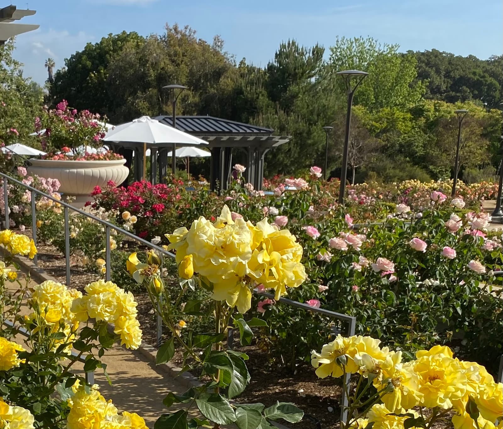
- Roses in bloom at South Coast Botanic Garden, just south of WalteriaTracie Hall (Flickr: tracie7779), CC BY-SA 2.0
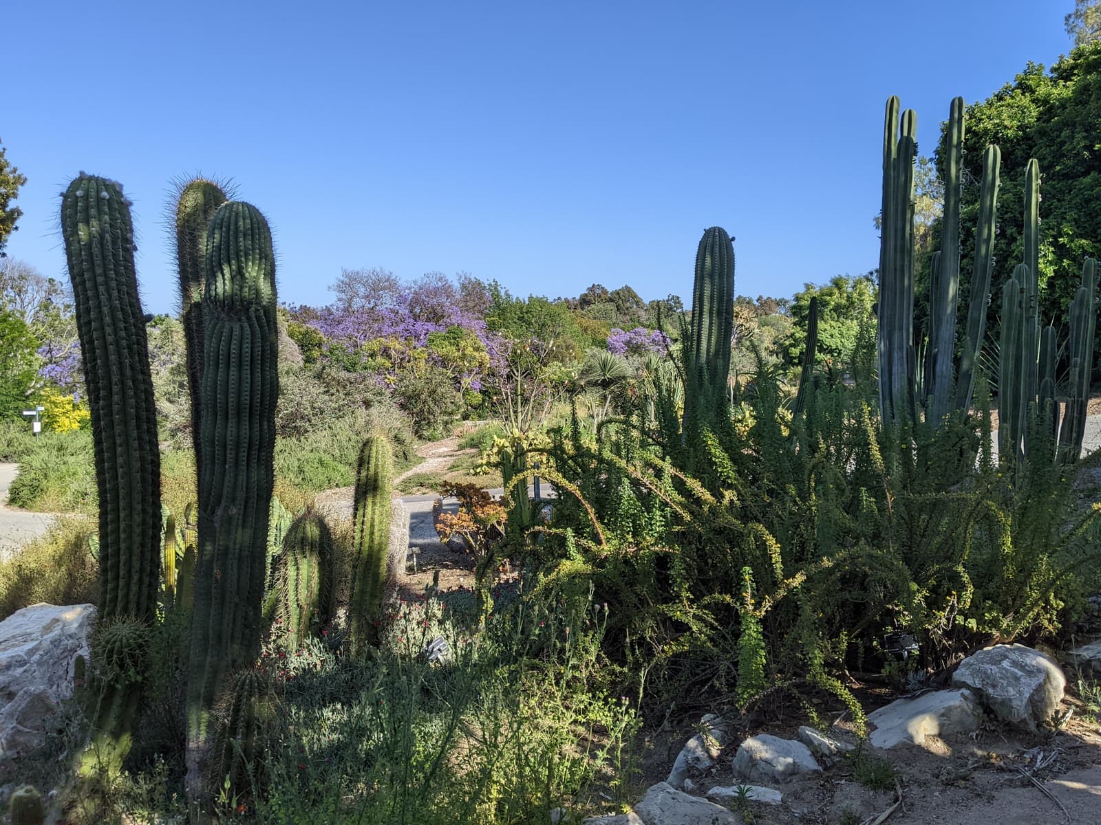
- Cactus garden and a jacaranda in bloom at South Coast Botanic Garden, next to WalteriaJeremy Thompson (Flickr: Roller Coaster Philosophy), CC BY 2.0
- A path past flower beds and lawn at South Coast Botanic Garden, next to WalteriaTracie Hall (Flickr: tracie7779), CC BY-SA 2.0