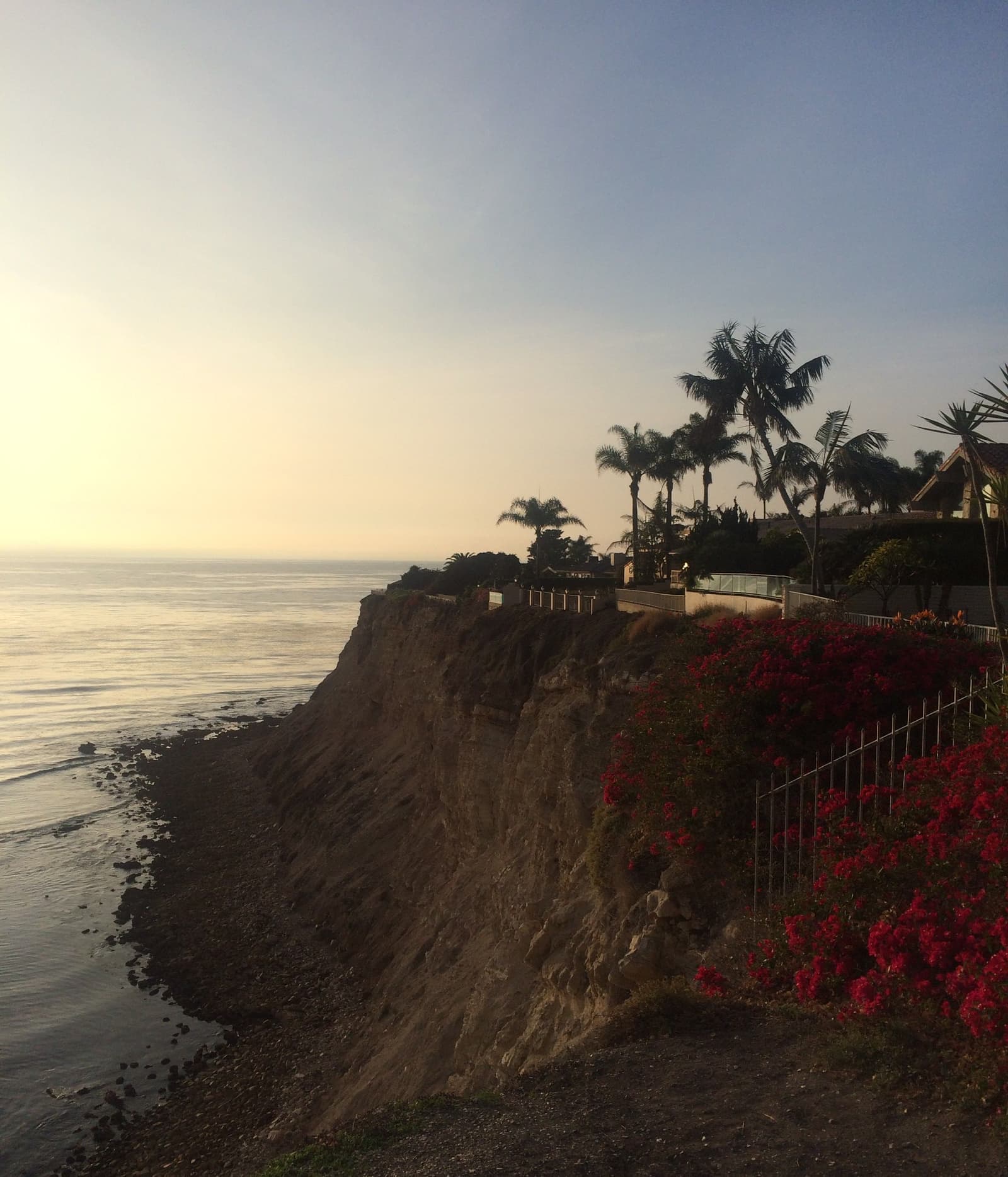




Seaview asks about what Rancho Palos Verdes does as a whole.
Seaview$2.2M
All of Rancho Palos Verdes$2.2M
Catalina-view streets next to a clifftop golf course whose coast anyone can walk
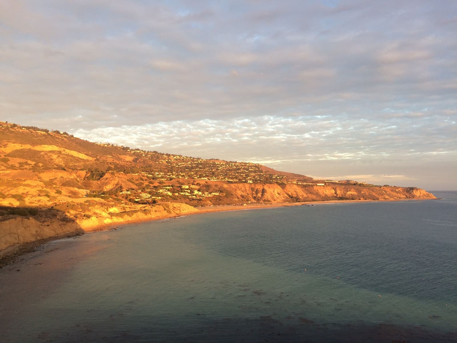
Seaview is a neighborhood of late-1950s and 1960s homes on the south coast of Rancho Palos Verdes, just east of Portuguese Bend, with Catalina at the end of most streets. Around it are the Ladera Linda hillside, the Forrestal Reserve trails, and the Trump National golf course, whose bluff trails and Founders Park are free and public. The Portuguese Bend slide reaches its western edge: 105 Seaview homes lost power in September 2024 before service came back, and in 2025 the city added seven Seaview lots to its no-new-homes landslide area. As of September 2026, 17 homes were listed in our map area, from a $975,000 condo to about $18.9 million.
Sources: U.S. Census Bureau, ACS 5-year 2019–2023; neighborhood facts compiled by The Slava House.
Suburban streets on the south coast, right next to the slide.
East of Portuguese Bend, the south coast of Rancho Palos Verdes gets more ordinary: regular neighborhood streets, a clifftop golf course, parks and trailheads, all the way to the San Pedro border. This is Seaview and the Ocean Trails coast, and daily life here is easier than out on the wild part of the shore.
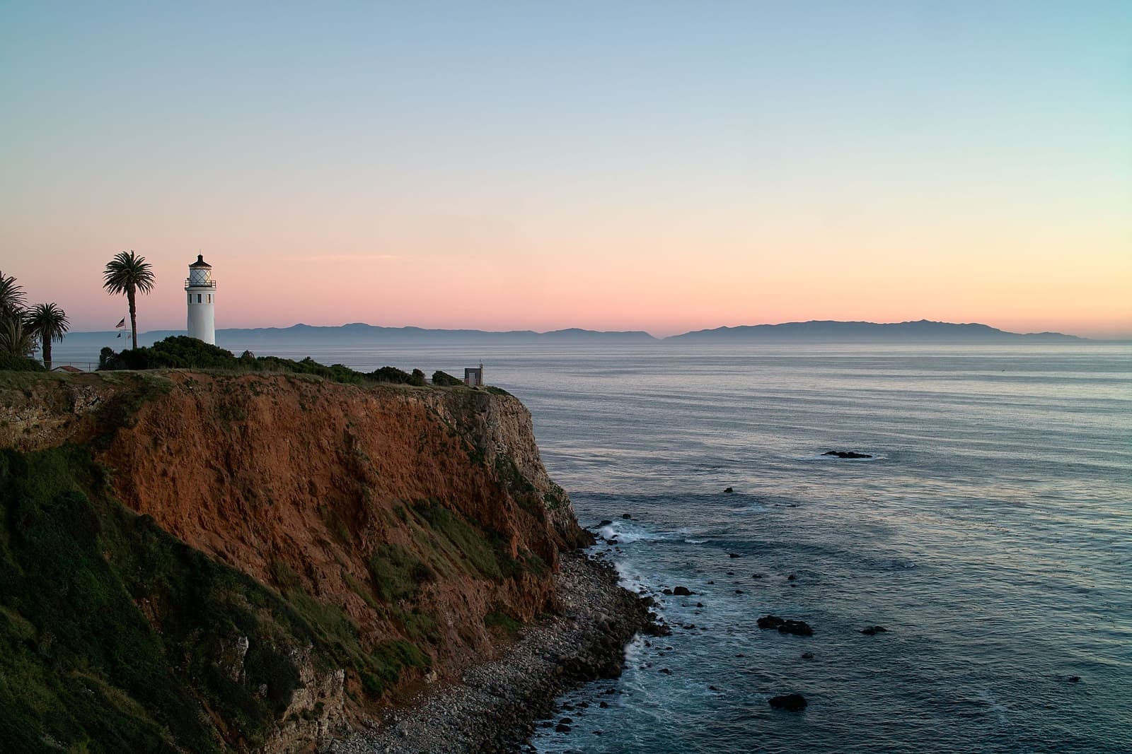
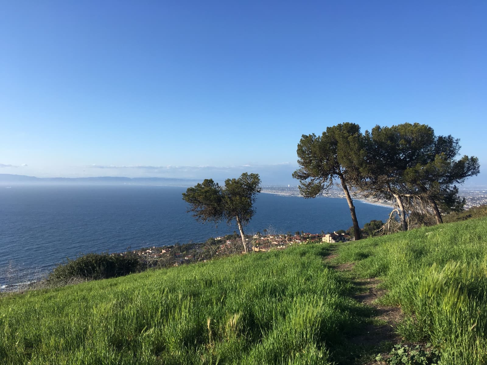
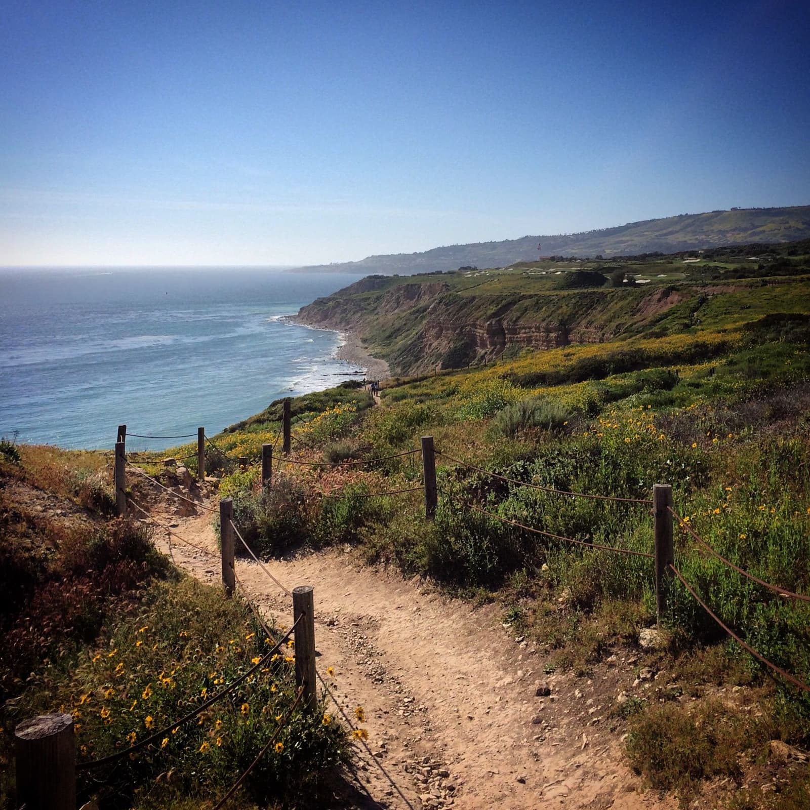
The Seaview tract is the area's postcard: streets of late-1950s and 1960s homes, many single-story, laid out so Catalina Island sits straight off the ends of the streets, with the ocean a short walk away. Above it, Ladera Linda climbs the hillside toward the Forrestal Reserve's trails, and the coast between them is public.
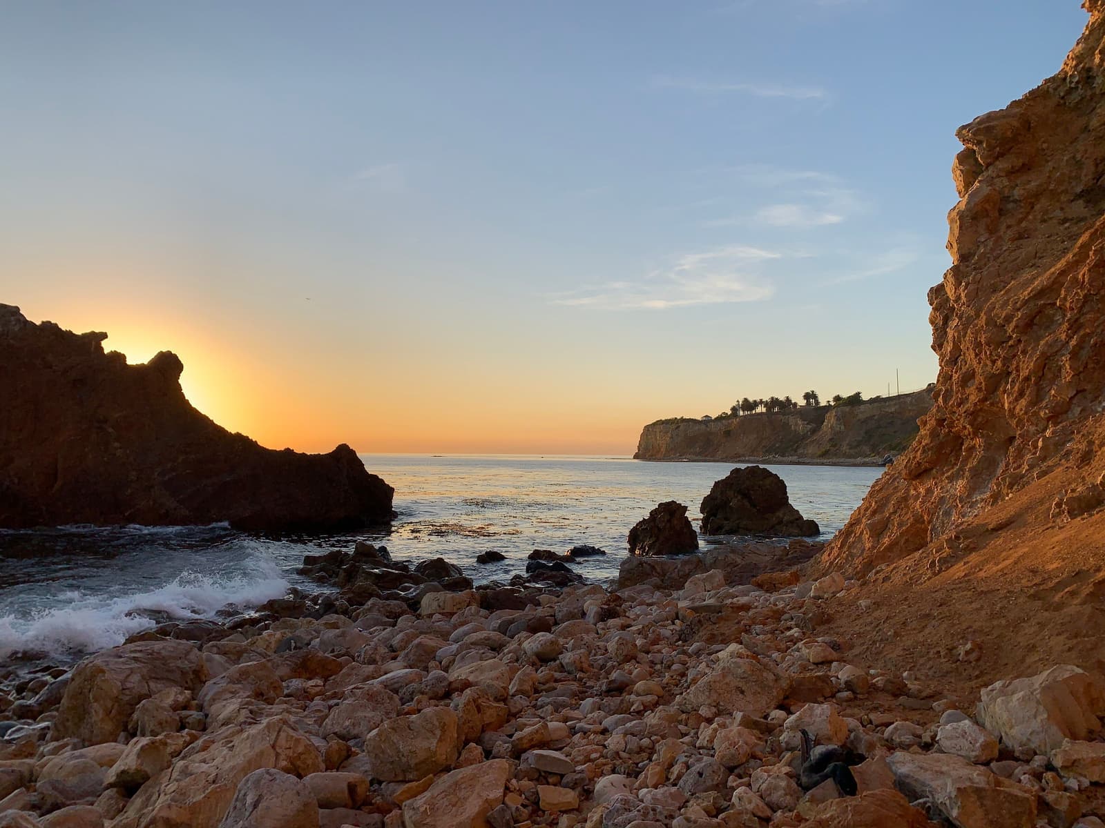
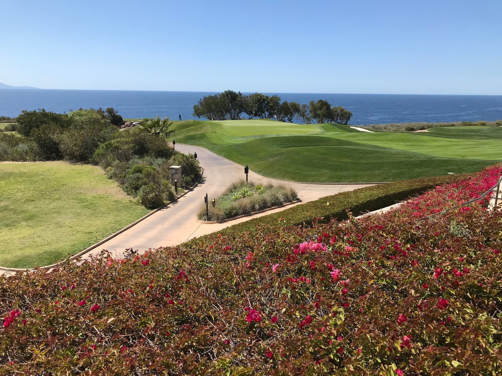
The golf course is the landmark. It was built as Ocean Trails and rebuilt as Trump National Golf Club, Los Angeles after a landslide under its 18th hole, and its coast is public, which is rare for high-end golf. The city's Ocean Trails Reserve trails run along the ocean edge, Founders Park sits at the eastern corner, and switchbacks lead down to the rocky beach. Whatever you think of the name on the gate, the bluff is open to everyone.
Now the ground. The Portuguese Bend slide reaches western Seaview, where 105 homes lost power in September 2024, and the course had its own slide in 1999. Every sale in the area comes with landslide-area disclosures. Prices already reflect that, which is where a careful buyer can do well.
Seaview asks about what Rancho Palos Verdes does as a whole.
A square foot in Seaview costs 9% more than across Rancho Palos Verdes.
Listings in Seaview have been on the market 16 fewer days than across Rancho Palos Verdes.
82% of the homes for sale in Seaview are single-family houses.
Homes for sale in Seaview are about the size of those across Rancho Palos Verdes.
Each card sets the median in Seaview against all of Rancho Palos Verdes. The arrow on a card lists every Rancho Palos Verdes neighborhood we cover. Asking prices for homes on the market right now inside each mapped area, not sale prices. Updated October 17, 2026, 10:00 AM PT
17 active listings in the mapped area
I’m a Realtor based in Long Beach, and Rancho Palos Verdes is one of the cities I work most. Tell me what you’re after in Seaview & Ocean Trails and I’ll help you get there.
Slava Ploshkin · DRE #02323623English and Russian · How I work in Rancho Palos Verdes
The restaurants, cafes, shops, parks, and landmarks that give Seaview & Ocean Trails its everyday character, most within a short walk.
7 places
Pick one and I’ll show you where it is.
Recreation10 min walk
The public clifftop course on the former Ocean Trails land. Its 18th hole slid toward the sea in June 1999, just before opening; the Trump Organization bought the bankrupt course in 2002 for $27 million and rebuilt it.
The course is public, and so is its coast: the bluff trails and beach access below the fairways are free to walk.
Park10 min walk
The public clifftop park at the course's eastern edge on La Rotonda Drive, with lawns, ocean overlooks, and trailheads down toward the shore.
An easy sunset stop. You park and walk straight onto the lawn.
Beach5 min walk
Public bluff and beach trails along the golf course's ocean edge, with switchbacks down to the coves, running toward San Pedro.
Recreation20 min walk
The city reserve on the old quarry slopes above Ladera Linda, with exposed rock in the canyon walls and ridgeline views over the whole coast.
Some Forrestal trails have been closed since 2024 because of land movement; check the city's trail page first.
Restaurant25 min walk
Trump National's restaurant, open to the public, with clifftop ocean views.
Park25 min walk
The city park and community center at the foot of the Ladera Linda hillside, the east side's neighborhood park.
Recreation20 min walk
Bluff trails from Founders Park along the Ocean Trails Reserve, with switchbacks down to the beach.
The course's own landslide, and what it tells you about this coast.
On June 2, 1999, with the Ocean Trails course nearly finished and close to opening, an ancient landslide under its 18th hole woke up and most of the hole slid about 50 feet toward the sea. It made national news, and a leaking county sewer line that had soaked a thin clay layer is believed to have helped trigger it. The course went bankrupt, and on November 26, 2002 the Trump Organization bought it for $27 million and rebuilt it under the current name.
What it left residents is a public course whose bluff-top acres keep the ocean edge open, with trails and a park running through it. It also left a reminder that this coast moves. Engineering here never really stops, and stabilization work along the shore, like dewatering, monitoring and regrading, is a normal part of the landscape.
Founders Park on La Rotonda Drive, the bluff-top trail loop and the switchbacks down to the rocky beach are all free, kept public by the course's coastal permits and the city's Ocean Trails Reserve. Locals walk the loop in the evening, and nobody asks for a tee time.
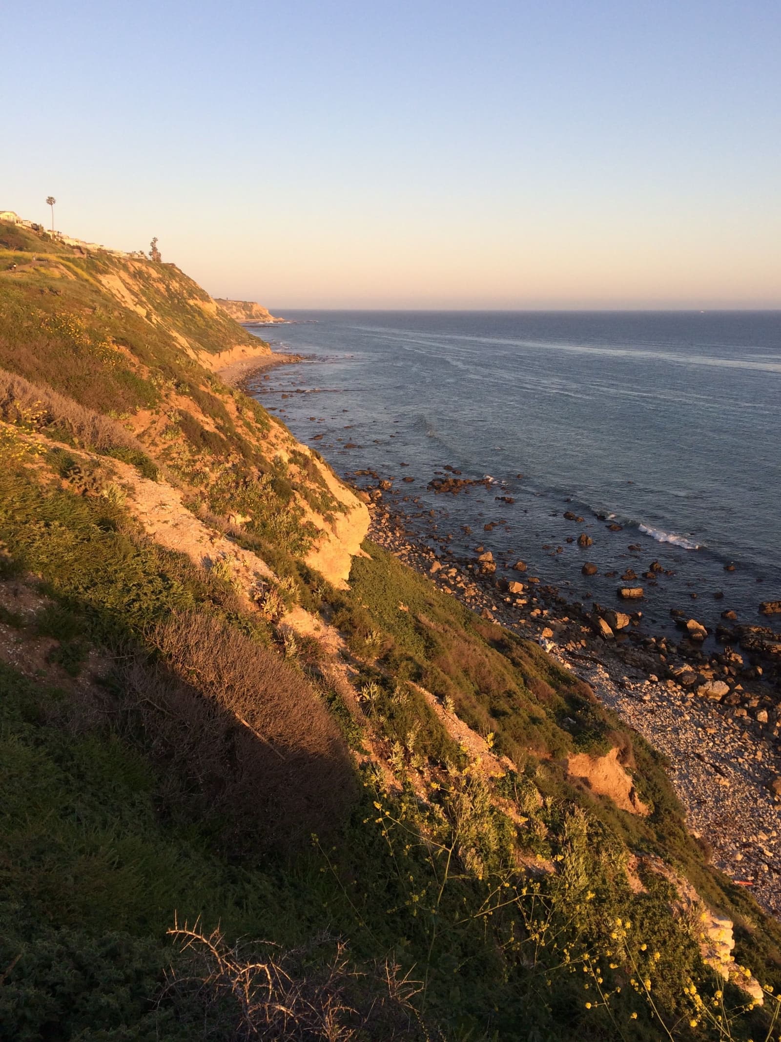
Similar houses can price very differently depending on where they sit on the landslide map.
Most of the market is Seaview's rows: modest late-1950s and 1960s homes, many still original, on streets aimed at the island. Remodels here usually open up the ocean-facing wall, and the price gap between an original house and a finished one is often wide enough to pay for the work.
Ladera Linda, upslope, gives up closeness to the water for height. The views are bigger, the Forrestal trails start nearby, and there's one road in, so it's quiet. The city park and community center at its base are the area's gathering spot.
Western Seaview is a different story. In September 2024 Edison cut power to 105 of Seaview's roughly 270 homes, and on September 6 SoCalGas shut off gas to 28 homes in western Seaview. Power came back, SoCalGas began restoring gas in May 2025 after reporting no measurable movement in Seaview since that February, and in August 2025 the city added seven Seaview lots to its landslide area, where new homes and additions are now banned. The western streets also sit beside the Klondike Canyon landslide abatement district. Homes there sell with thicker disclosure packets and at prices that reflect the geology, so two similar houses a few streets apart can price very differently.
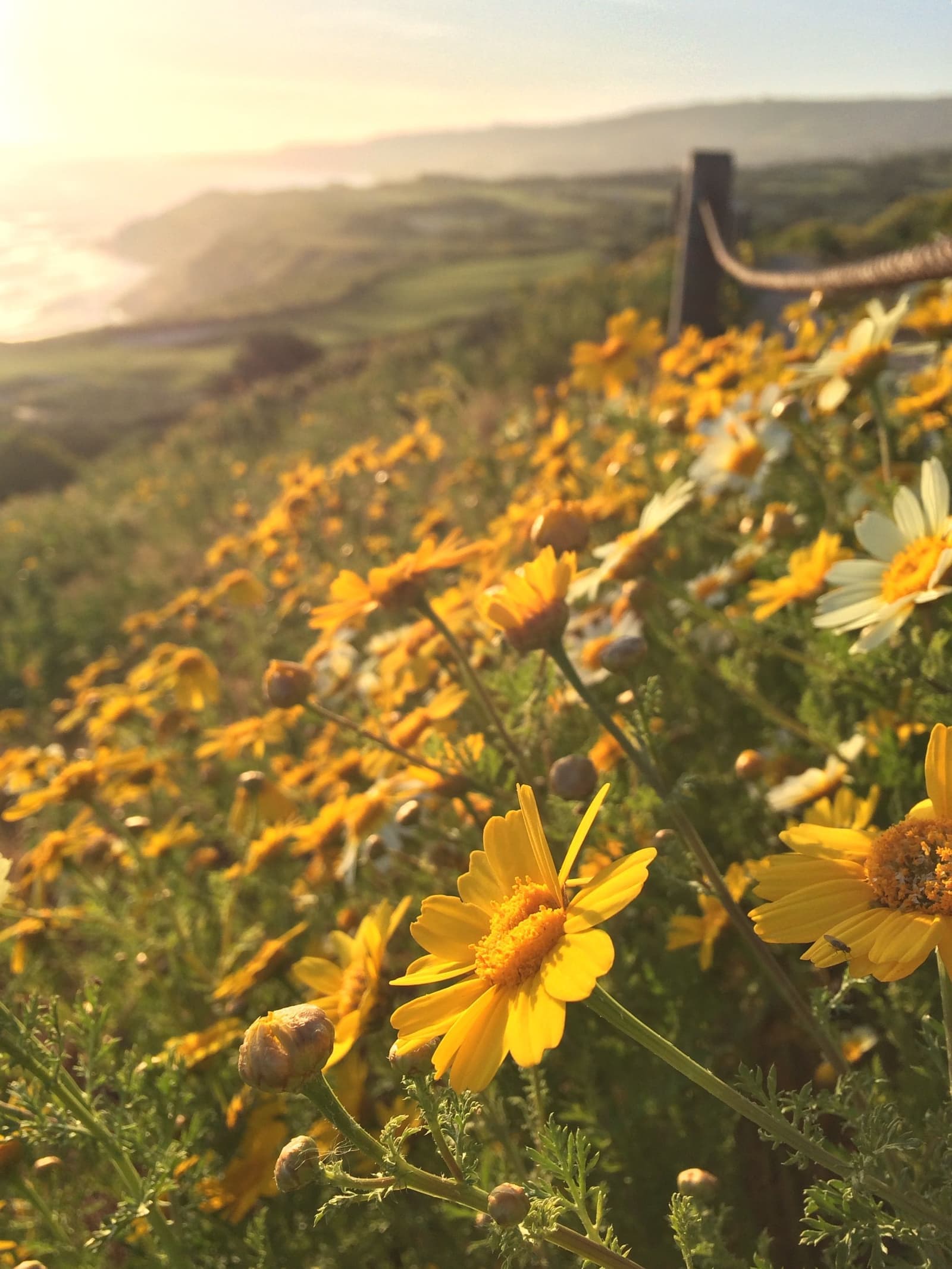
Closer to the freeway than the rest of the coast.
Daily life here leans outdoors. The golf-course loop and Founders Park cover the sunset walk, and Forrestal's old quarry bowl gives hikers and mountain bikers a canyon five minutes from home, though some of its trails have been closed for land movement since 2024. Abalone Cove, ten minutes west, has kept its beaches closed since July 2024, so for now the Ocean Trails switchbacks are the closest way down to the water.
Errands run east. Western Avenue at the San Pedro border has the supermarkets, pharmacies and everyday retail for this side of the hill, closer than anything the western Peninsula has. The strip has its small local spots too, like Granny's Yogurt for the after-school stop.
Schools are in the Palos Verdes Peninsula Unified School District, and the district can tell you which ones a given house feeds. Commuting is easier here. The Harbor Freeway on-ramps in San Pedro are much closer than any freeway is to the western coast, and you'll feel that if you drive north or downtown every day.
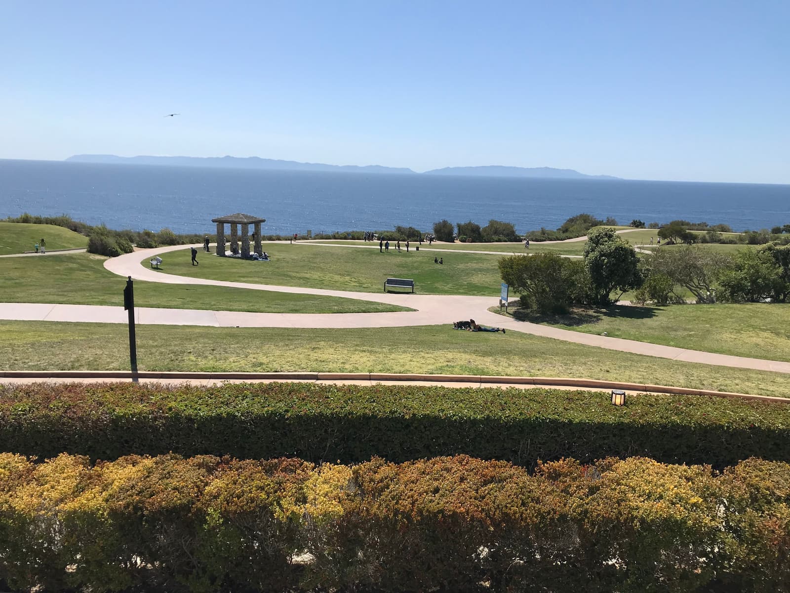
Most of the discount comes from the landslide paperwork, which is where the value is.
The Seaview and Ocean Trails area generally prices below comparable coast on the western Peninsula. The reasons are the landslide paperwork, plainer retail on the east side, and buyers who connect the whole south shore with risk. If you actually read the geology, that discount can work for you.
As of September 2026, 17 homes were for sale in our map area: three condos on La Rotonda Drive at about $975,000 to $1.23 million, older Seaview-tract houses from about $1.7 million to $2.8 million, and newer view homes near the course from about $4 million to $18.9 million. Within the tracts, finished rows with opened-up ocean walls sit at the top, Ladera Linda's view homes close behind, originals are the project play, and the western streets closest to the slide price against their disclosure packets.
Look at a house in the order locals do: geology report and disclosure packet first, then the view, then comps on the same street and map zone. The ground file is what the negotiation turns on.
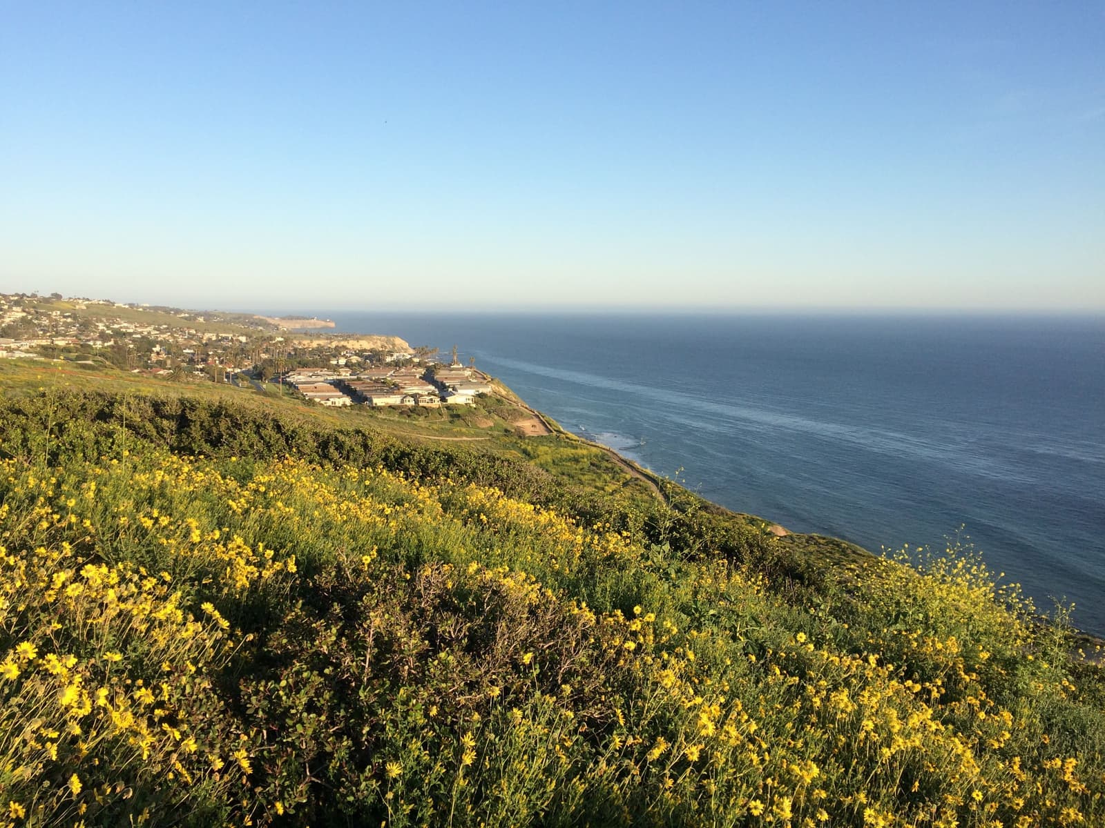
Start with the landslide maps and disclosures, because here they decide the price.
Locate the property on the city's landslide and hazard-district maps first, including the landslide area the city expanded in 2025 and the Klondike Canyon abatement district, and read the seller's landslide-area disclosures line by line.
Match the geology review to the location: a records check on the stable interior rows, a full site assessment anywhere near the western edge or the bluff. Ask about foundation type and any leveling history, whether the home lost utilities in 2024 and what was restored, and what stabilization work the city or districts have done on that street. Inside the landslide area, you can repair or replace within the existing footprint but can't add on.
Last is money: insurance quotes for the specific address and a lender's written comfort with the disclosure file, both inside your contingency period. Fire is part of that quote, since on CAL FIRE's 2025 map, which the city adopted without changes, about three quarters of the homes in our Seaview map are in a Very High Fire Hazard Severity Zone and the rest are High or Moderate.
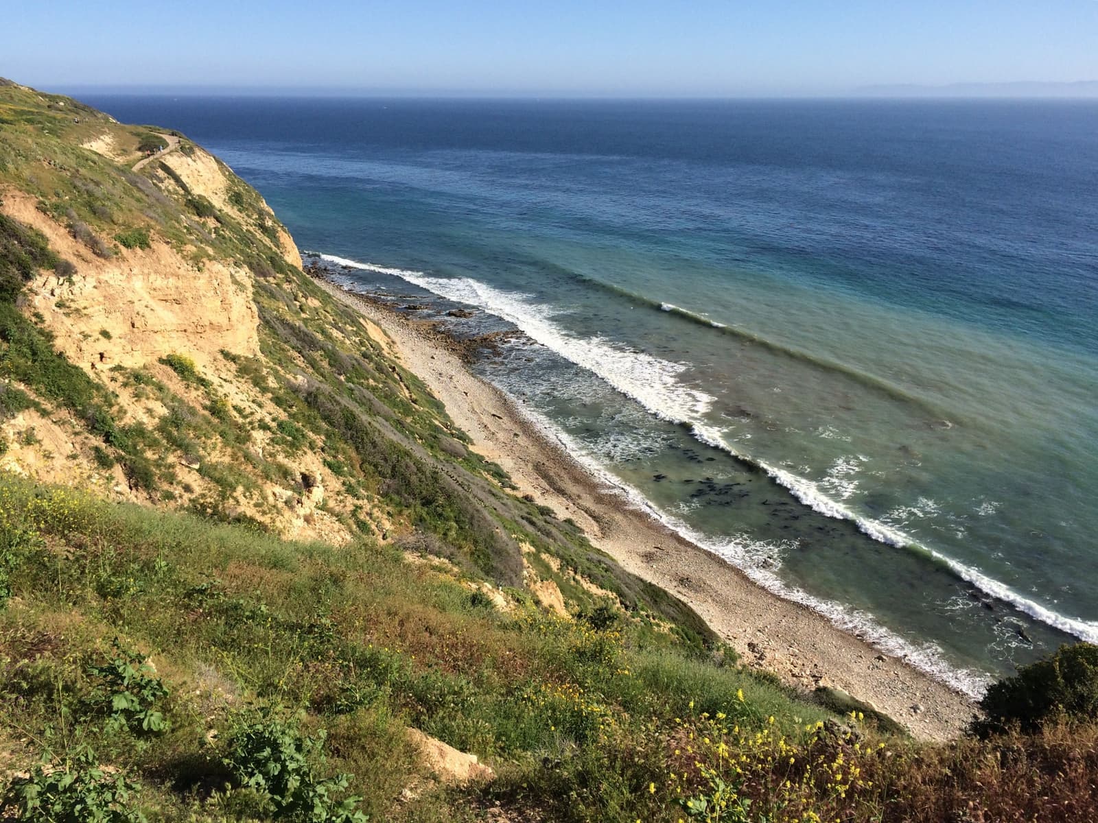
2 active rentals in the mapped area
Yes, if you want Catalina views and a public coast and don't mind reading landslide paperwork. Seaview has late-1950s and 1960s homes on streets aimed at the island, the free trails and park of the Trump National coast next door, and the east side's practical advantages: closer errands on Western Avenue and the Peninsula's best freeway access. What you accept in return is geology. Western Seaview lost power and gas during the 2024 acceleration of the Portuguese Bend slide, and seven Seaview lots were added to the city's landslide area in 2025, which is why the area prices below the western Peninsula.
The facts in this guide (districts, zones, rules) come from the official records below. We re-check them before property tours.