





Hollywood Riviera asks 2.6 times as much as Torrance does as a whole.
Torrance, California · Neighborhood guide
Hollywood Riviera
Torrance's beach hill, Clifford Reid's 1928 tract that mostly got built in the 1950s, with Riviera Village a walk away in Redondo Beach
Median askingHollywood Riviera$2.35M16 for sale
See homesHollywood Riviera, in short.
The Hollywood Riviera is the hillside neighborhood in Torrance's southwest corner, climbing from Torrance Beach to the Palos Verdes Estates line. Developer Clifford Reid opened the tract in 1928, but sales stalled until after the war, and county assessor records date about three quarters of its roughly 2,900 houses to the 1950s, on lots that mostly run 6,300 to 7,800 square feet. About two thirds of those houses carry a Redondo Beach 90277 mailing address even though they're in Torrance. As of September 2026, most houses for sale asked about $1.8 million to $2.8 million. Riviera Village, the shopping street, is across the city line in Redondo Beach.
Hollywood Riviera by the numbers.
- 10,831Population
- 64%Bachelor's degree or higherage 25+
- $139,628Median household income
- 49.8Median age
- 1928OpenedGrand opening fiesta March 4, 1928
- 74%Built in the 1950sOf about 2,900 houses, per county assessor records
Sources: U.S. Census Bureau, ACS 5-year 2019–2023; neighborhood facts compiled by The Slava House.
Torrance's corner of the coast
A 1928 hillside tract, mostly built in the 1950s and split by a city line and a postal quirk.
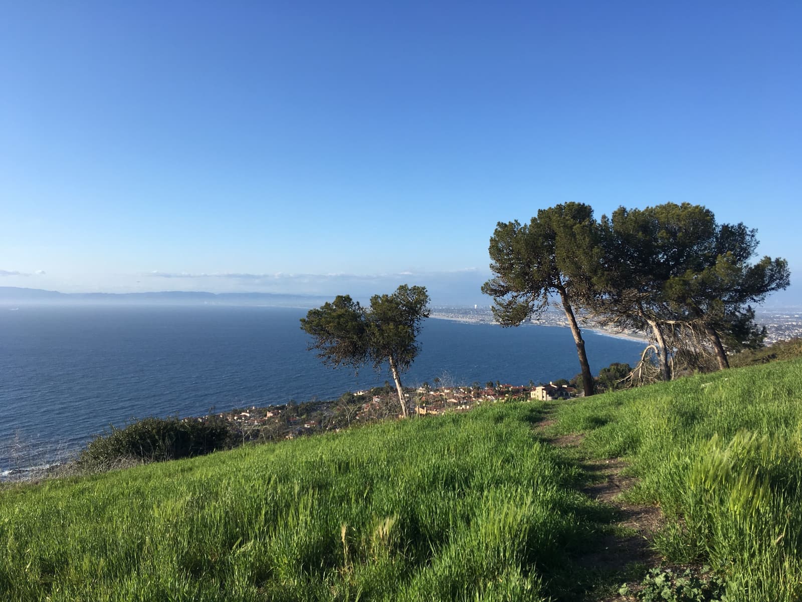
The Hollywood Riviera is Torrance's southwest corner, where the city meets the ocean. Its streets climb from Torrance Beach and Pacific Coast Highway to the Palos Verdes Estates line, and most carry the Spanish names Clifford Reid gave them in the late 1920s.
The name crosses a city line. Reid's 640-acre tract ran across what became Torrance and Redondo Beach, and the shopping street it produced, Riviera Village, is on the Redondo side. This guide covers the Torrance side: the beach, the bluff, and the hill, from Anza Avenue west to the sand.
One quirk confuses buyers. About two thirds of the houses on the Torrance side carry the 90277 ZIP and a Redondo Beach mailing address, because the Redondo Beach post office delivers there. The land, taxes, permits, and schools are Torrance, and children are zoned to Torrance Unified regardless of the address.
Reid's plan stalled in the Depression, so the Riviera is mostly a 1950s neighborhood. County assessor records date about three quarters of its roughly 2,900 houses to that decade and fewer than 40 to Reid's era. Add 28 bluff-top lots on Paseo de la Playa and about 370 condos and townhomes, most from the 1970s.
There's more to check here than elsewhere in Torrance. Additions go through the 1977 Hillside Overlay. The bluff failed in 2016, a hillside gave way in February 2024, and the 2025 state fire map put a strip along the Palos Verdes line in moderate to very high fire hazard zones.
Live from the MLS
Hollywood Riviera compared with all of Torrance.
A square foot in Hollywood Riviera costs 63% more than across Torrance.
Hollywood Riviera$1,003
All of Torrance$615
Listings in Hollywood Riviera have been on the market 3 days longer than across Torrance.
What’s for sale
69% of the homes for sale in Hollywood Riviera are single-family houses.
- Single-family69%11 homes
- Condo19%3 homes
- Multi-unit6%1 home
- Other6%1 home
Homes for sale in Hollywood Riviera are 83% bigger than across Torrance.
Hollywood Riviera2,492 sq ft
All of Torrance1,361 sq ft
Each card sets the median in Hollywood Riviera against all of Torrance. The arrow on a card lists every Torrance neighborhood we cover. Asking prices for homes on the market right now inside each mapped area, not sale prices. Updated October 4, 2026, 12:00 AM PT
Homes for sale in Hollywood Riviera
16 active listings in the mapped area
$1,995,000
Single-Family5 bd3 ba1,976 sqft
5409 Calle Mayor
$2,500,000
Single-Family5 bd2 ba2,616 sqft
148 Vista Del Parque
$3,695,000
Single-Family5 bd4 ba2,685 sqft
205 Via Los Altos
$935,000
Condo2 bd2 ba1,305 sqft
5920 S Pacific Coast Highway 30
$1,850,000
Single-Family2 bd2 ba1,400 sqft
244 Via Buena Ventura
$2,499,000
Single-Family4 bd2 ba2,492 sqft
224 Vista Del Parque
$2,199,000
Single-Family3 bd3 ba2,397 sqft
444 Via El Chico
$1,739,000
Single-Family3 bd2 ba1,468 sqft
4413 Paseo De Las Tortugas
$30,000,000
Single-Family10 bd15 ba15,728 sqft
417 Paseo De La Playa
$4,200,000
Mixed Use
6164 S Pacific Coast Hwy
$3,495,000
Multi-Family10 bd8 ba4,784 sqft
313 Calle Miramar
$2,499,000
Single-Family4 bd3 ba2,778 sqft
5106 Paseo Del Pavon
$950,000
Condo1 bd1 ba1,031 sqft
1920 S Pacific Coast HWY 312
$2,199,000
Single-Family8 bd5 ba3,054 sqft
4609 Highgrove Avenue
$1,225,000
Condo1 bd1 ba1,070 sqft
201 Calle Miramar 29
$4,299,998
Single-Family4 bd3 ba4,004 sqft
664 Calle Miramar

Still deciding? Ask me.
I’m a Realtor based in Long Beach, and Torrance is one of the cities I work most. Tell me what you’re after in Hollywood Riviera and I’ll help you get there.
Slava Ploshkin · DRE #02323623English and Russian · How I work in Torrance
Where to eat, shop, and explore in Hollywood Riviera
The restaurants, cafes, shops, parks, and landmarks that give Hollywood Riviera its everyday character, most within a short walk.
11 places
Pick one and I’ll show you where it is.
Beach15 min walk
The county-run beach at the foot of the hill: 40 acres of sand with lifeguards in daylight hours, showers, a concession stand, and volleyball nets. The 22-mile Marvin Braude Bike Trail ends here.
The county counts more than 300 parking spaces between the lot on Paseo de la Playa and the street; come early on summer weekends.
Park15 min walk
The bluff-top park at the north end of the beach, dedicated by the city on January 11, 1984. It sits on the site of the Hollywood Riviera Beach Club, which opened in 1931, closed in 1942, and burned in 1958.
Walk north from here; the bluff path becomes Redondo's Esplanade.
Beach · Nearby25 min walk
The cove south of the lot toward Malaga Cove, which the county explains as Right After Torrance. It's a local surf, dive, and spearfishing spot with a kelp forest offshore.
Shopping15 min walk
The Torrance-side shopping center at Pacific Coast Highway and Calle Mayor, with a Ralphs at 5035 Pacific Coast Highway, the neighborhood's own errands stop.
Restaurant15 min walk
The ZENSHI sushi counter inside the Plaza Mayor Ralphs, with grab-and-go rolls made in the store.
Shopping · Nearby15 min walk
Redondo Beach's shopping and dining district on Catalina and Elena avenues, more than 300 shops, restaurants, and services between Pacific Coast Highway and the ocean. It grew out of Reid's tract and shares its name, but it isn't in Torrance.
Walkable from the Torrance streets nearest Palos Verdes Boulevard; a short drive from the upper hill.
Coffee · Nearby10 min walk
An espresso bar at 1815 South Catalina Avenue in Riviera Village, the morning walk for the lower streets.
Restaurant · Nearby10 min walk
An Italian kitchen at 211 Palos Verdes Boulevard at the edge of Riviera Village, a block from the city line.
Restaurant · Nearby5 min walk
A steakhouse at 1810 South Pacific Coast Highway on the Redondo Beach side, across the road from the Riviera's northern streets.
Recreation · Nearby20 min walk
Redondo Beach's bluff-top walking street, which Paseo de la Playa turns into north of Miramar Park; the usual evening walk and run from the Riviera.
Landmark · Nearby25 min walk
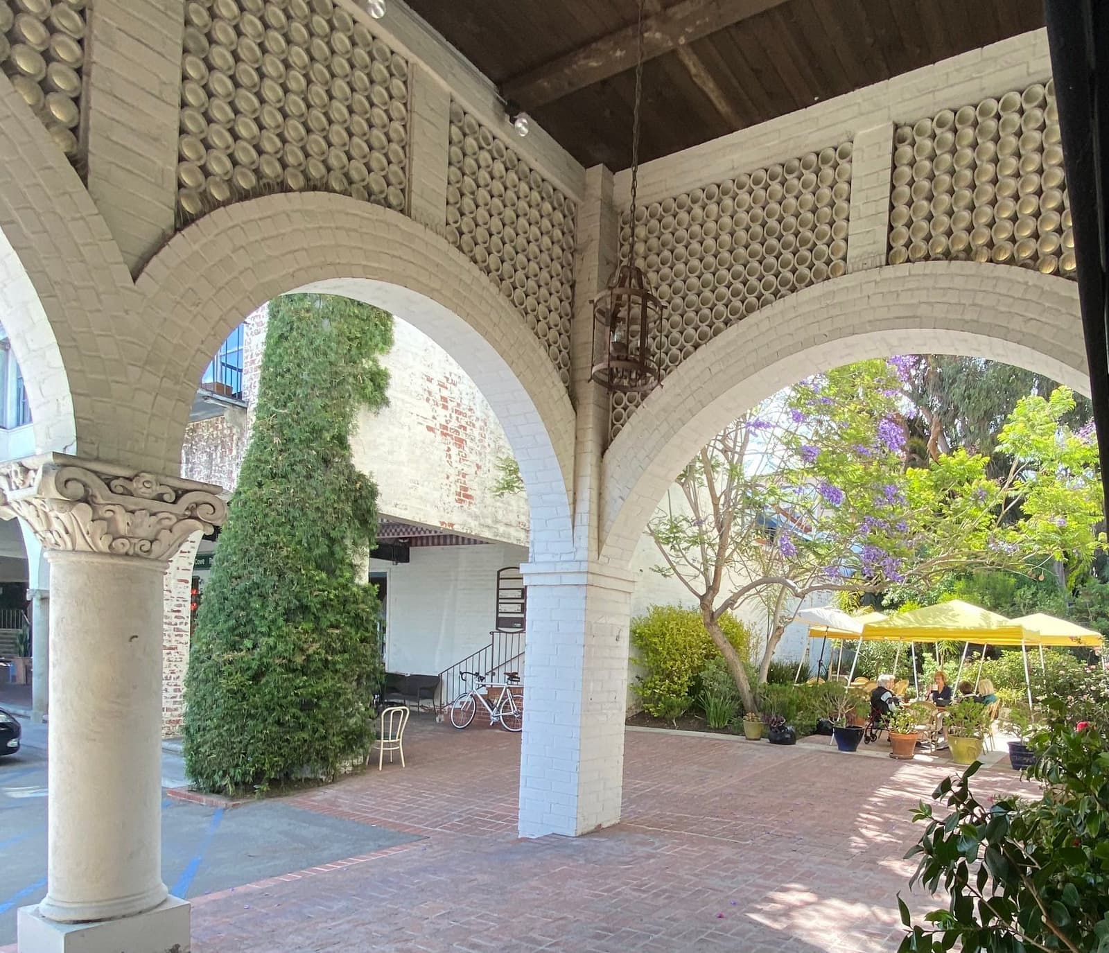
The arcaded 1920s plaza of the Palos Verdes Project, about a mile south in Palos Verdes Estates, with a small cluster of shops and the peninsula's older Mediterranean architecture.
Clifford Reid's Riviera, 1926 to 1958
A $15 million plan for the movie crowd that the Depression put on hold until the 1950s.
Clifford Reid was a Los Angeles real-estate broker with an office on Western Avenue. In 1926 he bought 640 acres of unincorporated land from the Huntington Land Company, and Torrance's Meadow Park annexation, approved January 18, 1927, put most of it inside the city.
Reid announced a $15 million plan on February 18, 1927, and named it for the view he pictured from the hill, a European Riviera over the South Bay shoreline. An art jury required Mediterranean cottages with red tile roofs, the streets got names from the Spanish coast, and utility wires went underground, unusual for the time. The grand opening fiesta was held on March 4, 1928, with lots selling for about $3,500.
Reid courted Hollywood. Gary Cooper, Clark Gable, and Clara Bow were among the stars who toured the tract, but actress Rosemary DeCamp was the only one who bought a house and stayed. Ownership was restricted, with no minorities allowed, which ruled out MGM's Louis B. Mayer, who was Jewish and reportedly interested.
The Hollywood Riviera Beach Club was the other lure. Ground was broken on March 4, 1930, and the club opened on June 27, 1931, with a 75-foot pool on the bluff above Torrance Beach. It closed in 1942 and burned in the early hours of September 25, 1958, and the beach below picked up the nickname Burn Out Beach. The city dedicated Miramar Park on the site on January 11, 1984.
The Depression stalled sales. By the early 1940s only a few dozen lots had sold, and Reid sold his share in 1947. In the 1950s, builders filled the vacant streets left from the 1920s plan with hundreds of houses, drawn by lots that came with a view. The Riviera Homeowners Association has served the Torrance side since 1945, and in 1977 the city council adopted the Hillside Overlay to keep the hill from being overbuilt.
- 640 acres bought in 1926; $15 million plan announced February 18, 1927
- Grand opening March 4, 1928; Mediterranean cottages required by an art jury
- Beach club 1931 to 1942, burned 1958; 1950s houses filled out the tract
Torrance Beach and RAT Beach
A county beach with lifeguards and 300 parking spaces, and the end of the bay's bike path.
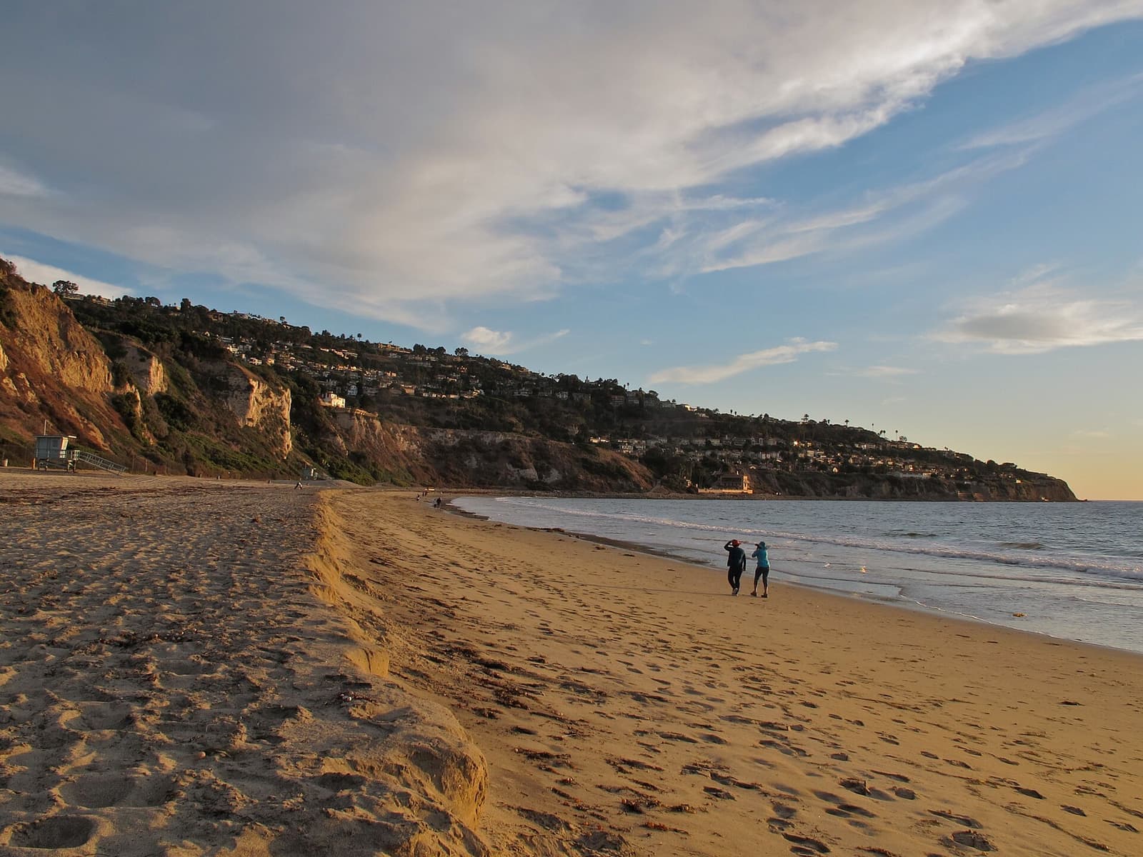
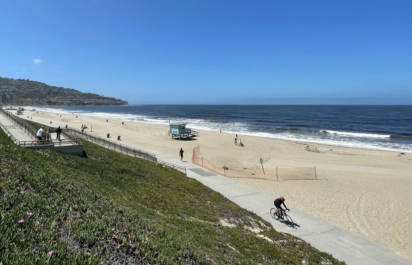
Torrance Beach is the neighborhood's front yard. Los Angeles County runs the 40-acre beach at 387 Paseo de la Playa, with lifeguards in daylight hours, restrooms, showers, a concession stand, volleyball nets, and beach wheelchairs. The county counts more than 300 parking spaces in the lot and on the street.
The Marvin Braude Bike Trail ends here. The 22-mile path from Will Rogers State Beach in Pacific Palisades has its southern end at Torrance County Beach, so you can ride the length of Santa Monica Bay from the bottom of the hill. South of the lot, the cove toward Malaga Cove is RAT Beach, which the county explains as Right After Torrance, a local surf and dive spot with a kelp forest offshore.
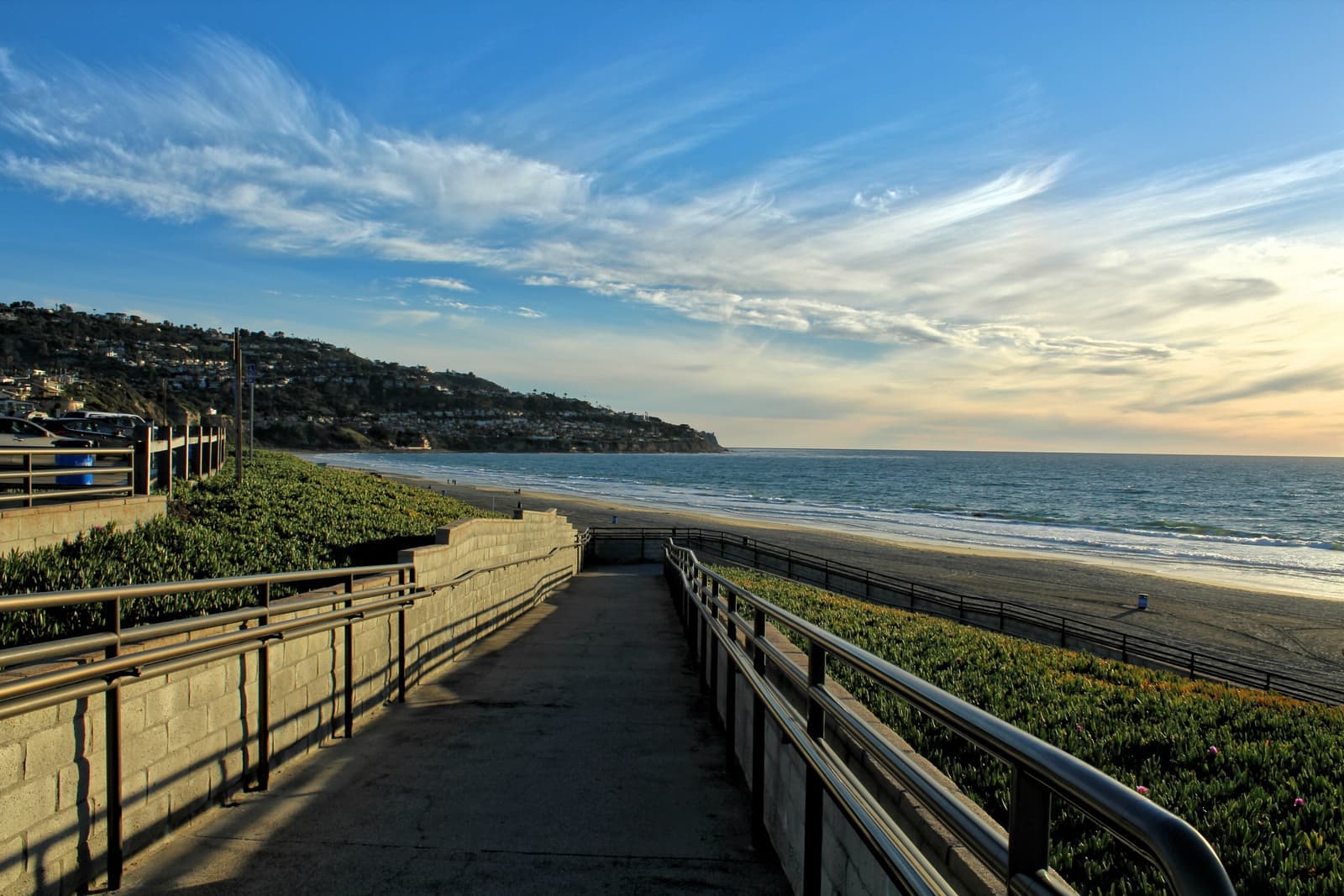
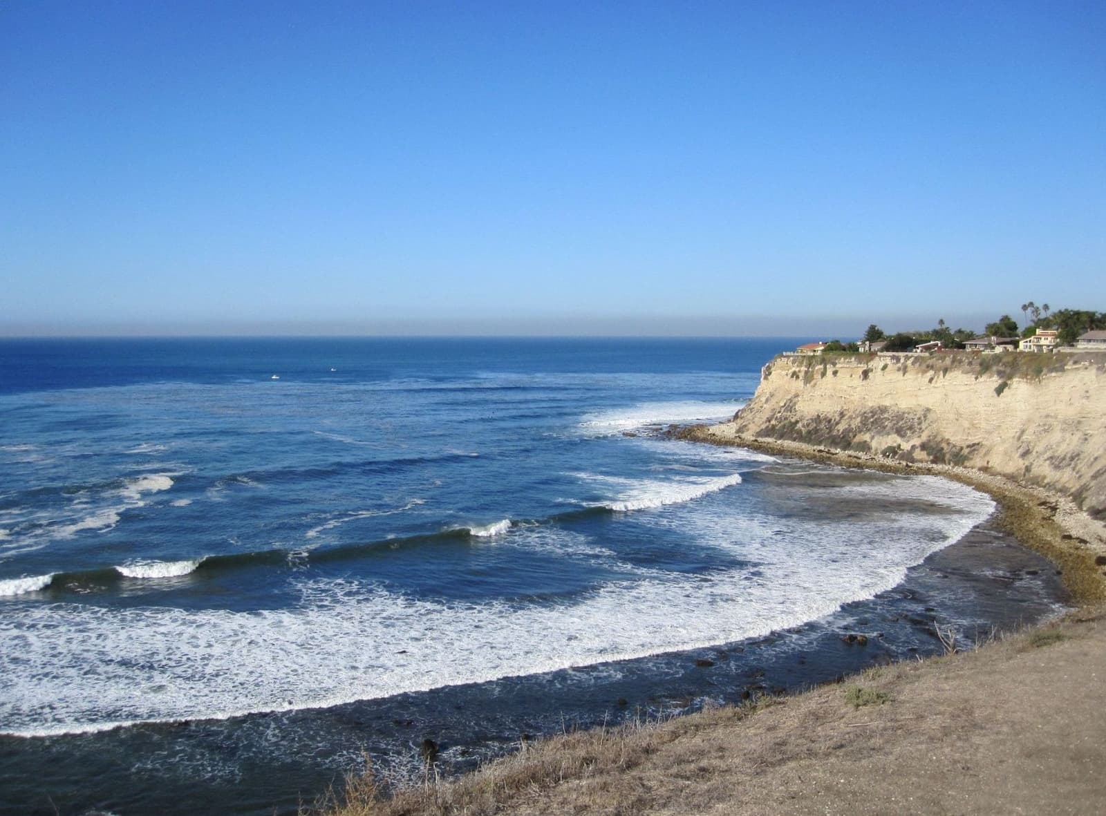
Miramar Park sits on the bluff at the north end, on the beach club site. North of it, Paseo de la Playa becomes Redondo Beach's Esplanade, and Riviera Village is a short walk inland. FEMA maps the sand itself as a VE coastal flood zone; the houses above it are in Zone X.
- County beach with lifeguards, 300+ parking spaces, and the bike path's southern end
- RAT Beach continues south toward Malaga Cove
- Miramar Park, the Esplanade, and Riviera Village within a walk
1950s view houses and 28 lots on the bluff
Mostly post-war, with a few tile roofs left from Reid's day and the trophy lots on Paseo de la Playa.
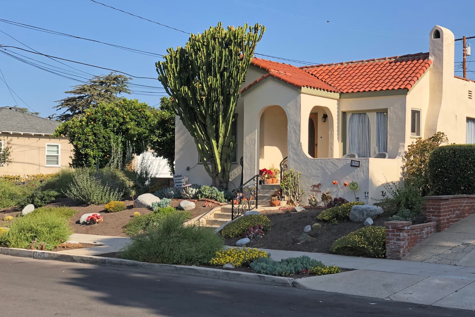
Most of the Riviera is post-war. County assessor records date about three quarters of its roughly 2,900 houses to the 1950s and most of the rest to the late 1940s. They sit on winding streets, on lots that typically run 6,300 to 7,800 square feet, with a median house of about 1,800 square feet. The higher streets add ocean and city views, and the view is what buyers pay for.
Reid's own era is thin on the ground. Fewer than 40 houses from the 1920s and 1930s remain, mostly on the streets near Palos Verdes Boulevard and the beach, and the art jury's tile-roof rule shows in them. About 370 condos and townhomes, most built in the 1970s, fill in the rest.
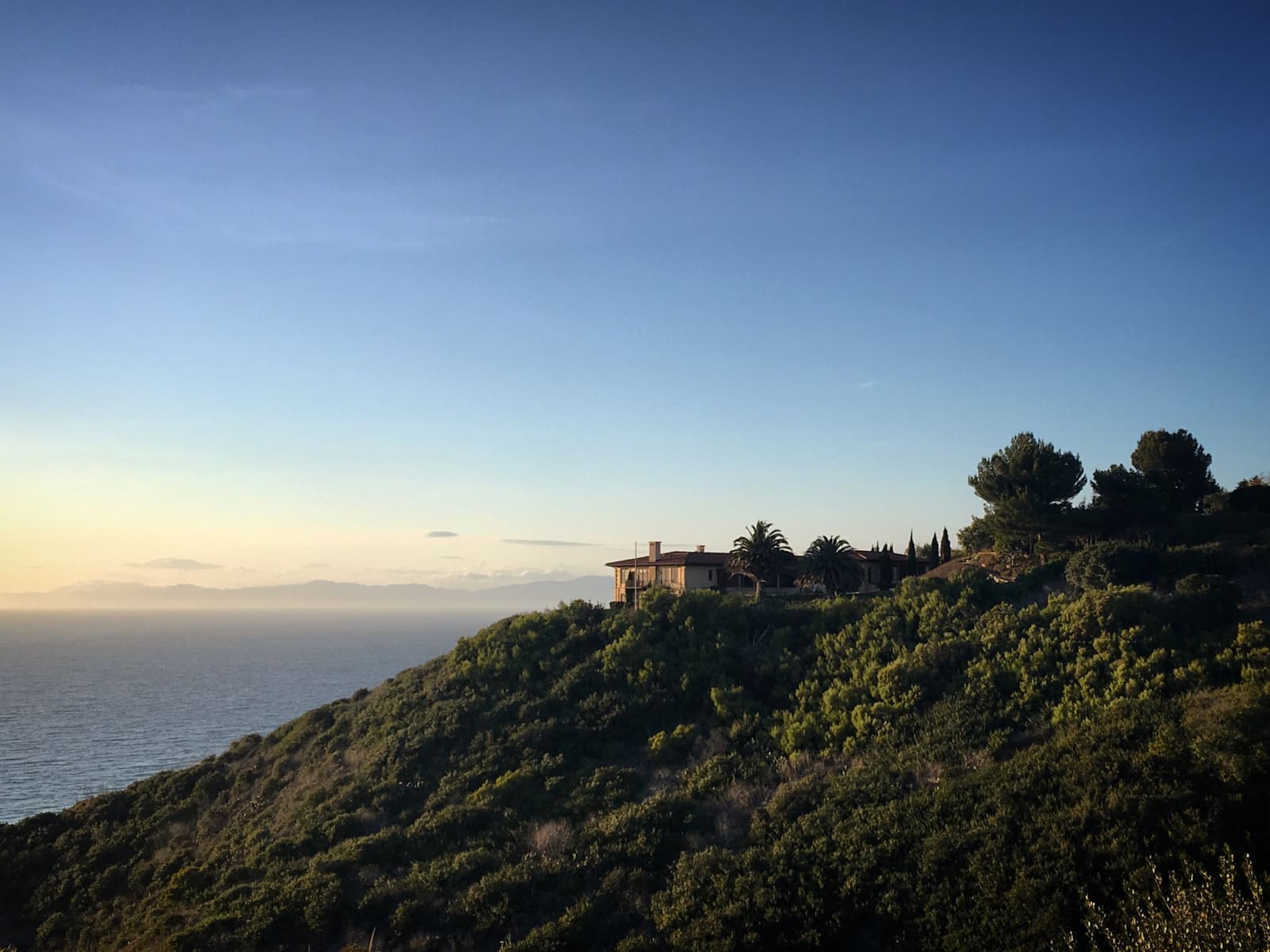
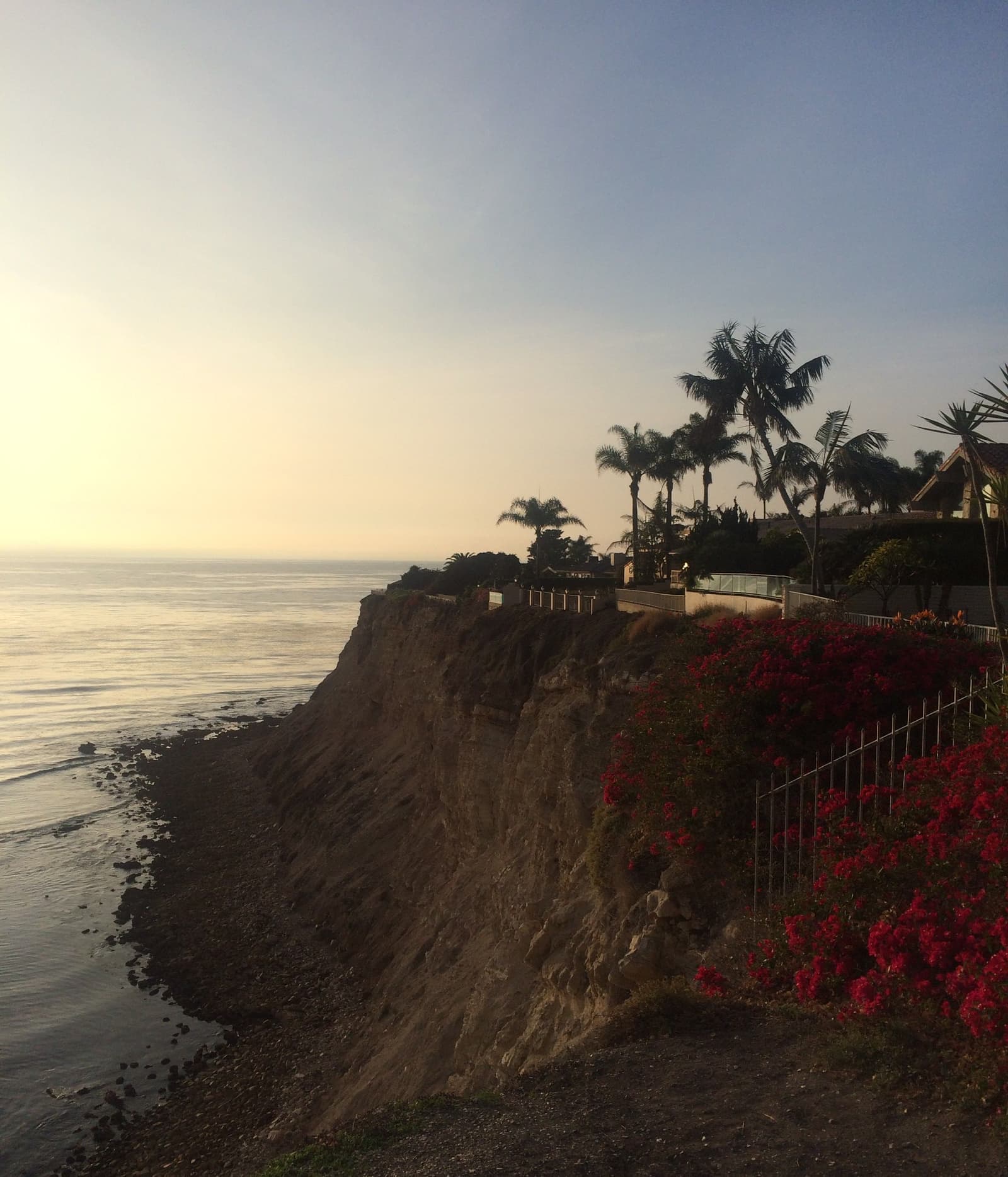
Then the bluff. Twenty-eight lots sit between Paseo de la Playa and the sea, all single-family, on a bluff about 150 feet high. They're the neighborhood's trophy addresses and its most regulated, because the California Coastal Commission, not the city, issues permits for work on them.
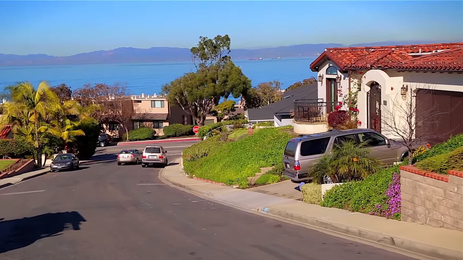
- About three quarters of roughly 2,900 houses built in the 1950s; lots 6,300 to 7,800 sq ft
- Fewer than 40 houses from Reid's 1920s and 1930s era remain
- 28 bluff-top lots on Paseo de la Playa under Coastal Commission permits
Riviera Village is in Redondo Beach
The shopping street shares the tract's name and sits across the city line, a walk from the lower streets.
Riviera Village is in Redondo Beach, even though it grew out of Reid's tract and shares its name. The city line runs along Pacific Coast Highway and then cuts through the blocks between Palos Verdes Boulevard and Miramar Park, and the shops on Catalina and Elena avenues are on the Redondo side.
For daily life the line matters little. Redondo Beach counts more than 300 shops, restaurants, and services in the village between Pacific Coast Highway and the ocean, with a Summer Festival and a Holiday Stroll each year. From the Torrance streets closest to Palos Verdes Boulevard it's a walk; from the upper hill it's a short drive.
On the Torrance side, the commercial strip is Plaza Mayor at Pacific Coast Highway and Calle Mayor, with a Ralphs and everyday shops. The rest of the Torrance side is houses.
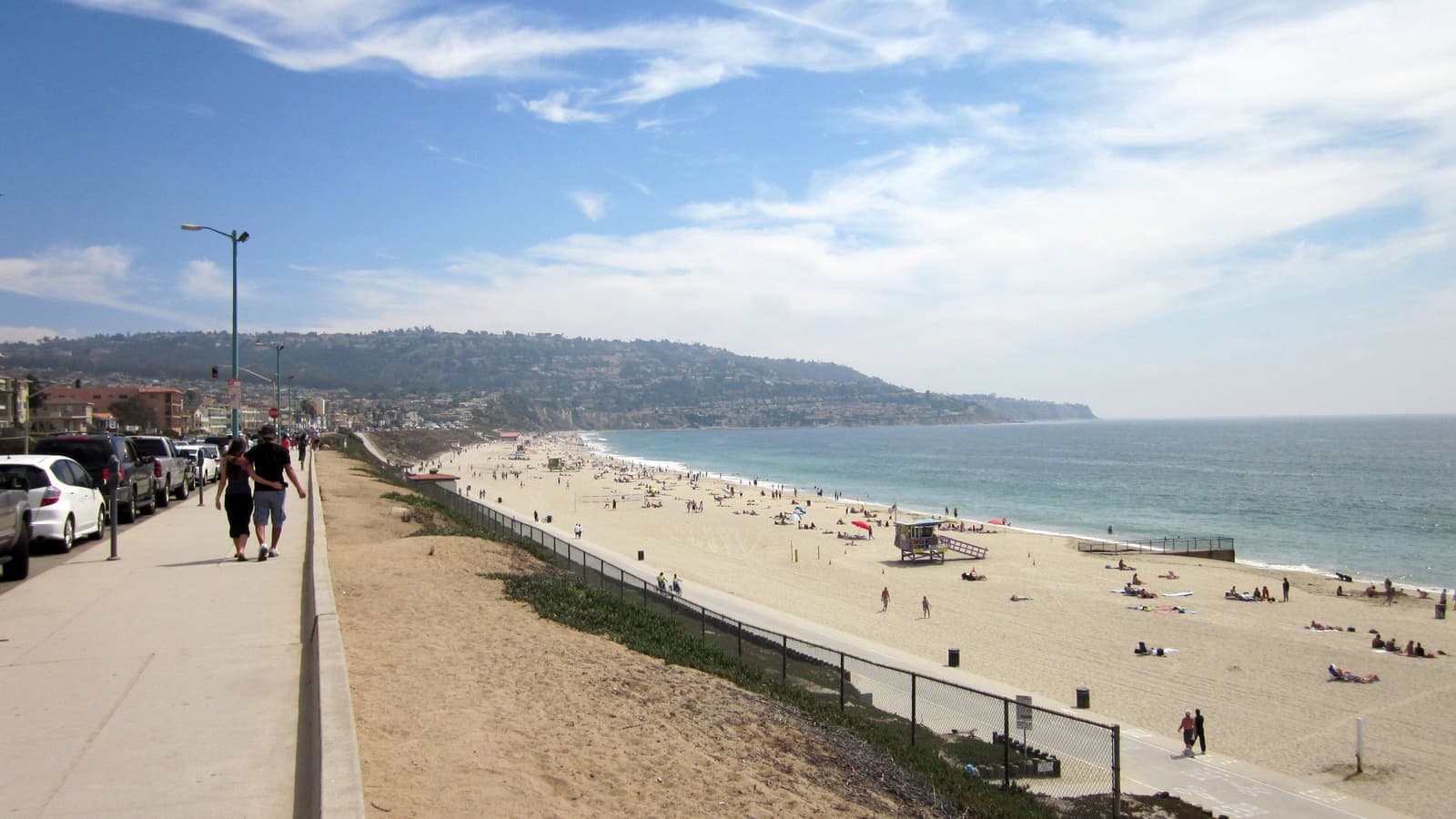
- More than 300 businesses in the village, all on the Redondo Beach side
- Walkable from the lower streets, a short drive from the hill
- Plaza Mayor at PCH and Calle Mayor is the Torrance-side strip
What to check before you buy in the Riviera
Start with which city the house is actually in, since most listings here are filed under Redondo Beach.
Start with the address. If the listing says Redondo Beach 90277 but the parcel is in Torrance, you're buying in Torrance: Torrance taxes, Torrance permits, Torrance Unified schools. In September 2026 most active listings inside our map were filed under Redondo Beach. Confirm the city on the county assessor's parcel record and the school with the district's School Locator, not the mailing address.
Next is the Hillside Overlay, Article 41 of the zoning code, adopted in 1977. A new house or addition skips Planning Commission review only if it stays one story and under 14 feet, keeps living area plus garage under half the lot, has no roof deck or rooftop equipment, and draws no neighbor controversy. Anything bigger needs a Precise Plan, judged on neighbors' view, light, air, and privacy. The Riviera Homeowners Association, a voluntary group with $25 dues rather than an HOA, follows these cases, and it notes that state ADU laws have complicated how the overlay applies.
The bluff is unstable in places. A 2025 Coastal Commission staff report on a Paseo de la Playa lot describes hard Malaga Mudstone capped by looser San Pedro sand about 106 feet above the beach, and a 2016 upper-slope failure that caused a major landslide across two lots. Torrance has no certified Local Coastal Program (its 1981 coastal land use plan lapsed), so the Commission issues bluff permits, typically with a 25-foot setback from the edge for structures, 10 feet for decks and paths, and an assumption-of-risk deed restriction. The same report found almost all of the private stairways and paths on the bluff face unpermitted, so ask for permits on anything below the house.
The inland hill has moved too. After the February 2024 storms, a high-pressure water line burst on February 5 and part of a hillside let go, sending mud into the lower Riviera. In March 2024 the city red-tagged two houses on Paseo de las Tortugas, at the southeast corner, for roof and foundation damage. On any hillside or bluff lot, I'd get a geotechnical report.
Check the fire map. CAL FIRE's 2025 map for local responsibility areas, which Torrance adopted by ordinance in June 2025, puts a band of the Riviera along the Palos Verdes Estates line in moderate, high, and very high fire hazard severity zones. By our count of county parcels, about 130 homes fall in the very high zone, most of them on Calle de Arboles, and about 200 more in the high zone. Zamperini Field is about a mile east of Anza Avenue; the city logged about 27,000 noise complaints in 2023, filed by just 54 people, so check the NoiseLab flight tracks for your block too.
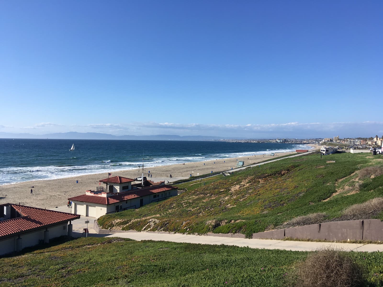
- Redondo mailing address, Torrance parcel: confirm city and school by parcel
- Hillside Overlay: one story, 14 feet, and half the lot, or a Precise Plan
- Bluff slide in 2016, hillside slide in 2024, fire zones along the PVE line
What sets prices in the Hollywood Riviera
It's the top of the Torrance market, and the view decides where on it a house lands.
The Hollywood Riviera prices at the top of the Torrance market because of the beach, the views, and the walk to Riviera Village. As of September 2026, most houses for sale inside our map asked about $1.8 million to $2.8 million, with a bluff-top estate listed far above that. Demand comes from beach-city buyers who want a house and a yard, and from families choosing Torrance Unified's South High feeder pattern.
On the hill itself, a house's price comes down to its view, its lot, where its street sits, and whether it's an original, a 1950s house, or a rebuild. The bluff lots on Paseo de la Playa sit far above everything else. Houses near Pacific Coast Highway and Plaza Mayor, and the condos, are the way in.
The Redondo Beach mailing address doesn't change the value math, but it changes how listings get searched and compared, since many are filed under Redondo Beach. I pull comps for the specific street, not the Riviera as a whole, and I search under both city names so nothing gets missed.
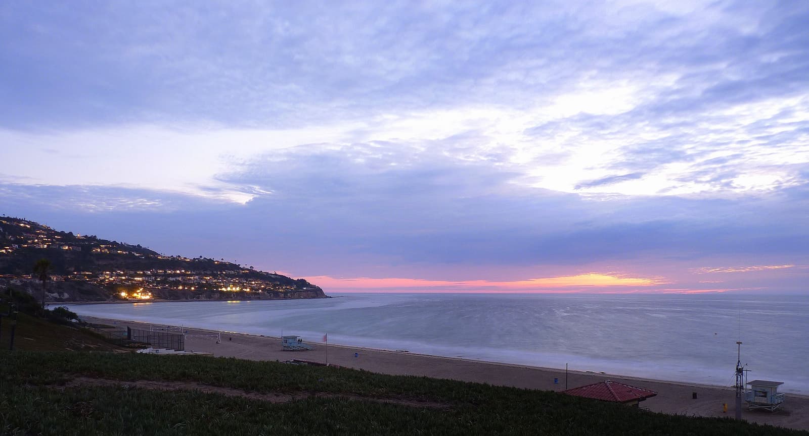
- Most houses asked about $1.8M to $2.8M in September 2026
- View, lot, hill position, and original-versus-rebuild drive price
- Bluff lots far above; streets near PCH and condos are the way in
Getting around the Riviera
The beach and Riviera Village are a walk from the lower streets, but most people up the hill drive.
The beach, Miramar Park and Riviera Village are on foot from the lower streets. From the upper hill most people drive, and the streets wind.
Pacific Coast Highway and Palos Verdes Boulevard carry most trips out, north to Redondo and Hermosa or east toward Lomita. The 405 is north via Hawthorne Boulevard or Crenshaw Boulevard, several miles inland, which makes this one of the longer freeway runs in Torrance. The county lists bus 225 and 226 stops at Palos Verdes Boulevard and Calle Miramar for the beach, and Del Amo Fashion Center is about two and a half miles northeast.
- Beach, park, and village on foot from the lower streets
- PCH and Palos Verdes Blvd are the roads out; the 405 is several miles inland
- County-listed bus stops at Palos Verdes Blvd and Calle Miramar
More Hollywood Riviera facts
- 7,100 sq ftTypical lotMedian; middle half 6,300 to 7,800
- 1977Hillside OverlayView, light, air, and privacy review
- 40 acresTorrance BeachCounty-run, 300+ parking spaces
- 90277ZIP codeOn about two thirds of houses; the rest use 90505




Rentals in Hollywood Riviera
6 active rentals in the mapped area
$7,700/mo
Single-Family4 bd3 ba2,013 sqft
5409 Paseo De Pablo
$15,600/mo
Single-Family4 bd5 ba3,476 sqft
101 Via Colusa
$9,900/mo
Single-Family4 bd5 ba3,222 sqft
413 Paseo De La Concha
$6,500/mo
Single-Family3 bd2 ba1,415 sqft
388 Paseo De Gracia
$11,500/mo
Single-Family4 bd4 ba3,473 sqft
628 Via Monte Doro
$7,250/mo
Townhouse3 bd3 ba1,600 sqft
420 Palos Verdes Boulevard
Renting in Hollywood Riviera
Yes, though it's mostly a for-sale neighborhood of single-family houses. Rentals do come up, including hillside houses and condos near Pacific Coast Highway and Plaza Mayor.
Questions & answers
Mostly Torrance. Clifford Reid's 1928 tract ran across both cities: the beach, the bluff, and most of the hill are in Torrance, while Riviera Village and the blocks around Catalina Avenue are in Redondo Beach. About two thirds of the Torrance-side houses still carry a Redondo Beach 90277 mailing address because the Redondo Beach post office delivers there. They pay Torrance taxes, use Torrance permits, and attend Torrance Unified schools. The parcel record, not the mailing label, tells you the city.
Explore near Hollywood Riviera
1.3 mi away · Palos Verdes EstatesMalaga CoveThe first streets the Olmsteds drew, still centered on a 1920s arcaded plazaRead the guide ›1.9 mi away · Palos Verdes EstatesMontemalagaBig midcentury lots 800 to 1,000 feet up the Palos Verdes Estates hillside, with the Queen's Necklace below at nightRead the guide ›1.9 mi awayWalteriaSouthwest Torrance's 1950s and 1970s streets under the Palos Verdes hills, with an 1880s name and the airport across the highwayRead the guide ›3.5 mi away · Palos Verdes EstatesLunada BayMidcentury view streets on 150-foot bluffs above the Peninsula's best-known winter waveRead the guide ›3.6 mi awayOld TorranceTorrance's original 1912 townsite, where pre-war bungalows still sit on Olmsted's grid around a small downtownRead the guide ›4.9 mi away · Rancho Palos VerdesPoint VicenteThe lighthouse corner of the Peninsula, with whales off the bluff and Trader Joe's up the roadRead the guide ›
Where we check the facts
The facts in this guide (districts, zones, rules) come from the official records below. We re-check them before property tours.
- South Bay History (Daily Breeze) — Clifford Reid and the Hollywood Rivierasbhistoryblog.wordpress.com1926 purchase, 1927 plan, 1928 opening, art jury, stars, restrictions, 90277 mail
- South Bay History (Daily Breeze) — Hollywood Riviera Beach Clubsbhistoryblog.wordpress.com1930 groundbreaking, 1931 opening, 1942 closing, 1958 fire, 1984 Miramar Park
- LA County Beaches & Harbors — Torrance Beachbeaches.lacounty.gov40 acres, lifeguards, parking, RAT Beach, Burn Out Beach
- Torrance Municipal Code — Article 41, Hillside and Local Coastal Overlaycodepublishing.comone story, 14 feet, 50 percent of lot, Precise Plan
- Riviera Homeowners Association — Hillside Overlayhollywoodriviera.org1977 overlay, ADU concerns, RHA since 1945
- California Coastal Commission — staff report 5-23-0546 (Paseo de la Playa)documents.coastal.ca.govno certified LCP, 28 bluff lots, 2016 landslide, setbacks, unpermitted bluff paths
Show all 14 sourcesShow fewer
- KTLA — Torrance homes threatened by landslides (March 15, 2024)ktla.comFebruary 2024 water line break and slide; two houses red-tagged
- CAL FIRE / OSFM — Fire Hazard Severity Zone viewerosfm.fire.ca.gov2025 local responsibility area zones by address
- CAL FIRE / OSFM: 2025 LRA Fire Hazard Severity Zones map service (map dated March 24, 2025)utility.arcgis.comzone levels checked against Assessor parcels, September 2026
- Torrance Municipal Code: Division 8, Chapter 5, Article 4, Fire Hazard Severity Zonescodepublishing.commap adopted by Ordinance 3949
- Torrance Unified School District — School Locatorschoolsitelocator.comattendance areas by address
- Los Angeles County Assessorportal.assessor.lacounty.govyear built, lot sizes, ZIP codes by parcel (2020 roll)
- City of Torrance — Airport Noise Abatementtorranceca.govZamperini Field noise program and NoiseLab
- City of Redondo Beach — Riviera Villageredondo.orgthe village is in Redondo Beach; 300+ businesses
Photo credits (9)
- Two walkers on Torrance Beach in late sun, with the Palos Verdes Peninsula aheadDylanMoz49, CC BY-SA 4.0
- The walkway from the bluff down to Torrance Beach in late afternoon lightDylanMoz49, CC BY-SA 4.0
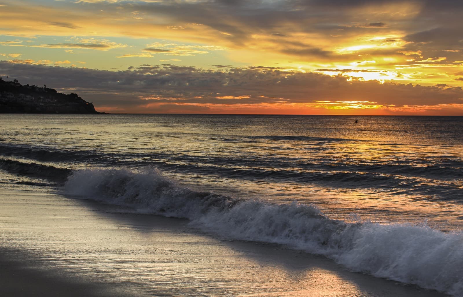
- Sunset over Torrance Beach, with the Palos Verdes headland on the leftDylanMoz49, CC BY-SA 4.0
- Ice plant blooming on the Torrance Beach bluff as the sun goes downLilac55, CC BY-SA 4.0
- A hillside street in the Riviera, with Santa Monica Bay belowGnarstynick69, CC BY-SA 4.0, cropped
- The Esplanade in Redondo Beach, looking south toward Torrance BeachCardinalngold at English Wikipedia, Public domain
- The bluff above Torrance Beach, with the shore running north to RedondoSergei Gussev, CC BY 2.0
- Blue hour over Torrance Beach, with lights coming on along the Palos Verdes hillVishal Jalan, CC BY 2.0
- The beach bike path below Miramar Park, the end of the 22-mile trailThurifer, CC BY-SA 4.0, cropped