





Corona del Mar asks 31% more than Newport Beach as a whole.
Newport Beach, California · Neighborhood guide
Corona del Mar
The bluff-top village at the harbor mouth, where the Flower Streets run down to two beaches
Median askingCorona del Mar$5.5M49 for sale
See homesCorona del Mar, in short.
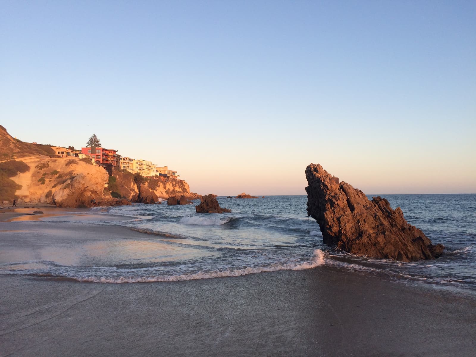
Corona del Mar is the beach village on the bluffs east of the Newport Harbor entrance, part of Newport Beach since 1923. George E. Hart founded it on 700 acres in 1904, and its Flower Streets, Acacia through Poppy, first appeared on a 1922 map. The 2020 census counted 12,017 people in its ZIP code, 92625. Coast Highway splits the village: south of it the Flower Streets drop to Ocean Boulevard, Corona del Mar State Beach, and the Little Corona tide pools. Much of the old grid allows two units per lot. As of September 2026, single-family homes for sale asked about $3.7 million to $40 million, and duplexes about $4.5 million to $6.2 million.
Corona del Mar by the numbers.
- 9,804Population
- 63%Homeowner-occupiedoccupied homes
- 75%Bachelor's degree or higherage 25+
- $12,950/moMedian asking rentCurrent MLS listings
- $211,783Median household income
- 50.4Median age
Sources: U.S. Census Bureau, ACS 5-year 2019–2023; neighborhood facts compiled by The Slava House.
A bluff-top village at the mouth of the harbor
A 1920s grid on the bluff, with the state highway as its main street.
Corona del Mar sits on the bluffs at the east side of the Newport Harbor entrance, where the jetty meets the open coast. The village is a tight grid of streets named for flowers, Acacia through Poppy, drawn on a 1922 re-subdivision of George Hart's 1904 town. Coast Highway runs through the middle, and the shops and restaurants along it are the village's center.
South of the highway the Flower Streets run downhill to Ocean Boulevard and the edge of the bluff. Below are Corona del Mar State Beach, known locally as Big Corona, and the tide-pool cove of Little Corona. North of the highway the same grid climbs to Fifth Avenue, Harbor View Elementary, and the canyon of Buck Gully.
People here walk to the beach and the bakery, and each December the Christmas Walk fills the Coast Highway sidewalks. You pay for that in traffic, tight parking and coastal rules on the bluff. The 2020 census counted 12,017 people in the 92625 ZIP code, which reaches well beyond the village itself.
Live from the MLS
Corona del Mar compared with all of Newport Beach.
A square foot in Corona del Mar costs 71% more than across Newport Beach.
Corona del Mar$2,558
All of Newport Beach$1,500
Listings in Corona del Mar have been on the market 9 days longer than across Newport Beach.
What’s for sale
43% of the homes for sale in Corona del Mar are single-family houses.
- Single-family43%21 homes
- Condo33%16 homes
- Multi-unit22%11 homes
- Other2%1 home
Homes for sale in Corona del Mar are 8% bigger than across Newport Beach.
Corona del Mar2,723 sq ft
All of Newport Beach2,511 sq ft
Each card sets the median in Corona del Mar against all of Newport Beach. The arrow on a card lists every Newport Beach neighborhood we cover. Asking prices for homes on the market right now inside each mapped area, not sale prices. Updated October 3, 2026, 11:00 PM PT
Homes for sale in Corona del Mar
49 active listings in the mapped area
$9,700,000
Condo3 bd4 ba2,663 sqft
221 Carnation Avenue
$7,595,000
Condo3 bd4 ba2,741 sqft
407 Heliotrope Avenue A
$2,798,000
Condo2 bd3 ba1,397 sqft
418 1/2 Larkspur
$5,250,000
Duplex5 bd6 ba3,108 sqft
707 Larkspur Avenue
$6,495,000
Condo4 bd5 ba2,471 sqft
2501 Seaview Avenue
$13,995,000
Single-Family5 bd7 ba4,649 sqft
224 Iris Avenue
$4,295,000
Single-Family4 bd5 ba3,179 sqft
2541 Point Del Mar
$4,500,000
Duplex
310 Fernleaf
$4,500,000
Duplex5 bd3 ba2,500 sqft
310 Fernleaf
$4,295,000
Single-Family2 bd1 ba804 sqft
508 Orchid
$5,995,000
Single-Family4 bd2 ba1,556 sqft
300 Narcissus
$6,248,000
Duplex4 bd4 ba1,647 sqft
2715 Cove
$6,248,000
Duplex
2715 Cove
$4,495,000
Condo4 bd4 ba1,763 sqft
716 Orchid Avenue
$11,500,000
Single-Family3 bd4 ba3,250 sqft
232 Hazel
$4,850,000
Duplex6 bd6 ba3,032 sqft
602 602.5 Marguerite 2

Still deciding? Ask me.
I’m a Realtor based in Long Beach, and Newport Beach is one of the cities I work most. Tell me what you’re after in Corona del Mar and I’ll help you get there.
Slava Ploshkin · DRE #02323623English and Russian · How I work in Newport Beach
Where to eat, shop, and explore in Corona del Mar
The restaurants, cafes, shops, parks, and landmarks that give Corona del Mar its everyday character, most within a short walk.
11 places
Pick one and I’ll show you where it is.
Beach5 min walk
Big Corona: a half-mile of sand framed by cliffs and the rock jetty that forms the east entrance to Newport Harbor, run by the city as a state park unit.
Open 6 a.m. to 10 p.m.; dogs only before 10 a.m. and after 4:30 p.m. The lot does not take the state annual pass.
Beach15 min walk
A small sandy cove of tide pools and reefs below Poppy Avenue, signed as the Robert E. Badham Marine Life Refuge; look, but take nothing.
Access is a ramp from Ocean Boulevard at Poppy; bluff-top street parking is limited.
Park10 min walk
The bluff-top overlook at 3001 Ocean Boulevard above Big Corona, the village's sunset bench with the harbor entrance in front of it.
Landmark10 min walk
A botanical garden and history library on a block of Coast Highway, first opened in 1966 by Arnold Haskell; gardens open daily 10:30 a.m. to 4 p.m. for a fee.
Restaurant10 min walk
The Lawry's prime-rib house at 3801 East Coast Highway, styled as a replica of one of England's oldest country inns and open since 1965.
Coffee10 min walk
The bakery-cafe at 3536 East Coast Highway, open from 5 a.m., the morning coffee and pastry stop for the Flower Streets.
Restaurant5 min walk
The wood-fired American grill at 3201 East Coast Highway, one of the village's busiest dinner rooms.
Restaurant5 min walk
A counter-service cafe and market with a patio at 3222 East Coast Highway, open 7 a.m. to 4 p.m., the village's daytime lunch habit.
Recreation15 min walk
The three-mile canyon at the village's eastern edge: the 2.55-mile Buck Gully Trail and the 0.68-mile Bobcat Trail, open dawn to dusk, no dogs.
The lower trailhead is at the top of Poppy Avenue; the upper one is on San Joaquin Hills Road in Newport Coast.
Shopping · Nearby30 min walk
The destination nursery and home store at 2301 San Joaquin Hills Road, in business for more than 50 years and open daily.
Shopping · Nearby15 min walk
The open-air center across the highway at Avocado Avenue, with a Bristol Farms grocery and restaurants at the village's doorstep.
What it's like to live near Coast Highway
The state highway is the village's shopping street, for better and worse.
East Coast Highway is Corona del Mar's main street, a strip of cafes, boutiques, salons, and restaurants between Avocado Avenue and Poppy Avenue. Five Crowns, the Lawry's prime-rib house at 3801 East Coast Highway styled after an old English country inn, has served the village since 1965. Sherman Library and Gardens fills a block at 2647 East Coast Highway with gardens and a history library. The Corona del Mar Chamber of Commerce has run the Christmas Walk along the highway sidewalks for more than 46 years; the 2026 edition is the 47th.
The downside of the highway is the traffic. This is State Route 1, the coast road between Newport Beach and Laguna Beach, so through traffic never stops. Homes on the first blocks off the highway hear it. Homes further down toward Ocean Boulevard or up toward Fifth Avenue mostly don't. The city's parking page lists 6 a.m. to 10 p.m. daily for Corona del Mar, longer than the 8 a.m. to 6 p.m. it lists for most of the city, and beach days fill the side streets. The city plans to add a summer trolley along the Corona del Mar corridor starting in 2027.
Corona del Mar Plaza sits across the highway at Avocado Avenue with a Bristol Farms grocery and restaurants, and Fashion Island is a few minutes further up. Roger's Gardens, the destination nursery on San Joaquin Hills Road, has been in business for more than 50 years. Most daily errands happen without leaving the village.
- Cafes, restaurants, Five Crowns, and Sherman Gardens on the highway strip
- State Route 1 traffic is constant; buy a few blocks off it for quiet
- Bristol Farms at Corona del Mar Plaza; Fashion Island minutes away
How the village got its Flower Streets
George Hart's 1904 subdivision stalled for a decade, then found its shape when the highway came through.
James Irvine bought the land that became Corona del Mar in 1875 for $150,000. In 1904 George E. Hart bought 700 acres of it and founded the town, numbering the north-south streets from 29th to 45th as if the grid would one day run all the way to the harbor bridge. Hart promoted Corona del Mar for more than a decade with little success. In 1915 he gave up and sold to the F. D. Cornell Company, and unsold land was marketed as Balboa Palisades that year.
The village people know today took shape in the 1920s. The flower street names first appear on a 1922 re-subdivision map that created lots fronting the newly announced Coast Highway, with the streets running from Acacia to Poppy. That same year the Sims-Guedel Company bought tracts at the west and east ends and named Avocado and Hazel; Sherman Library's historians suspect Hazel honors two of the company's owners, Hazel Sims and Hazel Guedel. Newport Beach annexed Corona del Mar in 1923, and a post office opened on July 16, 1926.
One street changed its name. What is now Poinsettia was Pansy Street until 1940, when the city renamed it. The beach below the bluffs was a surfing spot into the 1930s, and Duke Kahanamoku is credited with the first surfboard rescue there in 1925, paddling people to shore after a chartered fishing boat capsized in heavy surf. The late-1930s extension of the harbor jetty changed the waves, creating the Wedge on the far side and shielding Corona del Mar from all but the most southerly swells.

- Irvine bought the land in 1875; Hart founded the town on 700 acres in 1904
- Flower Streets first mapped in 1922; annexed by Newport Beach in 1923
- The jetty extension of the late 1930s calmed the surf at Big Corona
The two beaches below the bluff
Big Corona's sand and Little Corona's tide pools, both in a marine protected area.
Corona del Mar State Beach, Big Corona, is a half-mile of sand framed by cliffs and the rock jetty at the harbor entrance. The state park is operated by the City of Newport Beach and is open 6 a.m. to 10 p.m. Dogs are allowed before 10 a.m. and after 4:30 p.m. The 30-acre park was established in 1947, and its lot is one of the few state park units that doesn't accept the annual day-use pass.
Little Corona, south of the main beach below Poppy Avenue, is a small cove of rocky tide pools and reefs. It is signed as the Robert E. Badham Marine Life Refuge, and the city treats every beach from Big Corona south as a marine protected area: no collecting, even temporarily. Access is a path from Ocean Boulevard at Poppy, with limited street parking on the bluff.
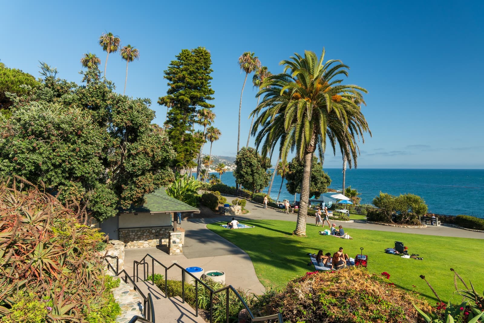
Between them, Ocean Boulevard runs along the bluff top with Inspiration Point at 3001 Ocean Boulevard and Lookout Point above the harbor entrance. Neighbors walk these overlooks at sunset and watch boats run the harbor channel. The houses facing them carry the village's top prices: in September 2026, most of the highest asking prices in Corona del Mar were on Ocean Boulevard.

- Big Corona: half-mile beach, city-run state park, open 6 a.m. to 10 p.m.
- Little Corona: tide pools in a marine life refuge; take nothing
- Inspiration Point and Lookout Point sit on the bluff along Ocean Boulevard
How zoning shapes the village's houses
Much of the 1920s grid is zoned for two units per lot, and that explains most of what you see.
The village's housing follows its zoning. Large parts of the old grid carry the city's R-2 designation, the two-unit residential district, which allows two dwellings on one lot. That's why so many Flower Street lots hold a front house and a rear unit over the garage, and why the city's zoning records show single-family homes being replaced by new duplexes in the Corona del Mar tract. Many of those pairs now sell as separate condominiums, which is why so many village listings carry a "1/2" address.
The rest of the stock runs from original 1920s to 1950s cottages to full custom rebuilds. On the ocean side of the highway, Ocean Boulevard and the bluff-edge streets carry the views and the top prices. The blocks between the highway and Ocean Boulevard are the village's core. North of the highway, the numbered avenues up to Fifth are quieter, and lots along Buck Gully back onto the canyon.
Read the parcel before the house. A cottage on a rebuildable R-2 lot is priced on the lot, and a new build next door is priced on the finishes and the view. Houses and duplexes on lots that don't front the beach, harbor, or a coastal bluff are generally excluded from coastal development permits; bluff and beachfront lots are not. I check the zoning, the alley parking and the coastal status before I compare prices.

- R-2 two-unit zoning across much of the village drives the duplex pattern
- Front and rear units often sell separately as "1/2" condo addresses
- Price the lot and its zoning first, then the house
Why Corona del Mar costs what it does
Cottage or custom rebuild, the lot sets the floor price.
You pay for the bluff, the views and the walk to two beaches. The grid was fully platted a century ago, so nothing new gets built except by replacing what stands. As of September 2026, about 45 homes were for sale in the village. Single-family homes asked about $3.7 million to $40 million, duplexes about $4.5 million to $6.2 million, and condo units, often one half of a two-unit lot, started around $1.6 million.
The zoning shapes the buyer pool. Because R-2 allows two units, many buyers underwrite a rental unit into the purchase, and investors compete with families for the same lots. Short-term rentals need one of the city's capped permits, and the city isn't issuing new ones while it's at the cap, so verify a property's permit status before counting on that income.
Before I price anything here I pull comparable sales for that street. Then come the costs of the location: coastal-permit timelines on bluff lots, insurance, and the parking or remodel work a 1920s lot usually needs.

- Single-family about $3.7 million to $40 million asking, September 2026
- R-2 lots draw investors and families alike; verify short-term-rental status
- Comparable sales per street; budget coastal permits and old-lot work
What to check before you buy in Corona del Mar
Living on a coastal bluff comes with paperwork.
The whole village lies inside the coastal zone. The California Coastal Commission certified Newport Beach's Local Coastal Program on January 13, 2017, effective January 30, so the city now issues most coastal development permits. The Commission keeps appeal jurisdiction over land between the sea and the first public road. It also keeps it within 300 feet of a beach or the mean high tide line, and within 300 feet of the top of a coastal bluff. Ocean Boulevard and the bluff-edge lots fall in that band, and a remodel there takes longer.
Short-term lodging means a rental of 30 days or less. It requires a city permit and business license, a 10 percent transient occupancy tax, a two-night minimum stay, and renters 25 or older, and it has been prohibited in single-family R-1 districts since 1992. The city caps permits at 1,550 citywide, 1,475 of them in residential districts since a May 2025 Coastal Commission approval, and new owners join a wait list. An R-2 duplex may be eligible; a specific address must be checked with the city.
Then parking and fire. Beach traffic fills the Flower Streets in summer, and many older lots have only alley access, so confirm what parking conveys. On fire, in July 2025 the City Council adopted the state's updated fire hazard severity zone maps, which raised the count of very-high-hazard parcels in Newport Beach from 2,825 to 4,247. By my read of the state's 2025 map, the village grid sits mostly outside the zones, but lots along the Buck Gully rim fall in moderate and high zones and the canyon itself is very high. Check the parcel, because a zone brings defensible-space and disclosure duties.

- Bluff-edge and beachfront lots stay in Coastal Commission appeal jurisdiction
- Short-term rentals: permit, two-night minimum, cap, wait list, none in R-1
- Confirm alley parking on older lots before you compare prices
- Check Buck Gully rim lots against the 2025 fire hazard severity maps
Getting around from the village
The beach is a walk. The 405 is up MacArthur.
Inside the village, everything is walkable: the beach stairs, the overlooks on Ocean Boulevard, the highway cafes, and Harbor View Elementary at the top of Goldenrod Avenue. The grid is flat above the bluff and short from end to end, so bikes and strollers do most of the daily work.
For the region, Coast Highway runs west to the Balboa Peninsula and Mariners Mile and east to Crystal Cove and Laguna Beach. MacArthur Boulevard and Jamboree Road climb from the village past Fashion Island to the 73 toll road, the 405, and John Wayne Airport. Buck Gully's trail links the village to Newport Coast on foot, with the lower trailhead at the top of Poppy Avenue.

- Beaches, overlooks, cafes, and the elementary school on foot
- Coast Highway for the coast; MacArthur and Jamboree for the freeways and airport
- Buck Gully trail connects the village to Newport Coast
More Corona del Mar facts
- 1904FoundedGeorge E. Hart's 700-acre purchase
- 1923Joined the cityAnnexed by Newport Beach
- 1922Flower StreetsFirst mapped, Acacia to Poppy
- ½ mileBig CoronaSand inside the harbor jetty
- 12,017PopulationZIP 92625, 2020 census




Rentals in Corona del Mar
53 active rentals in the mapped area
$6,500/mo
Single-Family2 bd2 ba989 sqft
317 Iris Avenue
$15,500/mo
Condo3 bd3 ba1,993 sqft
708 Heliotrope Avenue
$7,850/mo
Condo2 bd2 ba1,368 sqft
3440 4th Avenue
$13,500/mo
Condo3 bd3 ba1,600 sqft
3731 4th Avenue
$22,999/mo
Townhouse4 bd5 ba2,801 sqft
2801 Bayside Drive
$8,000/mo
Townhouse2 bd3 ba1,292 sqft
3310 3rd Avenue
$16,500/mo
Condo3 bd4 ba2,044 sqft
428 Fernleaf Avenue
$8,600/mo
Condo3 bd3 ba1,454 sqft
438.5 Dahlia
$4,700/mo
Condo2 bd1 ba1,000 sqft
412 1/2 Dahlia Avenue
$34,000/mo
Single-Family5 bd7 ba4,322 sqft
225 Jasmine
$5,000/mo
Townhouse3 bd2 ba1,300 sqft
406 Jasmine 1/2
$7,000/mo
Single-Family2 bd2 ba1,282 sqft
619 Narcissus
$6,500/mo
Condo2 bd1 ba812 sqft
329 Marguerite Avenue 3
$15,000/mo
Condo3 bd3 ba1,693 sqft
423 Poppy
$12,950/mo
Single-Family3 bd4 ba2,000 sqft
613 Poppy Avenue
$9,250/mo
Condo3 bd3 ba1,964 sqft
417 1/2 Orchid Avenue 2
Compare Corona del Mar
Compare Corona del Mar with another neighborhood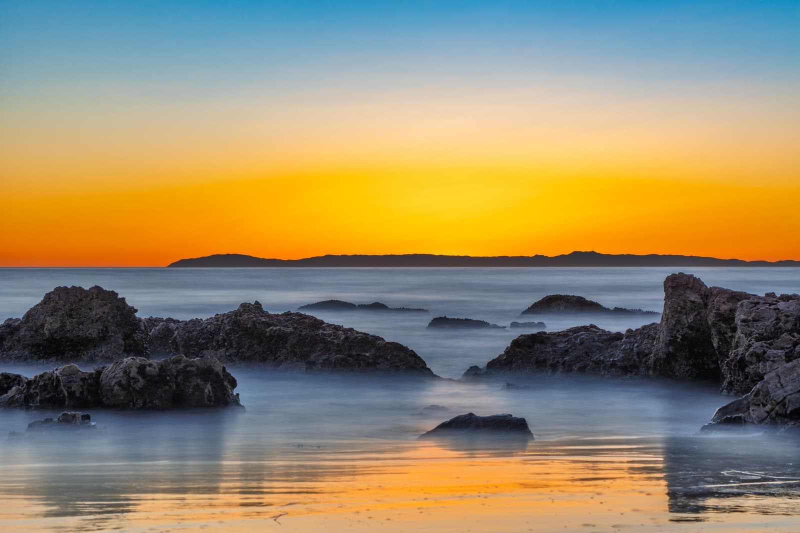


Questions & answers
Yes, if you want to walk to the beach and can live with Coast Highway traffic and tight parking. Two beaches, bluff-top overlooks, a highway strip of cafes and restaurants, and Harbor View Elementary are all on foot. The costs are State Route 1 traffic through the middle of the village, full side streets on beach days, and coastal rules on the bluff lots. The housing stock is uneven too: a 1920s cottage and a new custom home can sit side by side at very different prices.
Explore near Corona del Mar
1.4 mi awayBalboa IslandA dredged-up island in Newport Harbor, with cottages on 30-foot lots and a car ferry that's run since 1919Read the guide ›2.1 mi awayBalboa PeninsulaBeach cottages and bay-front houses on a sandspit between the Pacific and Newport Harbor, from Cannery Village to the WedgeRead the guide ›2.3 mi awayNewport CoastThe Irvine Company's gated hillside villages, built in the 1990s and 2000s above Crystal Cove State ParkRead the guide ›4.8 mi away · IrvineTurtle RockIrvine's first hillside village, started in 1967, with two elementary schools inside and Bommer Canyon out the backRead the guide ›5.8 mi away · IrvineUniversity ParkIrvine's first village, from the mid-1960s, where the houses face shared parks instead of the streetRead the guide ›6.3 mi away · Laguna BeachLaguna Beach VillageDowntown Laguna and the cottage blocks around it, where the art colony startedRead the guide ›
Where we check the facts
The facts in this guide (districts, zones, rules) come from the official records below. We re-check them before property tours.
- City of Newport Beachnewportbeachca.govparking, zoning, Buck Gully, tide-pool rules
- Newport Beach Local Coastal Program FAQnewportbeachca.govcoastal development permits, exclusions and bluff appeal areas
- Newport Beach Short Term Lodging FAQnewportbeachca.gov30-day definition, eligible zones, 1,550 cap, TOT
- California Coastal Commission: Newport Beach STR amendment (May 2025)documents.coastal.ca.gov1,475 residential permits, two-night minimum
- California State Parks: Corona del Mar State Beachparks.ca.govbeach hours, dog rules, operator
- Newport-Mesa Unified School District: school locatorweb.nmusd.usassigned schools by address
Show all 17 sourcesShow fewer
- Sherman Library & Gardensthesherman.orgFlower Streets history
- CAL FIRE / OSFM Fire Hazard Severity Zonesosfm.fire.ca.gov2025 local responsibility area maps
- CAL FIRE / OSFM: 2025 LRA Fire Hazard Severity Zones map service (map dated March 24, 2025)utility.arcgis.comzone levels checked by grid and street, September 2026
- Stu News Newport: Council adopts updated CAL FIRE 2025 maps (July 11, 2025)stunewsnewport.comJuly 8, 2025 adoption and parcel counts
- FEMA Flood Map Service Centermsc.fema.govflood zones by address
- CRMLSgo.crmls.orglisting and market data
- Newport Beach Municipal Code Chapter 20.18 (residential zoning districts)newportbeachca.govR-1 single-unit and R-2 two-unit districts
- Newport Beach Municipal Code Chapter 5.95 (short term lodging permits)codepublishing.compermit transfer to a buyer within 60 days of title transfer
- National Flood Hazard Layer (FEMA)fema.govflood zones checked against mapped village buildings, September 2026
- Corona del Mar Chamber of Commerce: 47th Annual Christmas Walkcdmchamber.comDecember 6, 2026, 11 a.m. to 5 p.m.
- Christmas Boat Paradechristmasboatparade.com2026 parade dates
Photo credits (9)
- Evening light on the rocks and bluff homes at Big Corona beachSergei Gussev, CC BY 2.0
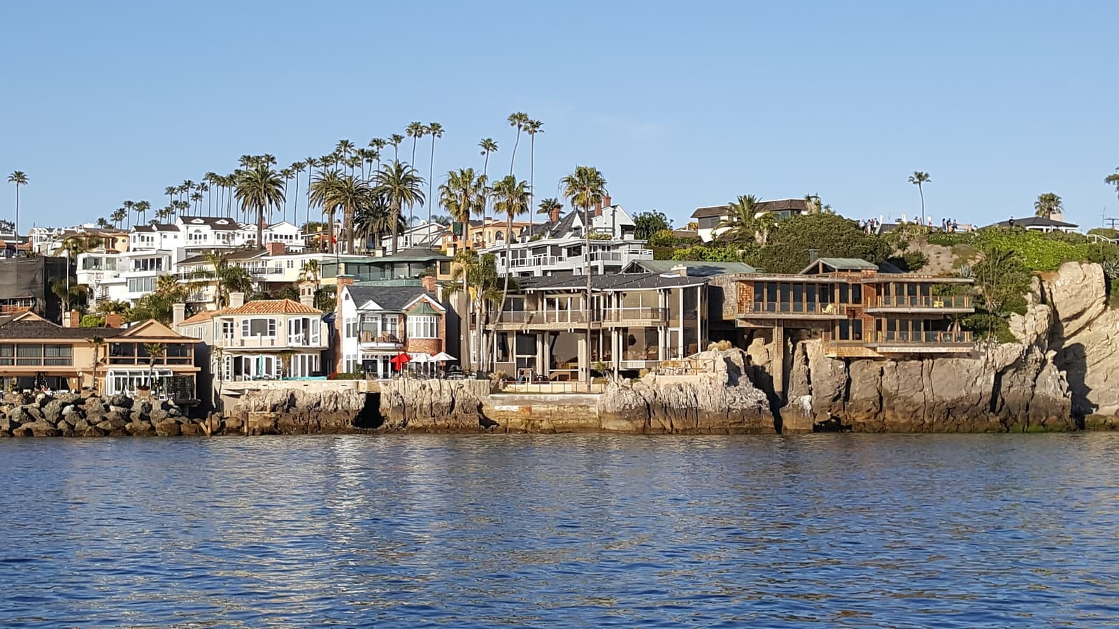
- Homes on the rocks at China Cove by the Newport Harbor entranceDon Ramey Logan, CC BY-SA 4.0
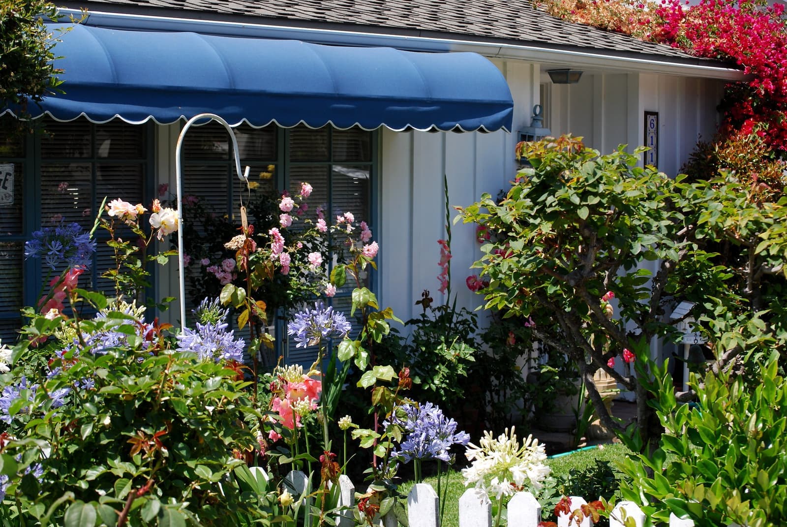
- A cottage garden on Acacia Avenue in the Flower StreetsTracie Hall, CC BY-SA 2.0
- Big Corona beach and the harbor jetty from Inspiration PointTracie Hall, CC BY-SA 2.0
- Sherman Library and Gardens on Coast HighwayLane 4 Imaging, CC BY 2.0
- A summer afternoon at the cove by the Newport Harbor entranceDaniel Sinoca, Unsplash License
- Little Corona, the tide-pool cove below Poppy AvenueAustin Neill, CC0
- Sunset behind the palms at Big Corona beachSergei Gussev, CC BY 2.0
- The planted sidewalk along Coast Highway outside Sherman Library & Gardenscultivar413, CC BY 2.0