





Downtown asks 54% more than Huntington Beach as a whole.
Huntington Beach, California · Neighborhood guide
Downtown Huntington Beach
The numbered streets around Main and the pier, the part of Surf City USA you can walk
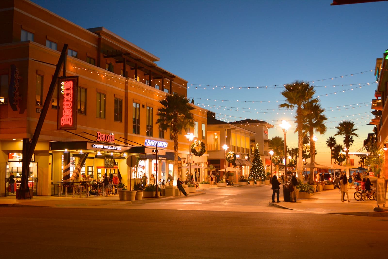
Median askingDowntown$2M37 for sale
See homesDowntown Huntington Beach, in short.
Downtown Huntington Beach is the old beach town around Main Street and the pier, with the numbered streets running inland from Pacific Coast Highway to Palm Avenue. It started as Pacific City in 1901, and the city's Downtown Specific Plan now covers 336 acres from Goldenwest Street to Beach Boulevard. Houses sit on narrow lots of about 2,900 square feet: old cottages, and a lot of new three-story builds with roof decks. Condos line PCH. As of September 2026, condos were listed from about $750,000 to $2 million and most houses from about $2.2 million to $3.9 million. Expect summer crowds, tight parking, methane rules on old oil lots, and no whole-house vacation rentals.
Downtown Huntington Beach by the numbers.
- 10,141Population
- 59%Bachelor's degree or higherage 25+
- $128,523Median household income
- 46.4Median age
- 1909IncorporatedFounded as Pacific City in 1901
- 1,850 ftPier lengthRebuilt 1992; on the National Register
Sources: U.S. Census Bureau, ACS 5-year 2019–2023; neighborhood facts compiled by The Slava House.
The core of Surf City USA
The beach blocks from Goldenwest Street to Beach Boulevard, with Main Street and the pier in the middle.
Downtown Huntington Beach is the small grid of streets that runs inland from the pier along Main Street. The city's Downtown Specific Plan draws the official outline. It covers 336 acres from Goldenwest Street along the coast to Beach Boulevard. Inland, it bends around the old town center to Palm Avenue. Inside that line you get the Main Street bars and surf shops, the pier, the beach lots, and Pacific City, which opened in 2015.
The residential part is the numbered streets. They run from 1st Street to 22nd Street between Pacific Coast Highway and Palm Avenue. The blocks hold original beach cottages, duplexes, and newer multi-level homes built out to the lot line. From any of them the sand is a few minutes away. The ocean-side blocks near Walnut Avenue cost more for being closer.
This is the most visited corner of a city that counted 198,711 people in the 2020 census, and you feel it from June on. The U.S. Open of Surfing fills the sand south of the pier for nine days in late July, the Fourth of July parade has run through town since 1904, and the Pacific Airshow flies over the beach in early October. If you want a quiet cul-de-sac, look at Seacliff or the tracts inland. People buy here for the walk to the water and accept the noise.

Live from the MLS
Downtown Huntington Beach compared with all of Huntington Beach.
A square foot in Downtown costs 47% more than across Huntington Beach.
Downtown$1,105
All of Huntington Beach$752
Listings in Downtown have been on the market 12 days longer than across Huntington Beach.
What’s for sale
46% of the homes for sale in Downtown are single-family houses.
- Single-family46%17 homes
- Condo46%17 homes
- Other5%2 homes
- Multi-unit3%1 home
Homes for sale in Downtown are about the size of those across Huntington Beach.
Downtown1,639 sq ft
All of Huntington Beach1,629 sq ft
Each card sets the median in Downtown against all of Huntington Beach. The arrow on a card lists every Huntington Beach neighborhood we cover. Asking prices for homes on the market right now inside each mapped area, not sale prices. Updated October 3, 2026, 7:00 PM PT
Homes for sale in Downtown Huntington Beach
37 active listings in the mapped area
$975,000
Condo2 bd2 ba1,046 sqft
1200 Pacific Coast 106
$2,500,000
Single-Family3 bd4 ba3,071 sqft
606 Goldenwest Street
$2,995,000
Single-Family3 bd3 ba2,575 sqft
207 21st
$1,995,000
Condo3 bd2 ba1,445 sqft
900 Pacific Coast
$2,000,000
Manufactured
316 2nd
$950,000
Condo1 bd2 ba884 sqft
200 Pacific Coast Highway 149
$2,995,000
Triplex
522 17th
$1,398,800
Condo3 bd3 ba1,600 sqft
218 16th A
$799,900
Condo1 bd1 ba693 sqft
2000 Pacific Coast HWY APT 308
$9,995,000
Single-Family4 bd5 ba3,935 sqft
816 Pacific Coast Highway
$3,299,000
Single-Family3 bd5 ba2,900 sqft
424 20th
$2,950,000
Single-Family3 bd5 ba3,010 sqft
206 2Nd
$1,274,900
Condo2 bd2 ba1,158 sqft
200 Pacific Coast Highway 329
$2,550,000
Single-Family3 bd3 ba2,298 sqft
427 21st Street
$850,000
Condo2 bd2 ba1,046 sqft
1200 Pacific Coast
$2,995,000
Single-Family4 bd4 ba3,502 sqft
227 18th Street

Still deciding? Ask me.
I’m a Realtor based in Long Beach, and Huntington Beach is one of the cities I work most. Tell me what you’re after in Downtown Huntington Beach and I’ll help you get there.
Slava Ploshkin · DRE #02323623English and Russian · How I work in Huntington Beach
Where to eat, shop, and explore in Downtown Huntington Beach
The restaurants, cafes, shops, parks, and landmarks that give Downtown Huntington Beach its everyday character, most within a short walk.
9 places
Pick one and I’ll show you where it is.
Shopping5 min walk
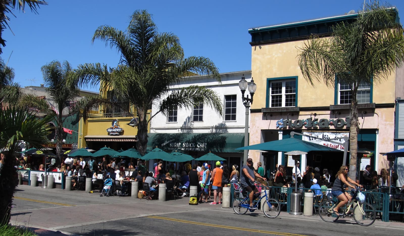
Downtown's main drag. Surf shops, bars, taco counters and breakfast spots run a few blocks inland from the pier.
The Main Promenade structure at 200 Main has 830 spaces and the first 90 minutes are free.
Beach5 min walk
A 1,850-foot concrete pier at the foot of Main Street, rebuilt in 1992 and listed on the National Register of Historic Places since 1989. Broad Street Oyster Company has had the restaurant at the end since 2023.
The U.S. Open of Surfing runs on the south side of the pier for nine days in late July.
Shopping10 min walk
The open-air shopping and dining center on the ocean side of PCH that opened in 2015, with a hotel and apartments around it.
Restaurant10 min walk
The food hall inside Pacific City, a row of counters and a shared patio that faces the water.
Coffee5 min walk
The Main Street breakfast counter where surfers eat after the dawn session; expect a line on weekends.
Restaurant5 min walk
The Hawaiian-style restaurant on the sand at the base of the pier, named for Duke Kahanamoku, who started surfing here in 1925.
Landmark5 min walk
The surf-history museum founded in 1987. In March 2026 the council voted to move it from Olive Avenue, its home since 1990, into the Main Street Library at 525 Main, where its new exhibit space opened in July 2026.
Landmark5 min walk
Sidewalk stones at PCH and Main honoring surf pioneers, champions, and local heroes, with inductees added since 1994.
Park · Nearby25 min walk
The grass strip above the sand past Goldenwest Street, where the beach trail climbs the bluff toward Dog Beach.
What it's like to live near Main Street
A few blocks from the pier to the library, and the parking that makes it work.
Main Street starts at the foot of the pier and runs inland through surf shops, bars, taco counters, and breakfast cafes. The Surfing Walk of Fame is set into the sidewalks at Pacific Coast Highway and Main, with inductees added since 1994. The Main Promenade parking structure at 200 Main Street holds 830 spaces, and the first 90 minutes are free.
The blocks change fast as you move inland. The first two blocks are the nightlife, loud on weekend evenings and busy every summer afternoon. By Orange Avenue the street turns civic. The Main Street Library at 525 Main took in the International Surfing Museum's new exhibit space in July 2026, and the Huntington Beach Art Center sits across from it at 538 Main. One block off Main in either direction, the numbered streets are residential and much quieter.
Where a home sits relative to Main Street matters more than almost anything else downtown. Ocean-side blocks between Pacific Coast Highway and Olive Avenue get the pier and the noise. Blocks between Orange and Palm avenues get the walk without the late-night traffic. The streets past 9th give up a few minutes of walking for easier parking and fewer people.

- Bars and surf shops on the first two blocks; the library and quiet by Orange Avenue
- 830-space parking structure at 200 Main Street; first 90 minutes free
- One block off Main is residential; two blocks off is quiet
How Huntington Beach became Surf City
A resort town that struck oil, with a pier it keeps rebuilding.
The town began in 1901 as Pacific City, a resort promoted by Philip Stanton and the West Coast Water and Land Company. Henry Huntington bought into the company a year later, and the town took his name in 1903. In 1904 his Pacific Electric Red Cars arrived and the first pier opened, a 1,000-foot timber structure at the end of Main Street. The city incorporated on February 17, 1909. A concrete pier replaced the wooden one in 1914 and was the longest and highest concrete pleasure pier in the country at the time.
Then came oil. The first well, Huntington A-1, came in on May 24, 1920, and by October 1921 the field had 59 producing wells. Derricks covered the downtown blocks and the beach, and the 1933 Long Beach earthquake toppled some of them. The wells left the ocean side of Pacific Coast Highway slowly. A 1990 agreement with Chevron capped 25 wells north of the pier and removed the derricks. About 1,600 wells still existed inside the city that year.
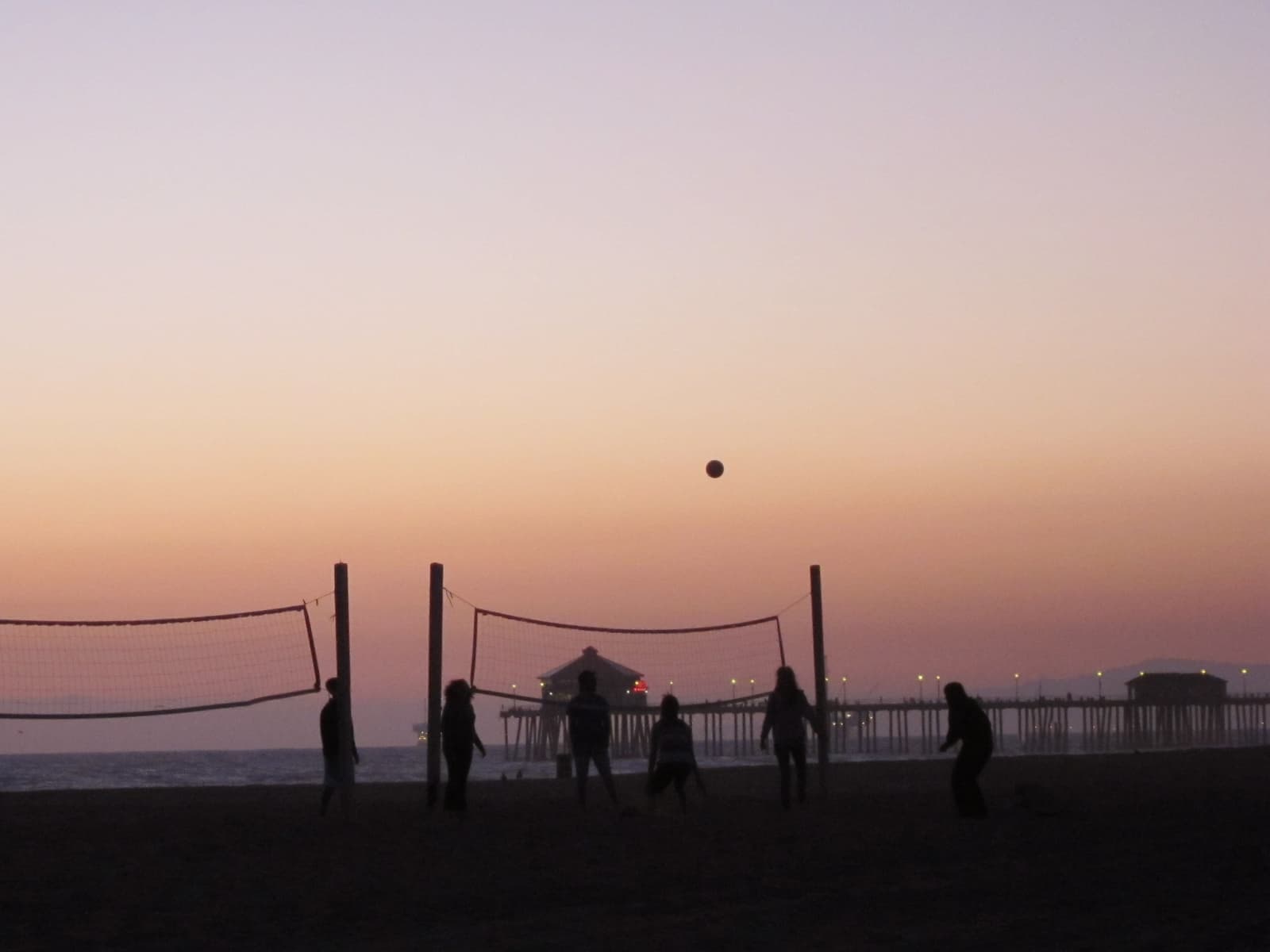
Surfing arrived with George Freeth in 1914 and Duke Kahanamoku in 1925, and the first surfboard shop opened under the pier in 1956. The West Coast Surfing Championship began beside the pier in 1959, became the OP Pro in 1982, and has been the U.S. Open of Surfing since 1994. The city adopted the Surf City nickname in 1991 and filed for the Surf City USA trademark in 2004. A dispute with Santa Cruz interests was settled in January 2008. Storms closed the pier in 1988, the old structure was listed on the National Register in 1989, and the rebuilt concrete pier was re-dedicated on July 18, 1992.
- Pacific City in 1901, renamed for Henry Huntington in 1903, incorporated in 1909
- Oil discovered in May 1920; derricks filled downtown and the beach for decades
- Pier rebuilt in 1914 and 1992; the U.S. Open of Surfing beside it since 1994
The pier and the beach on either side of it
Nine and a half miles of beach, and the busiest stretch of it is downtown.
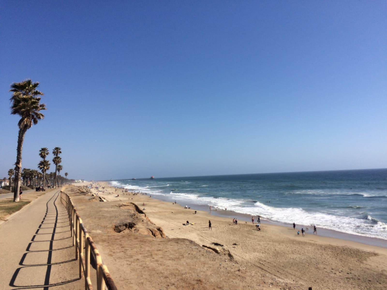
Huntington Beach has 9.5 miles of sand, and downtown owns the center of it. Huntington City Beach runs on both sides of the pier, with fire rings, volleyball courts, and the surf-contest area on the pier's south side. The pier itself is 1,850 feet long, one of the longest public piers on the West Coast. Walking out to the end is what people here do after dinner.
Head northwest along Pacific Coast Highway and the sand gets quieter. Bluff Top Park sits above the beach past Goldenwest Street, and Huntington Dog Beach, the city's off-leash beach, runs from Goldenwest and 21st Street to Seapoint Street. Beyond it are Bolsa Chica State Beach and the Bolsa Chica Ecological Reserve, where a $110 million wetland restoration finished in 2006, both a short bike ride away.
Head southeast past Beach Boulevard and Huntington State Beach takes over. It runs two miles to the Santa Ana River, has been a state beach since 1963, and keeps a snowy plover reserve at its far end. A paved beach trail links Bolsa Chica to Huntington State Beach over 8.5 miles, so a bike covers the whole shoreline without touching Pacific Coast Highway.
Offshore oil is still part of the picture. On October 1, 2021, an Amplify Energy pipeline running to Platform Elly, partly torn by a ship's anchor, leaked about 25,000 gallons of crude 4.5 miles offshore. The city and state beaches closed from October 2 until October 11, and the last day of that year's Pacific Airshow was canceled. The pipeline went back into service in April 2023, and as of 2026 the federal and state damage assessment was still open.
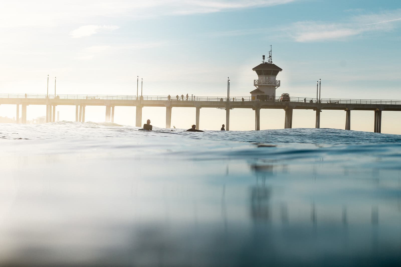
- City beach and the pier downtown; Dog Beach and Bolsa Chica to the northwest
- Huntington State Beach runs two miles southeast from Beach Boulevard
- An 8.5-mile paved beach trail connects the whole shoreline
Old cottages and new builds on narrow town lots
What the numbered streets actually hold, and the two rules that come with the ground.
The numbered streets were laid out as a resort townsite, so the lots are narrow and the houses sit close together. Most of the houses listed in September 2026 sat on lots of about 2,900 square feet, and seven of the 19 were built in 2026. Some original beach cottages survive, usually updated inside. The rebuilds use the full width of the lot and put the living room and a roof deck up top, where the ocean view is. Duplexes and small rental buildings are scattered through the same blocks.
Along Pacific Coast Highway and around Pacific City the product changes to condos, townhomes, and apartments. The Downtown Specific Plan designates high-density residential and mixed-use districts here, which is why the newer buildings are taller and denser than the cottage blocks behind them. If you want a lock-and-leave place near the sand, look here, and put HOA dues and coastal insurance in the math.
Two things set downtown apart from other beach neighborhoods. First, this was an oil field. The Fire Department's City Specification 429 requires methane mitigation for any building within 100 feet of an active or abandoned oil or gas well. The same applies within 300 feet of a gas seepage zone, and testing can be required at other distances. New construction and major remodels here carry that extra layer of review. Second, the whole area sits in the Coastal Zone, so a remodel that changes the building may need a coastal development permit alongside the building permit.
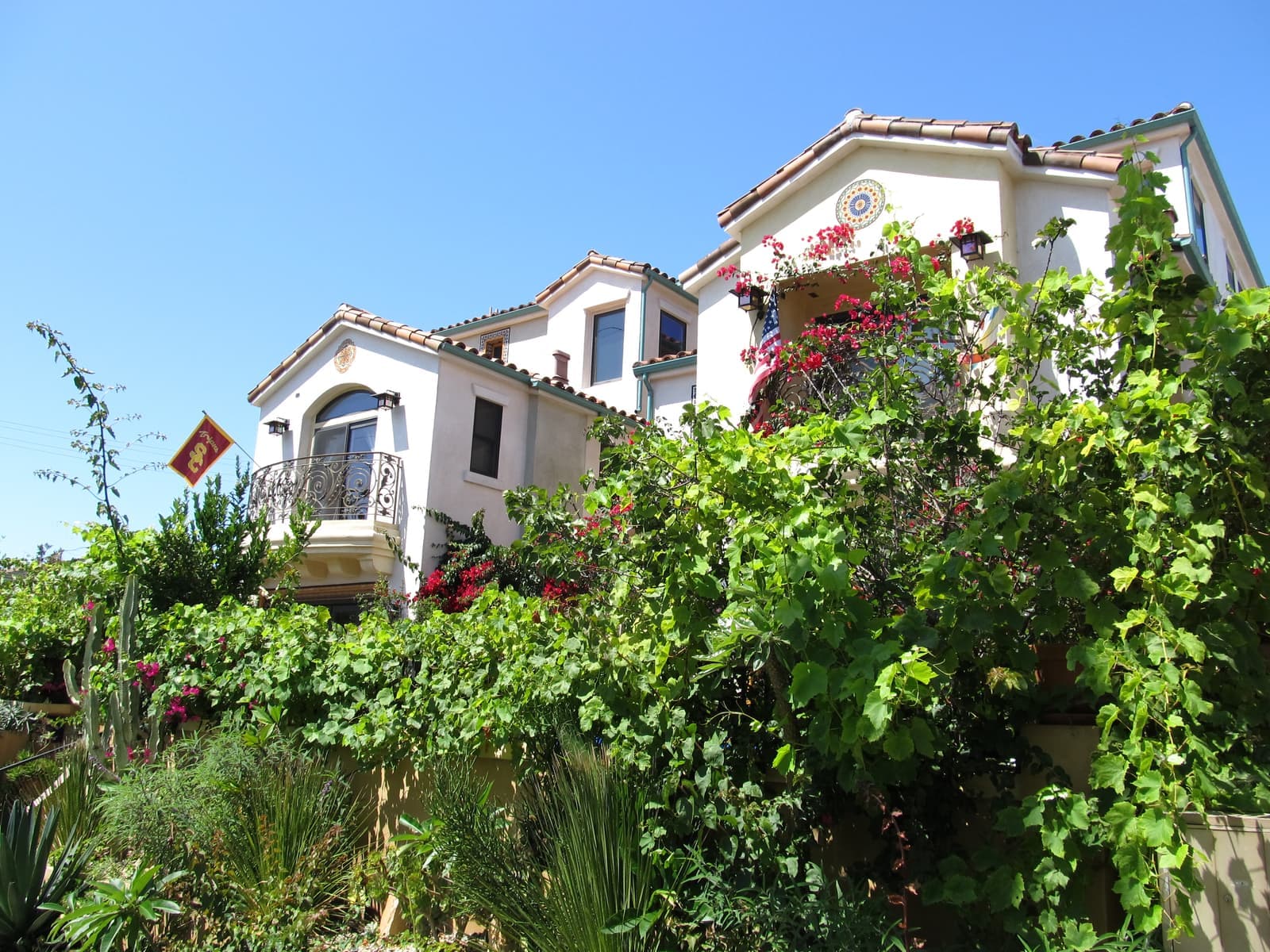
- Narrow original lots: cottages, duplexes, and multi-level rebuilds with roof decks
- Condos, townhomes, and apartments near PCH and Pacific City
- Former oil field: methane rules under City Specification 429 apply to new building
What sets prices downtown
How many blocks to the sand, and where you park the car.
In late September 2026 the mapped area had about 40 homes for sale. Condos were asking from about $750,000 to $2 million and most houses from about $2.2 million to $3.9 million, with a few above that. Price comes down to how many blocks to the sand, whether a deck has an ocean view, and how much off-street parking comes with it. A rebuilt home on an ocean-side block with a two-car garage and a view deck sits at the top. An original cottage on the same block, with alley parking, sits well below it.
Condos and duplex units are the lower entry point. They draw two kinds of buyers: people who want a second home near the pier, and investors who plan to rent. Know the rental rule before you run numbers. Outside Sunset Beach, Huntington Beach only permits hosted short-term rentals, meaning the owner lives on site during the stay, with an annual city permit. A whole-house vacation rental downtown isn't allowed, so underwrite leases longer than 30 nights, and read the HOA's rules, which can be stricter.
Price a house off recent sales on its own block. A cottage and a rebuild three doors apart can be a long way apart.

- An ocean-side block with a view deck and a garage sits at the top
- Condos and duplexes are the entry point; only hosted short-term rentals are allowed
- Comps by block, not by neighborhood
The fine print on parking, permits and methane
Check all of this, plus the flood map and the event calendar, before you make an offer.
Parking is the first problem. Downtown streets near Main and the beach are metered or restricted. The city runs 19 residential permit parking districts citywide, including the blocks around 1st Street and Atlanta Avenue. A permit district caps a household at six permits: four for registered vehicles and two guest passes. Know what the garage and driveway actually hold, and don't count on the street for the rest.
The paperwork is next. The city's Local Coastal Program puts downtown in the Coastal Zone. The Coastal Commission first certified it in 1985, it was last comprehensively updated in 2001, and the Downtown Specific Plan is one of its certified plans. Additions and rebuilds can need a coastal development permit. On former oil-field lots, City Specification 429 sets the methane testing and mitigation rules for new buildings. The Fire Department recommends against building over abandoned wells at all. If an ADU is part of your plan, get the current rules from the planning counter first: the state sued the city in March 2023 over its housing plan and its halt on processing ADU applications, and in September 2025 a state appeals court ruled against the city.
Finally, flood zones and events. Some Huntington Beach properties sit in FEMA Special Flood Hazard Areas, where a federally backed mortgage requires flood insurance, so pull the FEMA map for the exact address. And know the calendar: the U.S. Open of Surfing takes over the beach by the pier for nine days in late July, the Fourth of July parade closes Main Street, and the Pacific Airshow brings its own crowd in early October.

- Street permits are capped per household, so the garage matters
- Coastal Zone: rebuilds and additions may need a coastal development permit
- Methane rules on former oil lots; check the FEMA flood zone by address
Getting around from downtown
Errands on foot, and a slow drive out on Beach Boulevard.
Downtown works on foot. Main Street has coffee, dinner and most errands, and Pacific City adds a food hall and shops. For Dog Beach or the state beach, take a bike on the beach trail. From any of the numbered streets the pier is a short walk.
Driving out is slower than the map suggests. Pacific Coast Highway is the only coastal road, and it backs up on summer weekends. Beach Boulevard runs inland to the 405, about six miles and twenty minutes or more. John Wayne Airport is roughly ten miles and half an hour; LAX is close to forty miles and well over an hour at most times of day. OCTA's Route 1 bus runs the length of Pacific Coast Highway between Long Beach and San Clemente, with stops downtown.
- Walkable core; the beach trail for bikes
- Beach Boulevard to the 405: about six miles
- John Wayne Airport about ten miles; LAX close to forty
More Downtown Huntington Beach facts
- 336 acresSpecific planGoldenwest to Beach Boulevard along the coast
- 1920Oil discoveredThe boom that built the town
- ~2,900 sq ftTypical house lotNarrow town lots, per September 2026 listings
- 92648ZIP codeHuntington Beach



Rentals in Downtown Huntington Beach
34 active rentals in the mapped area
$6,700/mo
Single-Family3 bd4 ba2,765 sqft
609 21st
$2,500/mo
Apartment1 bd1 ba600 sqft
504 12th Street C
$3,295/mo
Apartment2 bd1 ba970 sqft
402 13th Street B
$4,000/mo
Condo2 bd2 ba1,023 sqft
400 Lake Street 103
$3,500/mo
Condo1 bd1 ba781 sqft
1200 Pacific Coast 327
$6,850/mo
Single-Family3 bd4 ba2,564 sqft
416 9th
$4,995/mo
Condo1 bd1 ba781 sqft
1200 Pacific Coast Hwy 314
$4,500/mo
Condo2 bd2 ba1,046 sqft
1200 Pacific Coast
$2,500/mo
Apartment1 bd1 ba600 sqft
312 10th Street L
$25,000/mo
Single-Family4 bd6 ba5,395 sqft
302 14th
$9,000/mo
Single-Family3 bd4 ba3,495 sqft
207 18th Street
$3,300/mo
Condo1 bd1 ba693 sqft
2000 Pacific Coast Highway 203
$3,999/mo
Condo1 ba484 sqft
711 Pacific Coast 106
$3,300/mo
Apartment2 bd1 ba800 sqft
119 17th Street C
$2,995/mo
Apartment2 bd2 ba800 sqft
219 15th Street 7
$7,900/mo
Single-Family3 bd3 ba1,960 sqft
219 13th Street


Questions & answers
Yes, if you want to walk to the beach, the pier and Main Street and can live with a busy summer. The numbered streets between Pacific Coast Highway and Palm Avenue are residential and calm a block off Main, and the sand is minutes away on foot. The downsides: U.S. Open crowds in late July, bar noise on the first blocks of Main, and tight parking. Building rules are stricter too, because the area sits in the Coastal Zone on a former oil field. Families who want quiet cul-de-sacs usually look at Seacliff or the tracts inland instead.
Explore near Downtown Huntington Beach
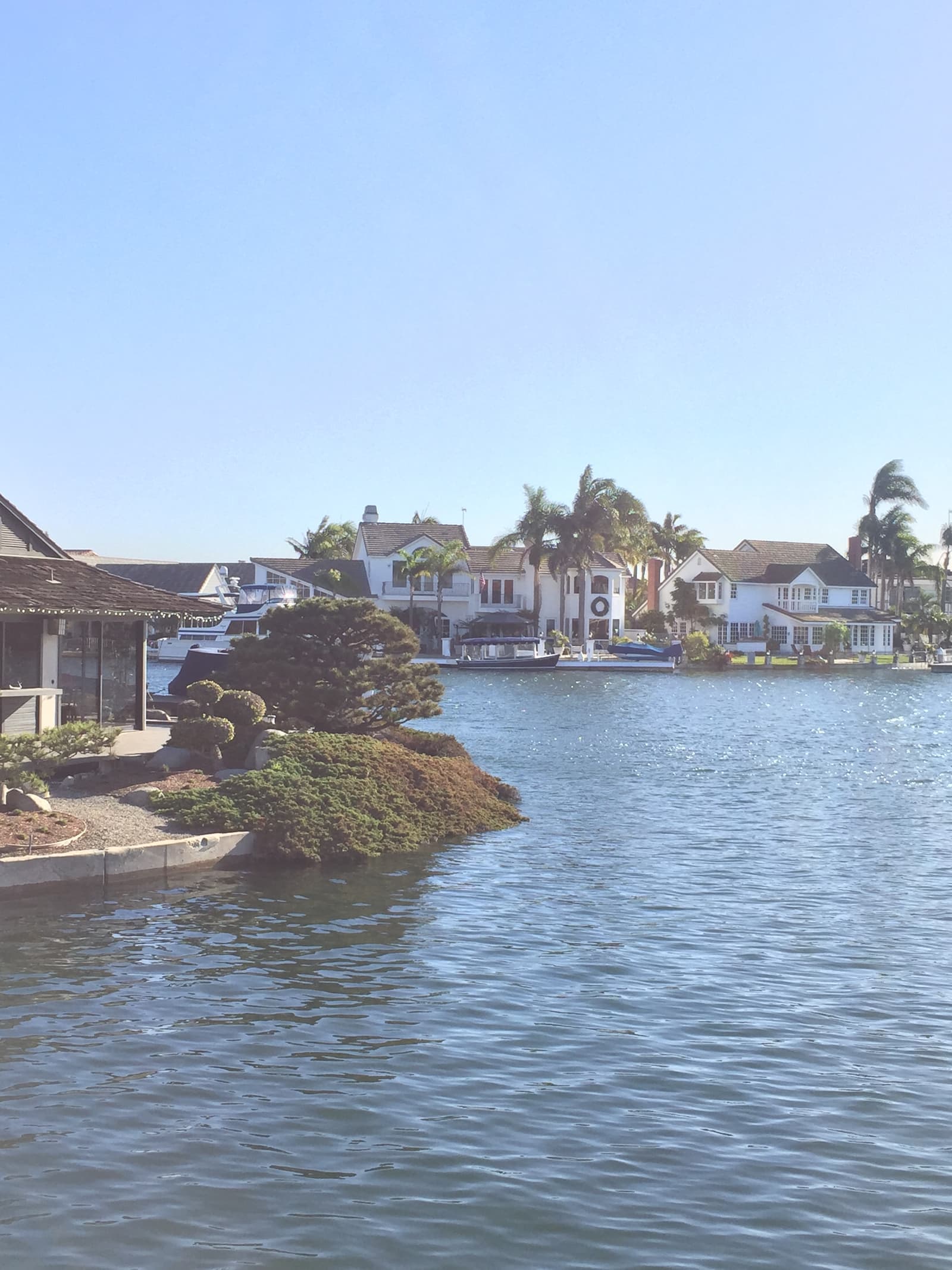
1.6 mi awaySeacliffLate-1980s and 1990s tracts around a golf course, built on the old oil field above the beachRead the guide ›5.3 mi awayHuntington HarbourFive dredged islands at the north end of Huntington Beach, with the boat tied up behind the houseRead the guide ›5.6 mi awaySunset BeachA mile of beach houses on PCH that stayed a county town until Huntington Beach annexed it in 2011Read the guide ›6.7 mi away · Newport BeachBalboa PeninsulaBeach cottages and bay-front houses on a sandspit between the Pacific and Newport Harbor, from Cannery Village to the WedgeRead the guide ›7.3 mi away · Newport BeachBalboa IslandA dredged-up island in Newport Harbor, with cottages on 30-foot lots and a car ferry that's run since 1919Read the guide ›8.7 mi away · Newport BeachCorona del MarThe bluff-top village at the harbor mouth, where the Flower Streets run down to two beachesRead the guide ›
Where we check the facts
The facts in this guide (districts, zones, rules) come from the official records below. We re-check them before property tours.
- Downtown Specific Plan (City of Huntington Beach)huntingtonbeachca.govplan area, districts, 2010 adoption and 2011 Coastal Commission certification
- Flood Information (City of Huntington Beach)huntingtonbeachca.govFEMA flood zones and the flood-insurance rule
- Local Coastal Program (City of Huntington Beach)huntingtonbeachca.govCoastal Zone, certified specific plans, coastal permits
- City Specifications (Huntington Beach Fire Department)huntingtonbeachca.govCity Specification 429, methane mitigation on former oil-field lots
- Residential Permit Parking (City of Huntington Beach)huntingtonbeachca.govpermit parking districts and per-household limits
- Short-Term Rentals (City of Huntington Beach)huntingtonbeachca.govhosted-only rentals outside Sunset Beach, Ordinance 4224
Show all 15 sourcesShow fewer
- Pipeline P00547 oil spill (NOAA Damage Assessment)darrp.noaa.govthe October 2021 spill and the ongoing damage assessment
- Huntington Beach City School Districthbcsd.k12.ca.usK-8 schools and attendance areas
- Huntington Beach Union High School Districthbuhsd.eduhigh schools, including Huntington Beach High
- FEMA Flood Map Service Centermsc.fema.govflood zones by address
- Short-Term Rentals FAQ (City of Huntington Beach, PDF)cms3.revize.comhosted stays at a primary residence, one permit per host, CC&Rs and ADU rules
- National Flood Hazard Layer (FEMA)fema.govflood zones checked against mapped downtown buildings and listings, September 2026
- Flood Zones (FEMA glossary)fema.govzone X and shaded zone X definitions
- Well Finder (CalGEM)conservation.ca.govrecorded oil and gas wells by address
- CRMLSgo.crmls.orgactive listings, asking prices, HOA dues and build years, September 2026
Photo credits (9)
- Holiday lights over Fifth Street at The Strand, a block from Main StreetJonathan Cook-Fisher, CC BY 2.0
- Palms and the Huntington Beach Pier at sunsetChad Davis, CC BY 2.0
- Surfers heading out beside the Huntington Beach PierRoman Eugeniusz, CC BY-SA 3.0
- An evening volleyball game on the sand, with the pier behindTormod Sandtorv, CC BY-SA 2.0
- Surfers wait for waves beside the Huntington Beach Pier, seen from the waterJeremy Bishop, CC0
- A Spanish style house wrapped in bougainvillea on a downtown residential streetKen Lund, CC BY-SA 2.0
- Palms and crape myrtles in bloom along a quiet downtown sidewalkKen Lund, CC BY-SA 2.0
- Palms along Pacific Coast Highway downtown just after sunsetJonathan Cook-Fisher, CC BY 2.0
- Sidewalk cafe tables and beach cruisers on a sunny day on Main StreetKen Lund, CC BY-SA 2.0