





Venice asks 2.2 times as much as Los Angeles does as a whole.
Los Angeles, California · Neighborhood guide
Venice
Small beach lots on canals and walk streets, inside the City of Los Angeles
Median askingVenice$2.7M262 for sale
See homesVenice, in short.
Venice is the beach neighborhood of the City of Los Angeles between Santa Monica and Marina del Rey, about 3 square miles from the sand to Lincoln Boulevard and Walgrove Avenue. Abbot Kinney opened it as Venice of America on July 4, 1905, and it voted to join Los Angeles in 1925. The canals that survive were built by a separate subdivision next door, finished in 1906, and they're now a National Register district with 383 canal-front lots. Most houses sit on small lots, the county median is about 4,200 square feet, and everything west of Lincoln is in the Coastal Zone. As of September 2026, most single-family houses for sale here asked between about $2.4 million and $4.5 million.
Venice by the numbers.
- 36%Homeowner-occupiedoccupied homes
- 73%Bachelor's degree or higherage 25+
- $7,750/moMedian asking rentCurrent MLS listings
- $123,052Median household income
- 40.2Median age
- 1905Venice of America openedJuly 4, by Abbot Kinney
Sources: U.S. Census Bureau, ACS 5-year 2019–2023; neighborhood facts compiled by The Slava House.
A beach town that joined Los Angeles in 1925
Where Venice starts and stops, and the pieces it's made of.
Venice is the City of Los Angeles neighborhood on the ocean between Santa Monica to the north and Marina del Rey to the south. The Los Angeles Times' Mapping L.A. project puts it at 3.17 square miles, running inland to Walgrove Avenue and Lincoln Boulevard. The Venice Neighborhood Council uses nearly the same lines: Santa Monica on the north, Walgrove and Lincoln on the east, Marina del Rey on the south, and the Pacific on the west.
It started as its own town. The area incorporated as Ocean Park in 1904, Abbot Kinney opened his Venice of America resort on July 4, 1905, and the city renamed itself Venice in 1911. Residents voted in October 1925 to consolidate with Los Angeles, 3,130 to 2,215, and the merger was completed on November 25, 1925. Mapping L.A. counted 37,705 residents in 2000.
Inside those lines are several different places. North Venice, near the beach north of Windward, has most of the walk streets. The canals sit south of Venice Boulevard. Oakwood and Milwood are the inland blocks toward Lincoln, and the Marina Peninsula is the strip of condos and beach houses between the sand and the Marina del Rey channel. Abbot Kinney Boulevard cuts diagonally through the middle.
- About 3 square miles from the sand to Walgrove and Lincoln
- Venice of America opened in 1905; the city joined Los Angeles in 1925
- North Venice, the canals, Oakwood, Milwood, and the Marina Peninsula feel like different towns
Live from the MLS
Venice compared with all of Los Angeles.
A square foot in Venice costs 67% more than across Los Angeles.
Venice$1,104
All of Los Angeles$661
Listings in Venice have been on the market about as long as across Los Angeles.
What’s for sale
50% of the homes for sale in Venice are single-family houses.
- Single-family50%132 homes
- Condo26%69 homes
- Multi-unit19%51 homes
- Townhouse3%7 homes
- Other1%3 homes
Homes for sale in Venice are 30% bigger than across Los Angeles.
Venice2,411 sq ft
All of Los Angeles1,851 sq ft
Each card sets the median in Venice against all of Los Angeles. The arrow on a card lists every Los Angeles neighborhood we cover. Asking prices for homes on the market right now inside each mapped area, not sale prices. Updated October 4, 2026, 6:00 AM PT
Homes for sale in Venice
262 active listings in the mapped area
$1,875,000
Townhouse3 bd3 ba1,803 sqft
406 Brooks Avenue
$995,000
Condo1 bd2 ba928 sqft
13700 Marina Pointe Drive 1210
$1,395,000
Condo2 bd3 ba1,679 sqft
13650 Marina Pointe Drive 404
$1,449,000
Single-Family2 bd2 ba1,503 sqft
718 Valita Street
$1,589,000
Single-Family2 bd2 ba1,196 sqft
2328 Beach Avenue
$1,746,000
Single-Family2 bd2 ba1,498 sqft
800 Seventh Avenue
$4,295,000
Single-Family5 bd5 ba3,817 sqft
1500 Louella Avenue
$3,249,000
Single-Family5 bd6 ba3,163 sqft
1039 Nowita Place
$3,150,000
Single-Family4 bd3 ba2,499 sqft
2409 Wilson Avenue
$2,399,999
Single-Family3 bd2 ba2,443 sqft
818 Palms Boulevard
$4,295,000
Single-Family5 bd6 ba3,667 sqft
2478 Louella Avenue
$1,575,000
Condo2 bd3 ba1,459 sqft
13700 Marina Pointe Drive 1411
$1,850,000
Single-Family2 bd2 ba1,258 sqft
3028 Yale Avenue
$949,000
Condo1 bd2 ba993 sqft
13700 Marina Pointe Drive 1520
$2,595,000
Single-Family4 bd3 ba1,925 sqft
908 California Avenue
$3,499,999
Multi-Family6 bd5 ba4,015 sqft
1140 Nowita Place

Still deciding? Ask me.
I’m a Realtor based in Long Beach, and Los Angeles is one of the cities I work most. Tell me what you’re after in Venice and I’ll help you get there.
Slava Ploshkin · DRE #02323623English and Russian · How I work in Los Angeles
Where to eat, shop, and explore in Venice
The restaurants, cafes, shops, parks, and landmarks that give Venice its everyday character, most within a short walk.
11 places
Pick one and I’ll show you where it is.
Park10 min walk
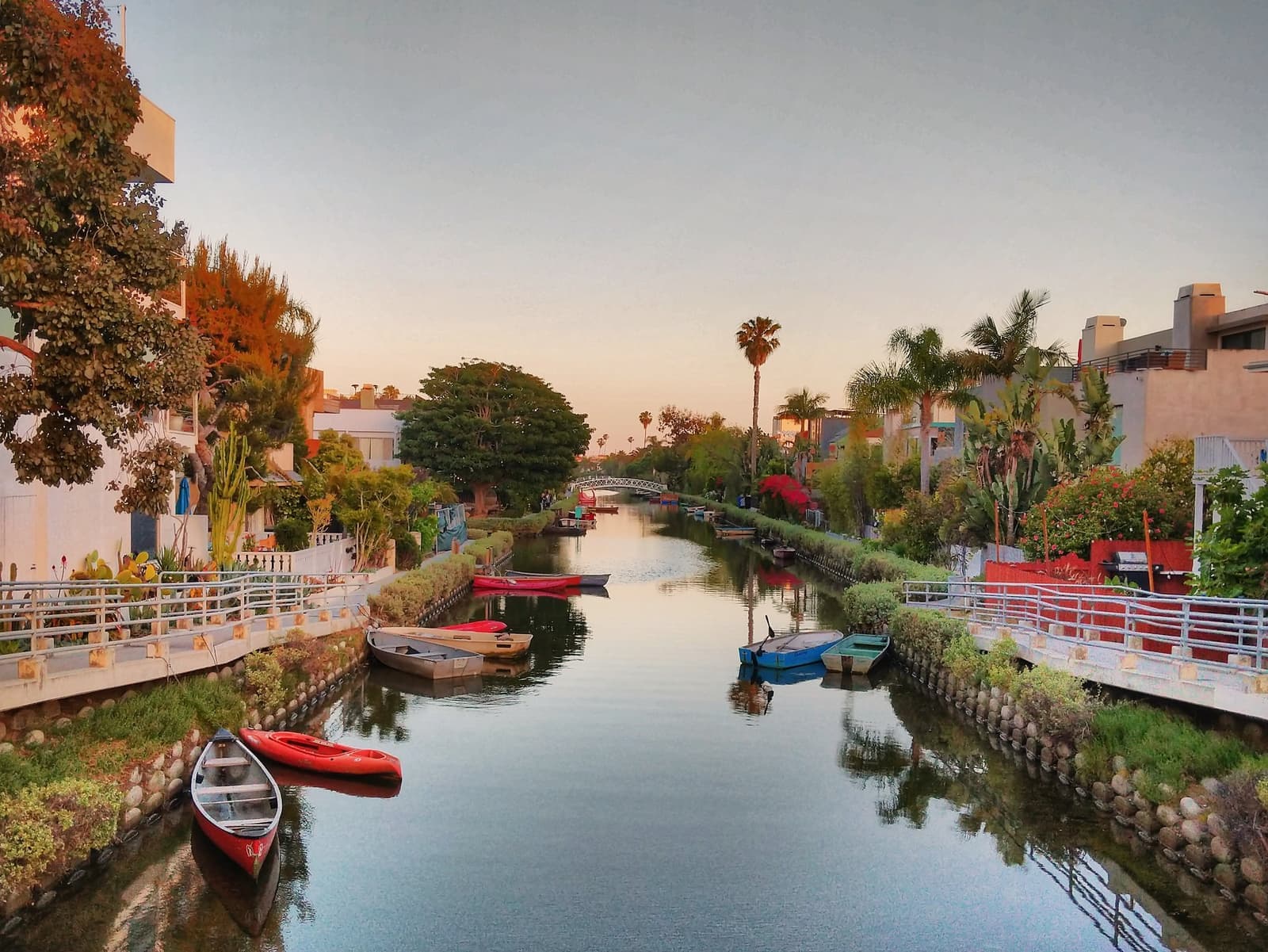
The six surviving canals south of Venice Boulevard: Carroll, Linnie, Howland, and Sherman running east to west, tied together by the Eastern and Grand canals.
There's no parking on the canal paths. Park on a nearby street and walk in.
Beach20 min walk
The busiest stretch of the more than two-mile boardwalk, where Windward Avenue meets the beach.
Recreation15 min walk
The city-run outdoor gym on the sand at 1800 Ocean Front Walk, open to the public since 1963.
Day passes are $10 and a year is $200 on the city's current price list.
Recreation20 min walk
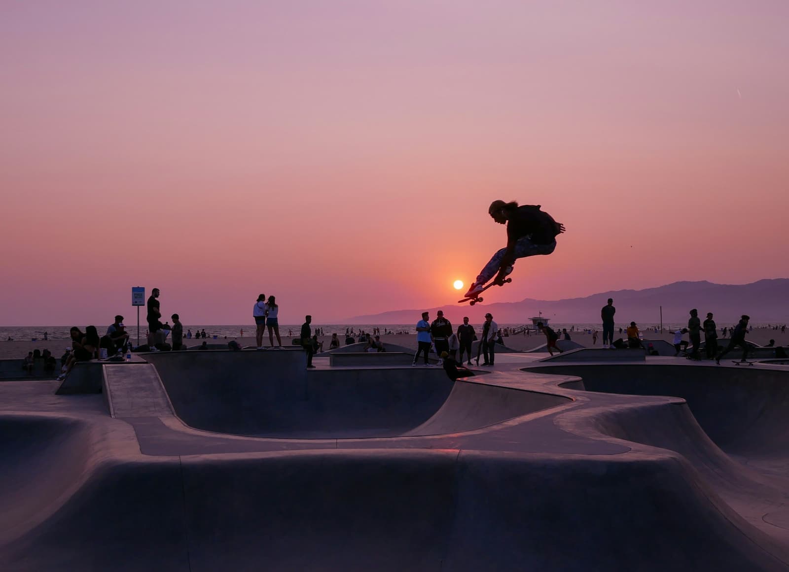
The concrete bowls on the beach near Windward, opened in 2009 and busiest around sunset.
Landmark20 min walk
The lit sign over Windward Avenue at Pacific, recreated by neighbors in 2007, above the old arcades from the Kinney era.
Shopping20 min walk
The shopping and restaurant street through the middle of Venice, busiest on First Friday evenings.
Restaurant15 min walk
The restaurant at 1429 Abbot Kinney, open since 2008.
Coffee15 min walk
The coffee bar at 1331 Abbot Kinney, open from 6 a.m.
Restaurant15 min walk
The ice cream shop at 1357 Abbot Kinney, open noon to 11 p.m. daily.
Restaurant30 min walk
The bakery and deli at 320 Sunset Avenue, just off Main Street in North Venice.
Beach · Nearby15 min walk
The city pier at the foot of Washington Boulevard, about 1,300 feet long.
The city has been funding repair work on the pier; check Recreation and Parks before you plan a walk out.
Living on the Venice canals
Why the southern canals survived, and what owning on one means now.
Kinney's crews started digging in 1904, and his Venice of America had seven canals, nearly two miles of them. Those are gone. Starting July 1, 1929, the city filled them in: Coral Canal became Main Street, Aldebaran became Market Street, Venus became San Juan Avenue, and Lion became Windward Avenue. The canals that survive belonged to a separate subdivision next door, Short Line Beach, which was finished in January 1906. They were spared because the area didn't have enough residents to pay the assessment to fill them.
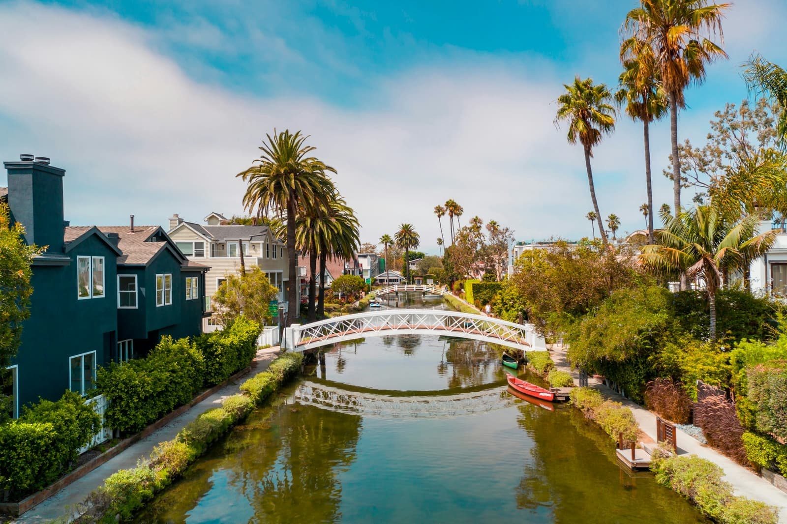
What's left is Carroll, Linnie, Howland, and Sherman running east to west, the Eastern Canal connecting them, and the Grand Canal that links the system to Ballona Lagoon. The group was listed on the National Register as the Venice Canals Historic District on August 30, 1982, and the water itself is Los Angeles Historic-Cultural Monument No. 270. The city dredged the channels and rebuilt the banks and walkways in a project finished in 1993.
There are 383 lots facing the canals. The canals are city-owned public rights-of-way and protected habitat, the paths in front of the houses are open to anyone walking through, and only non-motorized boats like canoes are allowed. The Coastal Commission capped private docks at 175. Building rules are tighter than the rest of Venice: 22 feet of height within 10 feet of the canal, stepping up to 30 feet further back, an open front yard of at least 450 square feet on the water side, three parking spaces for a house on a lot under 40 feet wide, and no combining of lots.
In late September 2026, six single-family houses on the canals were listed, asking from about $1.9 million to $4.5 million. Several small income buildings on the Grand Canal were listed too.
- Kinney's canals were filled starting in 1929; the Short Line Beach canals survived
- National Register district since 1982; the city rebuilt the banks by 1993
- 383 canal-front lots, public paths out front, and a 22-foot height limit at the water
Front doors on garden paths with no cars
What a walk street is and the rules that come with the front yard.
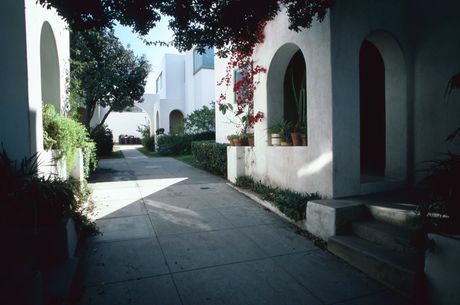
A walk street is a public street that was never paved for cars. The Venice Coastal Zone Specific Plan defines it as a right-of-way improved for people on foot over part of its width and landscaped, with no vehicle access. The houses face each other across a narrow path and gardens, and the garage is on the alley behind.
The Specific Plan lists them by name. Near the beach there's Dudley, Breeze, Wave Crest, Paloma, Park Place, Vista Place, Ozone, and Club House, plus the numbered avenues from 23rd to 30th. Between Lincoln Boulevard and Shell Avenue there are Nowita Place, Marco Place, and Amoroso Place, and Crescent Place runs between Palms and Shell. On the Marina Peninsula, the short streets named for boats, like Galleon, Privateer, Reef, Spinnaker, Westwind, and Yawl, are walk streets too.
The front yard is partly public, and the rules show it. Fences and hedges in the public right-of-way can't top 42 inches, nothing can sit within five feet of the centerline, and gardening in that strip needs a revocable encroachment permit from Public Works. Only emergency vehicles drive on them. Houses facing a walk street top out at 28 feet, and no more than two lots can be combined.
Walk-street houses listed in late September 2026 asked from about $1.7 million to $5.9 million, depending mostly on the street and how new the house is.
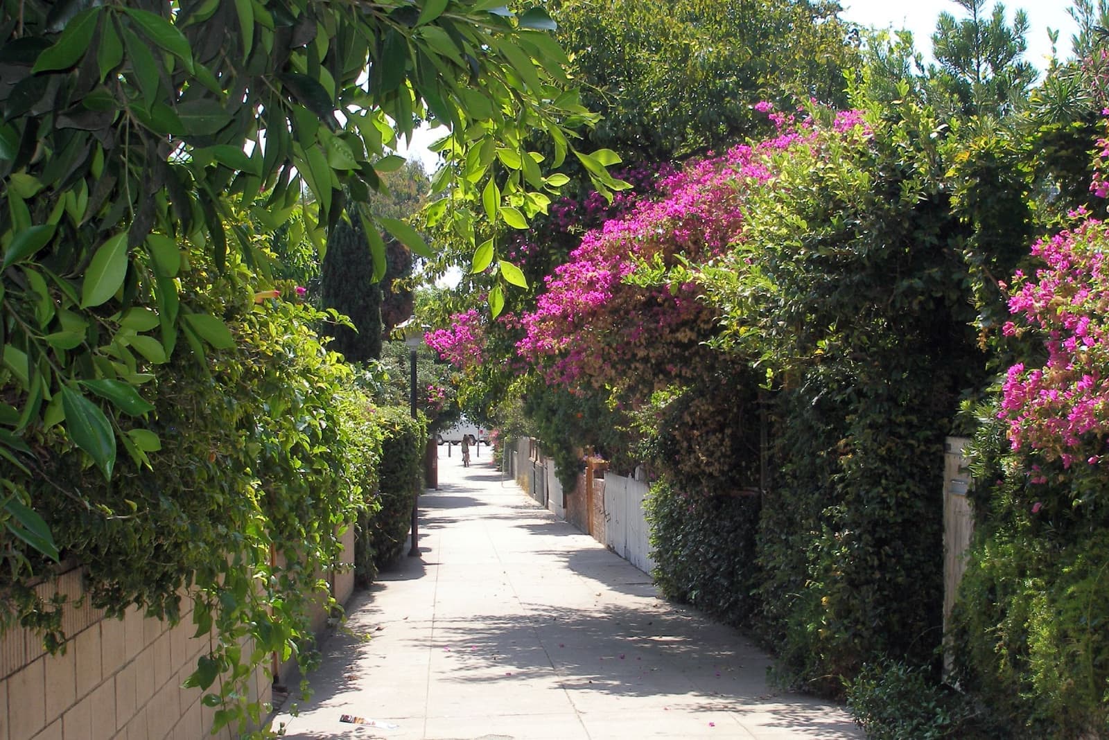
- Public paths with gardens instead of pavement; garages open onto the alley
- 42-inch limit on fences and hedges, 28-foot height limit on the houses
- About $1.7 million to $5.9 million asked in late September 2026
Living near Abbot Kinney and the boardwalk
Both are a nice walk, but the beach draws over ten million visitors a year and summer weekends get loud.
Abbot Kinney Boulevard is the neighborhood's main shopping and restaurant street. GQ called it the coolest block in America in 2012, and the business association still runs First Fridays every month from 5 to 9:30 p.m. Gjelina has been there since 2008, and Intelligentsia and Salt & Straw sit a block apart in the 1300s. The city's coastal plan calls for four-hour meters on the street, so plan on your guests paying to park.
The boardwalk is Ocean Front Walk, more than two miles along the sand. The city's Recreation and Parks department says Venice Beach gets over ten million visitors a year and calls it the busiest place the department runs. Muscle Beach has been on the sand since 1963, the skatepark opened in 2009, and neighbors put the Venice sign back up over Windward in 2007. The arcades along Windward Avenue survive from Kinney's town and are a city Historic-Cultural Monument.
If you live within a few blocks of the boardwalk or Abbot Kinney, you'll feel those crowds on summer weekends, mostly as strangers parking on your street and noise into the evening. A few blocks inland, or on the canals, it gets quiet fast.
- Abbot Kinney for shops and restaurants; First Fridays every month
- Over ten million visitors a year on the beach and boardwalk
- Summer weekends are loud near the sand; inland blocks are much calmer
Homelessness in Venice, as of 2026
The counts and the city's programs only tell you so much, so walk the block yourself.
Homelessness has been the biggest political fight in Venice for years, and it shapes how some blocks feel. The city rewrote its anti-camping law, Los Angeles Municipal Code 41.18, in September 2021 and expanded it in September 2022 to cover sidewalks within 500 feet of schools and daycare centers. Mayor Karen Bass's Inside Safe program started its Venice operation on January 4, 2023, and moved close to 100 people from an encampment into shelter in the first weeks.
The numbers moved in different directions. The Los Angeles Homeless Services Authority's final 2025 count put the City of Los Angeles at 43,695 people. Local reporting on the 2026 count put the city at 45,194, up 3.4%, while the Westside council district that includes Venice was reported down for a third straight year. The Mayor's office cited a separate RAND study that also showed a decrease in Venice.
The Venice Dell project is the one to follow. It's 120 apartments, 68 of them permanent supportive housing, planned for the city parking lot on the Venice Boulevard median near the beach. It won Coastal Commission approval in December 2024 and a $42.5 million state award in September 2025, and a court ruled for it on May 26, 2026. Local reporting said construction could start late in 2027 if nothing else stops it.
Walk any block you're serious about in the morning and again on a weekend night, and look down the alley too. Venice changes block by block and month by month. Your own eyes beat any average.
- Anti-camping rules expanded in 2021 and 2022; Inside Safe came to Venice in January 2023
- The city's 2026 count rose 3.4%; the Westside district was reported down
- The 120-unit Venice Dell project won in court in May 2026
Coastal permits and sea level
The paperwork that makes building in Venice different from the rest of Los Angeles.
Nearly all of Venice, everything west of Lincoln Boulevard plus the Oxford Triangle just east of it, is in the Coastal Zone, and Venice still doesn't have a certified Local Coastal Program. The Coastal Commission certified a Land Use Plan for Venice on June 14, 2001, and the city has used the Venice Coastal Zone Specific Plan since 1999, revised in 2004, but the full program was never finished. City Planning started the update in 2015 and said it expected to release a draft for public review in the second half of 2026. Until then, most new building, big remodels, and many changes of use need a coastal development permit, and projects close to the beach, in what the city calls the dual permit jurisdiction area, go to the Coastal Commission as well.
The Specific Plan sets heights by area. In North Venice, a flat roof can reach 30 feet and a varied roofline 35 feet. In Oakwood, Milwood, and Southeast Venice, it's 25 and 30. On the canals it's 22 feet at the water. The state Mello Act also applies in the Coastal Zone, and it limits tearing down or converting housing occupied by low- and moderate-income tenants.
On FEMA's flood map, the canals sit in zone AE with a base flood elevation of 8 feet at the points I checked, and the sand is zone VE. In our count, about 950 of the roughly 5,200 house parcels in Venice fall inside that AE zone, mostly around the canals and the blocks east of the Grand Canal. The canals depend on two tide gates, at the Marina del Rey jetty and at Washington Boulevard, and neither is FEMA-certified as flood control. In August 2017 a problem with the Marina gate flooded the canals up to the sidewalks.
The city's 2018 sea-level-rise study found that more than 750 parcels, most of them homes, could flood today if a tide gate failed during an extreme high tide. With 6.6 feet of sea-level rise, more than 4,000 parcels are exposed. The same study says the wide beach still protects most of Venice from waves for now.
- No certified Local Coastal Program yet; most building needs a coastal permit
- Canals are in FEMA zone AE (8 feet); about 950 house parcels sit in that zone
- The 2018 city study flags 750+ parcels at risk from a tide-gate failure today
What you can build on a small Venice lot
Parking and ADUs work differently here than in the rest of Los Angeles.
Venice lots are small. The Land Use Plan describes lots under 3,000 square feet near the beach and around 5,000 closer to Lincoln. In the county parcel records for our Venice outline, the median house lot is about 4,200 square feet, and 43% of house lots are under 4,000. There are about 5,200 house parcels, about 2,350 condo units, and roughly 2,650 parcels with two or more units holding close to 11,000 apartments. About a third of the houses have a recorded build year before 1940, and about one in eight is from 2000 or later, which tells you how much has been torn down and rebuilt.
Parking rules are strict for new projects and loose on the street. A new single-family house generally needs two spaces, and three on the canals and in the Silver Strand. In the Beach Impact Zone a developer can pay $18,000 per space instead of building it. A 2021 city study counted 14,291 spaces in Venice, 12,157 of them on the street, and found about 18% of street spaces are never used. The Land Use Plan only allows permit parking districts if every public space they take is replaced one for one, so don't count on a residential permit.
ADUs and lot splits get an extra step here. The Coastal Commission's guidance says it generally handles coastal review for ADUs where there's no fully certified Local Coastal Program, and its 2022 memo on SB 9 says the Coastal Act still applies in full in the Coastal Zone. Plan on a coastal permit or exemption before you design a back house.
If you're buying a duplex or small apartment building, check the build date. The city's Rent Stabilization Ordinance generally covers rental properties first built on or before October 1, 1978. Short-term rentals fall under the Home-Sharing Ordinance: only in your primary residence, where you live more than six months a year, up to 120 days a year, and never in a rent-stabilized unit.
- Median house lot about 4,200 square feet; many near the beach are under 3,000
- Two parking spaces for a new house, three on the canals; no permit parking districts
- ADUs and SB 9 splits need coastal review; older rentals fall under rent stabilization
What I check on a Venice house
September 2026 asking prices, plus the permits and flood papers behind them.
On September 25, 2026, our Venice outline had 273 active listings. The 131 single-family houses asked from about $1.27 million to $13.9 million, and the middle half asked between about $2.4 million and $4.5 million. The 77 condos asked from about $740,000 to $7 million, most of them between $1 million and $2 million. There were also about 50 duplexes, fourplexes, and small apartment buildings, asking roughly $1 million to $10 million.
On any Venice house I start with the permit history, because so much here has been rebuilt: the coastal development permit, any Coastal Commission conditions recorded on title, and whether the square footage on the listing matches what was approved. Then flood. I pull the FEMA zone and an elevation certificate for anything near the canals, and I get a flood insurance quote before we write an offer.
Next I check the block itself. That means parking and alley access, whether the house is on a walk street with its encroachment permit in order, and what the nearest few blocks feel like at night. On income property I confirm rent stabilization status and the tenant situation, because the Mello Act and the rent rules shape what you can do later.
- Houses: middle half about $2.4 million to $4.5 million asked, as of September 25, 2026
- Pull the coastal permit history and any recorded conditions before you offer
- Flood zone, elevation certificate, and an insurance quote for anything near the canals
More Venice facts
- 1925Joined Los AngelesVoted in October, completed Nov. 25
- 383Canal-front lotsOn six surviving canals
- ~4,200 sq ftTypical house lotCounty parcel median; 43% are under 4,000
- AE, 8 ftFlood zone on the canalsFEMA base flood elevation where we checked
- 4,000+Parcels at risk with 6.6 ft of sea-level riseCity's 2018 Venice study




Rentals in Venice
162 active rentals in the mapped area
$5,250/mo
Condo1 bd1 ba1,000 sqft
8 Brooks Avenue 3
$6,000/mo
Single-Family2 bd2 ba1,188 sqft
255 Main Street 103
$20,000/mo
Single-Family4 bd4 ba2,018 sqft
712 Nowita Place
$3,795/mo
Duplex1 bd1 ba700 sqft
744 1/2 Flower Avenue
$8,000/mo
Condo2 bd3 ba1,750 sqft
221 3rd Avenue
$2,492/mo
Condo1 bd1 ba650 sqft
313 Mildred Avenue 20
$21,000/mo
Single-Family4 bd4 ba2,505 sqft
3108 Yale Avenue
$6,495/mo
Condo2 bd2 ba678 sqft
6 Voyage Street 105
$15,000/mo
Condo3 bd3 ba1,509 sqft
34 Buccaneer Street 1A
$4,950/mo
Apartment1 bd1 ba1,057 sqft
1318 Pacific Avenue
$1,995/mo
Apartment1 ba400 sqft
120 Hurricane 3A
$2,200/mo
Condo1 ba300 sqft
616 Vernon Avenue 3
$3,400/mo
Condo1 bd2 ba
402 N Venice Boulevard A
$6,975/mo
Single-Family2 bd2 ba
911 Indiana Avenue
$5,195/mo
Condo3 bd2 ba1,000 sqft
1025 Pleasantview Avenue B
$19,500/mo
Single-Family5 bd6 ba5,204 sqft
115 Union Jack Mall

Questions & answers
Venice is the beach neighborhood of the City of Los Angeles between Santa Monica and Marina del Rey. It runs about 3 square miles from the sand inland to Walgrove Avenue and Lincoln Boulevard. The Los Angeles Times' Mapping L.A. project puts it at 3.17 square miles, and the Venice Neighborhood Council uses nearly the same boundaries.
Explore near Venice
1.6 mi away · Santa MonicaOcean ParkSanta Monica's beach corner south of Pico Boulevard, with Main Street running through itRead the guide ›2.0 mi away · Santa MonicaSunset Park1930s and 40s houses between Pico Boulevard and Santa Monica Airport, with Clover Park in the middleRead the guide ›4.0 mi away · Santa MonicaNorth of MontanaSanta Monica's single-family streets between Montana Avenue and the canyon rim, from Ocean Avenue to 26th StreetRead the guide ›7.0 mi away · Beverly HillsThe Beverly Hills FlatsCurving 1906 streets between Santa Monica Boulevard and Sunset, each planted with its own kind of treeRead the guide ›7.1 mi awayBrentwoodCanyon houses above Sunset and big-lot streets below it, on the west side of the 405Read the guide ›7.2 mi away · Manhattan BeachSand SectionThe beach blocks west of the greenbelt, where most lots measure 30 by 90 feetRead the guide ›
Where we check the facts
The facts in this guide (districts, zones, rules) come from the official records below. We re-check them before property tours.
- LA City Planning: Pre-Consolidation Communities of Los Angeles (SurveyLA)planning.lacity.govVenice of America, Short Line Beach canals, 1925 consolidation
- PBS SoCal Lost LA: The lost canals of Venice of Americapbssocal.orgoriginal canals and the 1929 filling
- National Park Service: Venice Canals Historic District (82002193)npgallery.nps.govNational Register listing
- California Coastal Commission: Venice canals staff report (2003)documents.coastal.ca.govcanal lots, docks, 1993 rehabilitation
- LA City Planning: Venice Coastal Zone Specific Planplanning.lacity.govwalk streets, heights, parking, canal rules
- LA City Planning: Venice Land Use Plan (2001)planning.lacity.govlot sizes, parking districts, Mello Act
Show all 24 sourcesShow fewer
- LA City Planning: Venice Local Coastal Programplanning.lacity.govLCP status and draft timing
- LA City Planning: Venice sea-level-rise vulnerability assessment (2018)planning.lacity.govtide gates and parcels at risk
- LA City Planning: Venice parking utilization study (2021)planning.lacity.govparking supply and use
- California Coastal Commission: ADU memo (2020)documents.coastal.ca.govcoastal review of ADUs
- California Coastal Commission: SB 9 memo (2022)documents.coastal.ca.govlot splits in the Coastal Zone
- LA Recreation and Parks: Venice Beachrecreation.parks.lacity.govvisitors, boardwalk length, pier
- LA City Clerk: LAMC 41.18 (Council File 20-1376-S1)cityclerk.lacity.organti-camping ordinance
- LAHSA: final 2025 homeless countlahsa.orgcity and county totals
- Yo! Venice: 2026 homeless count on the Westsideyovenice.com2026 figures
- California HCD: Venice Dell award letter (2025)hcd.ca.govunits, timeline, state funding
- Yo! Venice: Venice Dell court ruling (2026)yovenice.comMay 2026 ruling and timing
- LA City Clerk: Home-Sharing Ordinance 185931cityclerk.lacity.orgshort-term rental rules
- LA Housing Department: Rent Stabilization Ordinancehousing.lacity.govwhich buildings are covered
- LAUSD School Choiceschoices.lausd.netmagnet and dual-language programs
- Los Angeles Times: Mapping L.A., Venicemaps.latimes.comarea and population
- FEMA Flood Map Service Centermsc.fema.govflood zones by address
- Los Angeles County Assessorportal.assessor.lacounty.govlot sizes, unit counts, and recorded build years
- CRMLSgo.crmls.orgactive listings
Photo credits (9)
- The canals at sunset, looking down one of the east-west channelsknorby, CC BY 2.0
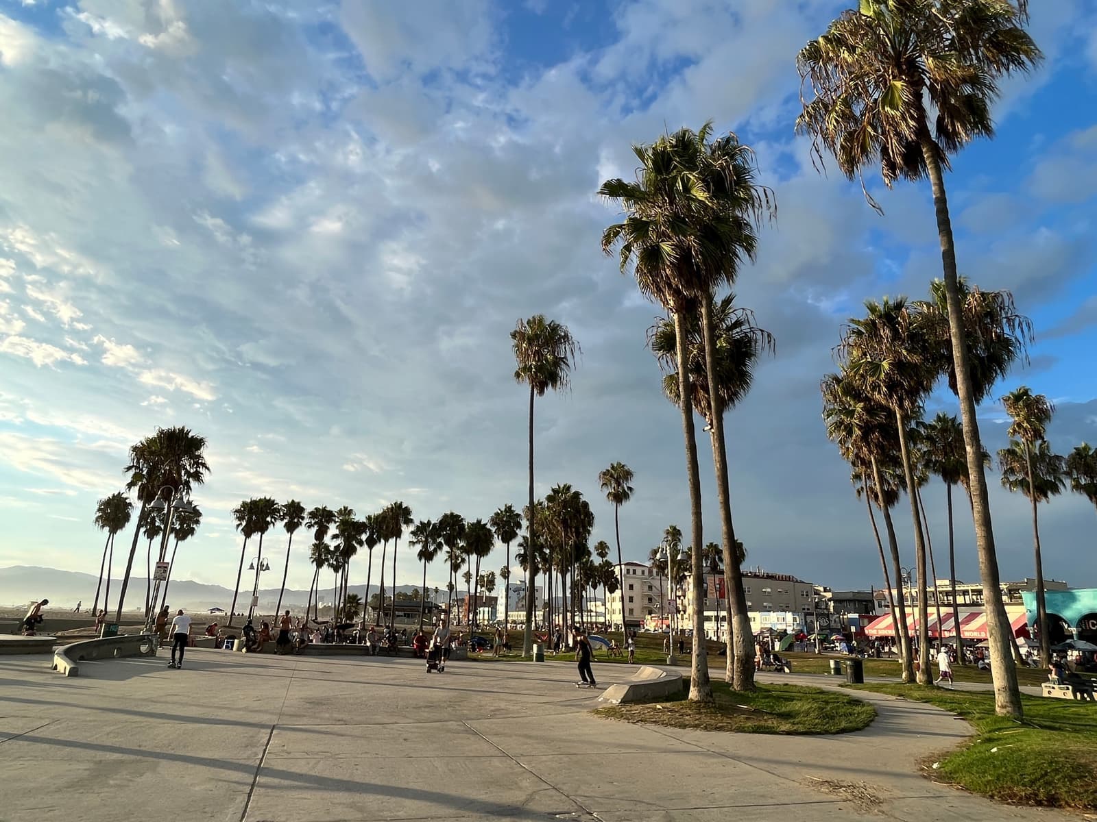
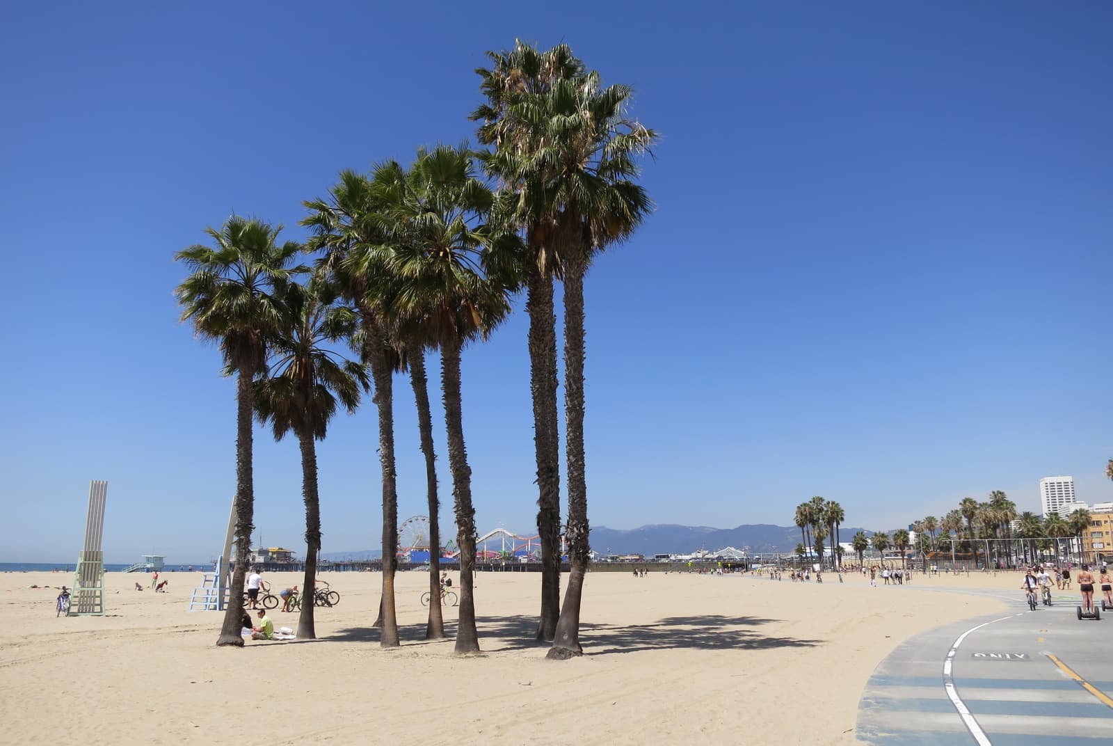
- Late afternoon among the palms of the Venice Beach recreation areaAnother Believer, CC BY-SA 4.0
- One of the arched footbridges over the canalsLeo_Visions, Unsplash License
- A Venice walk street, where the houses face a garden path instead of a roadPaul Hamilton, CC BY-SA 2.0
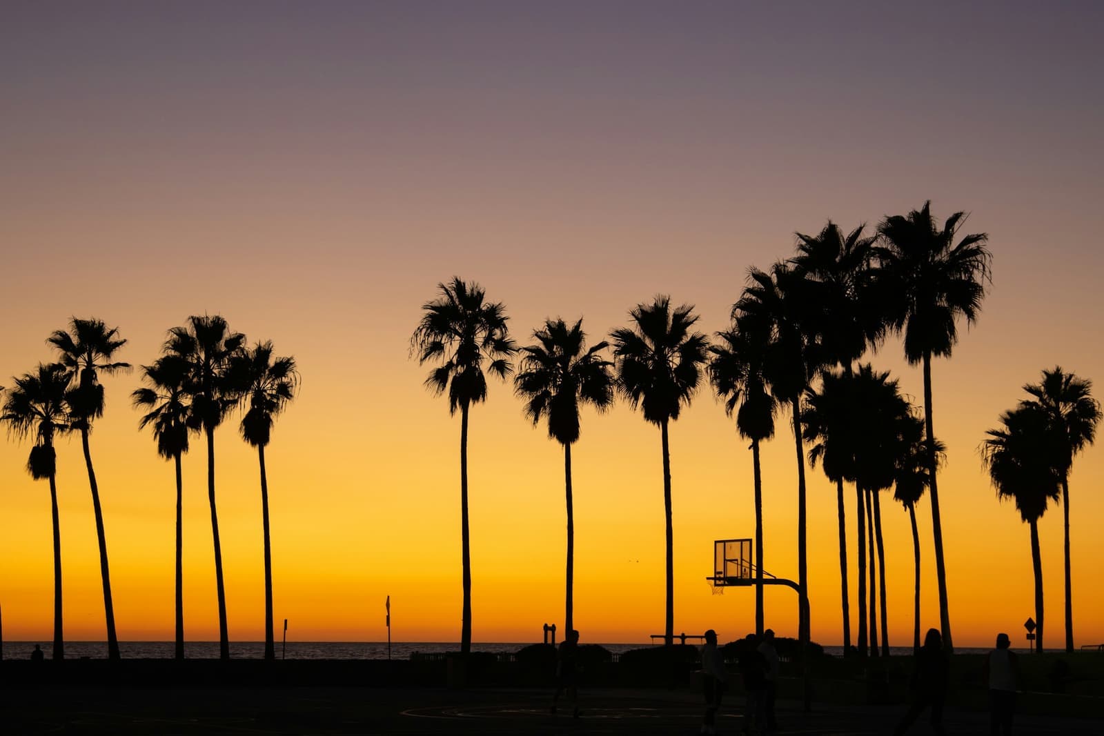
- Sunset behind the palms and the courts at Venice BeachCaleb Jack, Unsplash License
- The skatepark on the sand, open since 2009Shinichiro Ichimura, Unsplash License
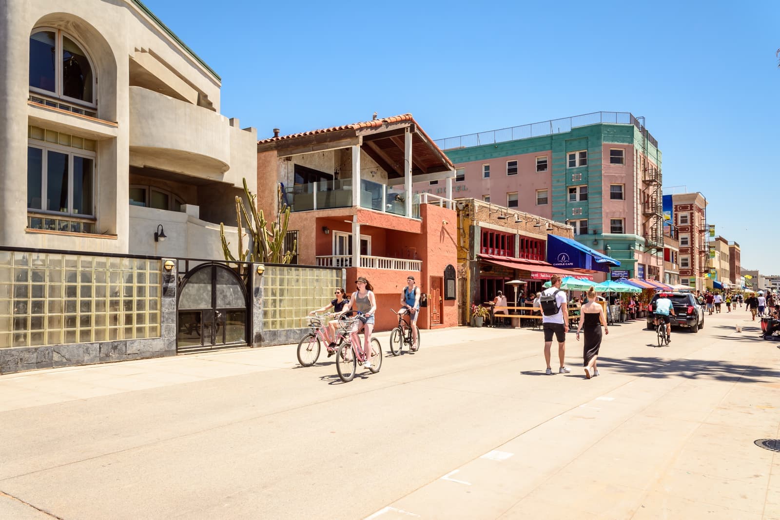
- Bikes and walkers on Ocean Front Walk, passing the Cadillac HotelDomenico Convertini, CC BY-SA 2.0
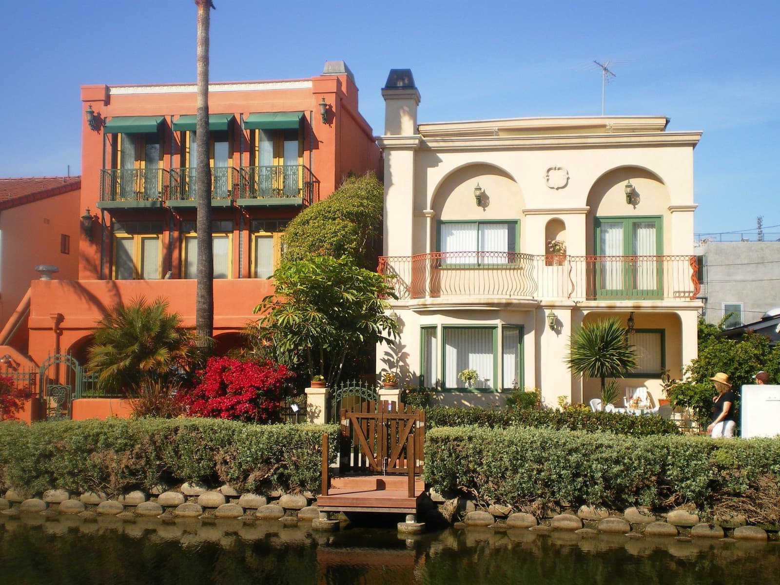
- Stucco houses, balconies and bougainvillea along the Grand Canal in VeniceLos Angeles (Wikimedia Commons user), CC BY-SA 3.0
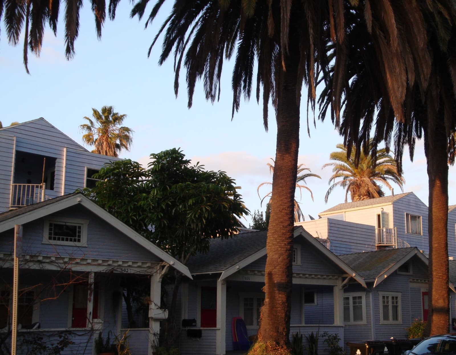
- Late light on Craftsman bungalows under tall palms in Venicemanfred matticka, CC BY-SA 3.0