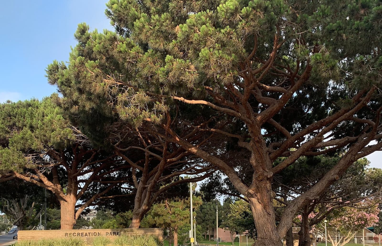

Sand Section asks 15% more than Manhattan Beach as a whole.
Sand Section$5.75M
All of Manhattan Beach$5M
The beach blocks west of the greenbelt, where most lots measure 30 by 90 feet
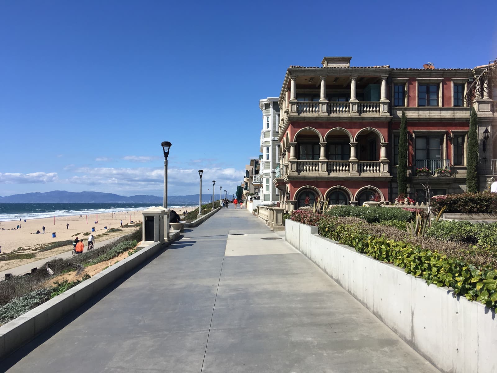
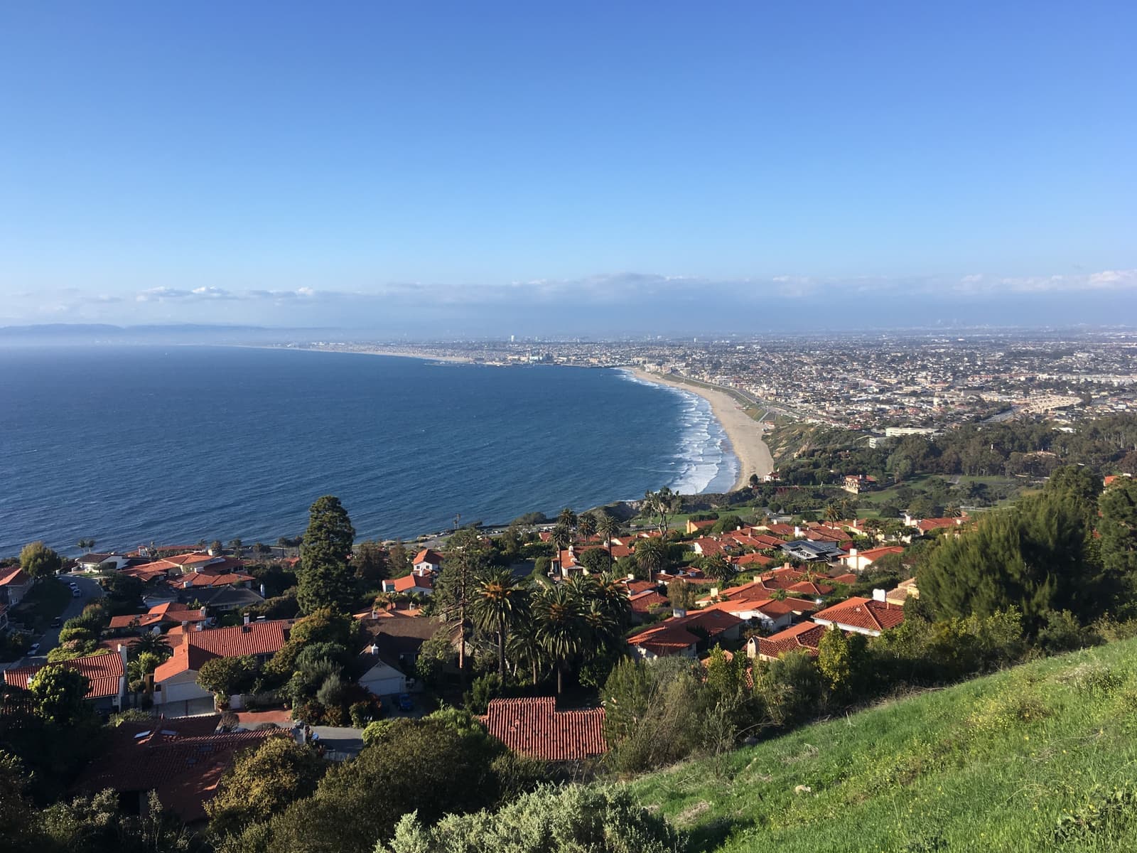
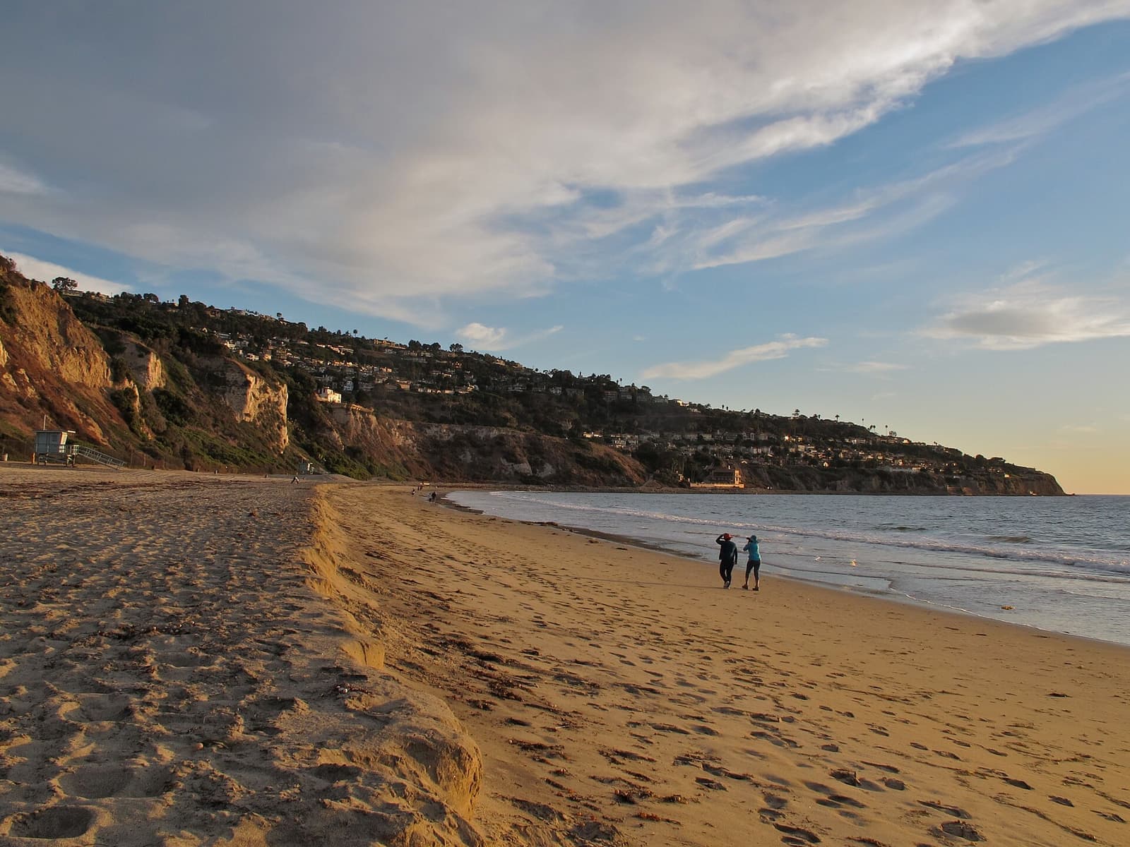
The Sand Section is the part of Manhattan Beach between the ocean and the Veterans Parkway greenbelt on Valley Drive and Ardmore Avenue, running from El Porto at the El Segundo line south to Hermosa Beach. The zoning code calls it Area Districts III and IV. It's a grid of lots that mostly measure 30 by 90 feet, or 2,700 square feet, with pedestrian walk streets, the Strand, downtown, and the 928-foot pier dedicated in 1920. The code allows 30 feet and three stories, and county records date about 36% of its houses to 1990 or later. As of September 2026, houses off the Strand were asking about $2.2 million to $14.3 million.
Sources: U.S. Census Bureau, ACS 5-year 2019–2023; neighborhood facts compiled by The Slava House.
Where the Sand Section starts and stops, and which parts of it people call by other names.
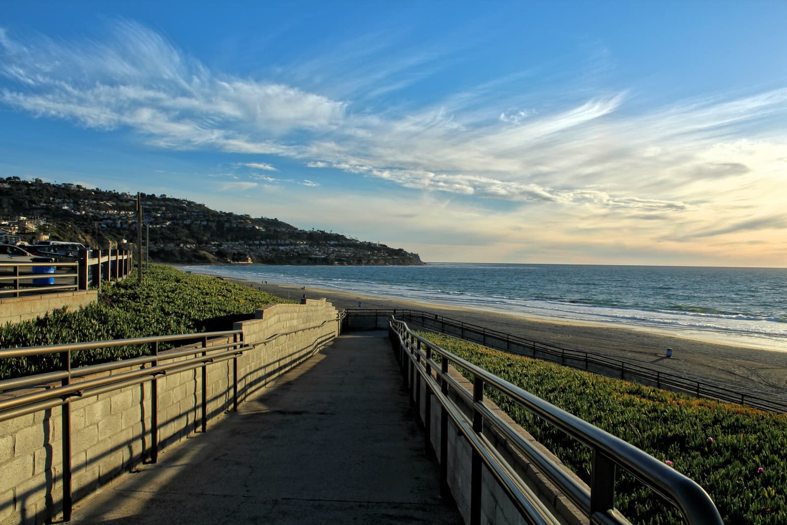
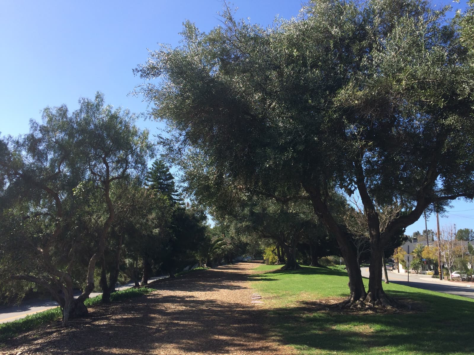
The Sand Section is the beach side of Manhattan Beach. It runs the length of the city's 2.1 miles of ocean frontage, from 45th Street at the El Segundo line down to the Hermosa Beach border, and inland to the Veterans Parkway greenbelt, the strip of park between Valley Drive and Ardmore Avenue. North of Marine Avenue the inland edge follows Bell Avenue instead. In the zoning code this is Area District III, plus El Porto at the north end, which is Area District IV. Our map uses the city's own district lines, so it covers about 4,400 parcels.
People slice it up further. The city's General Plan names Downtown and the North End, which it calls El Porto, as their own areas, and local agents talk about the Strand and the walk streets as places of their own. Brokers file all of it under one MLS area, number 142. One gray zone: the blocks around Grandview Avenue near Sand Dune Park. The General Plan counts the Grandview area as part of the Tree Section, but the zoning map puts it in Area District III with the beach blocks, and that's how our map draws it.
The city was incorporated on December 7, 1912. The 2020 census counted 35,506 people in the whole city.

Sand Section asks 15% more than Manhattan Beach as a whole.
A square foot in Sand Section costs 44% more than across Manhattan Beach.
Listings in Sand Section have been on the market about as long as across Manhattan Beach.
51% of the homes for sale in Sand Section are single-family houses.
Homes for sale in Sand Section are 17% smaller than across Manhattan Beach.
Each card sets the median in Sand Section against all of Manhattan Beach. The arrow on a card lists every Manhattan Beach neighborhood we cover. Asking prices for homes on the market right now inside each mapped area, not sale prices. Updated October 4, 2026, 6:00 AM PT
37 active listings in the mapped area
I’m a Long Beach Realtor and I work Manhattan Beach too. Tell me what you’re after in Sand Section and I’ll help you get there.
Slava Ploshkin · DRE #02323623English and Russian
The restaurants, cafes, shops, parks, and landmarks that give Sand Section its everyday character, most within a short walk.
11 places
Pick one and I’ll show you where it is.
Recreation10 min walk
The concrete pier at the foot of Manhattan Beach Boulevard, dedicated on July 5, 1920, and a California Historical Landmark (No. 1018).
The state owns the pier and the city maintains it.
Landmark10 min walk
The small aquarium inside the Roundhouse at the end of the pier, run by the nonprofit Oceanographic Teaching Stations.
Beach10 min walk
Rows of public courts on the sand on both sides of the pier. The Manhattan Beach Open is played here every August.
Shopping5 min walk
The downtown plaza and shops on the old Metlox Pottery site on Manhattan Beach Boulevard at Morningside Drive, opened in 2005, with public parking underneath.
Restaurant5 min walk
A downtown restaurant on Manhattan Avenue, a couple of blocks up from the pier.
Restaurant5 min walk
The breakfast place on Highland Avenue near 13th Street, a block from the library.
Landmark5 min walk
The county library branch on Highland Avenue, a block from City Hall.
Park15 min walk
The grassy park at Highland Avenue and 27th Street, on the land where Willa and Charles Bruce ran a beach resort for Black Californians until the city condemned it in the 1920s.
Recreation20 min walk
A steep dune at 33rd Street and Bell Avenue that people climb for exercise.
Anyone 13 or older needs an online reservation for a one-hour slot.
Beach30 min walk
The north end of the Sand Section, from Rosecrans Avenue to 45th Street, with a county parking lot at the foot of 45th Street.
Park · Nearby5 min walk
The city park on North Valley Drive, with six lighted tennis courts, two fields, a dog run, and the Joslyn Community Center.
Why the old cottages keep coming down, and what replaces them.
The standard Sand Section lot is 30 feet wide and 90 feet deep, 2,700 square feet, which is also the minimum lot size the code sets for Area District III. In the county's parcel data, 43% of the house lots here fall between 2,600 and 2,800 square feet, and about one in five is a half lot of 1,500 square feet or less.
The rules are what shape the houses. The height limit is 30 feet with up to three stories, measured from the average elevation of the lot's four corners. A house can have 1.6 times the lot area in floor space, about 4,320 square feet on a standard lot, and the count leaves out up to 400 square feet of garage and any basement that sits entirely below grade. The front setback is 5 feet. That formula is why a typical rebuild is a three-level house with a full basement. The code also says the height and floor-area numbers can't be raised unless voters approve it citywide.
About two-thirds of the parcels are zoned RM or RH, which allows more than one unit. On a standard lot the code allows one unit per 1,350 square feet in RM and one per 850 in RH, so a 2,700-square-foot lot can hold two or three units. That's where the duplexes, the side-by-side townhomes, and the small apartment buildings come from.
County records date 43% of the houses to before 1960 and 36% to 1990 or later. The older ones are small: their median is about 1,500 square feet of living space, against about 4,100 for houses built since 2010. When I pulled the listings for this guide in late September 2026, our mapped Sand Section had 35 properties for sale. Houses off the Strand asked about $2.2 million to $14.3 million, half of them above about $6.2 million. The six listings on the Strand asked about $9.6 million to $25 million, and duplexes and triplexes inland asked about $2.5 million to $6.5 million.
The pedestrian streets that make the Sand Section look the way it does, and the permit behind every front garden.
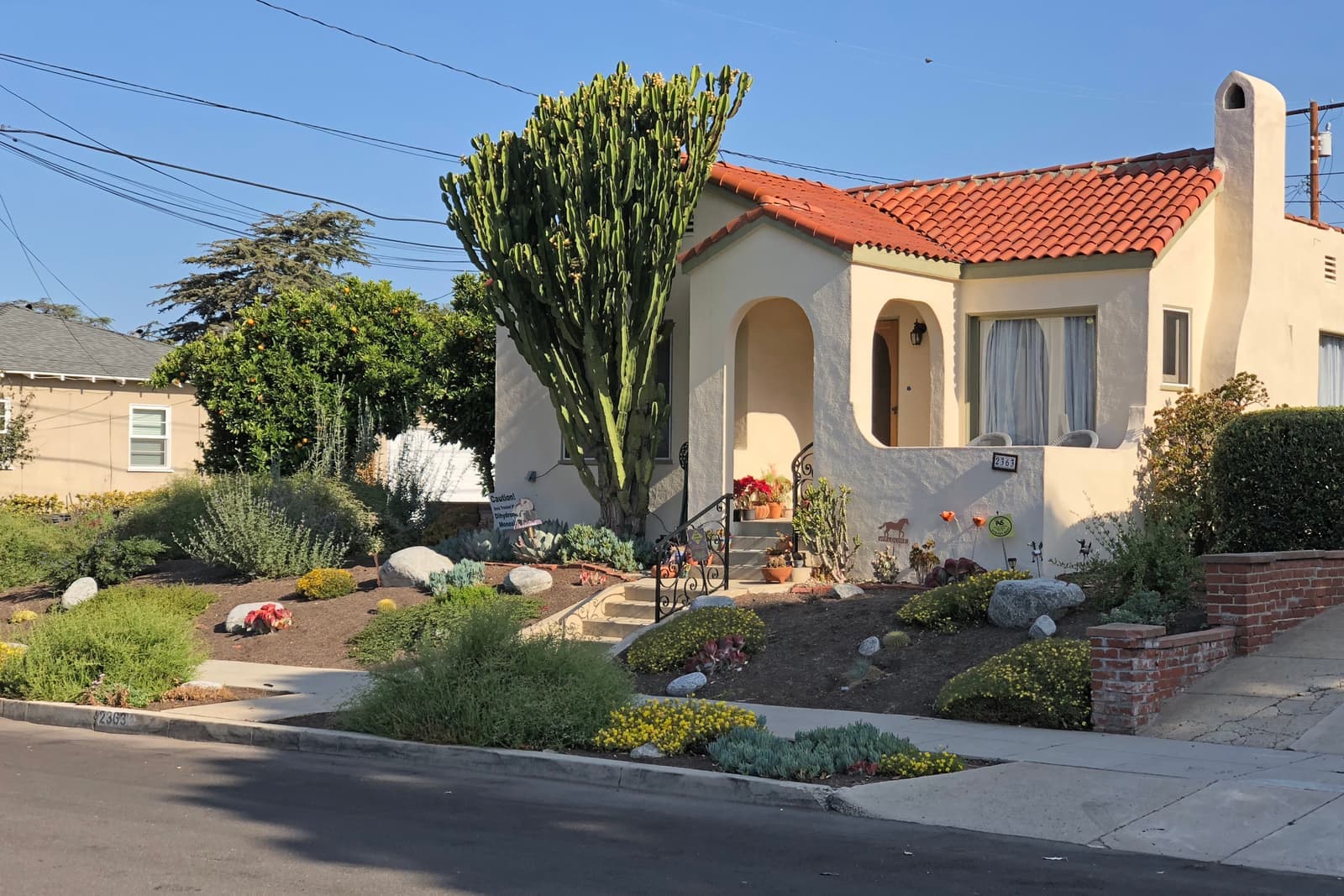
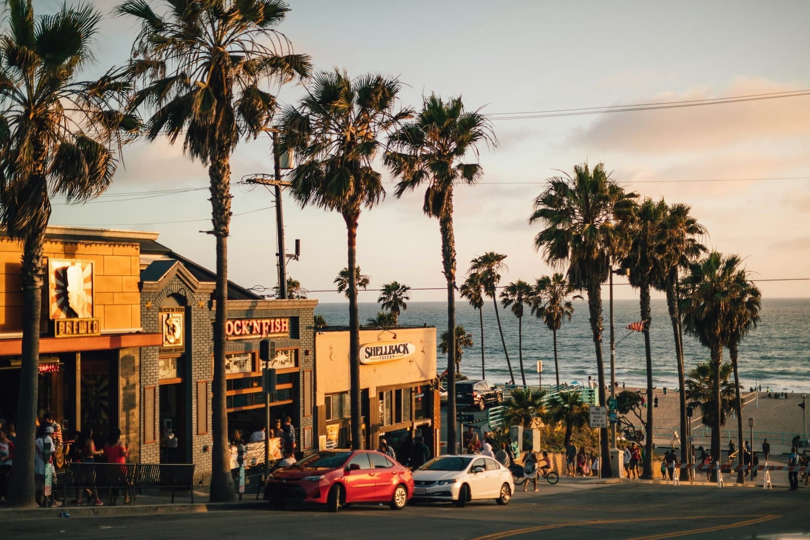
A walk street is a city street with the car lanes replaced by a public walkway. The houses face the path, and cars come in through the alley behind. The odd part is the front yard: the planted strip between the property line and the edge of the walkway is public right-of-way, and the city calls it the encroachment area.
To use that space you need an encroachment permit under Chapter 7.36 of the municipal code, and its conditions are recorded against the property, so they bind the next owner. The rules are specific. Open fences and railings can be up to 42 inches above the walkway, and solid walls up to 32 inches. At least a third of the area has to be landscaped, with plants kept to 42 inches. Patios and decks can rise 12 inches in the front half and 36 inches in the back half. Commercial use of a walk street isn't allowed.
In practice this means the garden you see in the listing photos may sit partly on city land. That's normal here, but I want the recorded permit and a survey that shows where the property line really is before a buyer relies on that space.
Who owns what along the water, and a little history that still matters.
The Strand is the paved public walkway that runs between the beach and the first row of houses. Alongside it, on the beach side, the county's Marvin Braude bike path runs 22 miles from Will Rogers State Beach to Torrance Beach. The sand itself is public beach run by Los Angeles County's Beaches and Harbors department. The county also owns the El Porto and 27th Street parking lots, which the city operates.
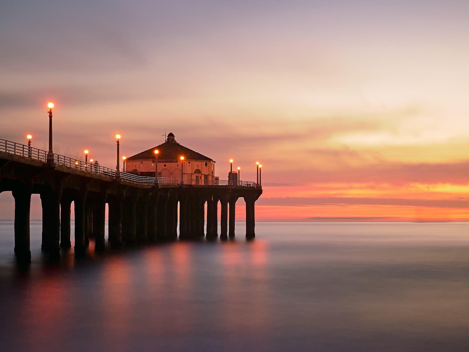
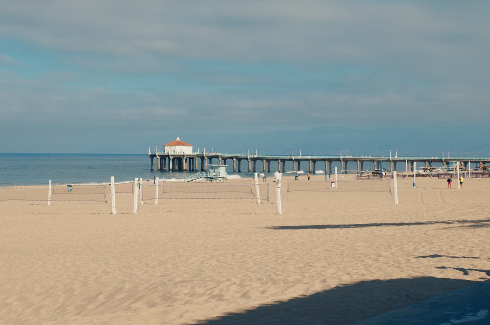
The pier was dedicated on July 5, 1920. The Roundhouse at the end came in 1922 and was rebuilt in 1989, and the deck was fully replaced in 1992. The city lists the pier at 928 feet. It's a California Historical Landmark, No. 1018, and the state owns it while the city maintains it. The railings were replaced in 2024, and in August 2025 the council hired engineers for a structural inspection. The Roundhouse holds a small aquarium run by a nonprofit.
Every August the Manhattan Beach Open fills the courts next to the pier. It was first played in 1960, and winners get a plaque on the pier's Volleyball Walk of Fame. The city approved a six-year permit in March 2026 that keeps it on the third weekend of August through 2031.
Bruce's Beach, the park at Highland Avenue and 27th Street, has a history you'll hear about. Willa and Charles Bruce bought land along the Strand in 1912 and ran a resort for Black beachgoers until the city moved to condemn it in 1924. After a 2021 state law, the county returned two parcels to the Bruce family in 2022, then bought them back in January 2023 for nearly $20 million.

What living near the pier is like on a Saturday, and what parking costs in 2026.
Downtown is the few blocks around Manhattan Beach Boulevard, Manhattan Avenue, and Highland Avenue, plus Metlox Plaza, which opened in 2005 on the old Metlox Pottery site. From most of the Sand Section you walk there. The city adopted a Downtown Specific Plan in 2016, but the Coastal Commission approved it only with 27 changes, and in September 2018 the council rejected those changes, so the plan was never certified.
Parking is the constant complaint. The city runs eight public lots with 899 spaces, and in July 2026 the council adopted variable rates that put downtown and North Manhattan Beach street meters at $3.50 an hour in peak season and $3.00 off-peak, and raised parking tickets by $6. The Lot 3 structure at 12th Street and Morningside Drive, built in 1971, was closed on July 30, 2024 after engineers found damaged columns. The city tore it down, built a temporary surface lot that was finished in early 2026, and is now studying what to build there and at the old bank building at 400 Manhattan Beach Boulevard.
Residents have a few options. Overnight permits for the Upper Pier lots, the 26th Street lot, and the El Porto lot cost $30 for three months, up to two per address. Downtown streets with restricted parking have a residential override hangtag at $15 for the first one and $5 each for up to two more. Walk-street and Strand houses rely on alley garages, so ask how many cars the garage really fits and where your guests will park on a summer weekend.
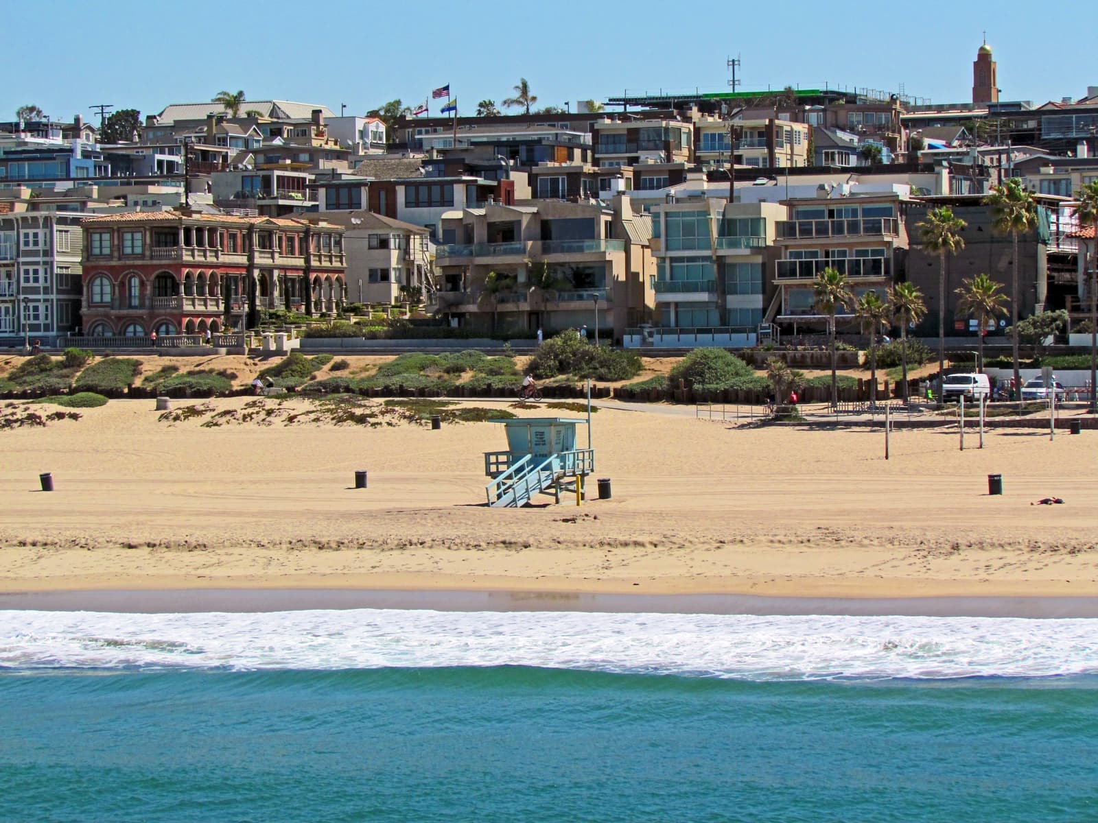
The coastal line decides more here than you'd think, rentals included.
Not all of the Sand Section is in the Coastal Zone. The city's zoning map flags about 71% of the parcels inside it, mostly the blocks nearer the water and all of El Porto, and about 29% outside it, mostly on the eastern blocks. Inside the zone, new construction and major remodels need a coastal development permit under the city's certified Local Coastal Program, and some of those parcels are in the area where permits can be appealed to the Coastal Commission.
The line also decides short-term rentals. The city bans stays under 30 days in residential zones, but its current ordinance, in effect since December 2022, exempts properties inside the Coastal Zone. That follows a 2022 appeals court decision, Keen v. City of Manhattan Beach, which held the city couldn't enforce its earlier ban in the Coastal Zone without Coastal Commission approval. So two houses a few blocks apart can have different rental rights. If rental income is part of the plan, get the parcel's coastal status from the city before you write an offer.
On FEMA's flood map, the streets and the Strand are in zone X, minimal flood hazard, except near the far south end of the Strand around 1st to 5th streets. The sand below is in zones AE and VE with base flood elevations around 16 to 20 feet. The state's tsunami hazard map follows about the same line. These are point checks, not a parcel report, so read the natural hazard disclosure for the specific house.
On a 30-foot lot, the paperwork matters as much as the house.
I start with a survey and the encroachment permit. On a walk street or the Strand, I want to see where the property line is, what the recorded permit allows in front of the house, and whether what's built there matches it.
Next is the building history. On a three-story house with a basement, I pull the permits for the third floor, the roof deck, and the basement, and check the height survey if there is one. If the house is inside the Coastal Zone, I ask for the coastal permit too. For condos and townhomes I read the CC&Rs, the budget, and how the lot is split between the units.
After that come the practical questions: the parcel's coastal status if you might ever rent the house out, the flood zone and the natural hazard report on anything close to the sand, and how parking works for your household and your guests. I do this before an out-of-town buyer gets on a plane, in English or Russian.

29 active rentals in the mapped area
The Sand Section is everything between the ocean and the Veterans Parkway greenbelt on Valley Drive and Ardmore Avenue, from the El Segundo line at 45th Street down to Hermosa Beach. North of Marine Avenue the inland edge follows Bell Avenue. The zoning code calls it Area District III, plus El Porto's Area District IV at the north end, and brokers list it as MLS area 142. It includes downtown, the pier, the walk streets, and the Strand.
The facts in this guide (districts, zones, rules) come from the official records below. We re-check them before property tours.