





Ocean Park asks 5% less than Santa Monica as a whole.
Santa Monica, California · Neighborhood guide
Ocean Park
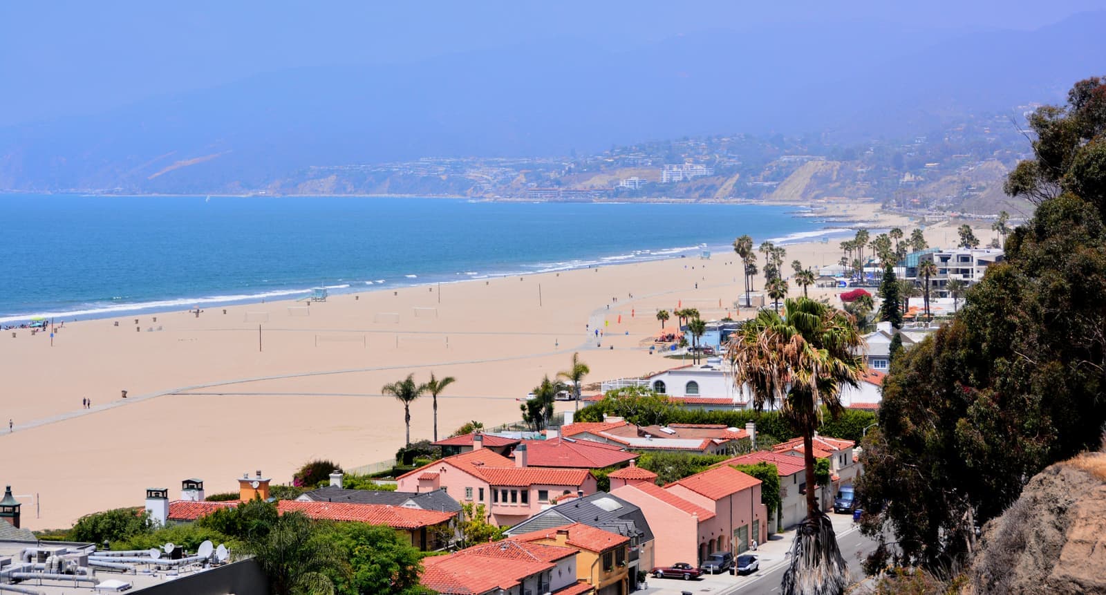
Santa Monica's beach corner south of Pico Boulevard, with Main Street running through it
Median askingOcean Park$1.9M37 for sale
See homesOcean Park, in short.
Ocean Park is the southwest corner of Santa Monica, from the beach east to Lincoln Boulevard and from Pico Boulevard south to the Venice line. It began as an 1890s beach resort, and today it mixes old cottages on small lots, 1920s bungalows, and apartment and condo buildings from the 1960s to the 1980s, with Main Street running through the middle. About 82% of households rent, and the county dates about 92% of the neighborhood's roughly 4,600 apartment units to buildings from before 1979, the rent control cutoff. On September 25, 2026, condos here were asking about $613,000 to $2.4 million and houses about $1.2 million to $4.2 million.
Ocean Park by the numbers.
- 11,678Population
- 18%Homeowner-occupiedoccupied homes
- 72%Bachelor's degree or higherage 25+
- $5,898/moMedian asking rentCurrent MLS listings
- $107,972Median household income
- 45.5Median age
Sources: U.S. Census Bureau, ACS 5-year 2019–2023; neighborhood facts compiled by The Slava House.
The beach corner of Santa Monica
Where Ocean Park starts and stops, and what it's made of.
Ocean Park runs from the sand east to Lincoln Boulevard and from Pico Boulevard south to the Los Angeles line at Venice. That's the area the city's neighborhood map gives the Ocean Park Association, and it's about three-quarters of a square mile including the beach. Main Street runs down the middle for about 0.9 mile, and Ocean Park Boulevard, Hollister, Ashland and Pier avenues cut across it toward the water.
It started in the 1890s as a beach resort laid out by Abbot Kinney and Francis Ryan, before Kinney moved south to build Venice. The oldest pieces are still here. The city's landmark list includes a church building at 2621 2nd Street dated 1875 to 1876, the 1894 Roy Jones house that now holds the California Heritage Museum, and Irving Gill's Horatio West Court from about 1921, which is on the National Register.
Most people here rent. Census numbers for the two tracts that cover most of Ocean Park show about 82% of households renting, against about 71% for Santa Monica as a whole.
Live from the MLS
Ocean Park compared with all of Santa Monica.
A square foot in Ocean Park costs 11% more than across Santa Monica.
Ocean Park$1,158
All of Santa Monica$1,045
Listings in Ocean Park have been on the market 9 days longer than across Santa Monica.
What’s for sale
59% of the homes for sale in Ocean Park are condos.
- Condo59%22 homes
- Single-family22%8 homes
- Multi-unit19%7 homes
Homes for sale in Ocean Park are 8% smaller than across Santa Monica.
Ocean Park1,544 sq ft
All of Santa Monica1,685 sq ft
Each card sets the median in Ocean Park against all of Santa Monica. The arrow on a card lists every Santa Monica neighborhood we cover. Asking prices for homes on the market right now inside each mapped area, not sale prices. Updated October 4, 2026, 2:00 AM PT
Homes for sale in Ocean Park
37 active listings in the mapped area
$2,200,000
Condo2 bd2 ba1,502 sqft
140 Ocean Park Boulevard 425
$2,995,000
Multi-Family3 bd4 ba2,128 sqft
3132 6th Street
$1,199,000
Single-Family2 bd1 ba860 sqft
806 Navy Street
$2,395,000
Condo3 bd3 ba1,910 sqft
125 Pacific Street 8
$4,196,000
Single-Family3 bd3 ba2,301 sqft
706 Navy Street
$2,625,000
Single-Family4 bd2 ba1,480 sqft
2704 3rd Street
$1,049,999
Condo2 bd2 ba1,089 sqft
2312 6th 1
$6,749,000
Multi-Family9 bd10 ba14,037 sqft
2216 Main Street 8 Units
$1,285,000
Condo2 bd2 ba1,072 sqft
2913 3rd Street 306
$995,000
Condo2 bd2 ba854 sqft
2721 2nd Street 205
$2,995,000
Single-Family3 bd2 ba1,748 sqft
712 Copeland Court
$1,649,000
Condo2 bd3 ba1,379 sqft
2806 6th Street
$3,495,000
Single-Family4 bd3 ba1,770 sqft
2418 4th Street
$3,178,000
Multi-Family11 bd8 ba5,744 sqft
712 Pacific Street
$2,100,000
Condo3 bd3 ba1,805 sqft
2222 Neilson Way 102
$1,900,000
Condo2 bd3 ba2,010 sqft
3019 3rd Street 202

Still deciding? Ask me.
I’m a Long Beach Realtor and I work Santa Monica too. Tell me what you’re after in Ocean Park and I’ll help you get there.
Slava Ploshkin · DRE #02323623English and Russian
Where to eat, shop, and explore in Ocean Park
The restaurants, cafes, shops, parks, and landmarks that give Ocean Park its everyday character, most within a short walk.
11 places
Pick one and I’ll show you where it is.
Shopping5 min walk
The city's Sunday market at 2640 Main Street, running since 1995 with about 40 California farms.
Sundays 8:30 a.m. to 1:30 p.m., year-round. Come early for parking.
Landmark5 min walk
A museum in the 1894 Roy Jones house on Main Street, a city landmark designed by Sumner P. Hunt.
Landmark5 min walk
The branch library at 2601 Main Street, built around 1917 to 1918 and a city landmark since 1977.
Coffee10 min walk
Coffee at 2003 Main Street, in the 1922 building the city landmarked as the Horizons West Surf Shop.
Coffee5 min walk
A coffee bar at 2439 Main Street, a block from Ocean Park Boulevard.
Restaurant5 min walk
A restaurant and bar at 2442 Main Street, near Ocean Park Boulevard.
Restaurant5 min walk
Wolfgang Puck's restaurant at 2709 Main Street, open since 1983.
Park5 min walk
A beachfront park at 2701 Barnard Way with six tennis courts, a basketball court and a spiral path up to Ashland Walk.
Beach5 min walk
The wide sand at the foot of Ocean Park Boulevard, with the beach bike path running along it toward the pier and Venice.
The city's Lot 5 South at 2600 Barnard Way is the nearest beach lot.
Park10 min walk
A neighborhood park of about two acres at 633 Kensington Road, near Lincoln.
Recreation · Nearby20 min walk
A bit under a mile up the beach path from the foot of Ocean Park Boulevard, north of Pico.
Mostly apartments, with small houses on small lots
What you can actually buy here, block by block.
The county's parcel map shows about 600 single-family houses in Ocean Park, and they're small. The median house lot is about 3,400 square feet, about 60% are under 4,000, and the median house is about 1,400 square feet. The median recorded build year is 1924. Many are beach cottages and Craftsman bungalows, and on some lots a newer house has replaced the original.
Most of the housing is apartments. The county counts about 4,600 apartment units in roughly 700 buildings, from duplexes and fourplexes on the side streets to larger buildings on 3rd, 4th and 6th streets and Neilson Way. About 92% of those units are in buildings from before 1979.
Ocean Park also has about 1,500 condo units, mostly in buildings from the 1960s through the 1980s, with the biggest counts on 4th Street, Ocean Park Boulevard, Neilson Way and 3rd Street. Santa Monica turned about 3,100 apartments into condos under its TORCA program, so on an older building ask whether it was one of them; it matters for rent control if you plan to rent the unit out.
Three small historic districts sit here: the Third Street Neighborhood district, designated in 1990, the Bay Street Craftsman Cluster from 2001, and the 4th Street Corner district. More than 35 individual city landmarks and structures of merit are inside our map, mostly beach cottages, bungalows and early commercial buildings.
- About 600 houses, many on lots under 4,000 square feet
- About 4,600 apartment units and 1,500 condo units
- Three historic districts and more than 35 city landmarks
Most of Ocean Park's apartments are rent-controlled
What that means if you buy a building or a condo to rent out.
Santa Monica's rent control law, passed by voters in April 1979, generally covers rental units built before April 10, 1979, and that describes most of Ocean Park. The city had 27,589 controlled units at the end of 2025. Since January 1, 1999, owners can set the starting rent when a new tenant moves in, and after that increases are limited to the annual general adjustment, which is 2.6% for September 2026, capped at $70 a month for units at $2,674 or more.
Tenants in controlled units have just-cause eviction protections, and a no-fault move-out, such as an owner move-in or leaving the rental business under the Ellis Act, comes with a relocation payment set by the city. In October 2025 the Rent Control Board also capped catch-up increases from banked adjustments at 10% in any 12-month period.
Houses and separately sold condos are different. The state's Costa-Hawkins Act lets owners set the rent on most of them when the tenant moved in after January 1, 1996, but the city's just-cause rules still apply. The Rent Control Board's annual report says about 3,100 condos converted from apartments under TORCA would qualify for that decontrol. If you're buying a small building on a side street to live in one unit, ask about the owner-occupied exemption for properties of three units or fewer, which the Board grants. It ends when you sell.

- Units built before April 10, 1979 are generally controlled
- The September 2026 increase is 2.6%, capped at $70 a month
- Houses and most condos can rent at market rates, but eviction rules still apply
Coastal permits and the tsunami line
What being this close to the water changes on paper.
Nearly all of Ocean Park is inside the California Coastal Zone on the city's map, so bigger projects can need a coastal development permit on top of the usual building permits. Zoning is its own set of Ocean Park districts. About half the zoned land is OP2, the city's Ocean Park low-density residential zone, and the rest is split among single-unit, duplex, medium and high-density Ocean Park zones, plus the beach itself.
On FEMA's flood map the sand is zone VE, with a base flood elevation of 15 feet at the spot I checked near the foot of Ocean Park Boulevard. The points I checked on Barnard Way, Neilson Way, 2nd Street and Main Street are zone X, minimal flood hazard.
The state's tsunami hazard area is a bigger line. It covers about a fifth of our Ocean Park map, the beach plus the condo and apartment buildings closest to it on Barnard Way, Neilson Way, Sea Colony Drive and the west end of Ocean Park Boulevard. That goes on the Natural Hazard Disclosure, and it's worth knowing the evacuation route if you live there.
- Nearly the whole neighborhood is in the Coastal Zone
- The sand is FEMA zone VE; the streets I checked inland are zone X
- The tsunami hazard area covers the buildings nearest the beach
Santa Monica Airport and the 2028 closure
How the planes affect Ocean Park, and what changes after 2028.
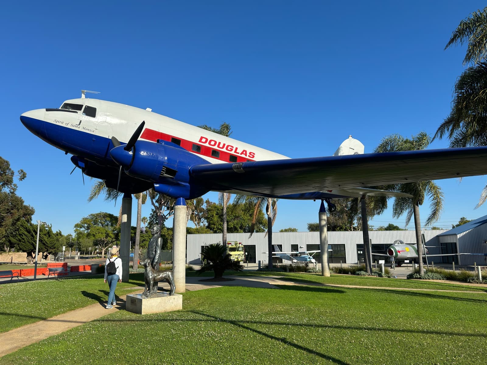
Santa Monica Airport sits about two miles east, past Sunset Park. The city says planes take off toward the west about 95% of the time, over Penmar Golf Course, and are then asked to turn north at the shoreline or south at Lincoln. The ones that turn north head up the coast past Ocean Park. The city counted 78,693 takeoffs and landings in 2025, up 39% from 2024, mostly propeller planes.
The 2017 consent decree with the FAA lets the city close the airport after December 31, 2028, and the city has repeated that it plans to close it at midnight that night. The land is slated to become a park. Before you buy anywhere in Ocean Park, visit at different times of day and ask the seller what they hear.
- Most takeoffs head west, then turn north at the shoreline or south at Lincoln
- Traffic rose 39% in 2025, mostly propeller planes
- The city plans to close the airport at the end of 2028
Main Street and the beach path
Most days happen on foot between Main Street and the sand. Parking is the complaint.
Main Street is where the neighborhood shops and eats. The Sunday farmers market at 2640 Main has run since 1995, from 8:30 a.m. to 1:30 p.m., rain or shine, with about 40 California farms. For coffee there's Dogtown, in the 1922 building the city landmarked as the Horizons West Surf Shop, or Blue Bottle a few blocks south. The Galley and Chinois on Main are on the same stretch, and the California Heritage Museum and the Ocean Park Library face each other near Ocean Park Boulevard.
The beach is a few blocks west of Main. The bike path runs north to the pier, a bit under a mile from the foot of Ocean Park Boulevard, and south into Venice. Ocean Park doesn't have Venice's grid of walk streets, but a few blocks end in pedestrian paths to the sand. The ends of Bicknell Avenue and Bay Street near the north edge are paths, and Ashland Walk connects the Main Street side with the beach through Ocean View Park.
Parking is the daily complaint. Many side streets are in the city's preferential permit parking zones, so check the rules on a block before you count on guest parking. Joslyn Park near Lincoln and the beach parks along Barnard Way are the green space.
Ocean Park is in the Santa Monica-Malibu Unified School District. When I ran Ocean Park addresses through the district's school locator in September 2026, they came back Ocean Park School House, a TK-8 school at 2526 6th Street on the campus the city's map still labels John Muir Elementary, then John Adams Middle School and Santa Monica High. The district's locator is the final word for any one address, though, and boundaries do move.
- The Sunday farmers market at 2640 Main has run since 1995
- The bike path goes north to the pier and south to Venice
- Ocean Park School House, then John Adams Middle and Samohi
What's on the market, and what I read first
Condos made up most of the listings in September 2026, and their median asking price was around $1.07 million.
On September 25, 2026, our Ocean Park map had 24 condos for sale, asking about $613,000 to $2.4 million, with a median around $1.07 million. There were 8 houses, asking about $1.2 million to $4.2 million, and 7 small income properties from about $1.75 million to $7.65 million.
On a condo I read the HOA's budget, reserve study and minutes, and I check whether the building was a TORCA conversion. On an income property I want the Rent Control Board's registered rents for every unit, not just the seller's rent roll, because controlled rents are what you'll actually collect. On a cottage I look for permits on every addition, since many of these houses have grown in pieces.
- 24 condos listed on September 25, 2026, asking about $613K to $2.4M
- Ask the Rent Control Board for registered rents on any income property
- Check permits on cottage additions and HOA reserves on condos
More Ocean Park facts
- ~82%Renter householdsIn the two tracts covering most of Ocean Park
- ~4,600Apartment unitsAbout 92% in buildings from before 1979
- ~3,400 sq ftMedian house lotAcross about 600 single-family parcels
- ~0.9 miMain StreetFrom Pico Boulevard to the Venice line
- 35+City landmarksPlus three small historic districts
- ~100%In the Coastal ZoneNearly the whole neighborhood, by the city's map






Rentals in Ocean Park
36 active rentals in the mapped area
$11,995/mo
Single-Family4 bd3 ba2,400 sqft
722 Kensington Road
$3,195/mo
Condo1 bd1 ba630 sqft
2045 4th Street 208B
$3,390/mo
Condo1 bd1 ba900 sqft
2901 4th Street 103
$3,500/mo
Apartment1 bd1 ba750 sqft
623 Ashland Avenue 4
$3,499/mo
Single-Family1 bd1 ba500 sqft
726 Pier Avenue B
$4,200/mo
Single-Family1 bd1 ba
129 Ocean Park Boulevard
$4,000/mo
Condo1 bd1 ba614 sqft
2721 2nd Street 104
$5,895/mo
Condo4 bd2 ba1,350 sqft
643 Pacific Street 4
$7,995/mo
Condo2 bd2 ba1,661 sqft
2930 Neilson Way PH603
$12,500/mo
Single-Family3 bd4 ba
209 Hollister Avenue
$11,000/mo
Apartment2 bd2 ba1,505 sqft
2918 3rd Street 1
$10,975/mo
Single-Family3 bd3 ba2,118 sqft
744 Marine Street
$11,500/mo
Townhouse3 bd3 ba2,550 sqft
2216 Main Street 204
$3,799/mo
Condo1 bd1 ba643 sqft
2721 2nd Street 214
$5,900/mo
Condo2 bd1 ba939 sqft
2101 Ocean Avenue 17
$6,500/mo
Condo2 bd2 ba1,188 sqft
2101 Ocean Avenue 2
Compare Ocean Park
Compare Ocean Park with another neighborhood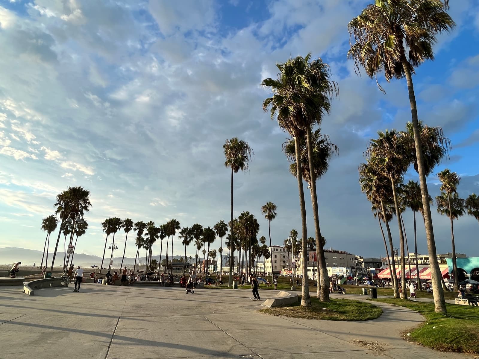

Questions & answers
Ocean Park is the southwest corner of Santa Monica, from the beach east to Lincoln Boulevard and from Pico Boulevard south to the Los Angeles city line at Venice. Main Street runs through the middle of it. That's the area the city's neighborhood map gives the Ocean Park Association.
Explore near Ocean Park
1.3 mi awaySunset Park1930s and 40s houses between Pico Boulevard and Santa Monica Airport, with Clover Park in the middleRead the guide ›1.6 mi away · Los AngelesVeniceSmall beach lots on canals and walk streets, inside the City of Los AngelesRead the guide ›2.5 mi awayNorth of MontanaSanta Monica's single-family streets between Montana Avenue and the canyon rim, from Ocean Avenue to 26th StreetRead the guide ›5.7 mi away · Los AngelesBrentwoodCanyon houses above Sunset and big-lot streets below it, on the west side of the 405Read the guide ›6.6 mi away · Beverly HillsThe Beverly Hills FlatsCurving 1906 streets between Santa Monica Boulevard and Sunset, each planted with its own kind of treeRead the guide ›7.7 mi away · Los AngelesBeverly GroveThe flat Los Angeles blocks between the Beverly Hills line and Fairfax Avenue, where most of what sells is a boulevard condo or a 1920s duplexRead the guide ›
Where we check the facts
The facts in this guide (districts, zones, rules) come from the official records below. We re-check them before property tours.
- City of Santa Monica: neighborhood organization boundariesgisdata.santamonica.govwhere Ocean Park starts and stops
- Santa Monica Rent Control Board: 2025 annual reportsmgov.netcontrolled units, exemptions, Costa-Hawkins, TORCA
- Santa Monica Rent Control: maximum lawful rentsantamonica.govSeptember 2026 general adjustment
- Santa Monica Rent Control: exemptionssantamonica.govowner-occupied and new-construction exemptions
- FEMA Flood Map Service Centermsc.fema.govflood zones by address
- California Geological Survey: tsunami hazard areasconservation.ca.govtsunami hazard area
Show all 17 sourcesShow fewer
- California Coastal Commissioncoastal.ca.govcoastal development permits
- City of Santa Monica: Main Street Farmers Marketsantamonica.govmarket days and history
- City of Santa Monica: Ocean View Parksantamonica.govpark and Ashland Walk
- City of Santa Monica: airport operations and noise reportssantamonica.govflight paths and 2025 traffic
- City of Santa Monica: airport closure at the end of 2028santamonica.govconsent decree and closure date
- Ocean Park School House (SMMUSD)opsh.smmusd.orgTK-8 neighborhood school
- SMMUSD school locatorlocator.pea.powerschool.comschool assignment by address
- City of Santa Monica GIS datagisdata.santamonica.govzoning, coastal zone, landmarks, historic districts
- Los Angeles County Assessorportal.assessor.lacounty.govlot sizes, unit counts, recorded build years
- U.S. Census Bureau: American Community Surveydata.census.govrenter and owner shares
- CRMLSgo.crmls.orgactive listings
Photo credits (8)
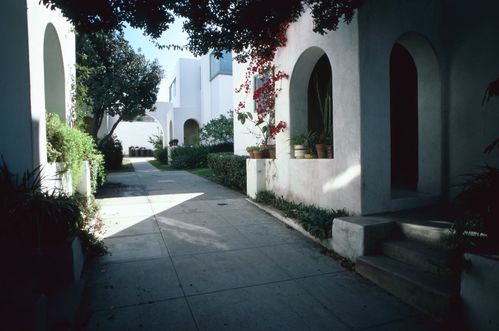
- The courtyard walk at Horatio West Court on Hollister Avenue, Irving Gill's apartments from about 1921André Corboz (Accademia di architettura di Mendrisio), CC BY-SA 4.0
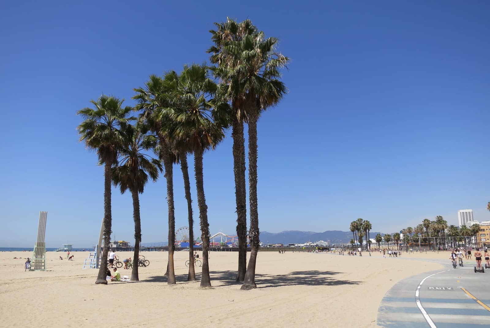
- Palms beside the beach bike path in Ocean Park, looking north to the pierKonrad Hädener, CC BY 2.0
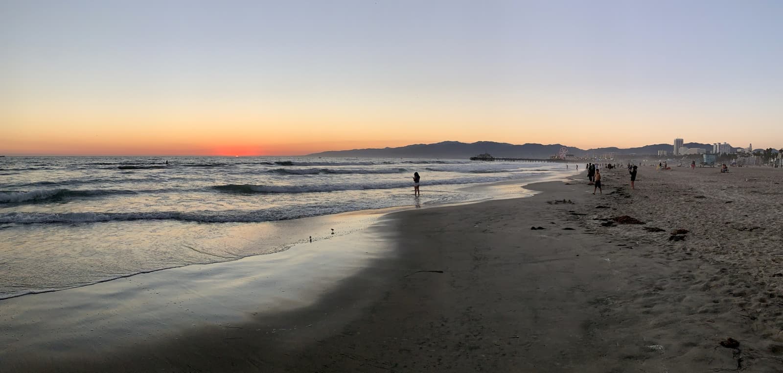
- Dusk on the beach at Ocean Park, looking north to the Santa Monica PierAPK, CC BY-SA 4.0
- Palms on the lawn above the beach in Ocean Park, with beachfront condos behindAnother Believer, CC BY-SA 4.0
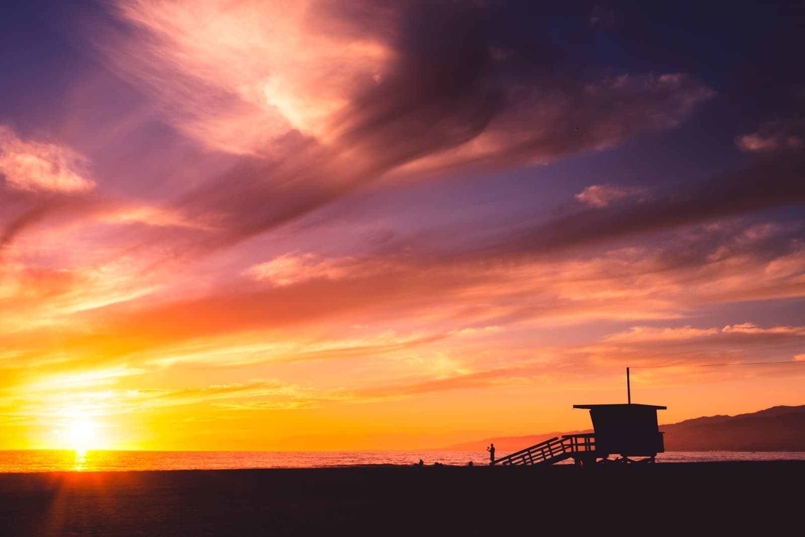
- Sunset over Santa Monica State BeachJosh Rose, CC0
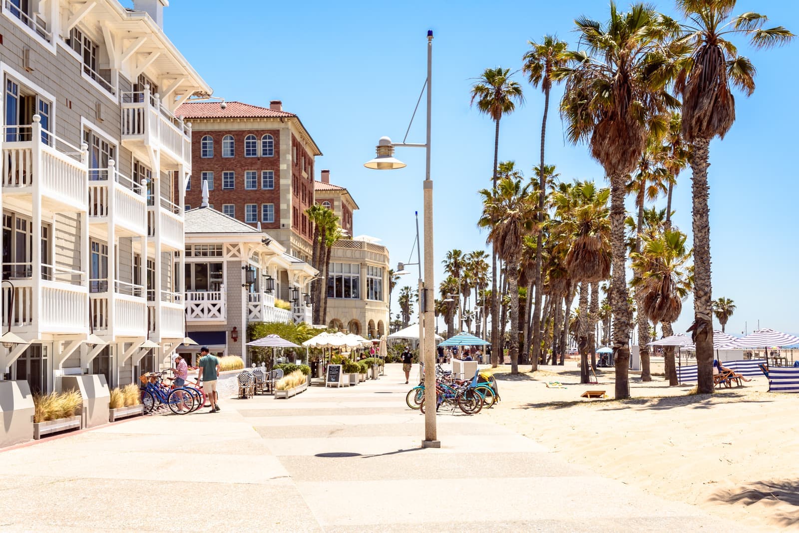
- The beach walk at Shutters and the Casa del Mar, where Ocean Park meets Pico BoulevardDomenico Convertini, CC BY-SA 2.0
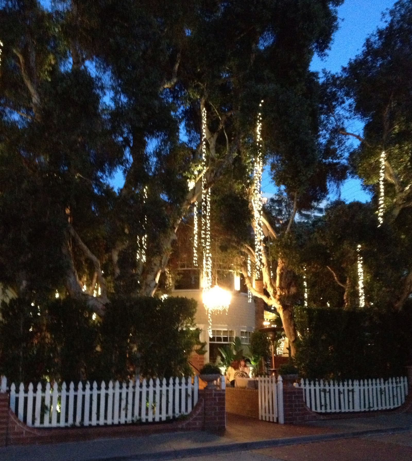
- A chandelier and string lights hang in the trees over a picket fence on Main StreetCarlos Pacheco, CC BY 2.0
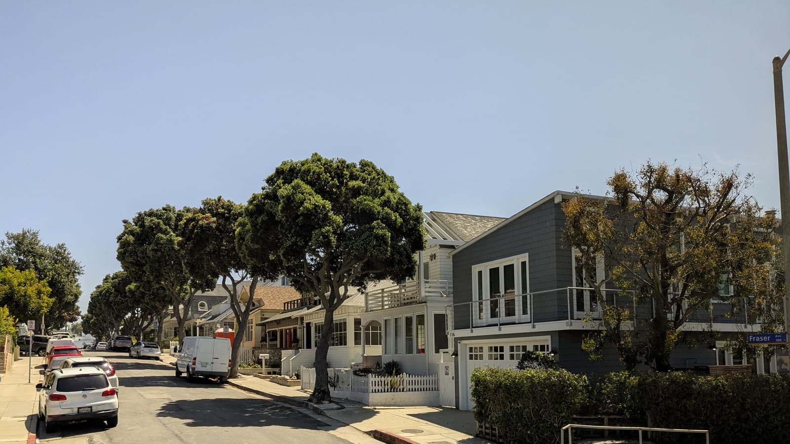
- Beach cottages and street trees at Fraser Avenue in Ocean Parkpatrick janicek, CC BY 4.0, cropped